|
The village of Renung is a small village located south west of France. The town of Renung is located in the department of Landes of the french region Aquitaine. The town of Renung is located in the township of Aire-sur-l'Adour part of the district of Mont-de-Marsan. The area code for Renung is 40240 (also known as code INSEE), and the Renung zip code is 40270.
Geography and map of Renung :
The altitude of the city hall of Renung is approximately 128 meters. The Renung surface is 21.95 km ². The latitude and longitude of Renung are 43.748 degrees North and 0.357 degrees West.
Nearby cities and towns of Renung are :
Bordères-et-Lamensans (40270) at 2.83 km, Cazères-sur-l'Adour (40270) at 3.59 km, Duhort-Bachen (40800) at 3.81 km, Classun (40320) at 5.95 km, Larrivière-Saint-Savin (40270) at 6.02 km, Eugénie-les-Bains (40320) at 6.05 km, Grenade-sur-l'Adour (40270) at 6.14 km, Le Vignau (40270) at 6.18 km.
(The distances to these nearby towns of Renung are calculated as the crow flies)
Population and housing of Renung :
The population of Renung was 467 in 1999, 453 in 2006 and 472 in 2007. The population density of Renung is 21.50 inhabitants per km². The number of housing of Renung was 186 in 2007. These homes of Renung consist of 168 main residences, 9 second or occasional homes and 9 vacant homes. |
|
|
Hotel Renung
|
|
|
Book now ! Best Price Guaranteed, no booking fees, pay at the hotel with our partner Booking.com, leader in online hotel reservation.
Find all hotels of Renung : Hotel Renung
| |
|
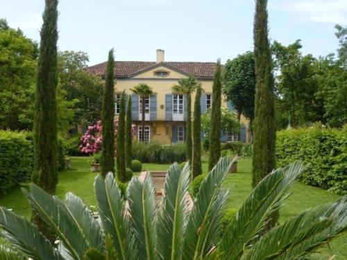
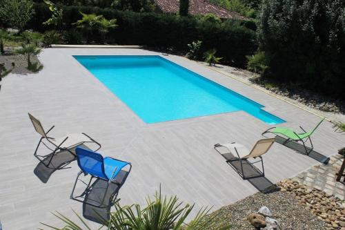
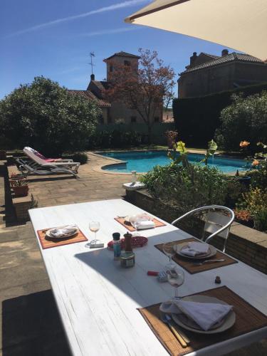
Guest accommodation : House La vénerie de marrast
Situated in Bordères-et-Lamensans, House La vénerie de marrast offers accommodation with a private pool. Guests staying at this holiday home have access to a fully equipped kitc...
Address : La Vénerie de Marrast 40270 Bordères-et-Lamensans
Distance Guest accommodation - Renung : 4.02 km
|
|
|
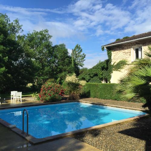
Set in Eugénie-les-Bains, Le Clos Nicolas offers 3-star accommodation with a seasonal outdoor swimming pool, a garden and a terrace. Among the facilities of this property are a ...
Price : from 85.00 €
to 90.00 €
Contact : 475 route de Nicolas 40320 Eugénie-les-Bains
Distance Hotel - Renung : 5.62 km
|
|
|
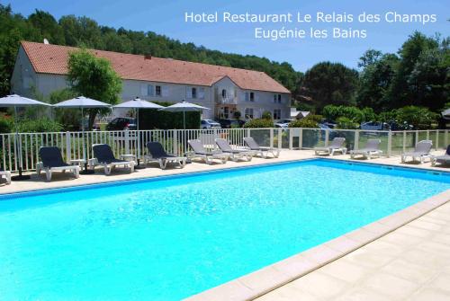
Hotel : Hotel Le Relais des Champs

Offering a seasonal outdoor swimming pool, an à la carte restaurant and bicycle rental, Hotel Le Relais des Champs is located in Eugénie-les-Bains. Free Wi-Fi access is availabl...
Contact : Route Nicolas 40320 Eugénie-les-Bains
Distance Hotel - Renung : 5.68 km
|
|
|
Apartment : Appartement Boucou
Situated in Buanes, in the heart of the Tursan region, this air-conditioned family-run two-bedroom apartment is set with a seasonal, shared outdoor swimming pool. Free WiFi and ...
Contact : Quartier Boucou 40320 Buanes
Distance Apartment - Renung : 6.41 km
|
|
|
Apartment : Gites Matilon
Located in Buanes, Gites Matilon offers accommodation with a year-round outdoor pool and barbecue facilities. Free WiFi is offered. Each of the units features a flat-screen TV,...
Address : Maison MATILON Chemin de Padiben 40320 Buanes
Distance Apartment - Renung : 6.92 km
|
|
|
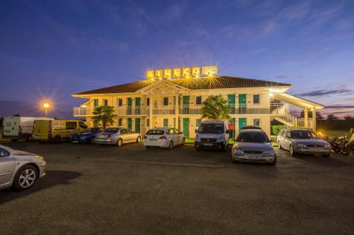
Hotel : Aireco
Located 5 km from Aire-sur-Adour's centre and an hour’s drive north of Pau and the A65 motorway, Aireco is a hotel offering air-conditioned rooms equipped with a TV and a privat...
Prices : from 39.00 €
Contact : Entrée Aire Sur L'adour - Route De Bordeaux 40270 Cazères-sur-lʼAdour
Distance Hotel - Renung : 6.93 km
|
|
|
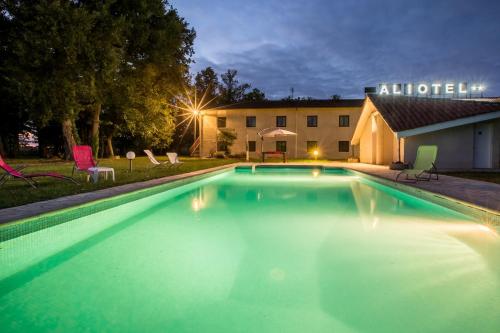
Hotel : Aliotel
Located 5 km from Aire-sur-l'Adour centre, Hotel Aliotel features a swimming pool and a tennis court. It offers modern accommodation and a cafeteria. Free WiFi access is availab...
Rate : from 49.00 €
to 55.00 €
Contact : 485 Route De Bordeaux 40270 Cazères-sur-lʼAdour
Distance Hotel - Renung : 6.95 km
|
|
|
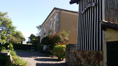
Bed and Breakfast : Chambres d'Hôtes Le Mas
Located in Landes, just 100 metres from Sainte Quitterie Unesco Church, Chambres d’hôtes Le Mas offers free Wi-Fi, an outdoor swimming pool, terrace and garden. Pau is 50 km awa...
Price : from 68.00 €
to 155.00 €
Contact : 17, rue du château 40800 Aire-sur-lʼAdour
Distance Bed and Breakfast - Renung : 8.92 km
|
|
|
Hotel : Chez l'ahumat
Featuring free WiFi, a restaurant and a terrace, Chez l'ahumat offers pet-friendly accommodation in Aire-sur-l’Adour, 46 km from Pau. Guests can enjoy the on-site bar. Free priv...
Prices : from 35.00 €
to 70.00 €
Address : 2 bis rue Pierre Mendés France 40800 Aire-sur-lʼAdour
Distance Hotel - Renung : 9.05 km
|
|
|
Hotel : N'Atura Hôtel
Set along the Adour River in Aire-sur-l’Adour and offering an outdoor seasonal swimming pool, N'Atura Hôtel is a 2-star hotel with air conditioned rooms. Each room at N'Atura H...
Rate : from 50.00 €
to 84.00 €
Contact : 28, avenue du 4 septembre 40800 Aire-sur-lʼAdour
Distance Hotel - Renung : 9.23 km
|
|
Find another hotel near Renung : Renung hotels list
|
Map of Renung
|
|
Map of Renung :
At right you can find the localization of Renung on the map of France. Below, this is the satellite map of Renung. A road map, and maps templates of Renung are available here : "road map of Renung". This map show Renung seen by the satellite of Google Map. To see the streets of Renung or move on another zone, use the buttons "zoom" and "map" on top of this dynamic map.
Search on the map of Renung :
To search hotels, housings, tourist information office, administrations or other services, use the Google search integrated to the map on the following page : "map Renung".
Hotels of Renung are listed on the map with the following icons: 
The map of Renung is centred in the following coordinates :
|

|
|
|
|
Print the map of Renung

Print the map of Renung : map of Renung
|
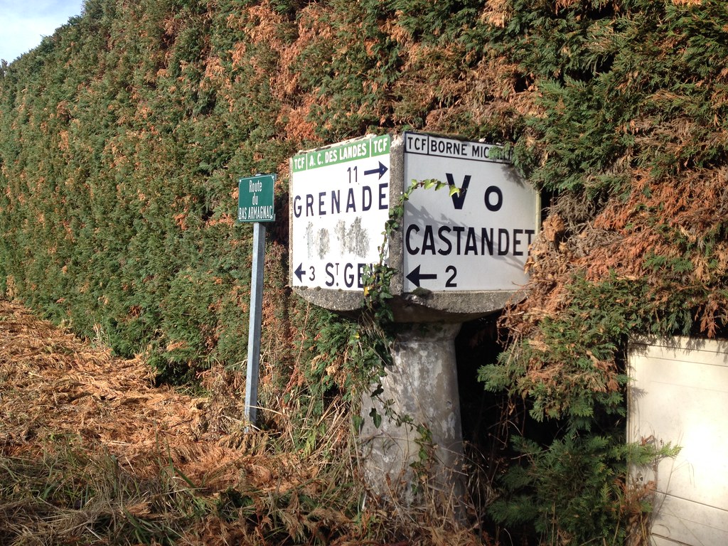
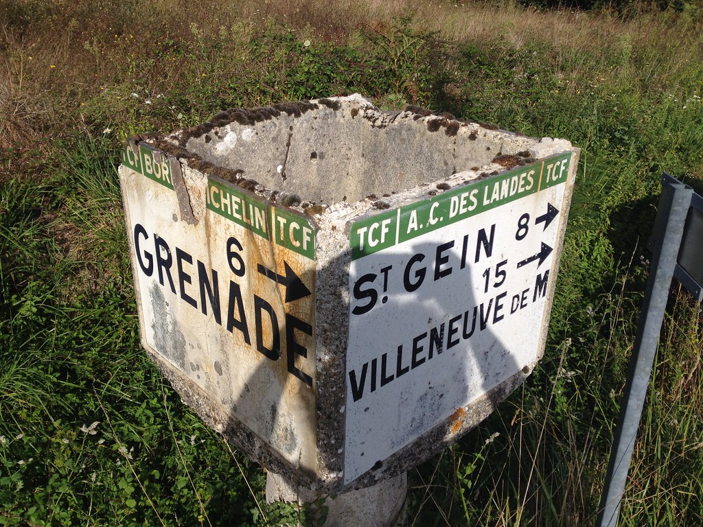
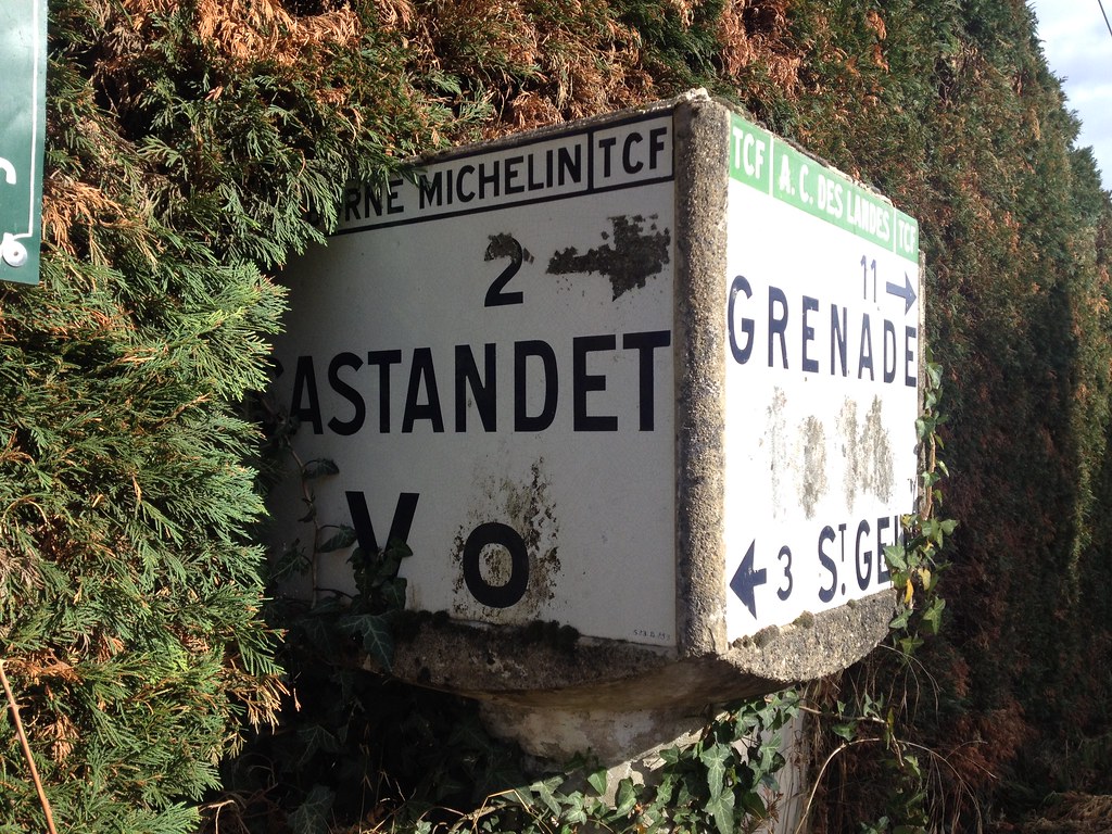
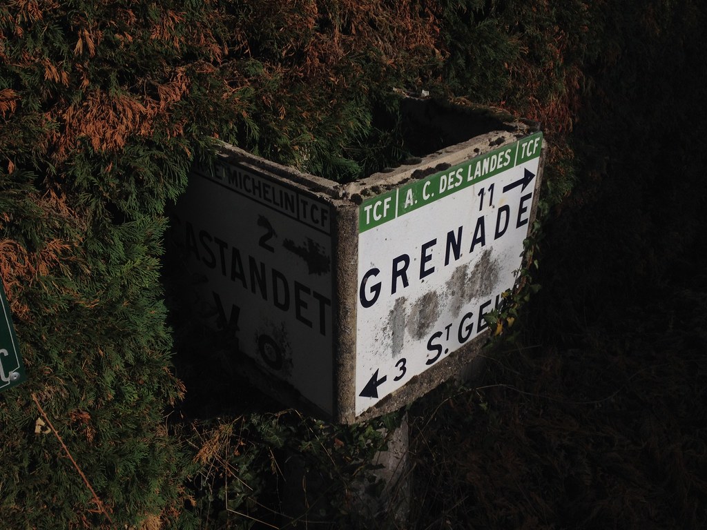
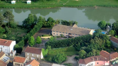
Photos Renung
|
See all photos of Renung :
Other photos of Renung and nearby towns can be found here: photos Renung
|
|
Renung weather forecast
Find next hours and 7 days weather forecast for Renung here : weather Renung (with english metrics)
This is the last weather forecast for Renung collected by the nearest observation station of Aire-sur-l'Adour.
Week Forecast:
The latest weather data for Renung were collected Wednesday, 17 April 2024 at 17:00 from the nearest observation station of Aire-sur-l'Adour.
| Wednesday, April 17th |
15°C 8°C
20%
83%
|
Mostly cloudy
Temperature Max: 15°C Temperature Min: 8°C
Precipitation Probability: 20% (Rain)
Percentage of sky occluded by clouds: 83%
Wind speed: 12 km/h East
Humidity: 70%° UV Index: 4
Sunrise: 07:14 Sunset: 20:47 |
|
| | Thursday, April 18th |
15°C 7°C
30%
63%
|
Drizzle
Temperature Max: 15°C Temperature Min: 7°C
Precipitation Probability: 30% (Rain)
Percentage of sky occluded by clouds: 63%
Wind speed: 12 km/h South-East
Humidity: 69%° UV Index: 4
Sunrise: 07:12 Sunset: 20:48 |
|
| | Friday, April 19th |
19°C 3°C
0%
0%
|
Clear
Temperature Max: 19°C Temperature Min: 3°C
Precipitation Probability: 0%
Percentage of sky occluded by clouds: 0%
Wind speed: 9 km/h West
Humidity: 51%° UV Index: 6
Sunrise: 07:11 Sunset: 20:49 |
|
| | Saturday, April 20th |
19°C 4°C
0%
23%
|
Clear
Temperature Max: 19°C Temperature Min: 4°C
Precipitation Probability: 0%
Percentage of sky occluded by clouds: 23%
Wind speed: 9 km/h Sout-East
Humidity: 62%° UV Index: 5
Sunrise: 07:09 Sunset: 20:51 |
|
|
Attribution: 
|
|
Other maps, hotels and towns in france
Find another town, zip code, department, region, ...
Quick links Renung :
Make a link to this page of Renung with the following code :
|
|
|
 French Version : http://www.cartesfrance.fr/carte-france-ville/40240_Renung.html