|
The city of Rethel is a french city located north east of France. The city of Rethel is located in the department of Ardennes of the french region Champagne-Ardenne. The city of Rethel is located in the township of Rethel part of the district of Rethel. The area code for Rethel is 08362 (also known as code INSEE), and the Rethel zip code is 08300.
Geography and map of Rethel :
The altitude of the city hall of Rethel is approximately 130 meters. The Rethel surface is 18.58 km ². The latitude and longitude of Rethel are 49.51 degrees North and 4.366 degrees East.
Nearby cities and towns of Rethel are :
Sault-lès-Rethel (08300) at 1.42 km, Acy-Romance (08300) at 2.21 km, Biermes (08300) at 2.92 km, Sorbon (08300) at 3.47 km, Bertoncourt (08300) at 3.92 km, Barby (08300) at 4.04 km, Doux (08300) at 4.58 km, Thugny-Trugny (08300) at 4.92 km.
(The distances to these nearby towns of Rethel are calculated as the crow flies)
Population and housing of Rethel :
The population of Rethel was 8 053 in 1999, 7 847 in 2006 and 7 793 in 2007. The population density of Rethel is 419.43 inhabitants per km². The number of housing of Rethel was 3 916 in 2007. These homes of Rethel consist of 3 572 main residences, 42 second or occasional homes and 302 vacant homes. |
|
|
Hotel Rethel
|
|
|
Book now ! Best Price Guaranteed, no booking fees, pay at the hotel with our partner Booking.com, leader in online hotel reservation.
Find all hotels of Rethel : Hotel Rethel
| |
|
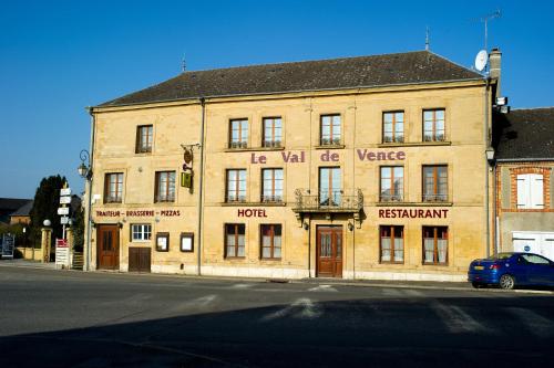
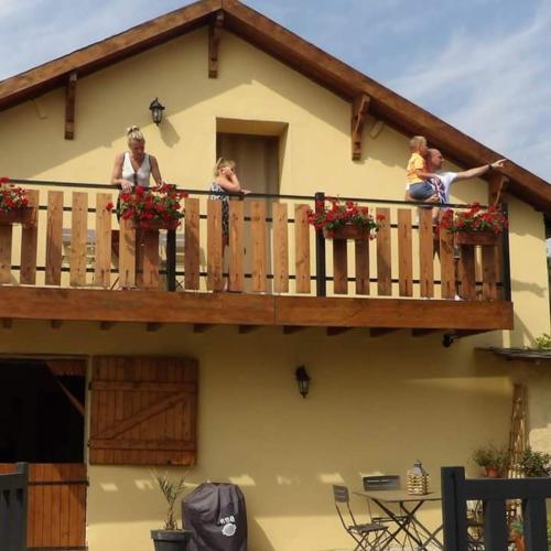
Hotel : Le Val de Vence

This hotel is just 20 km from Charleville-Mézières and 15 km from 7 Fontaines Golf Club. It offers free Wi-Fi access and an on-site restaurant, which serves French cuisine. An ...
Rate : from 65.00 €
to 115.00 €
Address : rue Cécilia Gazaniere 08430 Launois-sur-Vence
Distance Hotel - Rethel : 20.36 km
|
|
|
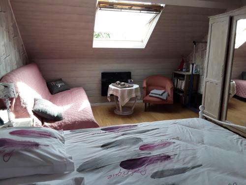
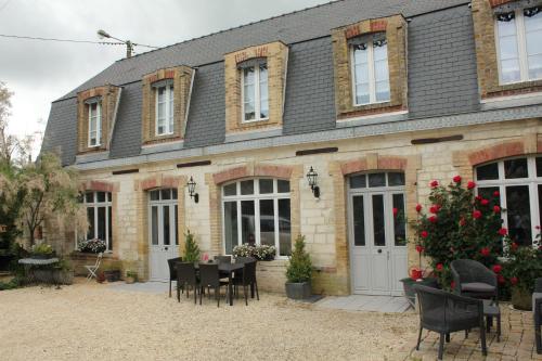
Guest accommodation : La Filature
Located in Warmeriville, La Filature offers a garden and free WiFi. With a terrace, the property also has a shared lounge. Guests can have a drink at the bar. At the guest hous...
Price : from 60.00 €
to 95.00 €
Contact : 12 Rue des Censes 51110 Warmeriville
Distance Guest accommodation - Rethel : 20.50 km
|
|
|
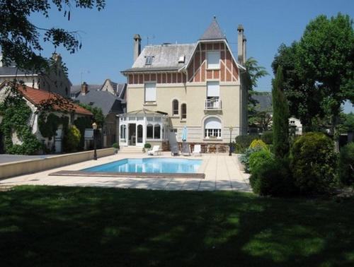
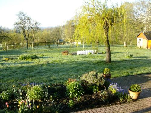
Bed and Breakfast : Le Pavillon de Nathalie
Set on a 3500 m² garden, Le Pavillon de Nathalie is in the centre of Isles-sur-Suippe and 1 km from the A34 motorway. If offers a swimming pool, a children’s playground and fre...
Prices : from 95.00 €
to 210.00 €
Contact : 25 route de Rethel 51110 Isles-sur-Suippe
Distance Bed and Breakfast - Rethel : 20.77 km
|
|
|
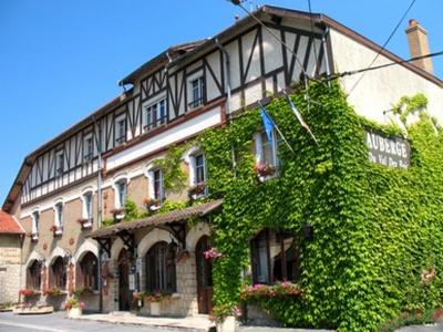
Hotel : Auberge du Val des Bois
The Val des Bois, set in the Champagne-Ardenne region, is a 2-star hotel full of character. It features a half-timbered exterior with window flower boxes, and a cottage-style in...
Rate : from 50.00 €
to 96.00 €
Contact : 3 rue du 8 mai 1945 51110 Warmeriville
Distance Hotel - Rethel : 20.95 km
|
|
|
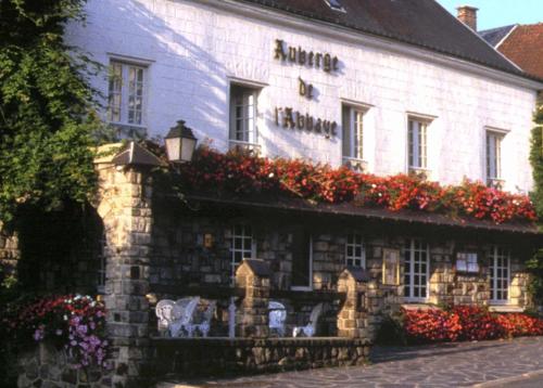
Hotel : Auberge De L'abbaye
Auberge de L'Abbaye is situated in the valley in the Ardennes Region. This former monastic site offers individually decorated rooms are en suite with free Wi-Fi internet access....
Price : from 67.00 €
to 88.00 €
Address : 2 Place Aristide Briand 08460 Signy-lʼAbbaye
Distance Hotel - Rethel : 21.24 km
|
|
|
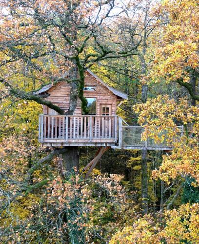
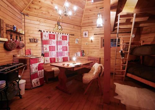
Bed and Breakfast : Le Chêne Perché
Le Chêne Perché offers atypical accommodation in tree houses located in Signy-l’Abbaye, 49 km from Bouillon. Each furnished cabin is lit by candles and lamps and has a space he...
Contact : La Vénerie 08460 Signy-lʼAbbaye
Distance Bed and Breakfast - Rethel : 21.73 km
|
|
|
Guest accommodation : La Cab'Ane
Situated in Saint-Jean-aux-Bois in the Champagne - Ardenne region, La Cab'Ane has a garden. Guests have a private terrace. The chalet offers a barbecue. La Cab'Ane features a c...
Contact : Route du Rit des Leups 08220 Saint-Jean-aux-Bois
Distance Guest accommodation - Rethel : 22.61 km
|
|
|
Guest accommodation : Gite Au Grenier Cosy
Set in Lor in the Picardy region, Gite Au Grenier Cosy has a terrace and garden views. Guests have a private balcony. The holiday home features 1 bedroom, a living room, and a ...
Price : from 95.00 €
to 100.00 €
Contact : 29 Rue Principale 02190 Lor
Distance Guest accommodation - Rethel : 22.92 km
|
|
|
Guest accommodation : Le Presbytère de Sévigny
Located in a white stone village, this former presbytery offers a garden, a shared living room, free Wi-Fi access in public areas, and a reception hall. The guest house is 40 km...
Prices : from 85.00 €
to 130.00 €
Address : 7 rue du Cabas 08220 Sévigny-Waleppe
Distance Guest accommodation - Rethel : 23.07 km
|
|
|
Bed and Breakfast : La Blanche Gelée
Set in Rocquigny, La Blanche Gelée offers free bikes, a garden and a barbecue. Featuring a terrace, the bed and breakfast is in an area where guests can engage in activities suc...
Rate : from 50.00 €
to 70.00 €
Contact : 1, la Blanche Gelée (Rocquigny) 08220 Rocquigny
Distance Bed and Breakfast - Rethel : 23.32 km
|
|
Find another hotel near Rethel : Rethel hotels list
|
Map of Rethel
|
|
Map of Rethel :
At right you can find the localization of Rethel on the map of France. Below, this is the satellite map of Rethel. A road map, and maps templates of Rethel are available here : "road map of Rethel". This map show Rethel seen by the satellite of Google Map. To see the streets of Rethel or move on another zone, use the buttons "zoom" and "map" on top of this dynamic map.
Search on the map of Rethel :
To search hotels, housings, tourist information office, administrations or other services, use the Google search integrated to the map on the following page : "map Rethel".
Hotels of Rethel are listed on the map with the following icons: 
The map of Rethel is centred in the following coordinates :
|

|
|
|
|
Print the map of Rethel

Print the map of Rethel : map of Rethel
|
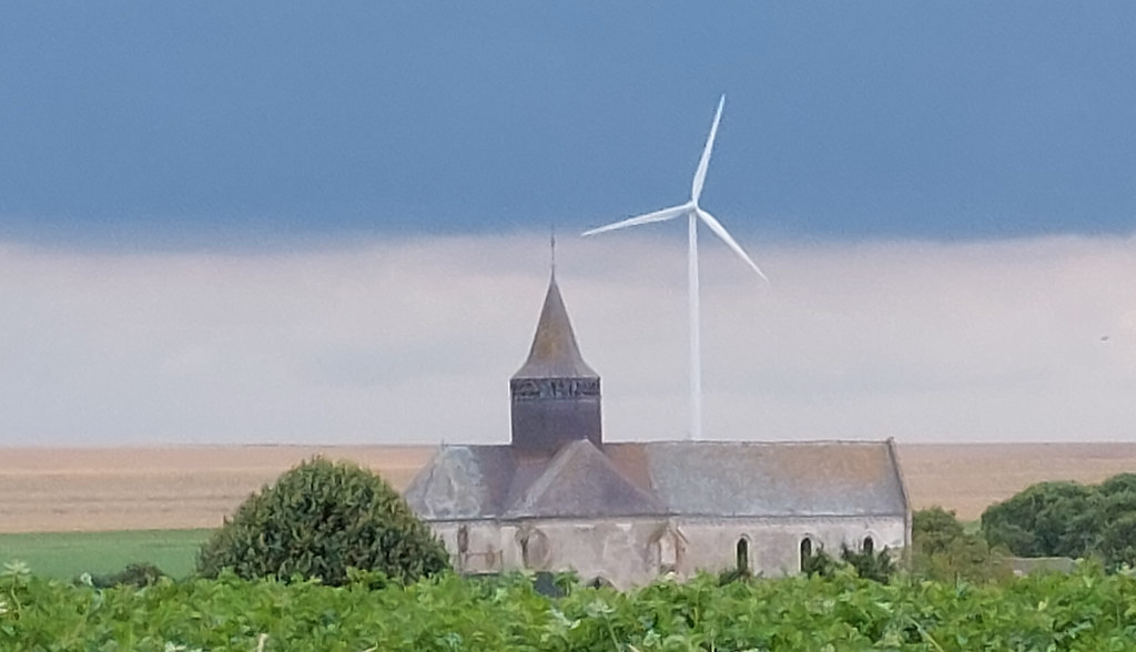
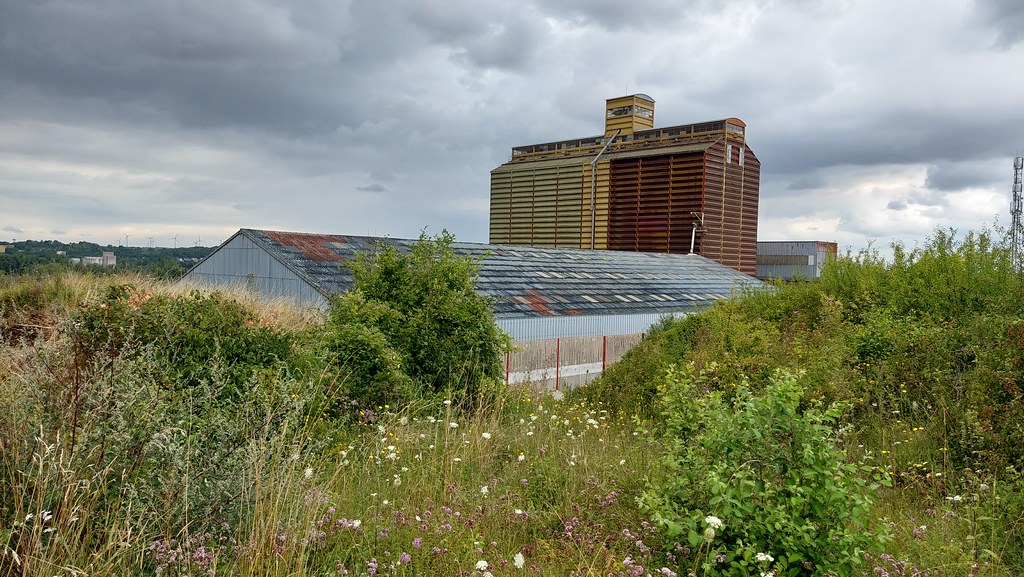
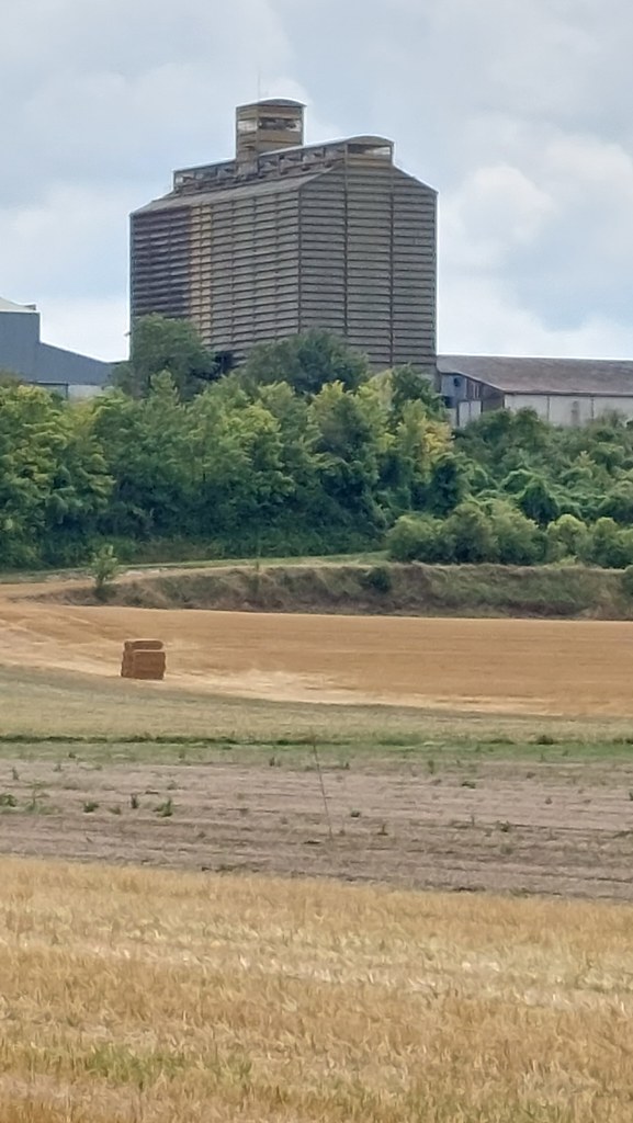
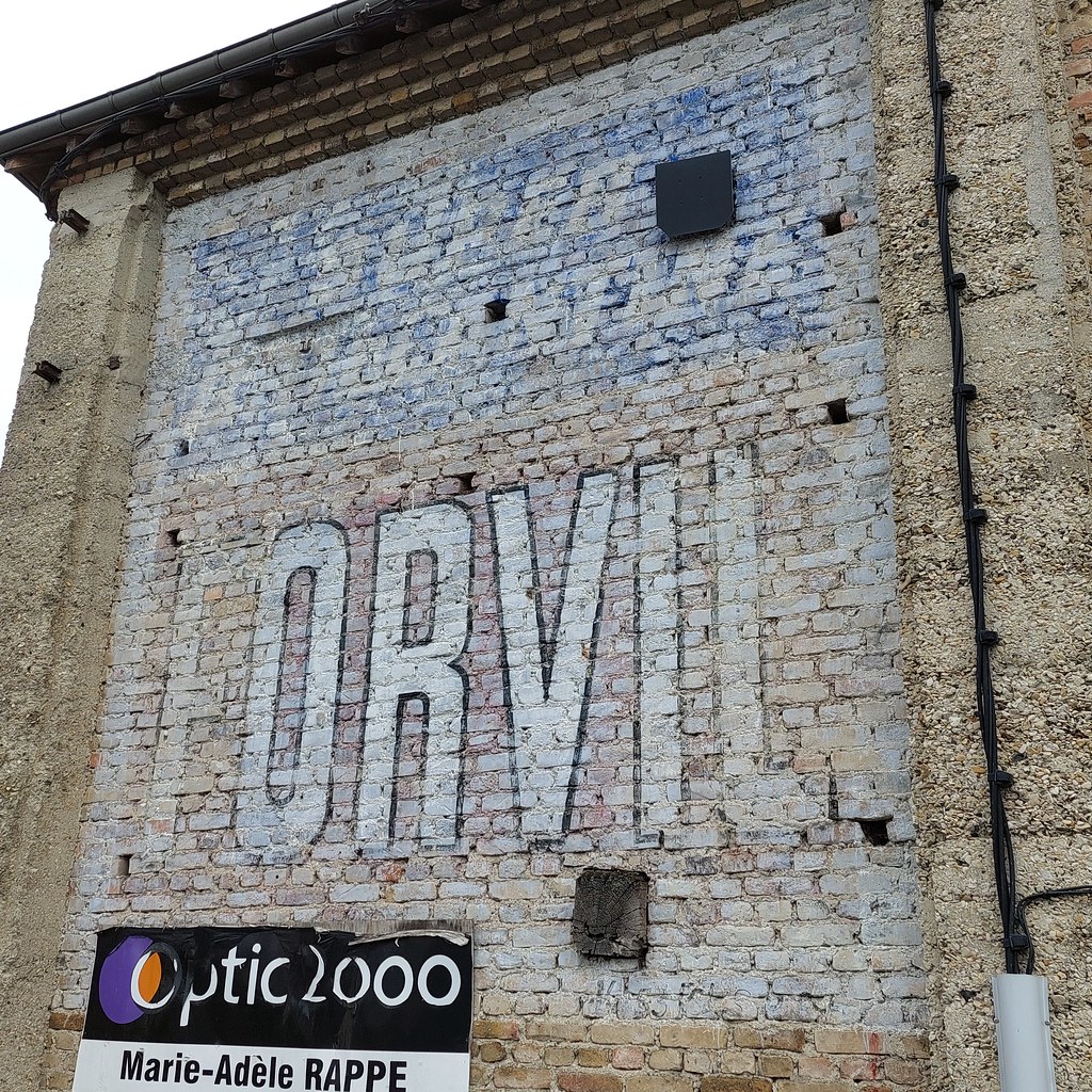
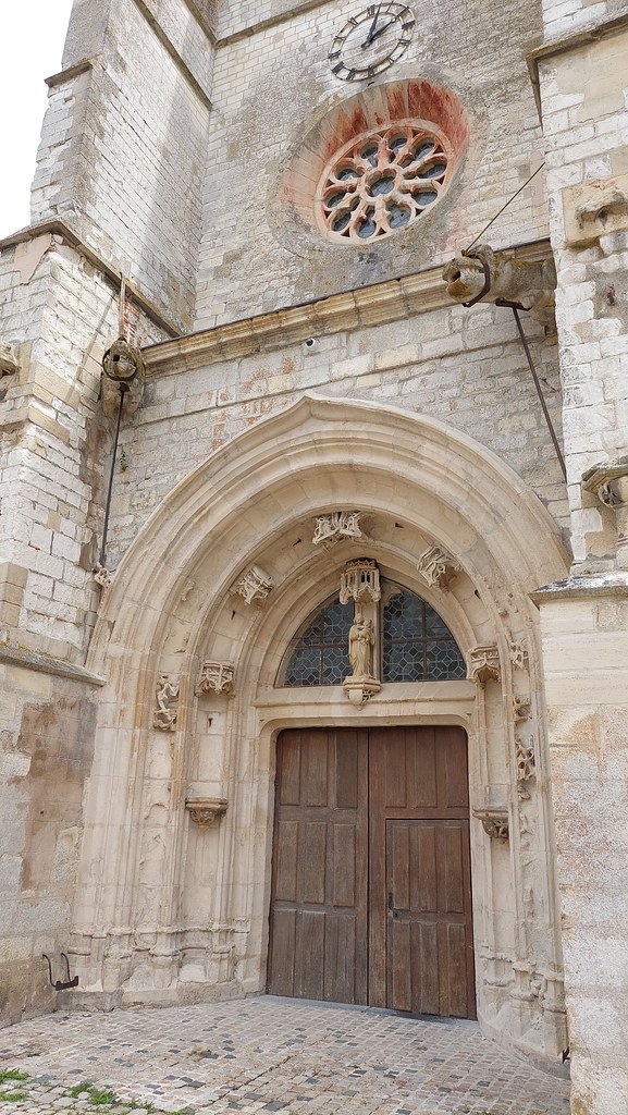
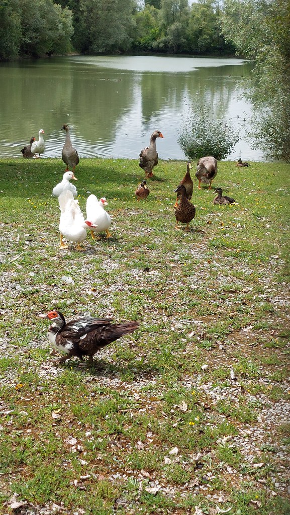
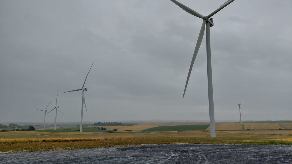
Photos Rethel
|
See all photos of Rethel :
Other photos of Rethel and nearby towns can be found here: photos Rethel
|
|
Rethel weather forecast
Find next hours and 7 days weather forecast for Rethel here : weather Rethel (with english metrics)
This is the last weather forecast for Rethel collected by the nearest observation station of Rethel.
Week Forecast:
The latest weather data for Rethel were collected Tuesday, 23 April 2024 at 06:00 from the nearest observation station of Rethel.
| Tuesday, April 23rd |
11°C -0°C
8%
68%
|
Partly cloudy
Temperature Max: 11°C Temperature Min: -0°C
Precipitation Probability: 8% (Rain)
Percentage of sky occluded by clouds: 68%
Wind speed: 10 km/h South
Humidity: 63%° UV Index: 3
Sunrise: 06:34 Sunset: 20:48 |
|
| | Wednesday, April 24th |
9°C 3°C
40%
80%
|
Mostly cloudy
Temperature Max: 9°C Temperature Min: 3°C
Precipitation Probability: 40% (Rain)
Percentage of sky occluded by clouds: 80%
Wind speed: 20 km/h South-East
Humidity: 72%° UV Index: 3
Sunrise: 06:32 Sunset: 20:50 |
|
| | Thursday, April 25th |
11°C 0°C
24%
82%
|
Mostly cloudy
Temperature Max: 11°C Temperature Min: 0°C
Precipitation Probability: 24% (Rain)
Percentage of sky occluded by clouds: 82%
Wind speed: 12 km/h North-East
Humidity: 68%° UV Index: 3
Sunrise: 06:30 Sunset: 20:51 |
|
| | Friday, April 26th |
13°C 3°C
28%
74%
|
Mostly cloudy
Temperature Max: 13°C Temperature Min: 3°C
Precipitation Probability: 28% (Rain)
Percentage of sky occluded by clouds: 74%
Wind speed: 13 km/h North
Humidity: 68%° UV Index: 3
Sunrise: 06:28 Sunset: 20:53 |
|
|
Attribution: 
|
|
Other maps, hotels and towns in france
Find another town, zip code, department, region, ...
Quick links Rethel :
Make a link to this page of Rethel with the following code :
|
|
|
 French Version : http://www.cartesfrance.fr/carte-france-ville/08362_Rethel.html