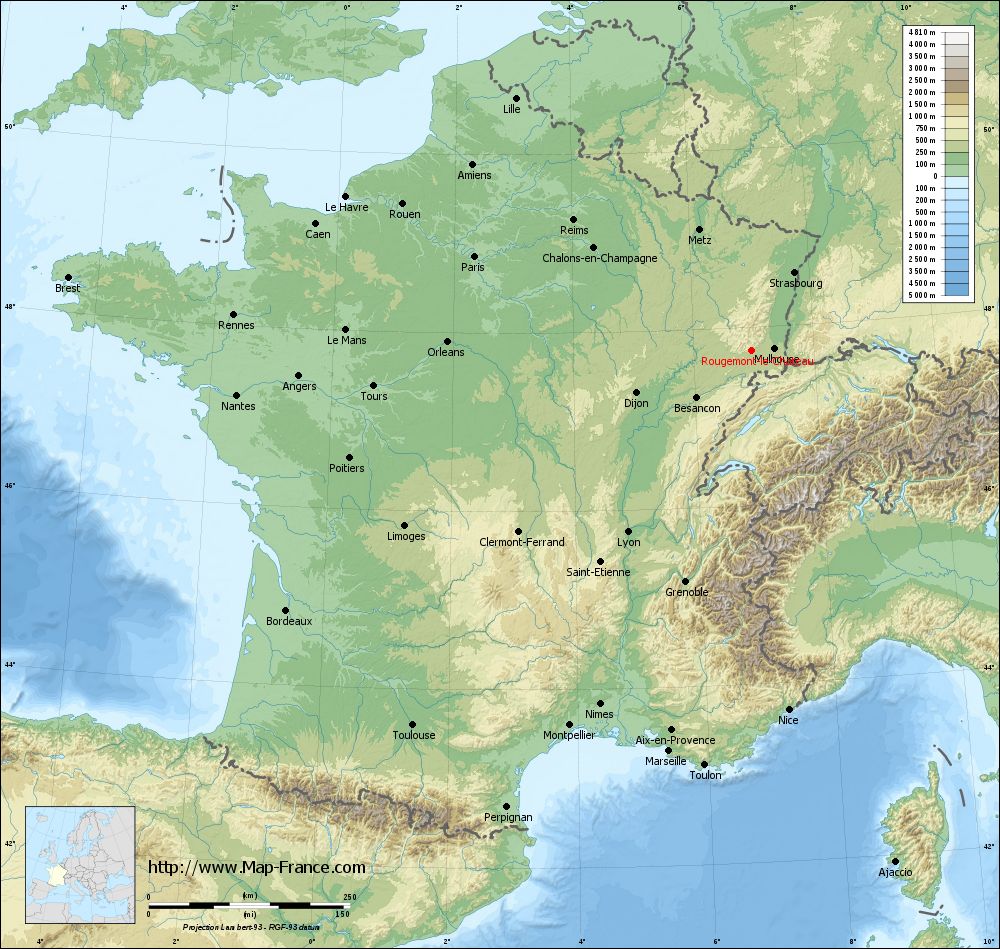
Rougemont-le-Château on the relief France map in Lambert 93 coordinates
|
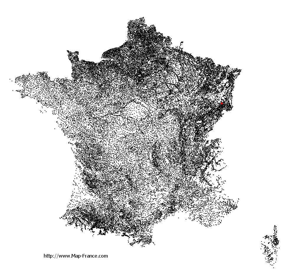
See the map of Rougemont-le-Château in full screen (1000 x 949)
|
At left, here is the location of Rougemont-le-Château on the relief France map in Lambert 93 coordinates.
Here are the altitudes of Rougemont-le-Château :
- Town hall altitude of Rougemont-le-Château is 450 meters
- Minimum altitude of Rougemont-le-Château is 422 meters
- Maximum altitude of Rougemont-le-Château is 1 031 meters
- Medium altitude of Rougemont-le-Château is 727 meters
Here are the altitudes of Belfort, prefecture of Territoire de Belfort department:
- Town hall altitude of Belfort is 361 meters
- Minimum altitude of Belfort is 354 meters
- Maximum altitude of Belfort is 650 meters
- Medium altitude of Belfort is 502 meters
Here are the altitudes of the french biggest cities:
Paris : 33 meters
Marseille : 20 meters
Lyon : 237 meters
Toulouse : 146 meters
Nice : 10 meters
Nantes : 20 meters
Strasbourg : 144 meters
Montpellier : 35 meters
Bordeaux : 16 meters
Lille : 20 meters
Rennes : 35 meters
Reims : 83 meters
Click here for the terrain map of Rougemont-le-Château in full screen:
Relief map of Rougemont-le-Château
|
This relief map of Rougemont-le-Château is reusable and modifiable by making a link to this page of the Map-France.com website or by using the given code :
|
Terrain base map of Rougemont-le-Château
|

See the terrain base map of Rougemont-le-Château in full screen (1000 x 949)
|
Small relief base map of Rougemont-le-Château

|
This base map of Rougemont-le-Château is reusable and modifiable by making a link to this page of the Map-France.com website or by using the given code :
|
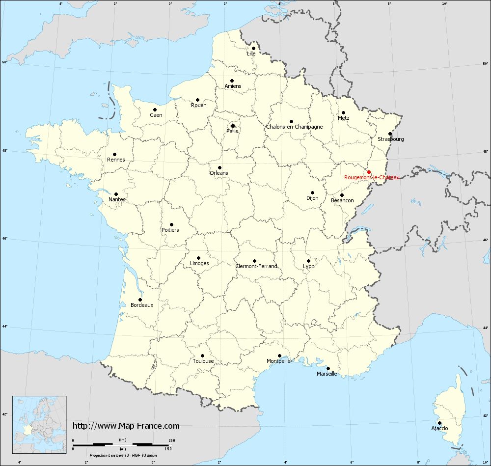
Map of Rougemont-le-Château with regions and prefectures
|
View the map of Rougemont-le-Château in full screen (1000 x 949)
|
You will find the location of Rougemont-le-Château on the map of France of regions in Lambert 93 coordinates. The town of Rougemont-le-Château is located in the department of Territoire de Belfort of the french region Franche-Comté.
Geographical sexagesimal coordinates / GPS (WGS84):
Latitude: 47° 44' 08'' North
Longitude: 06° 58' 02'' East
Geographical decimal coordinates :
Latitude: 47.736 degrees (47.736° North)
Longitude: 6.967 degrees (6.967° East)
Lambert 93 coordinates :
X: 9 972 hectometers
Y: 67 447 hectometers
Lambert 2 coordinates :
X: 9 471 hectometers
Y: 23 142 hectometers
Below, the geographical coordinates of Belfort, prefecture of the Territoire de Belfort department:
Geographical sexagesimal coordinates / GPS (WGS84):
Latitude: 47° 38' 28'' North
Longitude: 06° 50' 58'' East
Geographical decimal coordinates :
Latitude: 47.642 degrees (47.642° North)
Longitude: 6.856 degrees (6.856° East)
Lambert 93 coordinates :
X: 9 889 hectometers
Y: 67 338 hectometers
Lambert 2 coordinates :
X: 9 389 hectometers
Y: 23 032 hectometers
|
This map of Rougemont-le-Château is reusable and modifiable by making a link to this page of the Map-France.com website or by using the given code :
|
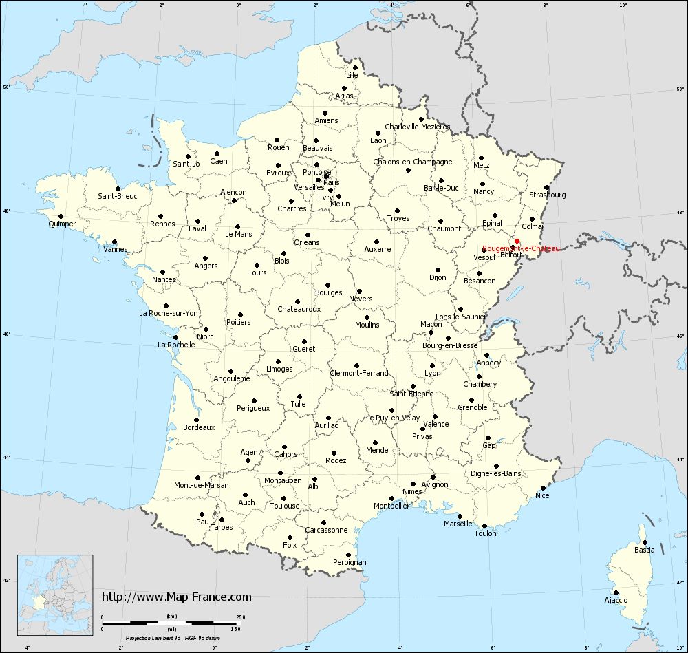
Map of Rougemont-le-Château with departments and prefectures
|
Voir la carte of Rougemont-le-Château en grand format (1000 x 949)
|
Here is the localization of Rougemont-le-Château on the France map of departments in Lambert 93 coordinates. The city of Rougemont-le-Château is shown on the map by a red point.
The town of Rougemont-le-Château is located in the department of Territoire de Belfort of the french region Franche-Comté.
The latitude of Rougemont-le-Château is 47.736 degrees North.
The longitude of Rougemont-le-Château is 6.967 degrees East.
Here the distance between Rougemont-le-Château and the biggest cities of France:
Distances are calculated as the crow flies (orthodromic distance)
Distance between Rougemont-le-Château and Paris : 363.65 kilometers
Distance between Rougemont-le-Château and Marseille : 507.95 kilometers
Distance between Rougemont-le-Château and Lyon : 272.99 kilometers
Distance between Rougemont-le-Château and Toulouse : 627.85 kilometers
Distance between Rougemont-le-Château and Nice : 448.28 kilometers
Distance between Rougemont-le-Château and Nantes : 642.11 kilometers
Distance between Rougemont-le-Château and Strasbourg : 110.96 kilometers
Distance between Rougemont-le-Château and Montpellier : 517.46 kilometers
Distance between Rougemont-le-Château and Bordeaux : 661.83 kilometers
Distance between Rougemont-le-Château and Lille : 429.32 kilometers
Distance between Rougemont-le-Château and Rennes : 644.84 kilometers
Distance between Rougemont-le-Château and Reims : 274.42 kilometers
Clic here to see the map of Rougemont-le-Château in full screen:
Rougemont-le-Château on the map of french departments
|
This administrative map of Rougemont-le-Château is reusable and modifiable by making a link to this page of the Map-France.com website or by using the given code :
|
Administrative base maps of Rougemont-le-Château
|

See the administrative base map of Rougemont-le-Château in full screen (1000 x 949)
|
Small administrative base map of Rougemont-le-Château

|
This base map administrative of Rougemont-le-Château is reusable and modifiable by making a link to this page of the Map-France.com website or by using the given code :
|
 French Version : http://www.cartesfrance.fr