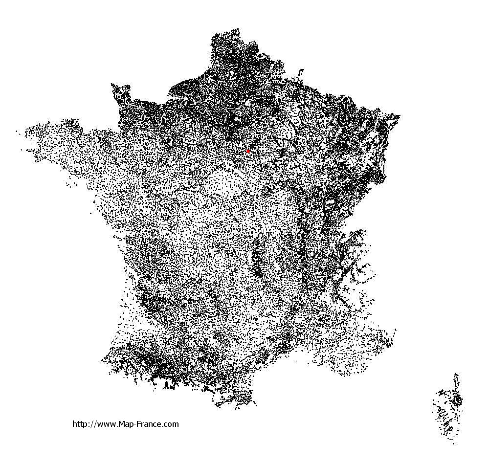
Saint-Ange-le-Viel on the relief France map in Lambert 93 coordinates
|

See the map of Saint-Ange-le-Viel in full screen (1000 x 949)
|
At left, here is the location of Saint-Ange-le-Viel on the relief France map in Lambert 93 coordinates.
Here are the altitudes of Saint-Ange-le-Viel :
- Town hall altitude of Saint-Ange-le-Viel is 130 meters
- Minimum altitude of Saint-Ange-le-Viel is 92 meters
- Maximum altitude of Saint-Ange-le-Viel is 143 meters
- Medium altitude of Saint-Ange-le-Viel is 118 meters
Here are the altitudes of Melun, prefecture of Seine-et-Marne department:
- Town hall altitude of Melun is 50 meters
- Minimum altitude of Melun is 37 meters
- Maximum altitude of Melun is 102 meters
- Medium altitude of Melun is 70 meters
Here are the altitudes of the french biggest cities:
Paris : 33 meters
Marseille : 20 meters
Lyon : 237 meters
Toulouse : 146 meters
Nice : 10 meters
Nantes : 20 meters
Strasbourg : 144 meters
Montpellier : 35 meters
Bordeaux : 16 meters
Lille : 20 meters
Rennes : 35 meters
Reims : 83 meters
Click here for the terrain map of Saint-Ange-le-Viel in full screen:
Relief map of Saint-Ange-le-Viel
|
This relief map of Saint-Ange-le-Viel is reusable and modifiable by making a link to this page of the Map-France.com website or by using the given code :
|
Terrain base map of Saint-Ange-le-Viel
|

See the terrain base map of Saint-Ange-le-Viel in full screen (1000 x 949)
|
Small relief base map of Saint-Ange-le-Viel

|
This base map of Saint-Ange-le-Viel is reusable and modifiable by making a link to this page of the Map-France.com website or by using the given code :
|
Map of Saint-Ange-le-Viel with regions and prefectures
|
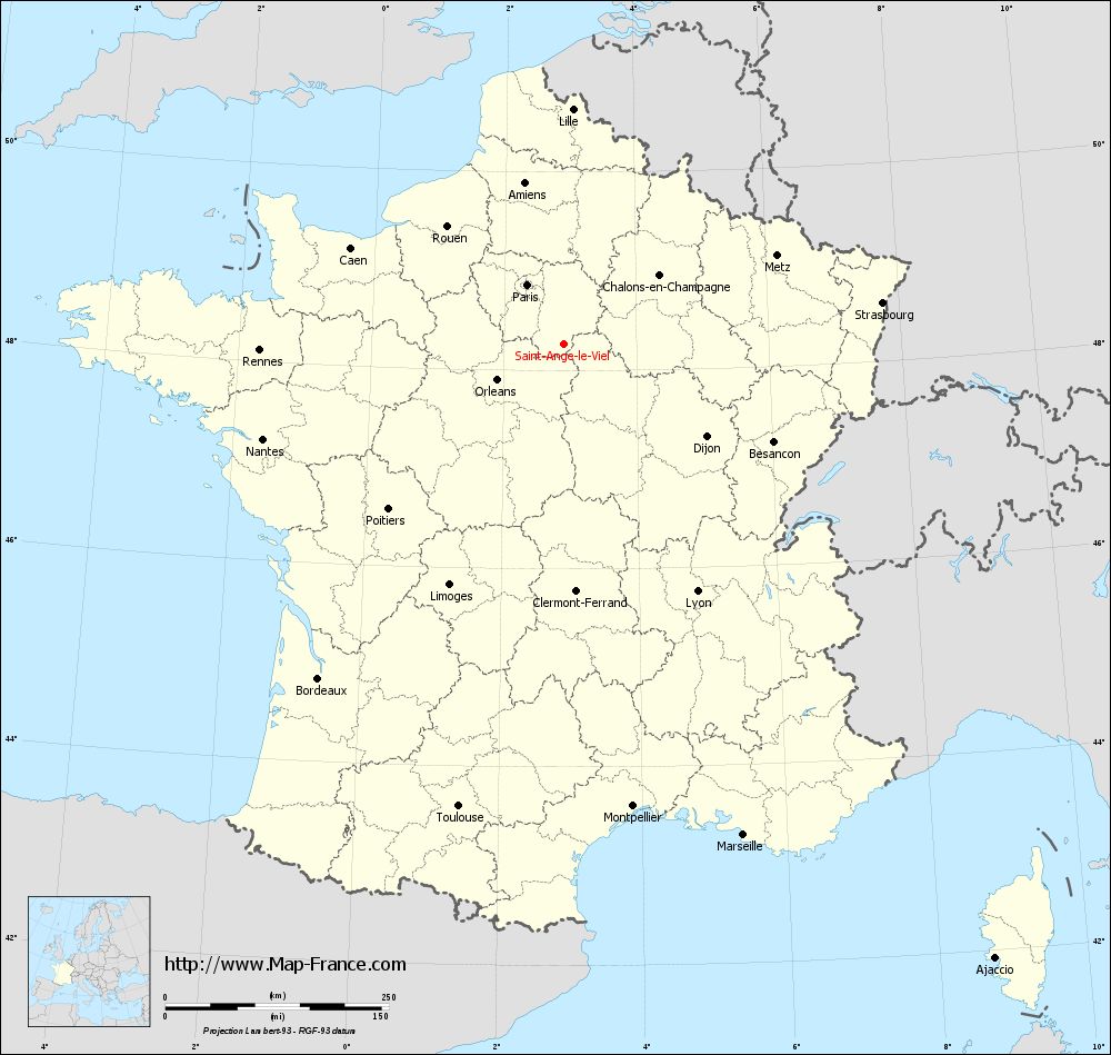
View the map of Saint-Ange-le-Viel in full screen (1000 x 949)
|
You will find the location of Saint-Ange-le-Viel on the map of France of regions in Lambert 93 coordinates. The town of Saint-Ange-le-Viel is located in the department of Seine-et-Marne of the french region Île-de-France.
Geographical sexagesimal coordinates / GPS (WGS84):
Latitude: 48° 15' 56'' North
Longitude: 02° 54' 04'' East
Geographical decimal coordinates :
Latitude: 48.263 degrees (48.263° North)
Longitude: 2.902 degrees (2.902° East)
Lambert 93 coordinates :
X: 6 927 hectometers
Y: 67 961 hectometers
Lambert 2 coordinates :
X: 6 419 hectometers
Y: 23 631 hectometers
Below, the geographical coordinates of Melun, prefecture of the Seine-et-Marne department:
Geographical sexagesimal coordinates / GPS (WGS84):
Latitude: 48° 32' 23'' North
Longitude: 02° 39' 33'' East
Geographical decimal coordinates :
Latitude: 48.541 degrees (48.541° North)
Longitude: 2.657 degrees (2.657° East)
Lambert 93 coordinates :
X: 6 748 hectometers
Y: 68 267 hectometers
Lambert 2 coordinates :
X: 6 238 hectometers
Y: 23 935 hectometers
|
This map of Saint-Ange-le-Viel is reusable and modifiable by making a link to this page of the Map-France.com website or by using the given code :
|
Map of Saint-Ange-le-Viel with departments and prefectures
|
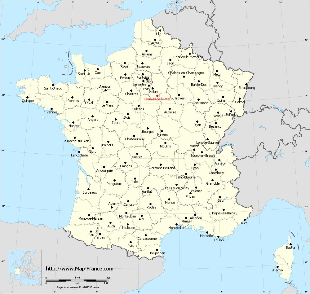
Voir la carte of Saint-Ange-le-Viel en grand format (1000 x 949)
|
Here is the localization of Saint-Ange-le-Viel on the France map of departments in Lambert 93 coordinates. The city of Saint-Ange-le-Viel is shown on the map by a red point.
The town of Saint-Ange-le-Viel is located in the department of Seine-et-Marne of the french region Île-de-France.
The latitude of Saint-Ange-le-Viel is 48.263 degrees North.
The longitude of Saint-Ange-le-Viel is 2.902 degrees East.
Here the distance between Saint-Ange-le-Viel and the biggest cities of France:
Distances are calculated as the crow flies (orthodromic distance)
Distance between Saint-Ange-le-Viel and Paris : 78.04 kilometers
Distance between Saint-Ange-le-Viel and Marseille : 584.54 kilometers
Distance between Saint-Ange-le-Viel and Lyon : 314.25 kilometers
Distance between Saint-Ange-le-Viel and Toulouse : 530.05 kilometers
Distance between Saint-Ange-le-Viel and Nice : 607.72 kilometers
Distance between Saint-Ange-le-Viel and Nantes : 352.52 kilometers
Distance between Saint-Ange-le-Viel and Strasbourg : 359.56 kilometers
Distance between Saint-Ange-le-Viel and Montpellier : 522.49 kilometers
Distance between Saint-Ange-le-Viel and Bordeaux : 463.53 kilometers
Distance between Saint-Ange-le-Viel and Lille : 263.00 kilometers
Distance between Saint-Ange-le-Viel and Rennes : 339.86 kilometers
Distance between Saint-Ange-le-Viel and Reims : 138.07 kilometers
Clic here to see the map of Saint-Ange-le-Viel in full screen:
Saint-Ange-le-Viel on the map of french departments
|
This administrative map of Saint-Ange-le-Viel is reusable and modifiable by making a link to this page of the Map-France.com website or by using the given code :
|
Administrative base maps of Saint-Ange-le-Viel
|

See the administrative base map of Saint-Ange-le-Viel in full screen (1000 x 949)
|
Small administrative base map of Saint-Ange-le-Viel
|
This base map administrative of Saint-Ange-le-Viel is reusable and modifiable by making a link to this page of the Map-France.com website or by using the given code :
|
 French Version : http://www.cartesfrance.fr