|
The village of Saint-Arey is a small village located south east of France. The town of Saint-Arey is located in the department of Isère of the french region Rhône-Alpes. The town of Saint-Arey is located in the township of La Mure part of the district of Grenoble. The area code for Saint-Arey is 38361 (also known as code INSEE), and the Saint-Arey zip code is 38350.
Geography and map of Saint-Arey :
The altitude of the city hall of Saint-Arey is approximately 650 meters. The Saint-Arey surface is 6.67 km ². The latitude and longitude of Saint-Arey are 44.871 degrees North and 5.732 degrees East.
Nearby cities and towns of Saint-Arey are :
Mayres-Savel (38350) at 1.01 km, Saint-Jean-d'Hérans (38710) at 2.94 km, Prunières (38350) at 3.54 km, Cognet (38350) at 3.68 km, Cornillon-en-Trièves (38710) at 4.42 km, Lavars (38710) at 5.45 km, Ponsonnas (38350) at 5.54 km, La Mure (38350) at 5.72 km.
(The distances to these nearby towns of Saint-Arey are calculated as the crow flies)
Population and housing of Saint-Arey :
The population of Saint-Arey was 56 in 1999, 77 in 2006 and 78 in 2007. The population density of Saint-Arey is 11.69 inhabitants per km². The number of housing of Saint-Arey was 52 in 2007. These homes of Saint-Arey consist of 33 main residences, 19 second or occasional homes and 1 vacant homes. |
|
|
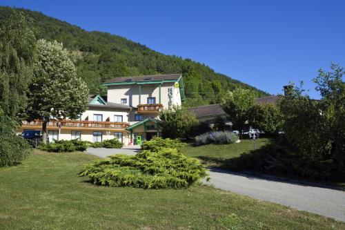
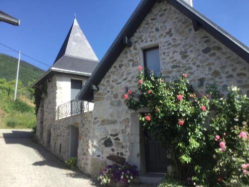
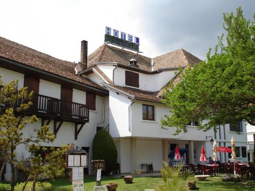
Hotel Saint-Arey
|
|
|
Book now ! Best Price Guaranteed, no booking fees, pay at the hotel with our partner Booking.com, leader in online hotel reservation.
Find all hotels of Saint-Arey : Hotel Saint-Arey
| |
|
On the Napoleon Road, in the heart of the lush Matheysin Plateau, Logis Murtel offers comfortable 2-star accommodation in a peaceful and relaxing setting. The hotel presents th...
Rate : from 68.25 €
to 122.85 €
Address : boulevard Fréjus Michon, Coteau de Beauregard 38350 La Mure
Distance Hotel - Saint-Arey : 5.61 km
|
|
|
Hotel : Auberge de Mens
Located in the centre of Mens, this hotel is 7 km from Vercours Regional Park. It offers free Wi-Fi access, a terrace and en suite accommodation. All rooms at Auberge de Mens f...
Price : from 58.00 €
to 74.00 €
Contact : Rue du Breuil 38710 Mens
Distance Hotel - Saint-Arey : 6.11 km
|
|
|
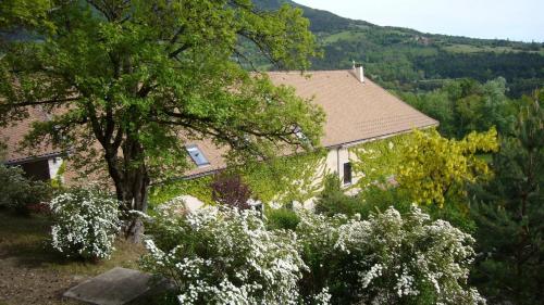
Guest accommodation : Le Crey
Situated 7 km from Les Signaraux – La Motte d'Aveillans in La Motte-dʼAveillans, Le Crey offers accommodation with a kitchen. This property offers access to a terrace. The holi...
Contact : 38350 La Motte-dʼAveillans
Distance Guest accommodation - Saint-Arey : 8.12 km
|
|
|
Guest accommodation : La Ferme de Marthe

Boasting a garden, La Ferme de Marthe provides accommodation in Saint-Baudille-et-Pipet with free WiFi and garden views. Guests staying at this holiday home have access to a ful...
Contact : Les Boutins 38710 Saint-Baudille-et-Pipet
Distance Guest accommodation - Saint-Arey : 9.01 km
|
|
|
Guest accommodation : Camping Le Champ Long
Offering an outdoor pool, a restaurant and panoramic views on the Obiou Mountain, Camping Le Champ Long is located in La Salle-en-Beaumont. WiFi access is available in this camp...
Address : 1 rue du chateau 38350 La Salle-en-Beaumont
Distance Guest accommodation - Saint-Arey : 9.24 km
|
|
|
Bed and Breakfast : Chez nicole
Chez nicole provides accommodation with a garden and free WiFi. Some units also have a kitchenette equipped with a toaster. A continental breakfast is served daily at the prop...
Prices : from 90.00 €
to 130.00 €
Contact : La salle en beaumont Les martins 38350 La Salle-en-Beaumont
Distance Bed and Breakfast - Saint-Arey : 9.52 km
|
|
|
Guest accommodation : Auberge du Goutarou
Offering a terrace and views of the mountain, Auberge du Goutarou is located in Saint-Michel-les-Portes, 45 km from Les Deux Alpes. Free WiFi is featured throughout the property...
Rate : from 75.00 €
to 120.00 €
Contact : Lieu-dit Les Granges Auberge du Goutarou 38650 Saint-Michel-les-Portes
Distance Guest accommodation - Saint-Arey : 10.14 km
|
|
|
Hotel : Les Aveilles
Located in La Motte-d’Aveillans, Les Aveilles is 3 km from Les Signaraux Ski Area and 2 km from the train station. It offers an indoor swimming pool, free WiFi in public areas a...
Price : from 42.00 €
to 102.00 €
Contact : 9 rue des Georges 38770 La Motte-dʼAveillans
Distance Hotel - Saint-Arey : 10.28 km
|
|
|
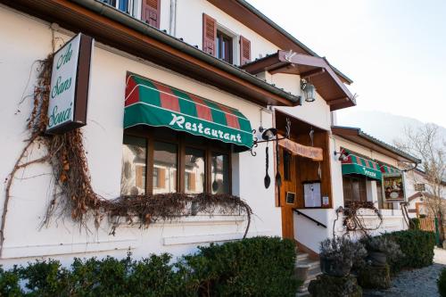
Hotel : Au Sans Souci
Au Sans Souci is set in Saint-Paul-lès-Monestier and features a seasonal outdoor swimming pool. The property has a bar, as well as a restaurant serving French cuisine. Both free...
Prices : from 56.00 €
to 76.00 €
Address : le bourg st paul les monestiers 38650 Saint-Paul-lès-Monestier
Distance Hotel - Saint-Arey : 10.58 km
|
|
|
Hotel : Hotel Restaurant Le Traineau (Ancien Ferrat)
Located at the foot of Mont Aiguille, Hotel Restaurant Ferrat offers a traditional-style restaurant and a large terrace. Guests can enjoy a drink on site or relax in the commun...
Rate : from 62.00 €
Contact : La Gare 38930 Clelles
Distance Hotel - Saint-Arey : 12.00 km
|
|
Find another hotel near Saint-Arey : Saint-Arey hotels list
|
Map of Saint-Arey
|
|
Map of Saint-Arey :
At right you can find the localization of Saint-Arey on the map of France. Below, this is the satellite map of Saint-Arey. A road map, and maps templates of Saint-Arey are available here : "road map of Saint-Arey". This map show Saint-Arey seen by the satellite of Google Map. To see the streets of Saint-Arey or move on another zone, use the buttons "zoom" and "map" on top of this dynamic map.
Search on the map of Saint-Arey :
To search hotels, housings, tourist information office, administrations or other services, use the Google search integrated to the map on the following page : "map Saint-Arey".
Hotels of Saint-Arey are listed on the map with the following icons: 
The map of Saint-Arey is centred in the following coordinates :
|

|
|
|
|
Print the map of Saint-Arey

Print the map of Saint-Arey : map of Saint-Arey
|
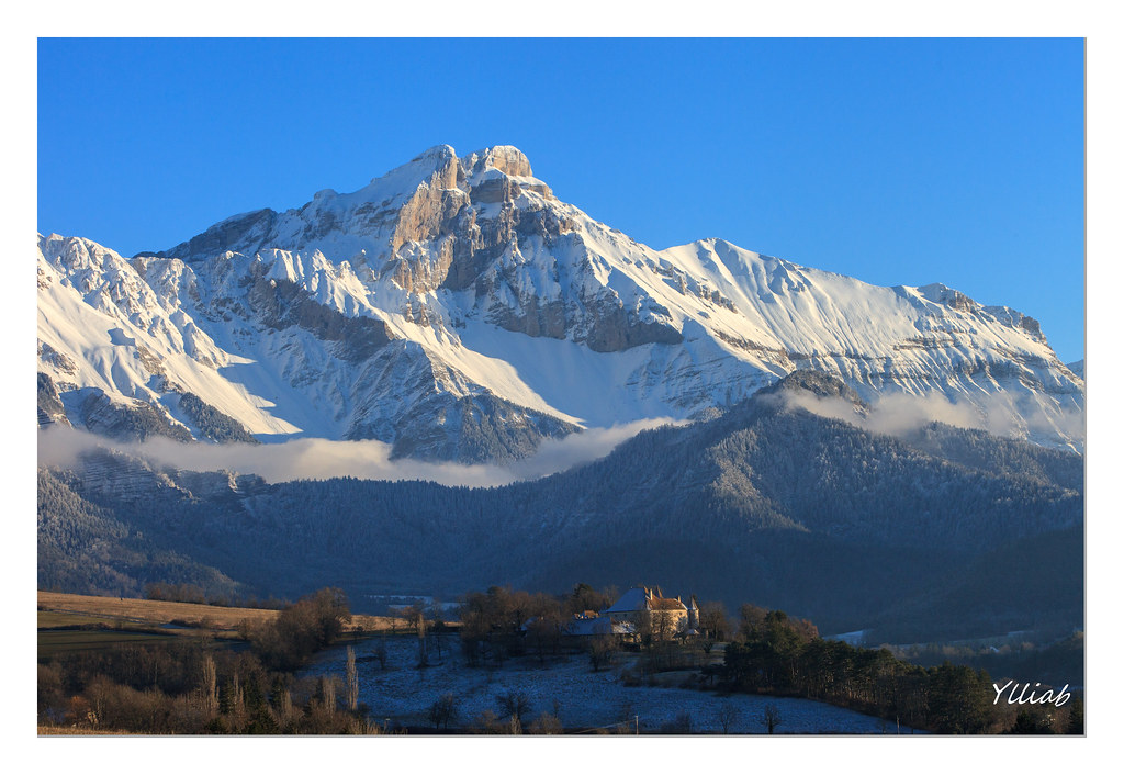
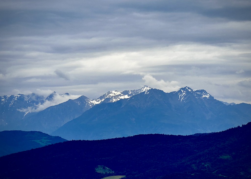
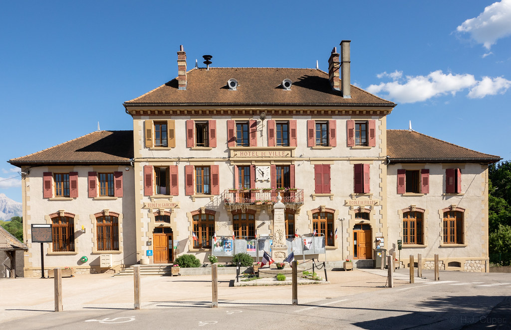
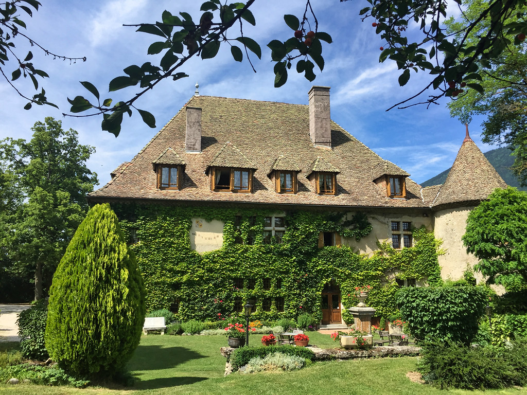
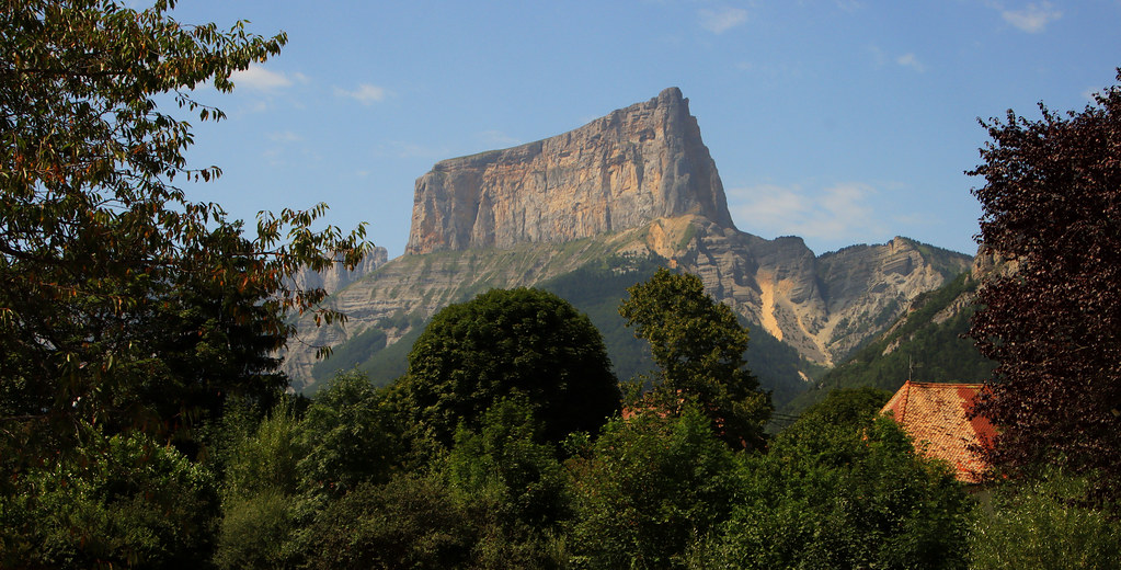
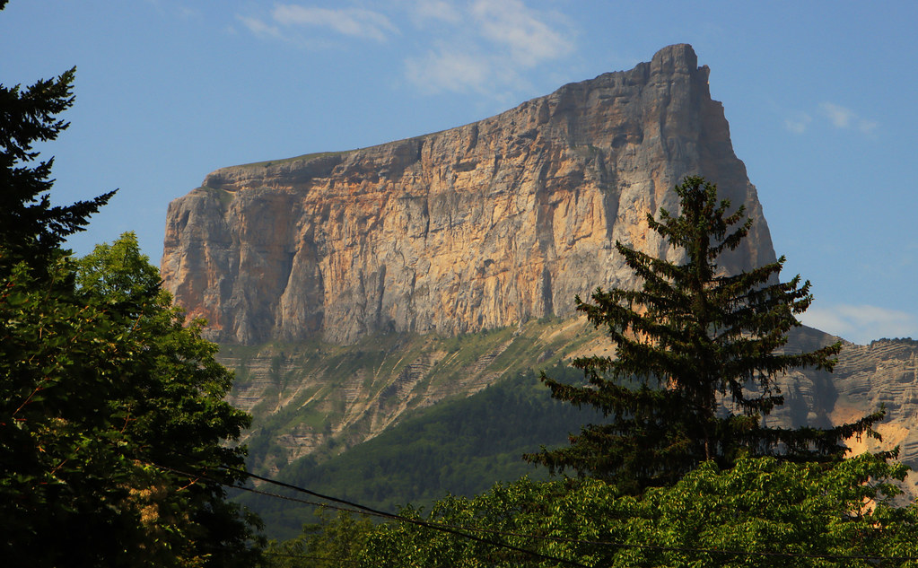
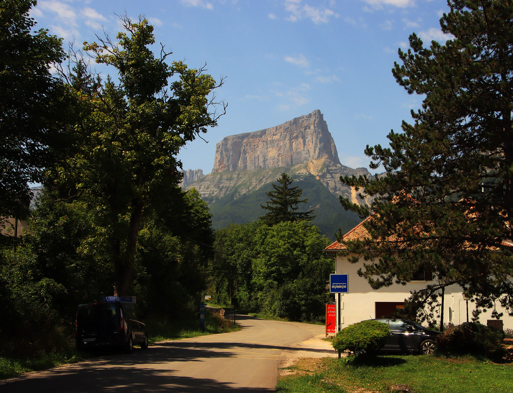
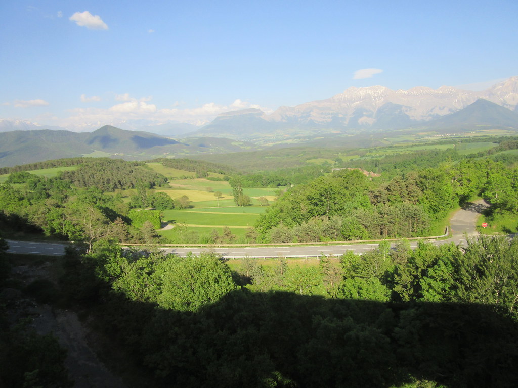
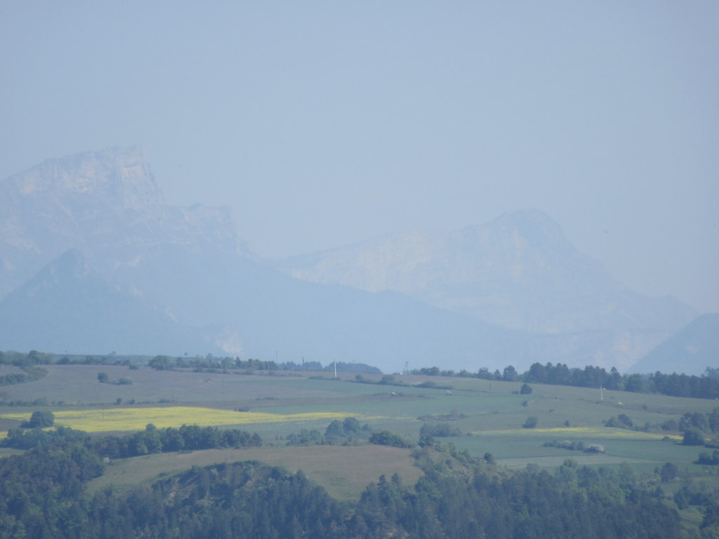
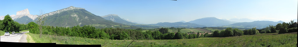
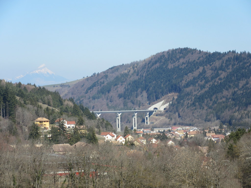
Photos Saint-Arey
|
See all photos of Saint-Arey :
Other photos of Saint-Arey and nearby towns can be found here: photos Saint-Arey
|
|
Saint-Arey weather forecast
Find next hours and 7 days weather forecast for Saint-Arey here : weather Saint-Arey (with english metrics)
This is the last weather forecast for Saint-Arey collected by the nearest observation station of La Mure.
Week Forecast:
The latest weather data for Saint-Arey were collected Thursday, 25 April 2024 at 17:00 from the nearest observation station of La Mure.
| Thursday, April 25th |
10°C -2°C
15%
14%
|
Partly cloudy
Temperature Max: 10°C Temperature Min: -2°C
Precipitation Probability: 15% (Snow)
Percentage of sky occluded by clouds: 14%
Wind speed: 6 km/h South-East
Humidity: 53%° UV Index: 5
Sunrise: 06:35 Sunset: 20:35 |
|
| | Friday, April 26th |
9°C 2°C
48%
89%
|
Drizzle
Temperature Max: 9°C Temperature Min: 2°C
Precipitation Probability: 48% (Rain)
Percentage of sky occluded by clouds: 89%
Wind speed: 8 km/h North
Humidity: 69%° UV Index: 3
Sunrise: 06:33 Sunset: 20:36 |
|
| | Saturday, April 27th |
13°C 4°C
39%
81%
|
Mostly cloudy
Temperature Max: 13°C Temperature Min: 4°C
Precipitation Probability: 39% (Rain)
Percentage of sky occluded by clouds: 81%
Wind speed: 15 km/h North-West
Humidity: 54%° UV Index: 4
Sunrise: 06:32 Sunset: 20:37 |
|
| | Sunday, April 28th |
12°C 7°C
69%
93%
|
Rain
Temperature Max: 12°C Temperature Min: 7°C
Precipitation Probability: 69% (Rain)
Percentage of sky occluded by clouds: 93%
Wind speed: 8 km/h North-West
Humidity: 72%° UV Index: 4
Sunrise: 06:30 Sunset: 20:39 |
|
|
Attribution: 
|
|
Other maps, hotels and towns in france
Find another town, zip code, department, region, ...
Quick links Saint-Arey :
Make a link to this page of Saint-Arey with the following code :
|
|
|
 French Version : http://www.cartesfrance.fr/carte-france-ville/38361_Saint-Arey.html