|
The city of Saint-Ay is a small town located center of France. The city of Saint-Ay is located in the department of Loiret of the french region Centre. The city of Saint-Ay is located in the township of Meung-sur-Loire part of the district of Orléans. The area code for Saint-Ay is 45269 (also known as code INSEE), and the Saint-Ay zip code is 45130.
Geography and map of Saint-Ay :
The altitude of the city hall of Saint-Ay is approximately 100 meters. The Saint-Ay surface is 10.07 km ². The latitude and longitude of Saint-Ay are 47.859 degrees North and 1.755 degrees East.
Nearby cities and towns of Saint-Ay are :
Chaingy (45380) at 3.00 km, Mareau-aux-Prés (45370) at 3.65 km, Cléry-Saint-André (45370) at 4.25 km, Huisseau-sur-Mauves (45130) at 5.19 km, Saint-Hilaire-Saint-Mesmin (45160) at 5.64 km, Meung-sur-Loire (45130) at 5.79 km, Mézières-lez-Cléry (45370) at 5.93 km, La Chapelle-Saint-Mesmin (45380) at 6.92 km.
(The distances to these nearby towns of Saint-Ay are calculated as the crow flies)
Population and housing of Saint-Ay :
The population of Saint-Ay was 2 967 in 1999, 2 986 in 2006 and 3 022 in 2007. The population density of Saint-Ay is 300.10 inhabitants per km². The number of housing of Saint-Ay was 1 280 in 2007. These homes of Saint-Ay consist of 1 199 main residences, 29 second or occasional homes and 52 vacant homes. |
|
|
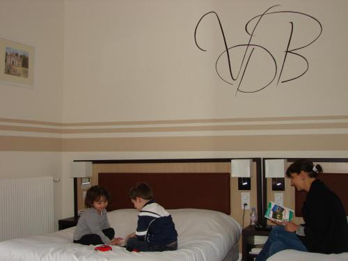
Hotel Saint-Ay
|
|
|
Book now ! Best Price Guaranteed, no booking fees, pay at the hotel with our partner Booking.com, leader in online hotel reservation.
Find all hotels of Saint-Ay : Hotel Saint-Ay
| |
|
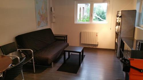
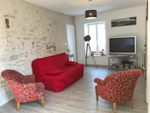
Apartment : Saint-Ay sur la route des châteaux
Situated in Saint-Ay, Saint-Ay sur la route des châteaux provides accommodation with free WiFi and seating area. Some units feature a dining area and/or a terrace. Orléans is ...
Rate : from 29.00 €
to 69.00 €
Address : Les groisons 78 Route d'Orléans 45130 Saint-Ay
Distance Apartment - Saint-Ay : 1.40 km
|
|
|
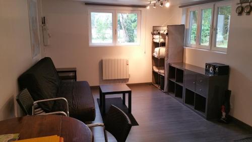
Apartment : Studio Route d'Orleans
Boasting barbecue facilities, Studio Route d'Orleans offers accommodation in Saint-Ay with free WiFi and garden views. Guests staying at this apartment have access to a fully eq...
Price : from 61.57 €
Contact : 78 Route d'Orleans 45130 Saint-Ay
Distance Apartment - Saint-Ay : 1.40 km
|
|
|
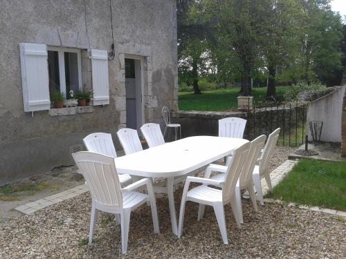
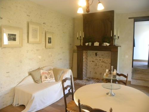
Guest accommodation : Clos de Bel Air

Clos de Bel Air is located in Meung-sur-Loire, 15 km from Orléans. It offers houses with free WiFi and terraces. Each of the houses at Clos de Bel Air has a fully equipped kitc...
Contact : Clos de Bel Air 45130 Meung-sur-Loire
Distance Guest accommodation - Saint-Ay : 2.42 km
|
|
|
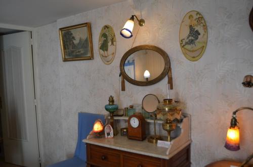
Guest accommodation : Gîte du Parc des Mauves
Featuring a terrace, Gîte du Parc des Mauves is a holiday home situated in Meung-sur-Loire, 3 km from Chateau de Meung sur Loire and the city centre. It provides free private pa...
Rate : from 45.00 €
to 70.00 €
Contact : 10 Route de la Batissière 45130 Meung-sur-Loire
Distance Guest accommodation - Saint-Ay : 4.19 km
|
|
|
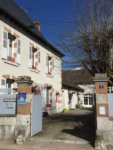
Bed and Breakfast : Le Clos Tilia
Le Clos Tilia offers B&B accommodation in Cléry-Saint-André, 16 km from Orléans. Free private parking is available on site. You will find a kettle and a private bathroom with a...
Address : 8 rue de Meung 45370 Cléry-Saint-André
Distance Bed and Breakfast - Saint-Ay : 4.25 km
|
|
|
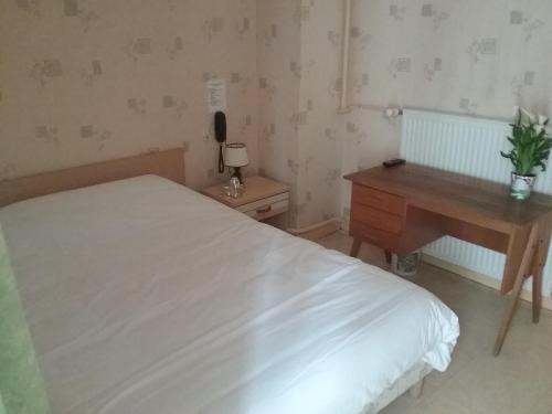
Hotel : Hotel Notre Dame

Situated in Cléry-Saint-André, Centre region, Hotel Notre Dame is located 100 metres from Basilica of Our Lady of Cléry-Saint-André. This 2-star hotel offers free WiFi. The n...
Prices : from 43.00 €
to 63.00 €
Contact : 74 Rue Maréchal Foch 45370 Cléry-Saint-André
Distance Hotel - Saint-Ay : 4.39 km
|
|
|
Bed and Breakfast : Le clos Dunois
Set a few steps from Basilica of Our Lady of Cléry-Saint-André and offering free WiFi, Le clos Dunois provides accommodation in Cléry-Saint-André. A fridge and coffee machine...
Rate : from 50.00 €
to 100.00 €
Contact : 2 rue Louis XI 45370 Cléry-Saint-André
Distance Bed and Breakfast - Saint-Ay : 4.40 km
|
|
|
Located in Cléry-Saint-André, Villa des Bordes offers a garden, terrace, restaurant and bicycle rental. Orléans is only 17 km away and Château de Chambord is a 30-minute drive f...
Price : from 65.10 €
to 105.00 €
Contact : 9 rue des Bordes 45370 Cléry-Saint-André
Distance Hotel - Saint-Ay : 4.50 km
|
|
|
Bed and Breakfast : Il était une fois une Chapelle en Val de Loire...
Featuring free WiFi throughout the property, Il était une fois une Chapelle en Val de Loire... Offers accommodation in Cléry-Saint-André. Free private parking is available on si...
Address : Domaine du Gué du Roi, Rue du Gué du Roi 45370 Cléry-Saint-André
Distance Bed and Breakfast - Saint-Ay : 4.63 km
|
|
|
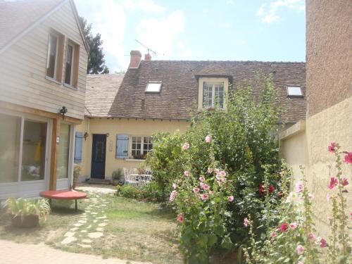
Bed and Breakfast : Maison d'Autrefois
Located in Mareau-aux-Prés, 13 km from Orléans, Maison d'Autrefois offers barbecue facilities and free WiFi. A terrace with garden views is offered in all units. A continental...
Rate : from 70.00 €
to 135.00 €
Contact : 307, rue du cas rouge 45370 Mareau-aux-Prés
Distance Bed and Breakfast - Saint-Ay : 4.63 km
|
|
Find another hotel near Saint-Ay : Saint-Ay hotels list
|
Map of Saint-Ay
|
|
Map of Saint-Ay :
At right you can find the localization of Saint-Ay on the map of France. Below, this is the satellite map of Saint-Ay. A road map, and maps templates of Saint-Ay are available here : "road map of Saint-Ay". This map show Saint-Ay seen by the satellite of Google Map. To see the streets of Saint-Ay or move on another zone, use the buttons "zoom" and "map" on top of this dynamic map.
Search on the map of Saint-Ay :
To search hotels, housings, tourist information office, administrations or other services, use the Google search integrated to the map on the following page : "map Saint-Ay".
Hotels of Saint-Ay are listed on the map with the following icons: 
The map of Saint-Ay is centred in the following coordinates :
|

|
|
|
|
Print the map of Saint-Ay

Print the map of Saint-Ay : map of Saint-Ay
|
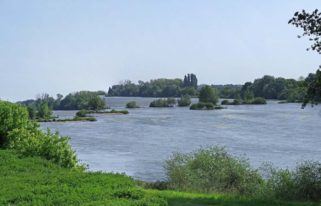
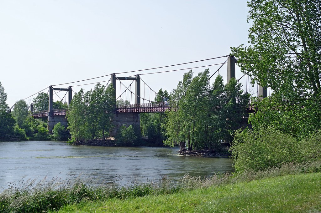
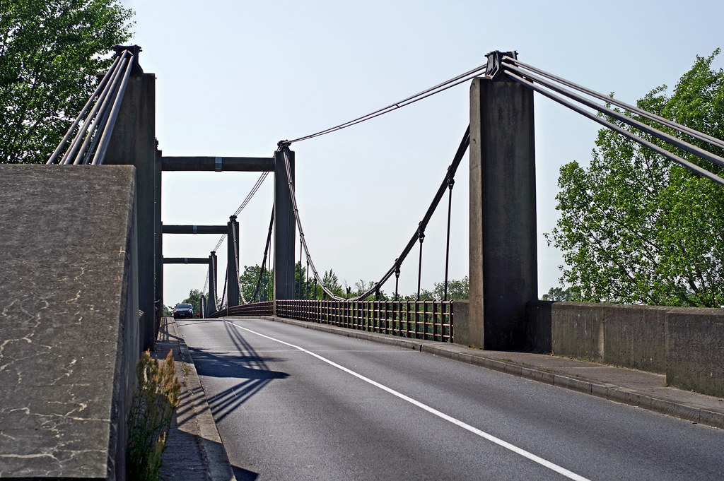
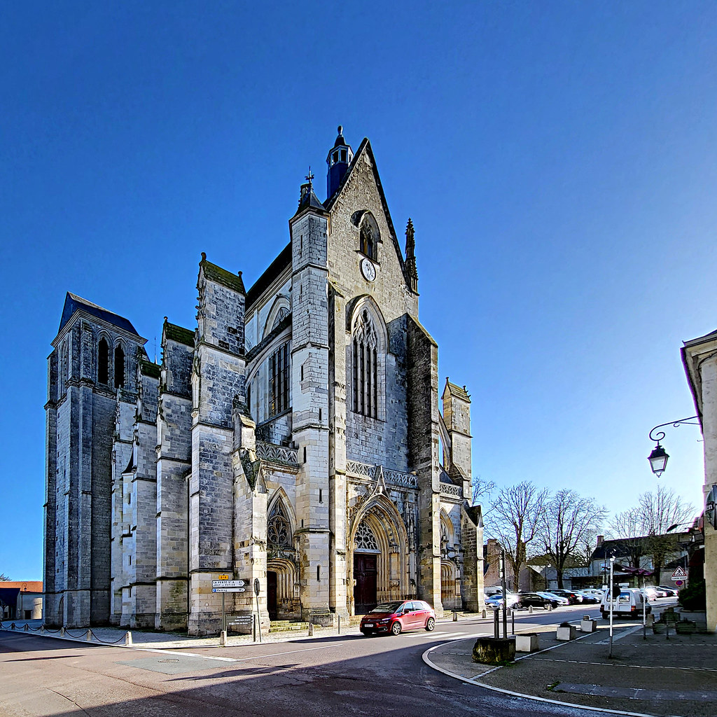
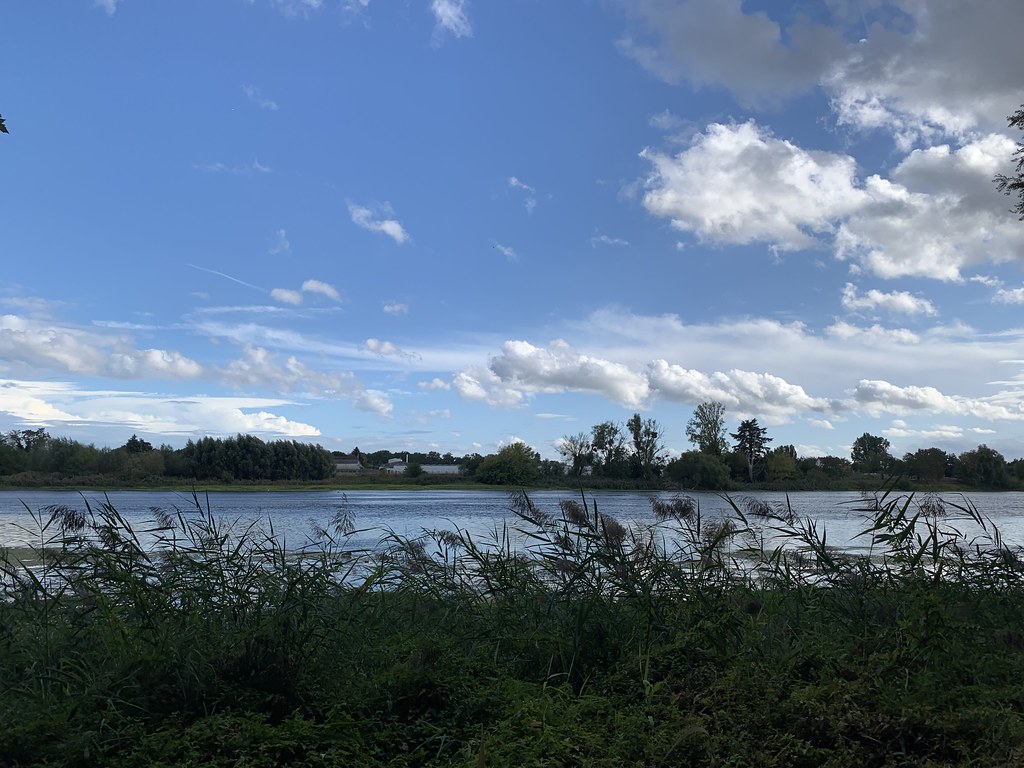
Photos Saint-Ay
|
See all photos of Saint-Ay :
Other photos of Saint-Ay and nearby towns can be found here: photos Saint-Ay
|
|
Saint-Ay weather forecast
Find next hours and 7 days weather forecast for Saint-Ay here : weather Saint-Ay (with english metrics)
This is the last weather forecast for Saint-Ay collected by the nearest observation station of Meung-sur-Loire.
Week Forecast:
The latest weather data for Saint-Ay were collected Friday, 19 April 2024 at 17:00 from the nearest observation station of Meung-sur-Loire.
| Friday, April 19th |
15°C 5°C
0%
64%
|
Mostly cloudy
Temperature Max: 15°C Temperature Min: 5°C
Precipitation Probability: 0%
Percentage of sky occluded by clouds: 64%
Wind speed: 19 km/h East
Humidity: 66%° UV Index: 4
Sunrise: 06:55 Sunset: 20:49 |
|
| | Saturday, April 20th |
12°C 4°C
0%
67%
|
Partly cloudy
Temperature Max: 12°C Temperature Min: 4°C
Precipitation Probability: 0%
Percentage of sky occluded by clouds: 67%
Wind speed: 17 km/h South
Humidity: 60%° UV Index: 3
Sunrise: 06:54 Sunset: 20:51 |
|
| | Sunday, April 21st |
12°C 2°C
0%
66%
|
Partly cloudy
Temperature Max: 12°C Temperature Min: 2°C
Precipitation Probability: 0%
Percentage of sky occluded by clouds: 66%
Wind speed: 18 km/h South
Humidity: 60%° UV Index: 3
Sunrise: 06:52 Sunset: 20:52 |
|
| | Monday, April 22nd |
12°C 2°C
0%
51%
|
Partly cloudy
Temperature Max: 12°C Temperature Min: 2°C
Precipitation Probability: 0%
Percentage of sky occluded by clouds: 51%
Wind speed: 17 km/h South
Humidity: 59%° UV Index: 3
Sunrise: 06:50 Sunset: 20:53 |
|
|
Attribution: 
|
|
Other maps, hotels and towns in france
Find another town, zip code, department, region, ...
Quick links Saint-Ay :
Make a link to this page of Saint-Ay with the following code :
|
|
|
 French Version : http://www.cartesfrance.fr/carte-france-ville/45269_Saint-Ay.html