|
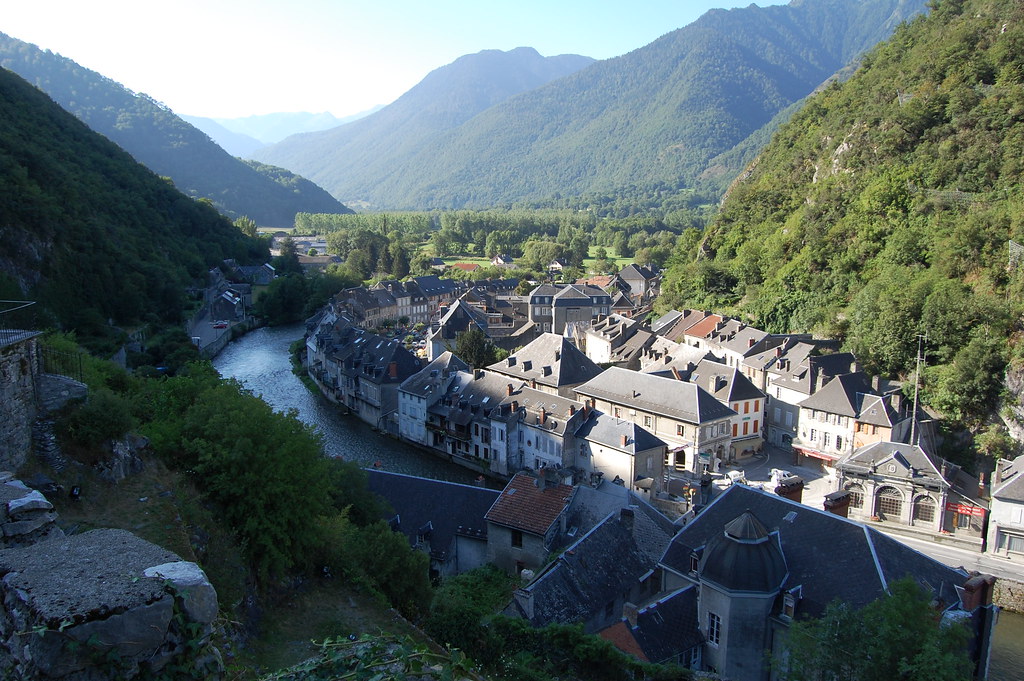
The village of Saint-Béat is a small village located south of France. The town of Saint-Béat is located in the department of Haute-Garonne of the french region Midi-Pyrénées. The town of Saint-Béat is located in the township of Saint-Béat part of the district of Saint-Gaudens. The area code for Saint-Béat is 31471 (also known as code INSEE), and the Saint-Béat zip code is 31440.
Geography and map of Saint-Béat :
The altitude of the city hall of Saint-Béat is approximately 561 meters. The Saint-Béat surface is 7.37 km ². The latitude and longitude of Saint-Béat are 42.914 degrees North and 0.69 degrees East.
Nearby cities and towns of Saint-Béat are :
Lez (31440) at 1.02 km, Eup (31440) at 1.63 km, Boutx (31440) at 2.00 km, Bezins-Garraux (31440) at 2.28 km, Marignac (31440) at 2.50 km, Arlos (31440) at 2.66 km, Argut-Dessous (31440) at 3.62 km, Chaum (31440) at 3.87 km.
(The distances to these nearby towns of Saint-Béat are calculated as the crow flies)
Population and housing of Saint-Béat :
The population of Saint-Béat was 364 in 1999, 394 in 2006 and 398 in 2007. The population density of Saint-Béat is 54.00 inhabitants per km². The number of housing of Saint-Béat was 452 in 2007. These homes of Saint-Béat consist of 202 main residences, 214 second or occasional homes and 36 vacant homes. |
|
|
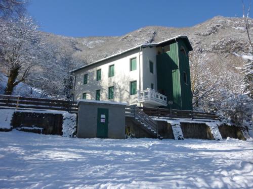
Hotel Saint-Béat
|
|
|
Book now ! Best Price Guaranteed, no booking fees, pay at the hotel with our partner Booking.com, leader in online hotel reservation.
Find all hotels of Saint-Béat : Hotel Saint-Béat
| |
|
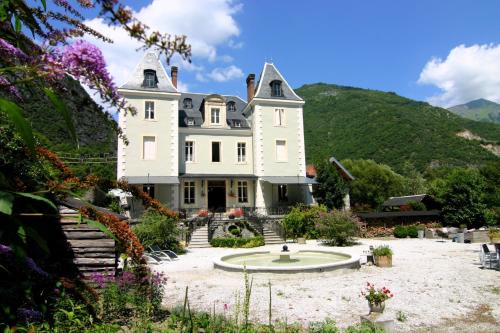
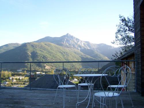
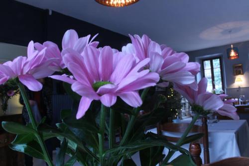
Guest accommodation : Chateau Serre Barbier
This 19th-century castle is set in a private garden at the foot of Marignac Forest, just 9 km from the Spanish border. Chateau Serre Barbier offers modern individually decorated...
Rate : from 79.00 €
to 89.00 €
Address : Route D'espagne 31440 Saint-Béat
Distance Guest accommodation - Saint-Béat : 0.56 km
|
|
|
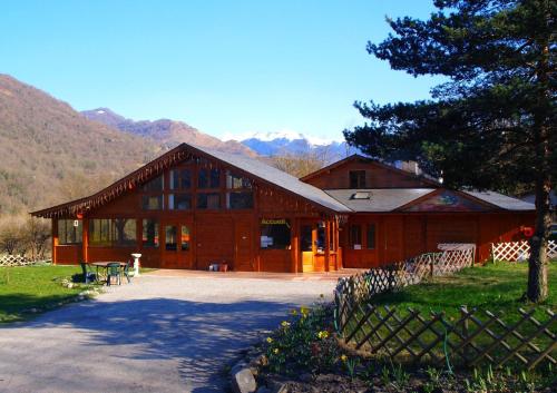
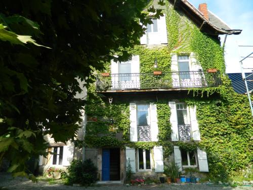
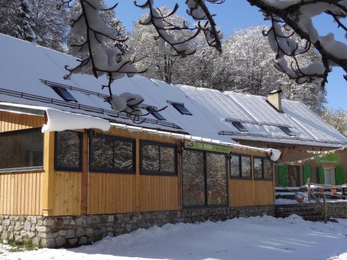
Bed and Breakfast : L'Abri d'Arlos
Located in Arlos, L’Abri d’Arlos offers self-catering rooms in a chalet with a garden, terrace and table tennis. Bagnères-de-Luchon and its ski resort is just a 25-minute drive ...
Price : from 69.62 €
to 1380.60 €
Contact : Route d'Espagne 31440 Arlos
Distance Bed and Breakfast - Saint-Béat : 1.80 km
|
|
|
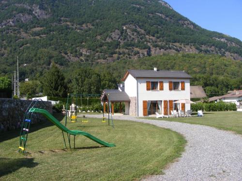
Guest accommodation : maison de caractère chrys

Situated in Boutx, 8 km from TS du Tuc de Pan, maison de caractère chrys provides a living room with a flat-screen TV. The property is 9 km from TS Tuc de l'Escalas. Opening on...
Prices : from 90.00 €
Contact : 1 rue cabanous 31440 Boutx
Distance Guest accommodation - Saint-Béat : 2.00 km
|
|
|
Bed and Breakfast : Le Baluchon
Located a 15-minute drive from Bagnère-de-Luchon, Le Baluchon is a B&B offering a garden with views over the Pyrénées Mountains and a shared lounge with billiards. Each room at...
Rate : from 51.00 €
to 104.00 €
Contact : 19, rue de Soueste 31440 Cierp
Distance Bed and Breakfast - Saint-Béat : 3.72 km
|
|
|
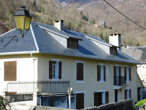
Bed and Breakfast : villa clémence 31
Located in the centre of Cierp-Gaud, Villa Clémence is 15 km from the Spanish border and 34 km from Superbagnères Ski Resort. It offers free Wi-Fi, a garden and rooms with a bal...
Price : from 65.00 €
Address : 22 31440 Cierp
Distance Bed and Breakfast - Saint-Béat : 4.06 km
|
|
|
Guest accommodation : La Résidence de Lorelei
La Résidence de Lorelei is an independent house with a private terrace and BBQ, just 17 km from Bagnères-de-Luchon and 15 km from the Spanish border. It offers mountain views. ...
Contact : 4 Chemin Caubère 31440 Cierp
Distance Guest accommodation - Saint-Béat : 4.15 km
|
|
|
Guest accommodation : Vacances Beauséjour
Situated in Cierp-Gaud, 15 km from the Spanish border, Village Vacances Beauséjour features a free heated indoor swimming pool, free Wi-Fi in the public areas and free private p...
Rate : from 60.00 €
to 66.00 €
Contact : Rue des Chalets 31440 Cierp
Distance Guest accommodation - Saint-Béat : 4.26 km
|
|
|
Apartment : Résidence Le Pignan
Located in Cierp-Gaud, Appartement Le Pignan offers a garden, terrace and luggage storage. The self-catering accommodation is decorated with country wood and Marignac is just 4 ...
Price : from 50.00 €
to 66.00 €
Contact : Rue des chalets 31440 Cierp
Distance Apartment - Saint-Béat : 4.27 km
|
|
|
Hotel : La Gentilhommière
La Gentilhommière is situated in Fos, 27 km from Baqueira-Beret. The hotel has a barbecue and ski storage space, and guests can enjoy a meal at the restaurant. Certain rooms fe...
Prices : from 65.00 €
to 75.00 €
Address : Avenue Jean Jaures 31440 Fos
Distance Hotel - Saint-Béat : 5.63 km
|
|
|
Hotel : Auberge La Soulan
A hotel located at Menté Pass just 800 metres from Mourtis ski resort, Auberge La Soulan offers a shared lounge with a fireplace, a restaurant and free WiFi access throughout th...
Rate : from 25.00 €
to 86.00 €
Contact : Col De Menté 31440 Boutx
Distance Hotel - Saint-Béat : 5.83 km
|
|
Find another hotel near Saint-Béat : Saint-Béat hotels list
|
Map of Saint-Béat
|
|
Map of Saint-Béat :
At right you can find the localization of Saint-Béat on the map of France. Below, this is the satellite map of Saint-Béat. A road map, and maps templates of Saint-Béat are available here : "road map of Saint-Béat". This map show Saint-Béat seen by the satellite of Google Map. To see the streets of Saint-Béat or move on another zone, use the buttons "zoom" and "map" on top of this dynamic map.
Search on the map of Saint-Béat :
To search hotels, housings, tourist information office, administrations or other services, use the Google search integrated to the map on the following page : "map Saint-Béat".
Hotels of Saint-Béat are listed on the map with the following icons: 
The map of Saint-Béat is centred in the following coordinates :
|

|
|
|
|
Print the map of Saint-Béat

Print the map of Saint-Béat : map of Saint-Béat
|
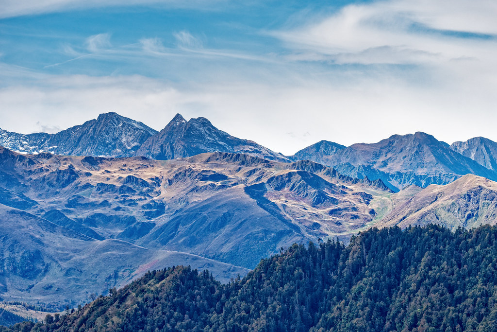
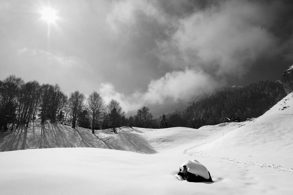
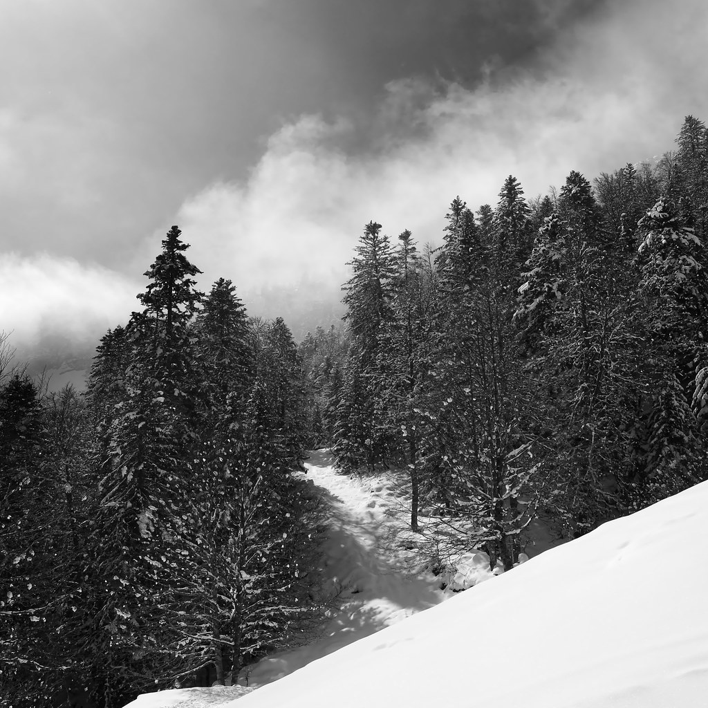
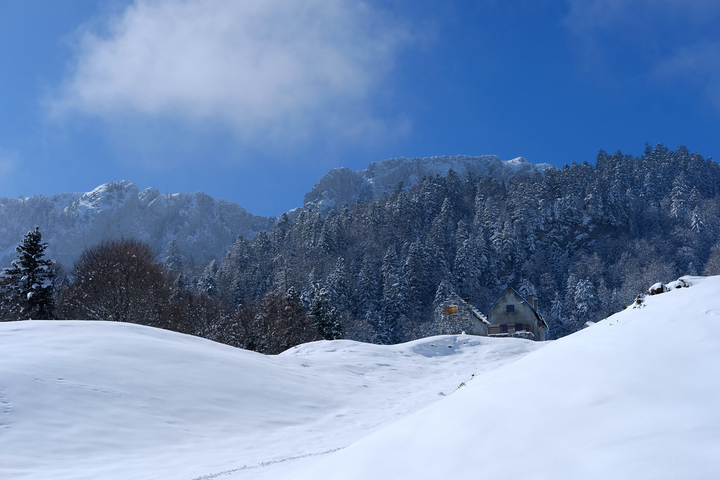
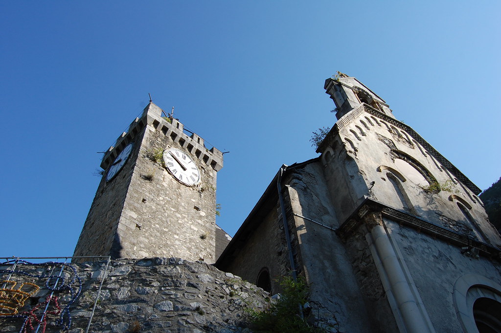
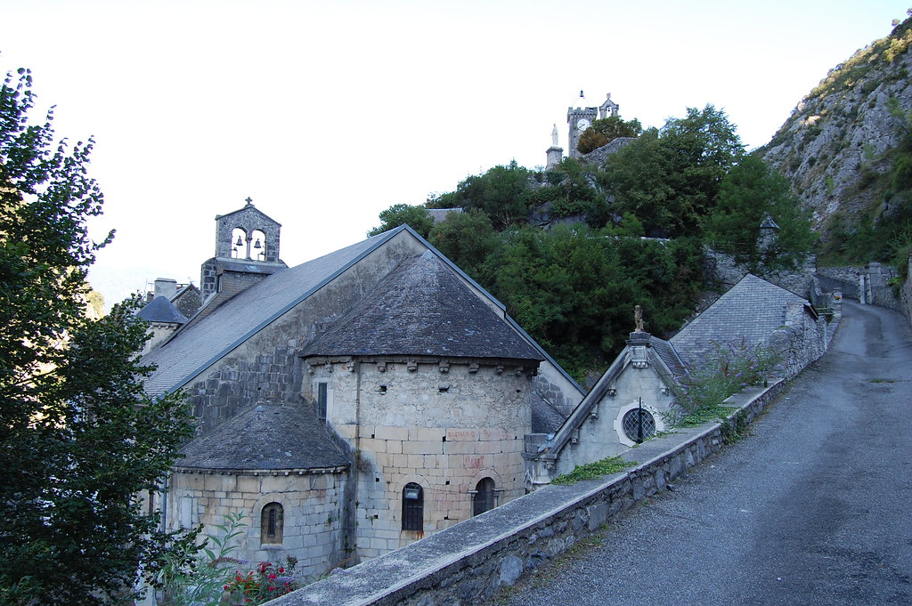
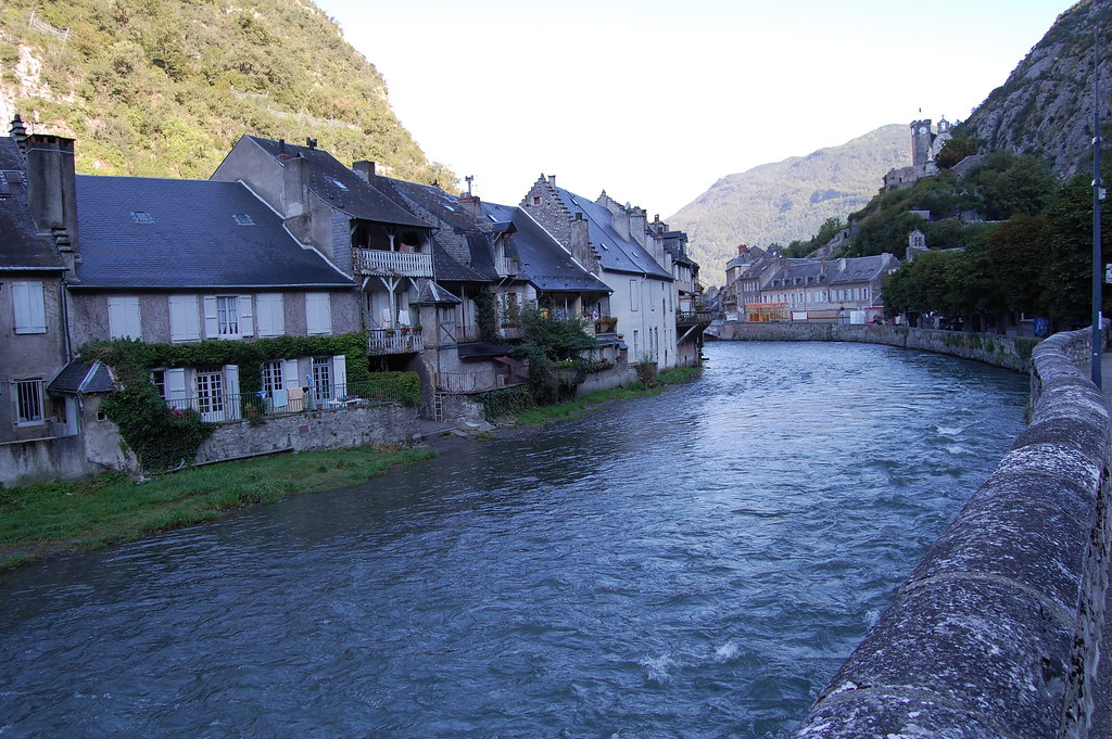
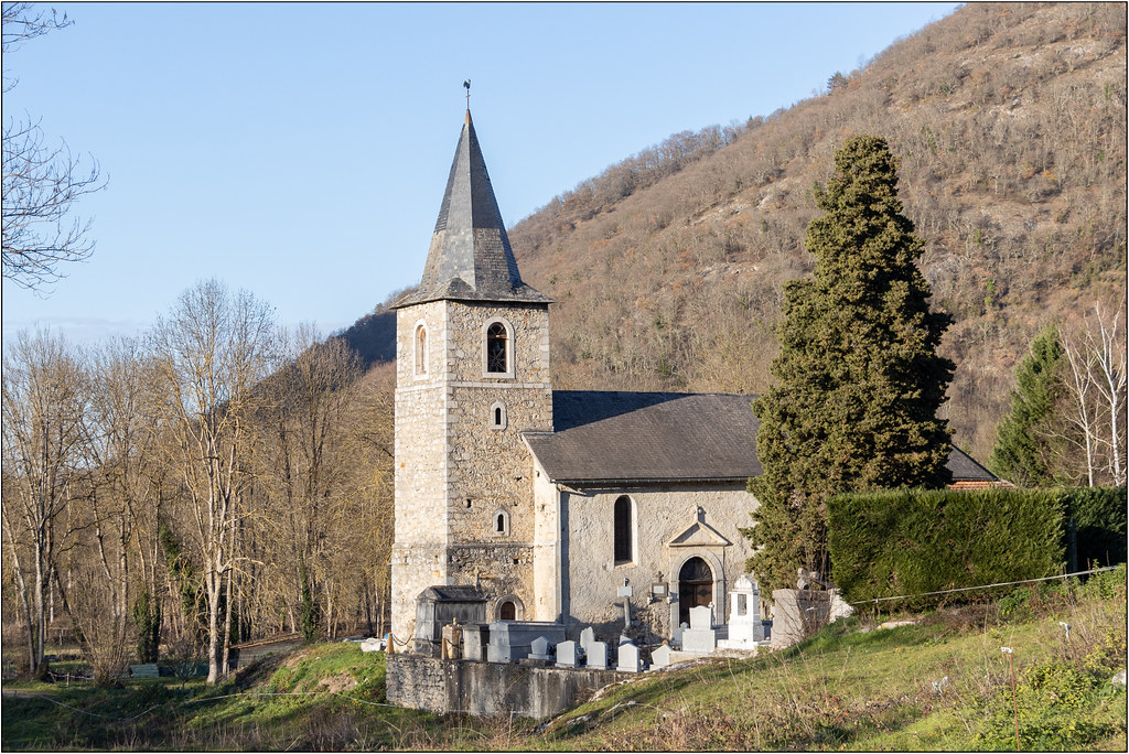
Photos Saint-Béat
|
See all photos of Saint-Béat :
Other photos of Saint-Béat and nearby towns can be found here: photos Saint-Béat
|
|
Saint-Béat weather forecast
Find next hours and 7 days weather forecast for Saint-Béat here : weather Saint-Béat (with english metrics)
This is the last weather forecast for Saint-Béat collected by the nearest observation station of Saint-Béat.
Week Forecast:
The latest weather data for Saint-Béat were collected Tuesday, 23 April 2024 at 17:00 from the nearest observation station of Saint-Béat.
| Tuesday, April 23rd |
4°C -1°C
42%
85%
|
Snow
Temperature Max: 4°C Temperature Min: -1°C
Precipitation Probability: 42% (Snow)
Percentage of sky occluded by clouds: 85%
Wind speed: 7 km/h South-East
Humidity: 72%° UV Index: 4
Sunrise: 07:02 Sunset: 20:49 |
|
| | Wednesday, April 24th |
8°C -0°C
19%
83%
|
Mostly cloudy
Temperature Max: 8°C Temperature Min: -0°C
Precipitation Probability: 19% (Rain)
Percentage of sky occluded by clouds: 83%
Wind speed: 7 km/h East
Humidity: 68%° UV Index: 3
Sunrise: 07:00 Sunset: 20:50 |
|
| | Thursday, April 25th |
10°C 3°C
42%
85%
|
Rain
Temperature Max: 10°C Temperature Min: 3°C
Precipitation Probability: 42% (Rain)
Percentage of sky occluded by clouds: 85%
Wind speed: 5 km/h South-East
Humidity: 73%° UV Index: 4
Sunrise: 06:59 Sunset: 20:51 |
|
| | Friday, April 26th |
11°C 3°C
56%
75%
|
Drizzle
Temperature Max: 11°C Temperature Min: 3°C
Precipitation Probability: 56% (Rain)
Percentage of sky occluded by clouds: 75%
Wind speed: 4 km/h West
Humidity: 71%° UV Index: 4
Sunrise: 06:57 Sunset: 20:52 |
|
|
Attribution: 
|
|
Other maps, hotels and towns in france
Find another town, zip code, department, region, ...
Quick links Saint-Béat :
Make a link to this page of Saint-Béat with the following code :
|
|
|
 French Version : http://www.cartesfrance.fr/carte-france-ville/31471_Saint-Beat.html