Map of France

Saint-Benoît

French version French Version : http://www.cartesfrance.fr/carte-france-ville/97410_Saint-Benoit.html

Find a town, a zip code,
a department, a region... in France
I like Map-France.com !


City of Saint-Benoît


The city of Saint-Benoît is located in the department of La Réunion of the french region La Réunion. The city of Saint-Benoît is located in the district of Saint-Benoît. The area code for Saint-Benoît is 97410 (also known as code INSEE), and the Saint-Benoît zip code is 97470.

Geography and map of Saint-Benoît :

The altitude of the city hall of Saint-Benoît is approximately 1 239 meters. The Saint-Benoît surface is 229.61 km ². The latitude and longitude of Saint-Benoît are 21.034 degrees South and 55.713 degrees East. Nearby cities and towns of Saint-Benoît are : Bras-Panon (97412) at 5.73 km, Saint-André (97440) at 10.39 km, Sainte-Rose (97439) at 13.23 km, La Plaine-des-Palmistes (97431) at 14.41 km, Sainte-Suzanne (97441) at 17.97 km, Salazie (97433) at 18.01 km, Sainte-Marie (97438) at 22.79 km, Cilaos (97413) at 27.47 km.
(The distances to these nearby towns of Saint-Benoît are calculated as the crow flies)

Population and housing of Saint-Benoît :

The population of Saint-Benoît was 31 531 in 1999 and 33 485 in 2007. The population density of Saint-Benoît is 145.83 inhabitants per km². The number of housing of Saint-Benoît was 11 631 in 2007. These homes of Saint-Benoît consist of 10 668 main residences, 100 second or occasional homes and 863 vacant homes.
I like Saint-Benoît !
   

Administrative Information of Saint-Benoît
Region :La Réunion (4) Map of France regions
Departement :La Réunion (974) Map of France departments
 
District :Saint-Benoît 
 
Township : 
 
Area code :97410 
 
Zip code :97470 
Nearby towns of Saint-Benoît
Here are maps and information of the close municipalities near Saint-Benoît.
See all the towns of La Réunion (Distances are calculated as the crow flies)
Bras-Panon (974)  at 5.73 kmSaint-André (974)  at 10.39 km
Sainte-Rose (974)  at 13.23 kmLa Plaine-des-Palmistes (974)  at 14.41 km
Sainte-Suzanne (974)  at 17.97 kmSalazie (974)  at 18.01 km
Sainte-Marie (974)  at 22.79 kmCilaos (974)  at 27.47 km
Saint-Denis (974)  at 32.41 kmLe Tampon (974)  at 33.98 km
Entre-Deux (974)  at 34.64 kmSaint-Philippe (974)  at 36.61 km
Petite-Île (974)  at 37.08 kmSaint-Joseph (974)  at 39.50 km
La Possession (974)  at 40.89 kmSaint-Pierre (974)  at 41.99 km
Saint-Louis (974)  at 42.17 kmLes Trois-Bassins (974)  at 44.04 km
L'Étang-Salé (974)  at 44.16 kmLe Port (974)  at 45.38 km

Geography of Saint-Benoît
Area :229.61 km² (22 961 hectares) 
Minimum altitude : 0 m  
Maximum altitude : 2 478 m  
Average altitude : 1 239 m  
Altitude of the city hall : 1 239 m Map France physical
Sexagesimal geographical coordinates (WGS84): Latitude: 21° 02' 02'' South
Longitude: 55° 42' 46'' East
Decimal geographical coordinates : Latitude: -21.034 degrees (21.034° South)
Longitude: 55.713 degrees (55.713° East)

Population and housings of Saint-Benoît
Inhabitants in 1999 :31 531 inhabitants 
Inhabitants in 2007 :33 485 inhabitants 
Population data :Population Saint-Benoît
Population density : 145.83 hab/km² Map of France population density
Variation of population density : +0.75 %/year variation of population density of France
Housings in 1999 :10 284 logements 
Housings in 2007 :11 631 logements 
Housings data :Housing Saint-Benoît


Hotel Saint-Benoît

Search hotels near Saint-Benoît : Book your hotel now !

Where ? 

Check-in date 
calendar
Check-out date 
calendar


Map of Saint-Benoît


Map of Saint-Benoît :

At right you can find the localization of Saint-Benoît on the map of France. Below, this is the satellite map of Saint-Benoît.. This map show Saint-Benoît seen by the satellite of Google Map. To see the streets of Saint-Benoît or move on another zone, use the buttons "zoom" and "map" on top of this dynamic map.

Search on the map of Saint-Benoît :

To search hotels, housings, tourist information office, administrations or other services, use the Google search integrated to the map on the following page : "map Saint-Benoît".
Hotels of Saint-Benoît are listed on the map with the following icons: hotel Saint-Benoît

The map of Saint-Benoît is centred in the following coordinates :

Latitude :   Longitude :   


Print the map of Saint-Benoît


Print the map of Saint-Benoît : map of Saint-Benoît
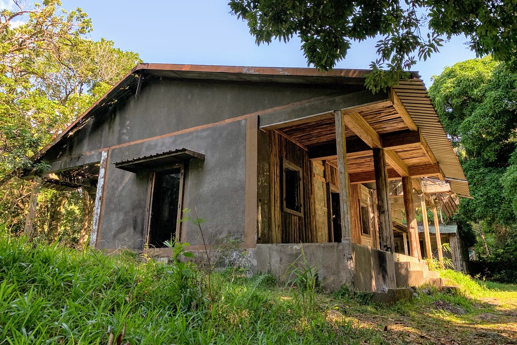
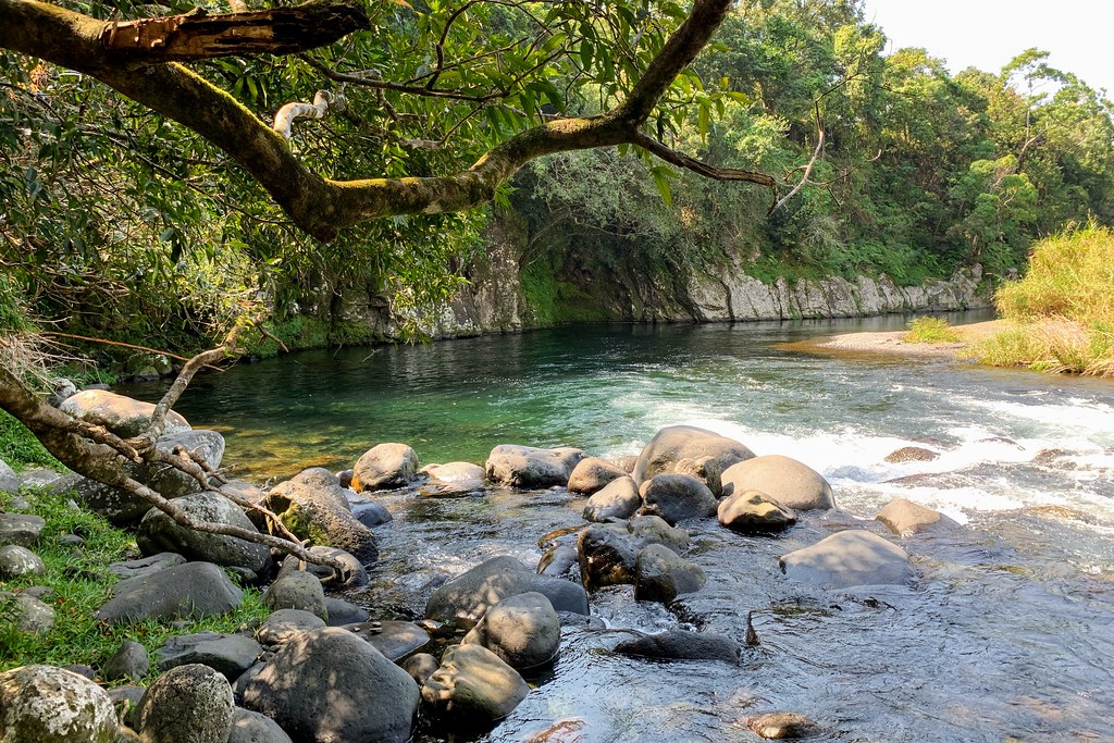
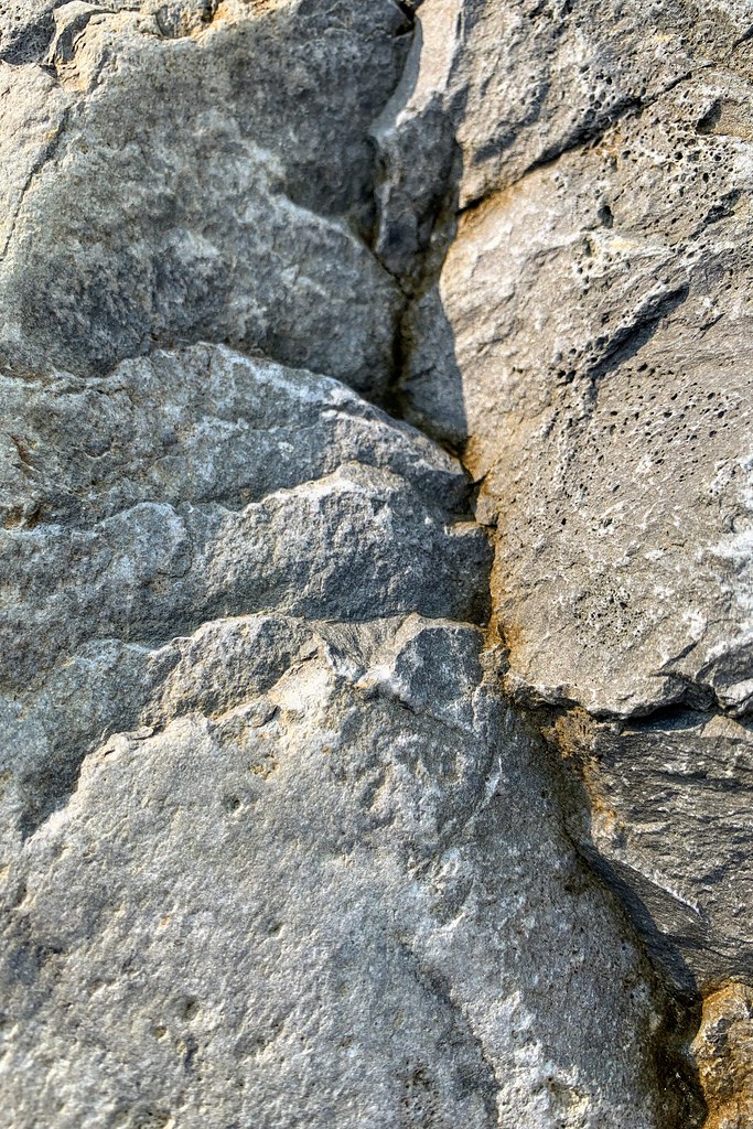
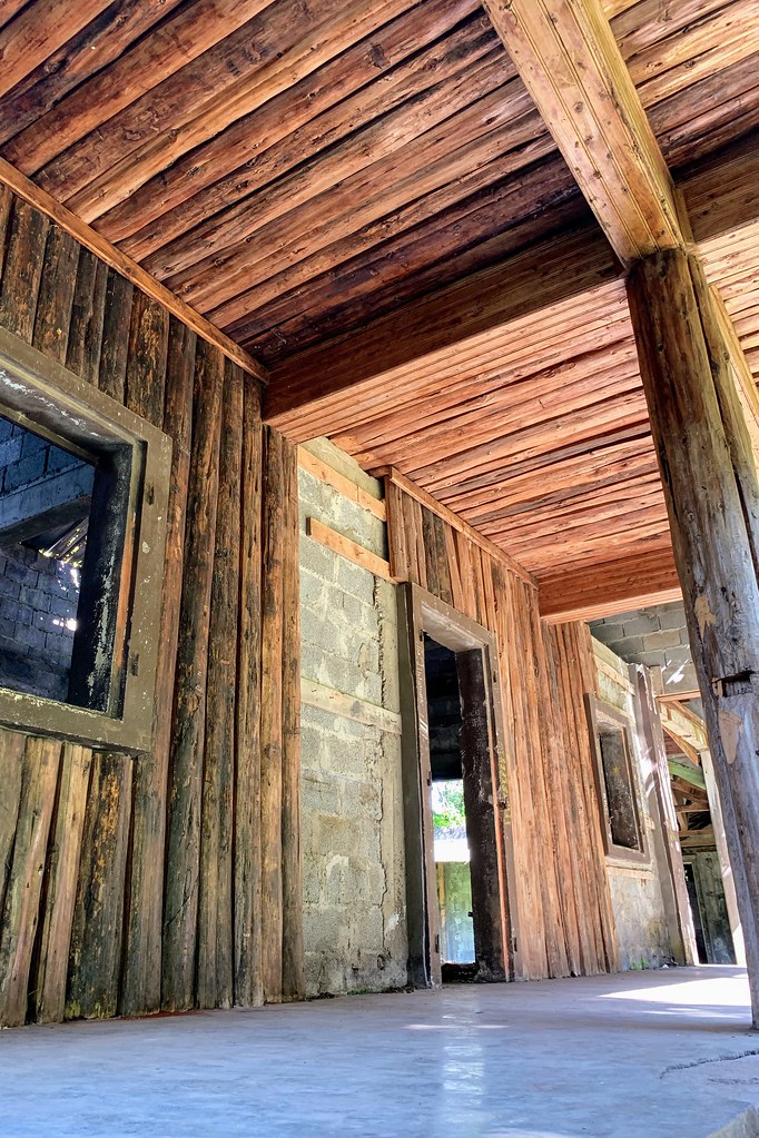
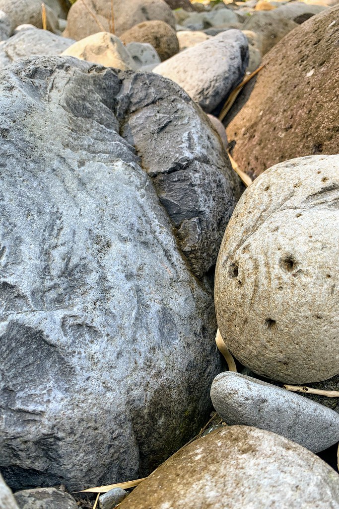
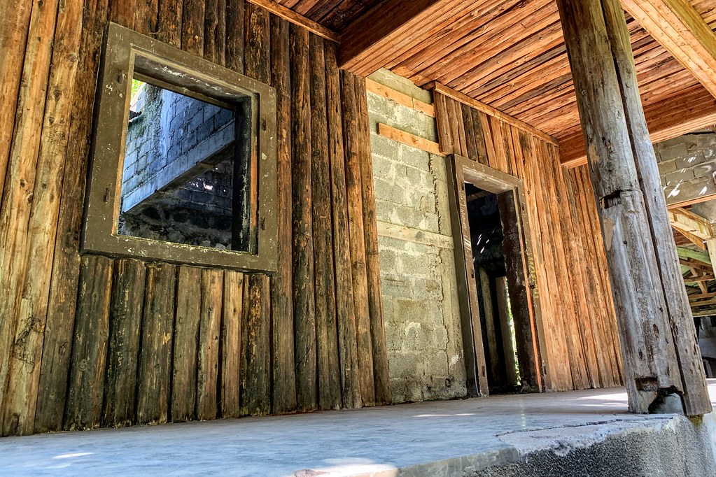
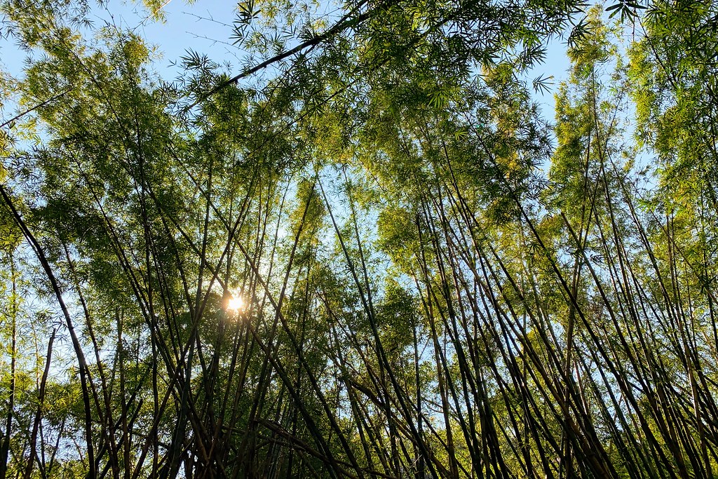
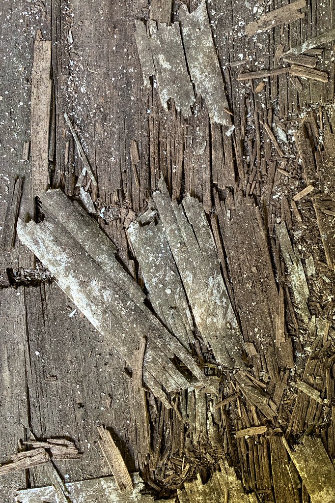
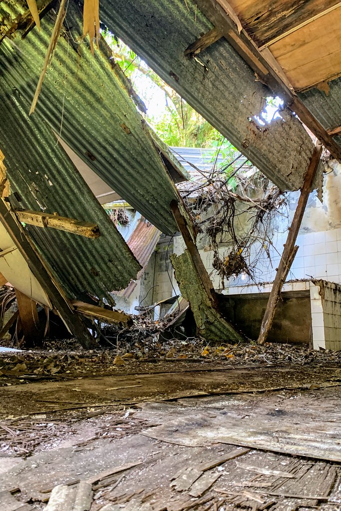
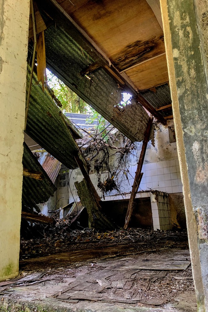
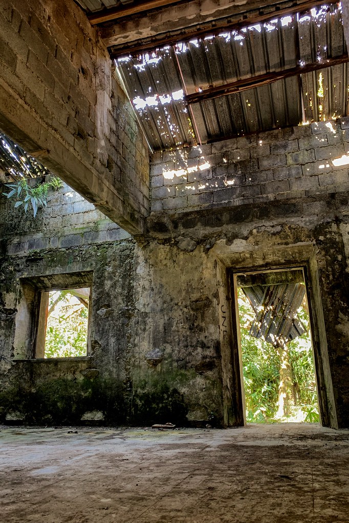
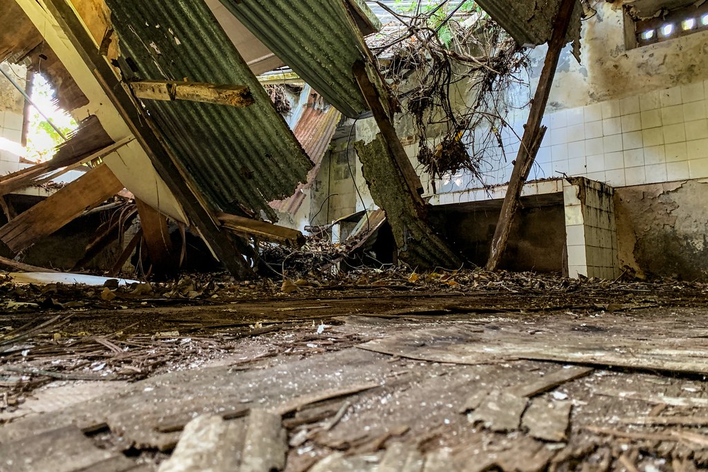
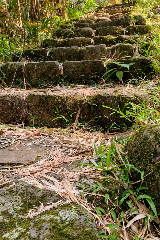
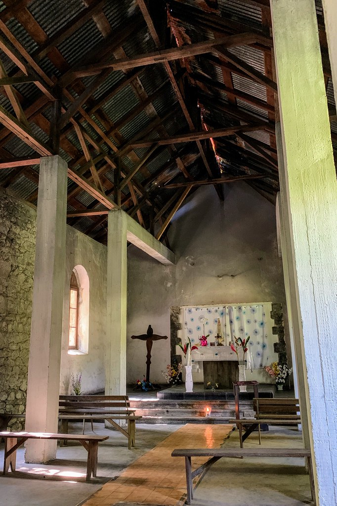
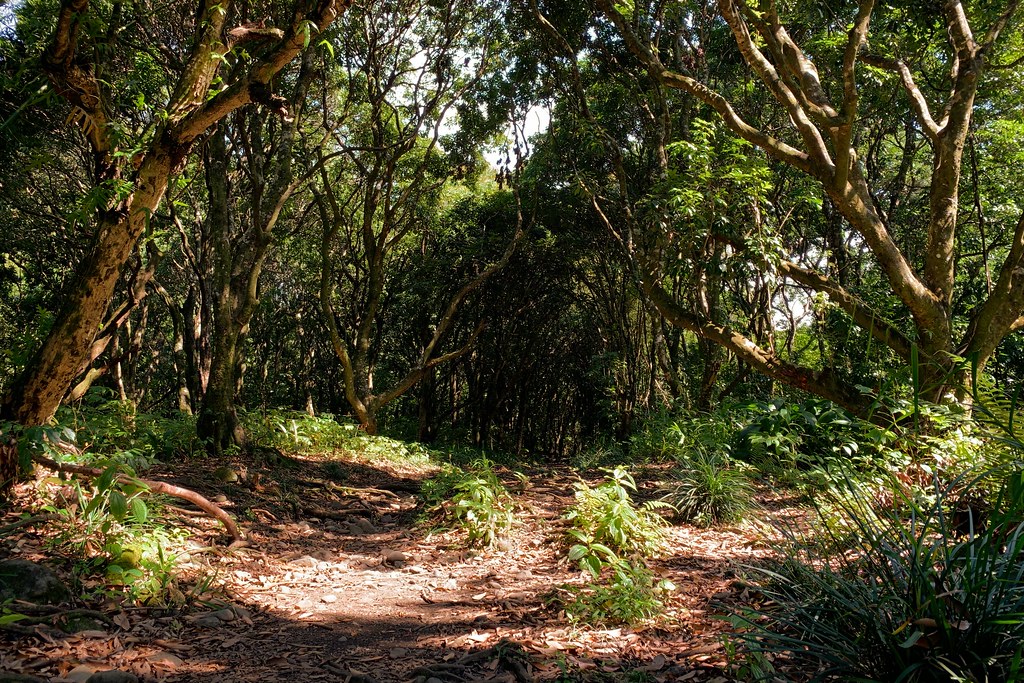
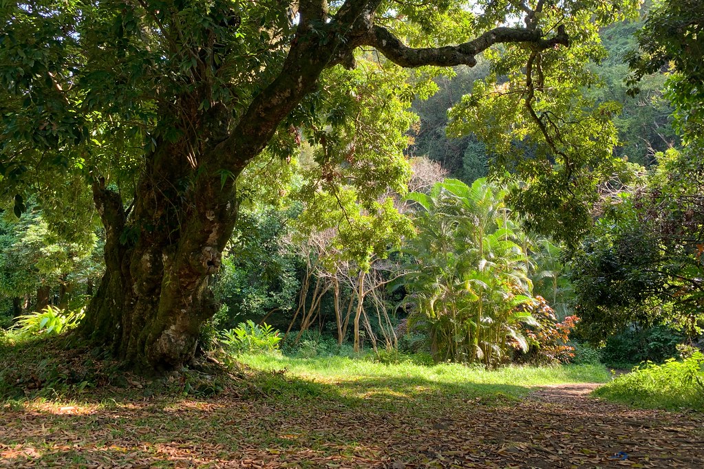
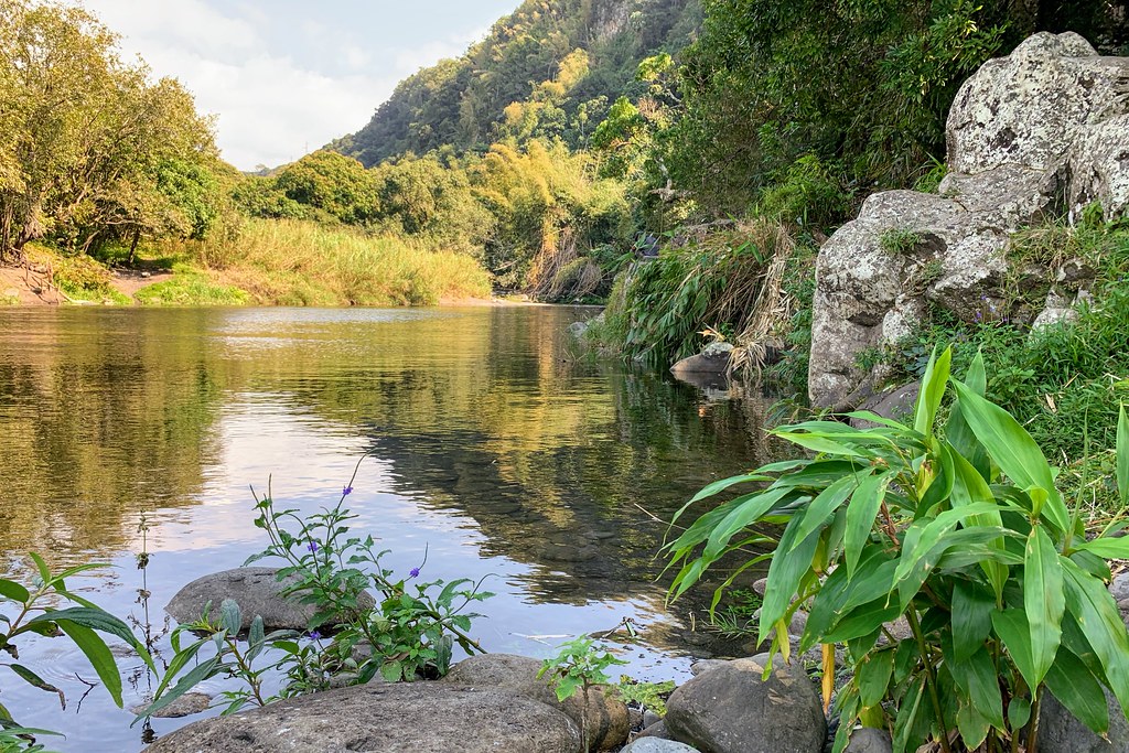
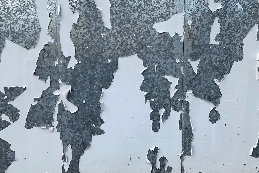
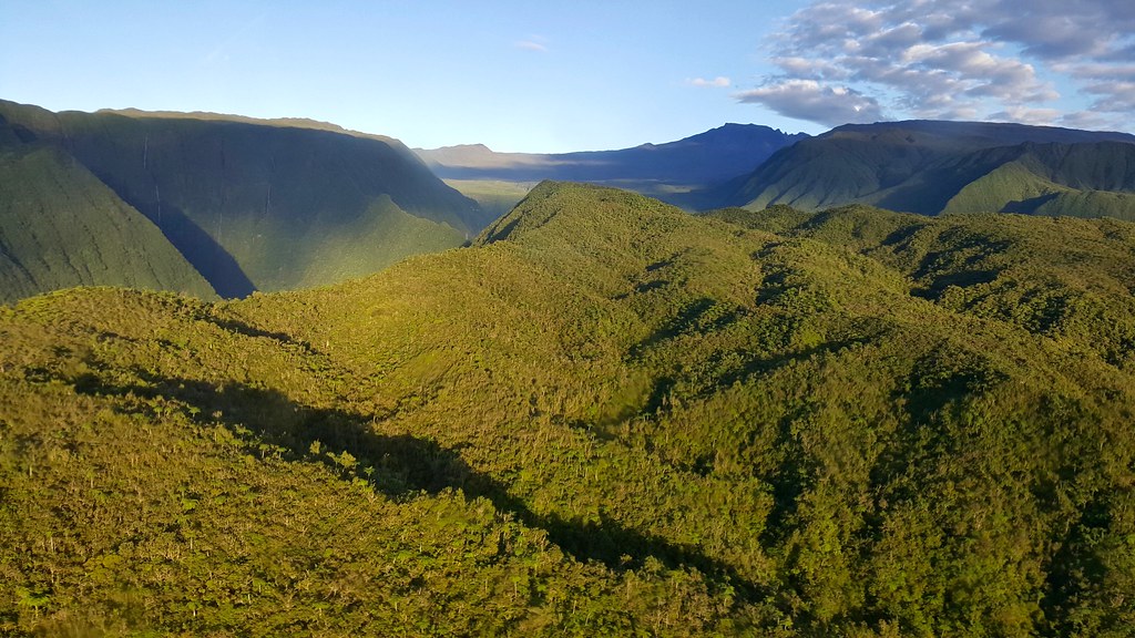


Photos Saint-Benoît

See all photos of Saint-Benoît :

Other photos of Saint-Benoît and nearby towns can be found here: photos Saint-Benoît
These photos taken near the city of Saint-Benoît can be shown in full screen clicking on the thumbnails. Photos are copyrighted by their owners.

Almost forsaken - Photo of Saint-Benoît
Almost forsaken

Lock - Photo of Saint-Benoît
Lock

Juxtaposition - Photo of Saint-Benoît
Juxtaposition

Almost forsaken - Photo of Saint-Benoît
Almost forsaken

Stump - Photo of Saint-Benoît
Stump

Pebbkes - Photo of Saint-Benoît
Pebbkes

Almost forsaken - Photo of Saint-Benoît
Almost forsaken

Bamboo - Photo of Saint-Benoît
Bamboo

A brittle armor - Photo of Saint-Benoît
A brittle armor

Mind the head - Photo of Saint-Benoît
Mind the head

Mind the head - Photo of Saint-Benoît
Mind the head

Cleanish - Photo of Saint-Benoît
Cleanish

Photo of Saint-Benoît

Ascend, transcend - Photo of Saint-Benoît
Ascend, transcend

Photo of Saint-Benoît

Photo of Saint-Benoît

Photo of Saint-Benoît

Photo of Saint-Benoît

Photo of Saint-Benoît

Photo of Saint-Benoît

Photo of Saint-Benoît

Photo of Saint-Benoît

A map of all our failures - Photo of Saint-Benoît
A map of all our failures

Opéra d-4 sous-19 - Photo of Saint-Benoît
Opéra d-4 sous-19

Opéra d-4 sous-34 - Photo of Saint-Benoît
Opéra d-4 sous-34

Opéra d-4 sous - Conflore - Photo of Saint-Benoît
Opéra d-4 sous - Conflore

La Réunion from the sky - Photo of Saint-Benoît
La Réunion from the sky

Photo of Saint-Benoît

Photo of Saint-Benoît

Opéra d-4 sous - Conflore - Photo of Saint-Benoît
Opéra d-4 sous - Conflore


Saint-Benoît weather forecast

Find next hours and 7 days weather forecast for Saint-Benoît here : weather Saint-Benoît (with english metrics)
This is the last weather forecast for Saint-Benoît collected by the nearest observation station of Saint-Benoît.

Week Forecast:


The latest weather data for Saint-Benoît were collected Tuesday, 23 April 2024 at 10:00 from the nearest observation station of Saint-Benoît.

Tuesday, April 23rd

27°C     22°C

28%
 45%


Partly cloudy

Temperature Max: 27°C    Temperature Min: 22°C
Precipitation Probability: 28% (Rain)
Percentage of sky occluded by clouds: 45%
Wind speed: 6 km/h West
Humidity: 83%°        UV Index: 7
Sunrise: 04:31     Sunset: 15:59

Wednesday, April 24th

27°C     22°C

40%
 31%


Mostly clear

Temperature Max: 27°C    Temperature Min: 22°C
Precipitation Probability: 40% (Rain)
Percentage of sky occluded by clouds: 31%
Wind speed: 9 km/h West
Humidity: 80%°        UV Index: 8
Sunrise: 04:32     Sunset: 15:58

Thursday, April 25th

27°C     22°C

55%
 45%


Rain

Temperature Max: 27°C    Temperature Min: 22°C
Precipitation Probability: 55% (Rain)
Percentage of sky occluded by clouds: 45%
Wind speed: 8 km/h West
Humidity: 83%°        UV Index: 8
Sunrise: 04:32     Sunset: 15:57

Friday, April 26th

28°C     22°C

40%
 49%


Rain

Temperature Max: 28°C    Temperature Min: 22°C
Precipitation Probability: 40% (Rain)
Percentage of sky occluded by clouds: 49%
Wind speed: 9 km/h West
Humidity: 78%°        UV Index: 7
Sunrise: 04:32     Sunset: 15:56

Attribution:             


Other maps, hotels and towns in france


Find another town, zip code, department, region, ...


Quick links Saint-Benoît :


Make a link to this page of Saint-Benoît with the following code :


Map of France | Regions | Departments | Cities | Partners | Terms | Contact