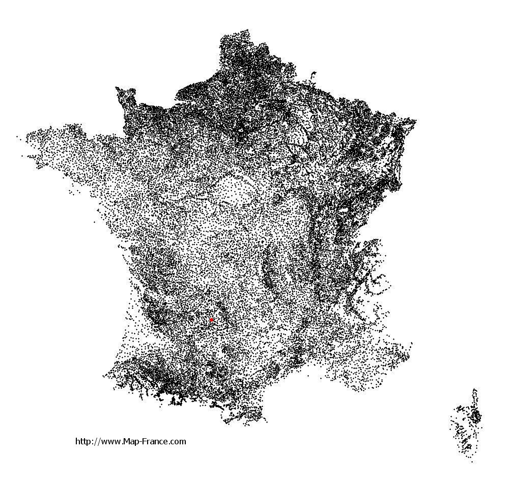
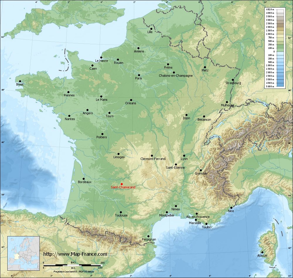
Saint-Chamarand on the relief France map in Lambert 93 coordinates
|
See the map of Saint-Chamarand in full screen (1000 x 949)
|
At left, here is the location of Saint-Chamarand on the relief France map in Lambert 93 coordinates.
Here are the altitudes of Saint-Chamarand :
- Town hall altitude of Saint-Chamarand is 243 meters
- Minimum altitude of Saint-Chamarand is 213 meters
- Maximum altitude of Saint-Chamarand is 384 meters
- Medium altitude of Saint-Chamarand is 299 meters
Here are the altitudes of Cahors, prefecture of Lot department:
- Town hall altitude of Cahors is 122 meters
- Minimum altitude of Cahors is 105 meters
- Maximum altitude of Cahors is 332 meters
- Medium altitude of Cahors is 219 meters
Here are the altitudes of the french biggest cities:
Paris : 33 meters
Marseille : 20 meters
Lyon : 237 meters
Toulouse : 146 meters
Nice : 10 meters
Nantes : 20 meters
Strasbourg : 144 meters
Montpellier : 35 meters
Bordeaux : 16 meters
Lille : 20 meters
Rennes : 35 meters
Reims : 83 meters
Click here for the terrain map of Saint-Chamarand in full screen:
Relief map of Saint-Chamarand
|
This relief map of Saint-Chamarand is reusable and modifiable by making a link to this page of the Map-France.com website or by using the given code :
|
Terrain base map of Saint-Chamarand
|

See the terrain base map of Saint-Chamarand in full screen (1000 x 949)
|
Small relief base map of Saint-Chamarand
|
This base map of Saint-Chamarand is reusable and modifiable by making a link to this page of the Map-France.com website or by using the given code :
|
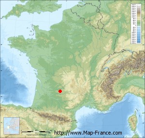
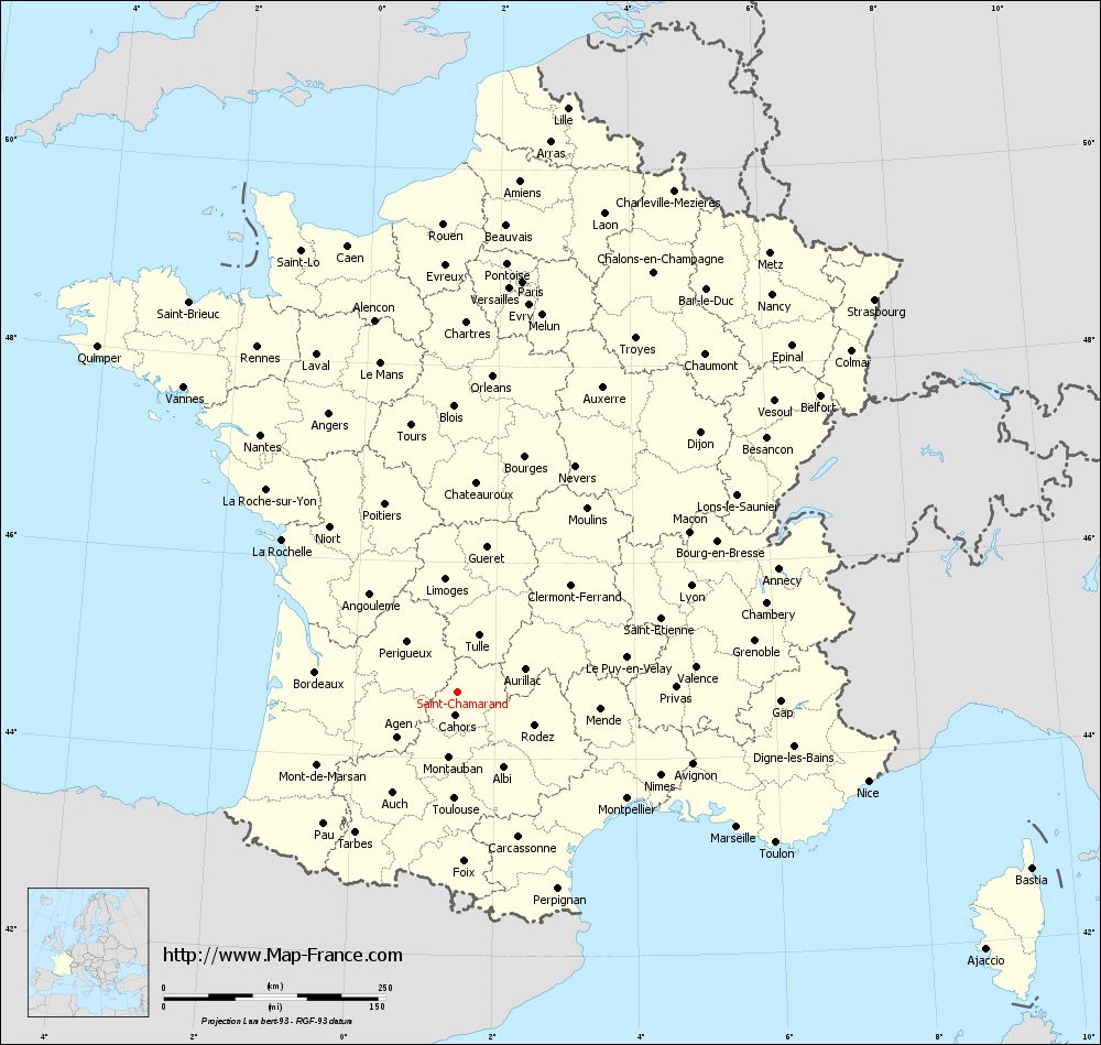
Map of Saint-Chamarand with regions and prefectures
|
View the map of Saint-Chamarand in full screen (1000 x 949)
|
You will find the location of Saint-Chamarand on the map of France of regions in Lambert 93 coordinates. The town of Saint-Chamarand is located in the department of Lot of the french region Midi-Pyrénées.
Geographical sexagesimal coordinates / GPS (WGS84):
Latitude: 44° 40' 42'' North
Longitude: 01° 27' 39'' East
Geographical decimal coordinates :
Latitude: 44.679 degrees (44.679° North)
Longitude: 1.463 degrees (1.463° East)
Lambert 93 coordinates :
X: 5 780 hectometers
Y: 63 989 hectometers
Lambert 2 coordinates :
X: 5 305 hectometers
Y: 19 646 hectometers
Below, the geographical coordinates of Cahors, prefecture of the Lot department:
Geographical sexagesimal coordinates / GPS (WGS84):
Latitude: 44° 26' 51'' North
Longitude: 01° 26' 26'' East
Geographical decimal coordinates :
Latitude: 44.448 degrees (44.448° North)
Longitude: 1.441 degrees (1.441° East)
Lambert 93 coordinates :
X: 5 759 hectometers
Y: 63 733 hectometers
Lambert 2 coordinates :
X: 5 286 hectometers
Y: 19 389 hectometers
|
This map of Saint-Chamarand is reusable and modifiable by making a link to this page of the Map-France.com website or by using the given code :
|
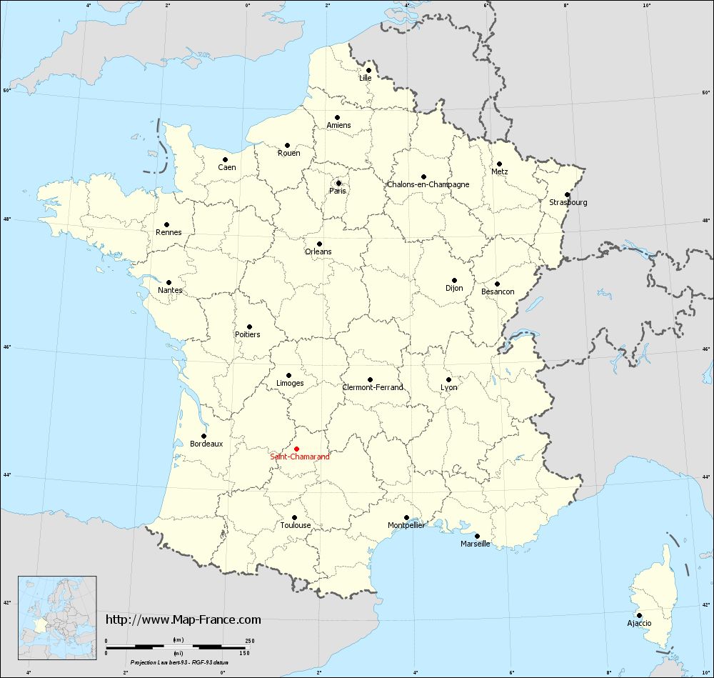
Map of Saint-Chamarand with departments and prefectures
|
Voir la carte of Saint-Chamarand en grand format (1000 x 949)
|
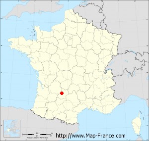
Here is the localization of Saint-Chamarand on the France map of departments in Lambert 93 coordinates. The city of Saint-Chamarand is shown on the map by a red point.
The town of Saint-Chamarand is located in the department of Lot of the french region Midi-Pyrénées.
The latitude of Saint-Chamarand is 44.679 degrees North.
The longitude of Saint-Chamarand is 1.463 degrees East.
Here the distance between Saint-Chamarand and the biggest cities of France:
Distances are calculated as the crow flies (orthodromic distance)
Distance between Saint-Chamarand and Paris : 469.49 kilometers
Distance between Saint-Chamarand and Marseille : 350.04 kilometers
Distance between Saint-Chamarand and Lyon : 289.91 kilometers
Distance between Saint-Chamarand and Toulouse : 119.84 kilometers
Distance between Saint-Chamarand and Nice : 474.34 kilometers
Distance between Saint-Chamarand and Nantes : 366.00 kilometers
Distance between Saint-Chamarand and Strasbourg : 646.78 kilometers
Distance between Saint-Chamarand and Montpellier : 225.99 kilometers
Distance between Saint-Chamarand and Bordeaux : 161.81 kilometers
Distance between Saint-Chamarand and Lille : 671.50 kilometers
Distance between Saint-Chamarand and Rennes : 450.67 kilometers
Distance between Saint-Chamarand and Reims : 544.71 kilometers
Clic here to see the map of Saint-Chamarand in full screen:
Saint-Chamarand on the map of french departments
|
This administrative map of Saint-Chamarand is reusable and modifiable by making a link to this page of the Map-France.com website or by using the given code :
|
Administrative base maps of Saint-Chamarand
|

See the administrative base map of Saint-Chamarand in full screen (1000 x 949)
|
Small administrative base map of Saint-Chamarand
|
This base map administrative of Saint-Chamarand is reusable and modifiable by making a link to this page of the Map-France.com website or by using the given code :
|
 French Version : http://www.cartesfrance.fr