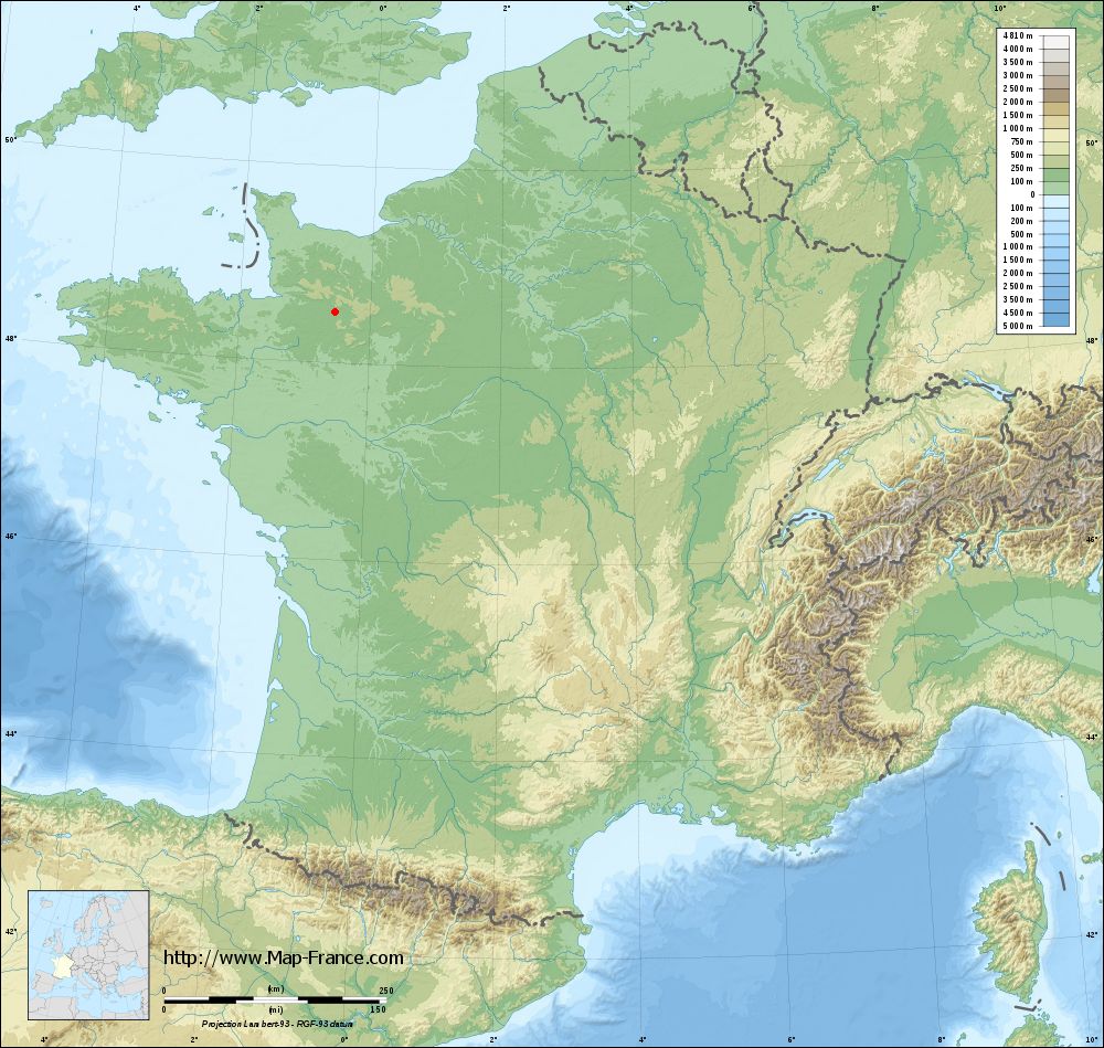
Saint-Denis-de-Villenette on the relief France map in Lambert 93 coordinates
|

See the map of Saint-Denis-de-Villenette in full screen (1000 x 949)
|
At left, here is the location of Saint-Denis-de-Villenette on the relief France map in Lambert 93 coordinates.
Here are the altitudes of Saint-Denis-de-Villenette :
- Town hall altitude of Saint-Denis-de-Villenette is 133 meters
- Minimum altitude of Saint-Denis-de-Villenette is 113 meters
- Maximum altitude of Saint-Denis-de-Villenette is 168 meters
- Medium altitude of Saint-Denis-de-Villenette is 141 meters
Here are the altitudes of Alençon, prefecture of Orne department:
- Town hall altitude of Alençon is 130 meters
- Minimum altitude of Alençon is 127 meters
- Maximum altitude of Alençon is 152 meters
- Medium altitude of Alençon is 140 meters
Here are the altitudes of the french biggest cities:
Paris : 33 meters
Marseille : 20 meters
Lyon : 237 meters
Toulouse : 146 meters
Nice : 10 meters
Nantes : 20 meters
Strasbourg : 144 meters
Montpellier : 35 meters
Bordeaux : 16 meters
Lille : 20 meters
Rennes : 35 meters
Reims : 83 meters
Click here for the terrain map of Saint-Denis-de-Villenette in full screen:
Relief map of Saint-Denis-de-Villenette
|
This relief map of Saint-Denis-de-Villenette is reusable and modifiable by making a link to this page of the Map-France.com website or by using the given code :
|
Terrain base map of Saint-Denis-de-Villenette
|
See the terrain base map of Saint-Denis-de-Villenette in full screen (1000 x 949)
|
Small relief base map of Saint-Denis-de-Villenette
|
This base map of Saint-Denis-de-Villenette is reusable and modifiable by making a link to this page of the Map-France.com website or by using the given code :
|
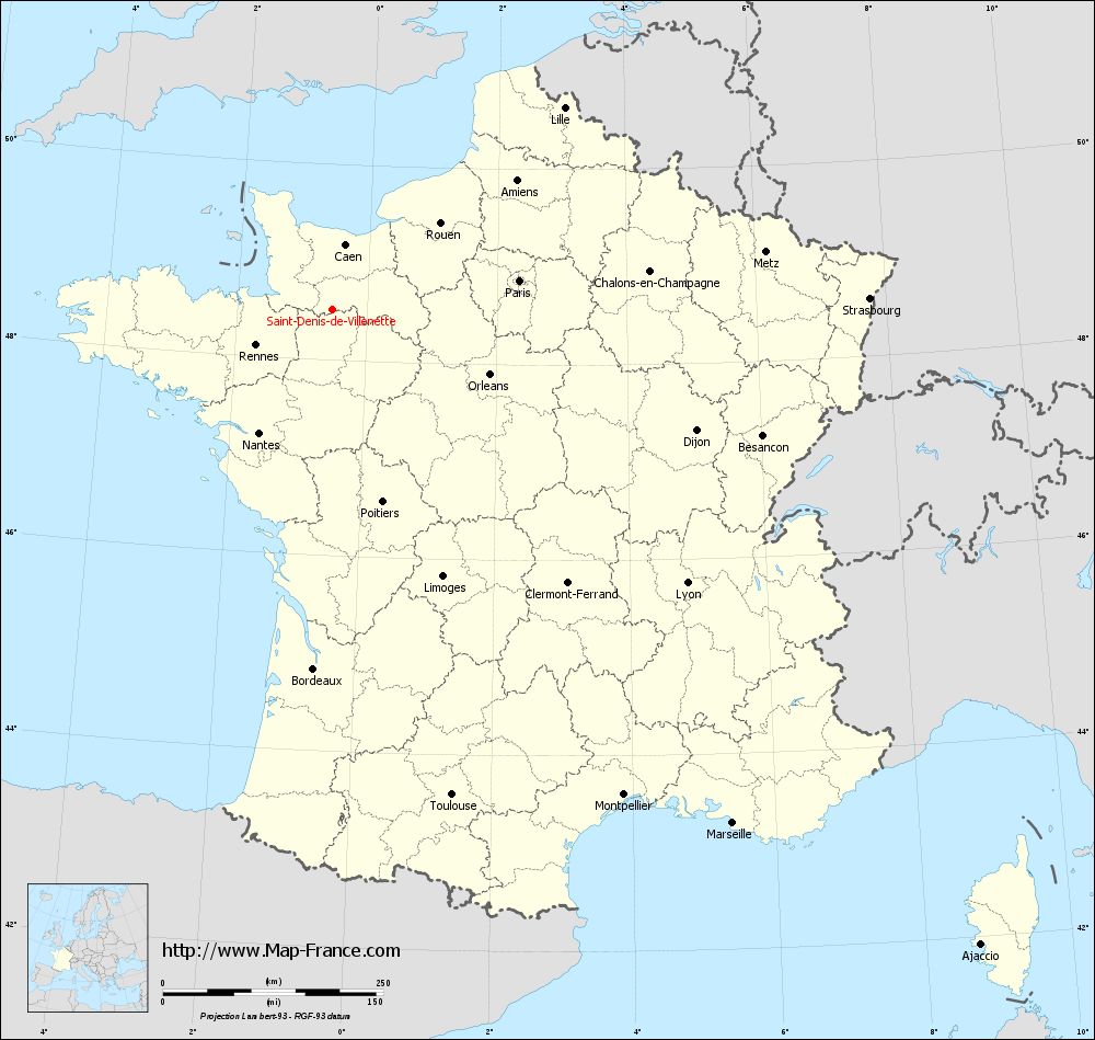
Map of Saint-Denis-de-Villenette with regions and prefectures
|
View the map of Saint-Denis-de-Villenette in full screen (1000 x 949)
|
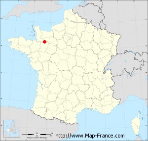
You will find the location of Saint-Denis-de-Villenette on the map of France of regions in Lambert 93 coordinates. The town of Saint-Denis-de-Villenette is located in the department of Orne of the french region Basse-Normandie.
Geographical sexagesimal coordinates / GPS (WGS84):
Latitude: 48° 30' 50'' North
Longitude: 00° 32' 22'' West
Geographical decimal coordinates :
Latitude: 48.515 degrees (48.515° North)
Longitude: -0.539 degrees (0.539° West)
Lambert 93 coordinates :
X: 4 387 hectometers
Y: 68 296 hectometers
Lambert 2 coordinates :
X: 3 875 hectometers
Y: 23 945 hectometers
Below, the geographical coordinates of Alençon, prefecture of the Orne department:
Geographical sexagesimal coordinates / GPS (WGS84):
Latitude: 48° 25' 47'' North
Longitude: 00° 05' 31'' East
Geographical decimal coordinates :
Latitude: 48.433 degrees (48.433° North)
Longitude: 0.089 degrees (0.089° East)
Lambert 93 coordinates :
X: 4 849 hectometers
Y: 68 183 hectometers
Lambert 2 coordinates :
X: 4 339 hectometers
Y: 23 836 hectometers
|
This map of Saint-Denis-de-Villenette is reusable and modifiable by making a link to this page of the Map-France.com website or by using the given code :
|
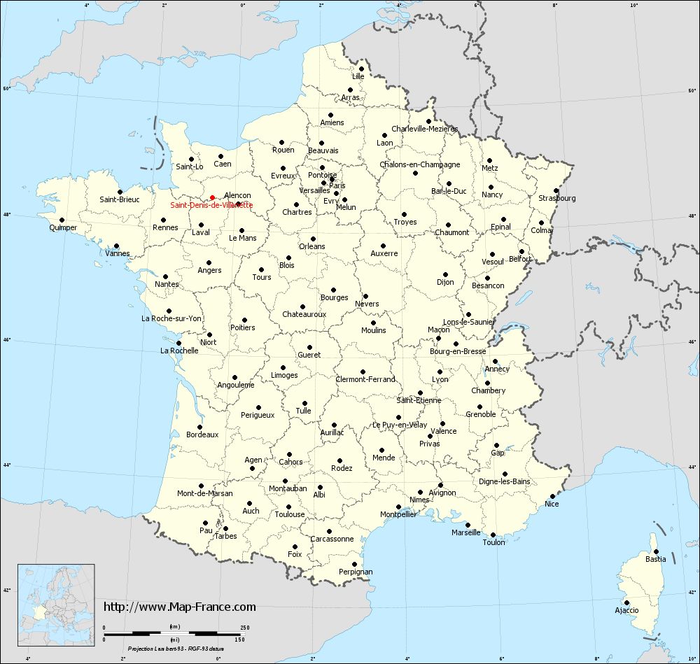
Map of Saint-Denis-de-Villenette with departments and prefectures
|
Voir la carte of Saint-Denis-de-Villenette en grand format (1000 x 949)
|
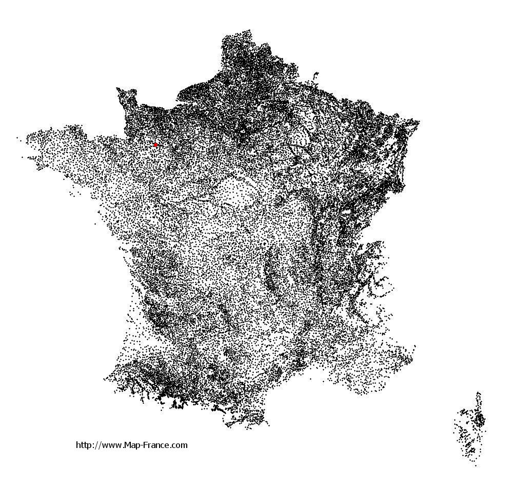
Here is the localization of Saint-Denis-de-Villenette on the France map of departments in Lambert 93 coordinates. The city of Saint-Denis-de-Villenette is shown on the map by a red point.
The town of Saint-Denis-de-Villenette is located in the department of Orne of the french region Basse-Normandie.
The latitude of Saint-Denis-de-Villenette is 48.515 degrees North.
The longitude of Saint-Denis-de-Villenette is 0.539 degrees West.
Here the distance between Saint-Denis-de-Villenette and the biggest cities of France:
Distances are calculated as the crow flies (orthodromic distance)
Distance between Saint-Denis-de-Villenette and Paris : 215.05 kilometers
Distance between Saint-Denis-de-Villenette and Marseille : 739.02 kilometers
Distance between Saint-Denis-de-Villenette and Lyon : 508.40 kilometers
Distance between Saint-Denis-de-Villenette and Toulouse : 567.17 kilometers
Distance between Saint-Denis-de-Villenette and Nice : 803.36 kilometers
Distance between Saint-Denis-de-Villenette and Nantes : 162.63 kilometers
Distance between Saint-Denis-de-Villenette and Strasbourg : 609.84 kilometers
Distance between Saint-Denis-de-Villenette and Montpellier : 642.32 kilometers
Distance between Saint-Denis-de-Villenette and Bordeaux : 407.99 kilometers
Distance between Saint-Denis-de-Villenette and Lille : 348.92 kilometers
Distance between Saint-Denis-de-Villenette and Rennes : 95.69 kilometers
Distance between Saint-Denis-de-Villenette and Reims : 343.91 kilometers
Clic here to see the map of Saint-Denis-de-Villenette in full screen:
Saint-Denis-de-Villenette on the map of french departments
|
This administrative map of Saint-Denis-de-Villenette is reusable and modifiable by making a link to this page of the Map-France.com website or by using the given code :
|
Administrative base maps of Saint-Denis-de-Villenette
|

See the administrative base map of Saint-Denis-de-Villenette in full screen (1000 x 949)
|
Small administrative base map of Saint-Denis-de-Villenette
|
This base map administrative of Saint-Denis-de-Villenette is reusable and modifiable by making a link to this page of the Map-France.com website or by using the given code :
|
 French Version : http://www.cartesfrance.fr