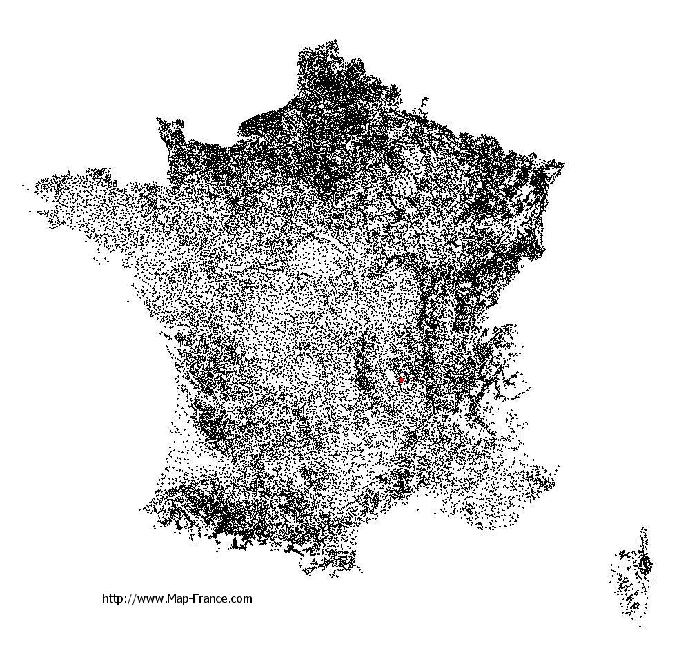
Saint-Georges-Haute-Ville on the relief France map in Lambert 93 coordinates
|

See the map of Saint-Georges-Haute-Ville in full screen (1000 x 949)
|
At left, here is the location of Saint-Georges-Haute-Ville on the relief France map in Lambert 93 coordinates.
Here are the altitudes of Saint-Georges-Haute-Ville :
- Town hall altitude of Saint-Georges-Haute-Ville is 440 meters
- Minimum altitude of Saint-Georges-Haute-Ville is 400 meters
- Maximum altitude of Saint-Georges-Haute-Ville is 655 meters
- Medium altitude of Saint-Georges-Haute-Ville is 528 meters
Here are the altitudes of Saint-Étienne, prefecture of Loire department:
- Town hall altitude of Saint-Étienne is 515 meters
- Minimum altitude of Saint-Étienne is 422 meters
- Maximum altitude of Saint-Étienne is 1 117 meters
- Medium altitude of Saint-Étienne is 770 meters
Here are the altitudes of the french biggest cities:
Paris : 33 meters
Marseille : 20 meters
Lyon : 237 meters
Toulouse : 146 meters
Nice : 10 meters
Nantes : 20 meters
Strasbourg : 144 meters
Montpellier : 35 meters
Bordeaux : 16 meters
Lille : 20 meters
Rennes : 35 meters
Reims : 83 meters
Click here for the terrain map of Saint-Georges-Haute-Ville in full screen:
Relief map of Saint-Georges-Haute-Ville
|
This relief map of Saint-Georges-Haute-Ville is reusable and modifiable by making a link to this page of the Map-France.com website or by using the given code :
|
Terrain base map of Saint-Georges-Haute-Ville
|

See the terrain base map of Saint-Georges-Haute-Ville in full screen (1000 x 949)
|
Small relief base map of Saint-Georges-Haute-Ville

|
This base map of Saint-Georges-Haute-Ville is reusable and modifiable by making a link to this page of the Map-France.com website or by using the given code :
|
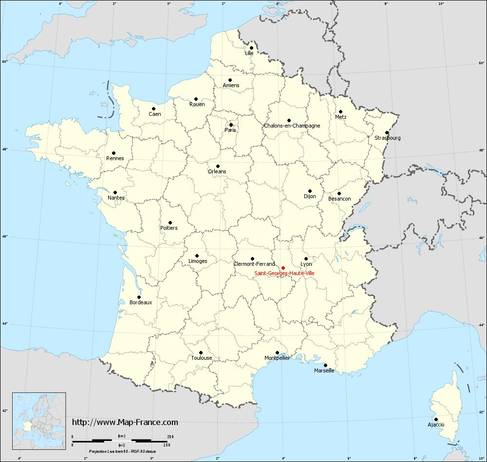
Map of Saint-Georges-Haute-Ville with regions and prefectures
|
View the map of Saint-Georges-Haute-Ville in full screen (1000 x 949)
|
You will find the location of Saint-Georges-Haute-Ville on the map of France of regions in Lambert 93 coordinates. The town of Saint-Georges-Haute-Ville is located in the department of Loire of the french region Rhône-Alpes.
Geographical sexagesimal coordinates / GPS (WGS84):
Latitude: 45° 33' 15'' North
Longitude: 04° 05' 55'' East
Geographical decimal coordinates :
Latitude: 45.554 degrees (45.554° North)
Longitude: 4.099 degrees (4.099° East)
Lambert 93 coordinates :
X: 7 857 hectometers
Y: 64 956 hectometers
Lambert 2 coordinates :
X: 7 376 hectometers
Y: 20 631 hectometers
Below, the geographical coordinates of Saint-Étienne, prefecture of the Loire department:
Geographical sexagesimal coordinates / GPS (WGS84):
Latitude: 45° 26' 02'' North
Longitude: 04° 23' 23'' East
Geographical decimal coordinates :
Latitude: 45.441 degrees (45.441° North)
Longitude: 4.39 degrees (4.39° East)
Lambert 93 coordinates :
X: 8 086 hectometers
Y: 64 825 hectometers
Lambert 2 coordinates :
X: 7 607 hectometers
Y: 20 502 hectometers
|
This map of Saint-Georges-Haute-Ville is reusable and modifiable by making a link to this page of the Map-France.com website or by using the given code :
|
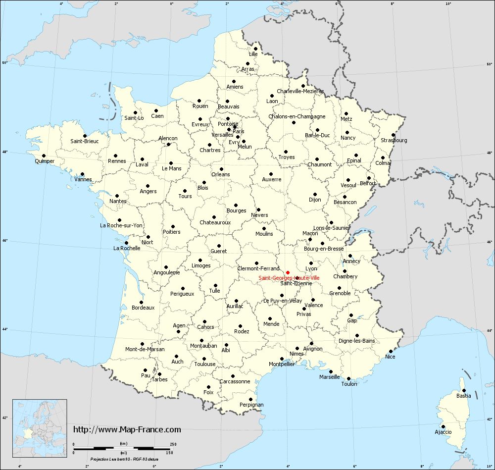
Map of Saint-Georges-Haute-Ville with departments and prefectures
|
Voir la carte of Saint-Georges-Haute-Ville en grand format (1000 x 949)
|
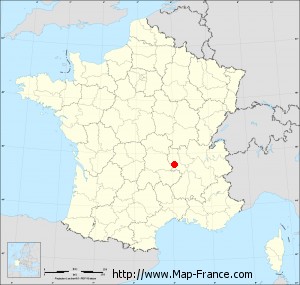
Here is the localization of Saint-Georges-Haute-Ville on the France map of departments in Lambert 93 coordinates. The city of Saint-Georges-Haute-Ville is shown on the map by a red point.
The town of Saint-Georges-Haute-Ville is located in the department of Loire of the french region Rhône-Alpes.
The latitude of Saint-Georges-Haute-Ville is 45.554 degrees North.
The longitude of Saint-Georges-Haute-Ville is 4.099 degrees East.
Here the distance between Saint-Georges-Haute-Ville and the biggest cities of France:
Distances are calculated as the crow flies (orthodromic distance)
Distance between Saint-Georges-Haute-Ville and Paris : 390.43 kilometers
Distance between Saint-Georges-Haute-Ville and Marseille : 271.16 kilometers
Distance between Saint-Georges-Haute-Ville and Lyon : 61.53 kilometers
Distance between Saint-Georges-Haute-Ville and Toulouse : 301.78 kilometers
Distance between Saint-Georges-Haute-Ville and Nice : 323.58 kilometers
Distance between Saint-Georges-Haute-Ville and Nantes : 470.91 kilometers
Distance between Saint-Georges-Haute-Ville and Strasbourg : 435.69 kilometers
Distance between Saint-Georges-Haute-Ville and Montpellier : 216.89 kilometers
Distance between Saint-Georges-Haute-Ville and Bordeaux : 374.30 kilometers
Distance between Saint-Georges-Haute-Ville and Lille : 569.10 kilometers
Distance between Saint-Georges-Haute-Ville and Rennes : 522.72 kilometers
Distance between Saint-Georges-Haute-Ville and Reims : 411.53 kilometers
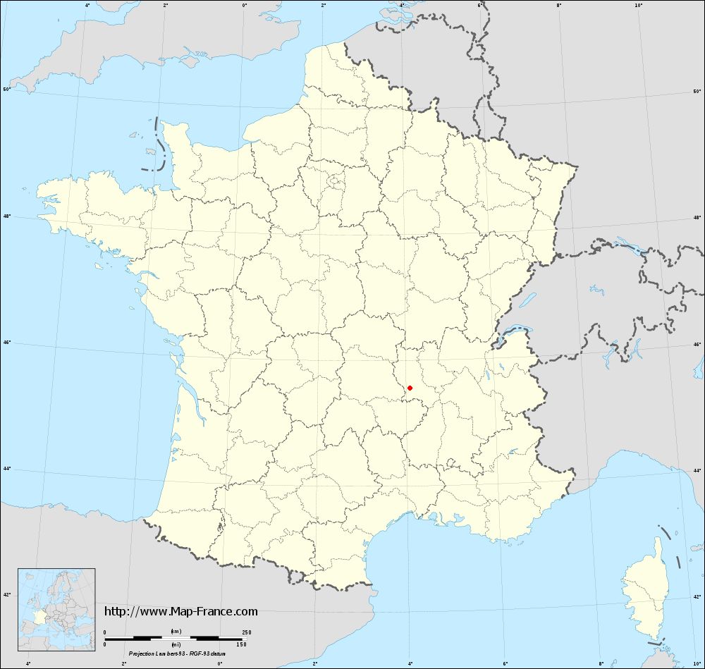
Clic here to see the map of Saint-Georges-Haute-Ville in full screen:
Saint-Georges-Haute-Ville on the map of french departments
|
This administrative map of Saint-Georges-Haute-Ville is reusable and modifiable by making a link to this page of the Map-France.com website or by using the given code :
|
Administrative base maps of Saint-Georges-Haute-Ville
|
See the administrative base map of Saint-Georges-Haute-Ville in full screen (1000 x 949)
|
Small administrative base map of Saint-Georges-Haute-Ville
|
This base map administrative of Saint-Georges-Haute-Ville is reusable and modifiable by making a link to this page of the Map-France.com website or by using the given code :
|
 French Version : http://www.cartesfrance.fr