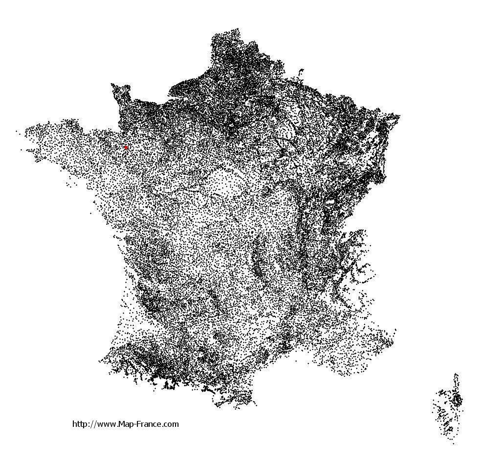
Saint-Georges-de-Chesné on the relief France map in Lambert 93 coordinates
|

See the map of Saint-Georges-de-Chesné in full screen (1000 x 949)
|
At left, here is the location of Saint-Georges-de-Chesné on the relief France map in Lambert 93 coordinates.
Here are the altitudes of Saint-Georges-de-Chesné :
- Town hall altitude of Saint-Georges-de-Chesné is 90 meters
- Minimum altitude of Saint-Georges-de-Chesné is 58 meters
- Maximum altitude of Saint-Georges-de-Chesné is 122 meters
- Medium altitude of Saint-Georges-de-Chesné is 90 meters
Here are the altitudes of Rennes, prefecture of Ille-et-Vilaine department:
- Town hall altitude of Rennes is 35 meters
- Minimum altitude of Rennes is 20 meters
- Maximum altitude of Rennes is 74 meters
- Medium altitude of Rennes is 47 meters
Here are the altitudes of the french biggest cities:
Paris : 33 meters
Marseille : 20 meters
Lyon : 237 meters
Toulouse : 146 meters
Nice : 10 meters
Nantes : 20 meters
Strasbourg : 144 meters
Montpellier : 35 meters
Bordeaux : 16 meters
Lille : 20 meters
Rennes : 35 meters
Reims : 83 meters
Click here for the terrain map of Saint-Georges-de-Chesné in full screen:
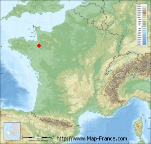
Relief map of Saint-Georges-de-Chesné
|
This relief map of Saint-Georges-de-Chesné is reusable and modifiable by making a link to this page of the Map-France.com website or by using the given code :
|
Terrain base map of Saint-Georges-de-Chesné
|

See the terrain base map of Saint-Georges-de-Chesné in full screen (1000 x 949)
|
Small relief base map of Saint-Georges-de-Chesné
|
This base map of Saint-Georges-de-Chesné is reusable and modifiable by making a link to this page of the Map-France.com website or by using the given code :
|
Map of Saint-Georges-de-Chesné with regions and prefectures
|
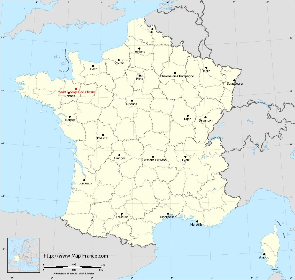
View the map of Saint-Georges-de-Chesné in full screen (1000 x 949)
|
You will find the location of Saint-Georges-de-Chesné on the map of France of regions in Lambert 93 coordinates. The town of Saint-Georges-de-Chesné is located in the department of Ille-et-Vilaine of the french region Bretagne.
Geographical sexagesimal coordinates / GPS (WGS84):
Latitude: 48° 16' 25'' North
Longitude: 01° 17' 29'' West
Geographical decimal coordinates :
Latitude: 48.273 degrees (48.273° North)
Longitude: -1.289 degrees (1.289° West)
Lambert 93 coordinates :
X: 3 818 hectometers
Y: 68 057 hectometers
Lambert 2 coordinates :
X: 3 307 hectometers
Y: 23 701 hectometers
Below, the geographical coordinates of Rennes, prefecture of the Ille-et-Vilaine department:
Geographical sexagesimal coordinates / GPS (WGS84):
Latitude: 48° 06' 51'' North
Longitude: 01° 40' 51'' West
Geographical decimal coordinates :
Latitude: 48.108 degrees (48.108° North)
Longitude: -1.68 degrees (1.68° West)
Lambert 93 coordinates :
X: 3 519 hectometers
Y: 67 896 hectometers
Lambert 2 coordinates :
X: 3 010 hectometers
Y: 23 538 hectometers
|
This map of Saint-Georges-de-Chesné is reusable and modifiable by making a link to this page of the Map-France.com website or by using the given code :
|
Map of Saint-Georges-de-Chesné with departments and prefectures
|
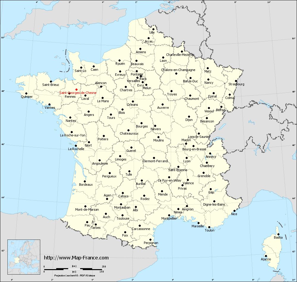
Voir la carte of Saint-Georges-de-Chesné en grand format (1000 x 949)
|
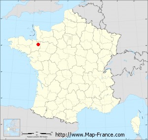
Here is the localization of Saint-Georges-de-Chesné on the France map of departments in Lambert 93 coordinates. The city of Saint-Georges-de-Chesné is shown on the map by a red point.
The town of Saint-Georges-de-Chesné is located in the department of Ille-et-Vilaine of the french region Bretagne.
The latitude of Saint-Georges-de-Chesné is 48.273 degrees North.
The longitude of Saint-Georges-de-Chesné is 1.289 degrees West.
Here the distance between Saint-Georges-de-Chesné and the biggest cities of France:
Distances are calculated as the crow flies (orthodromic distance)
Distance between Saint-Georges-de-Chesné and Paris : 275.10 kilometers
Distance between Saint-Georges-de-Chesné and Marseille : 757.16 kilometers
Distance between Saint-Georges-de-Chesné and Lyon : 541.20 kilometers
Distance between Saint-Georges-de-Chesné and Toulouse : 560.57 kilometers
Distance between Saint-Georges-de-Chesné and Nice : 831.76 kilometers
Distance between Saint-Georges-de-Chesné and Nantes : 118.72 kilometers
Distance between Saint-Georges-de-Chesné and Strasbourg : 667.35 kilometers
Distance between Saint-Georges-de-Chesné and Montpellier : 653.64 kilometers
Distance between Saint-Georges-de-Chesné and Bordeaux : 384.94 kilometers
Distance between Saint-Georges-de-Chesné and Lille : 407.89 kilometers
Distance between Saint-Georges-de-Chesné and Rennes : 34.28 kilometers
Distance between Saint-Georges-de-Chesné and Reims : 404.64 kilometers
Clic here to see the map of Saint-Georges-de-Chesné in full screen:
Saint-Georges-de-Chesné on the map of french departments
|
This administrative map of Saint-Georges-de-Chesné is reusable and modifiable by making a link to this page of the Map-France.com website or by using the given code :
|
Administrative base maps of Saint-Georges-de-Chesné
|

See the administrative base map of Saint-Georges-de-Chesné in full screen (1000 x 949)
|
Small administrative base map of Saint-Georges-de-Chesné
|
This base map administrative of Saint-Georges-de-Chesné is reusable and modifiable by making a link to this page of the Map-France.com website or by using the given code :
|
 French Version : http://www.cartesfrance.fr