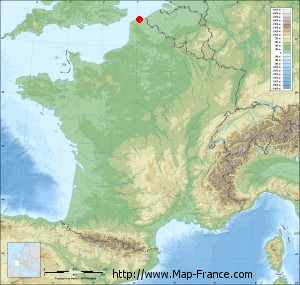
Saint-Georges-sur-l'Aa on the relief France map in Lambert 93 coordinates
|

See the map of Saint-Georges-sur-l'Aa in full screen (1000 x 949)
|
At left, here is the location of Saint-Georges-sur-l'Aa on the relief France map in Lambert 93 coordinates.
Here are the altitudes of Saint-Georges-sur-l'Aa :
- Town hall altitude of Saint-Georges-sur-l'Aa is 3 meters
- Minimum altitude of Saint-Georges-sur-l'Aa is 1 meters
- Maximum altitude of Saint-Georges-sur-l'Aa is 6 meters
- Medium altitude of Saint-Georges-sur-l'Aa is 4 meters
Here are the altitudes of Lille, prefecture of Nord department:
- Town hall altitude of Lille is 20 meters
- Minimum altitude of Lille is 17 meters
- Maximum altitude of Lille is 45 meters
- Medium altitude of Lille is 31 meters
Here are the altitudes of the french biggest cities:
Paris : 33 meters
Marseille : 20 meters
Lyon : 237 meters
Toulouse : 146 meters
Nice : 10 meters
Nantes : 20 meters
Strasbourg : 144 meters
Montpellier : 35 meters
Bordeaux : 16 meters
Lille : 20 meters
Rennes : 35 meters
Reims : 83 meters
Click here for the terrain map of Saint-Georges-sur-l'Aa in full screen:
Relief map of Saint-Georges-sur-l%27Aa
|
This relief map of Saint-Georges-sur-l'Aa is reusable and modifiable by making a link to this page of the Map-France.com website or by using the given code :
|
Terrain base map of Saint-Georges-sur-l'Aa
|

See the terrain base map of Saint-Georges-sur-l'Aa in full screen (1000 x 949)
|
Small relief base map of Saint-Georges-sur-l'Aa
|
This base map of Saint-Georges-sur-l'Aa is reusable and modifiable by making a link to this page of the Map-France.com website or by using the given code :
|
Map of Saint-Georges-sur-l'Aa with regions and prefectures
|
View the map of Saint-Georges-sur-l'Aa in full screen (1000 x 949)
|
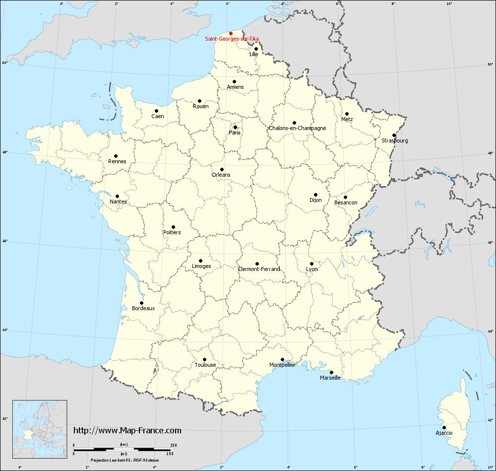
You will find the location of Saint-Georges-sur-l'Aa on the map of France of regions in Lambert 93 coordinates. The town of Saint-Georges-sur-l'Aa is located in the department of Nord of the french region Nord-Pas-de-Calais.
Geographical sexagesimal coordinates / GPS (WGS84):
Latitude: 50° 58' 07'' North
Longitude: 02° 09' 49'' East
Geographical decimal coordinates :
Latitude: 50.969 degrees (50.969° North)
Longitude: 2.165 degrees (2.165° East)
Lambert 93 coordinates :
X: 6 411 hectometers
Y: 70 973 hectometers
Lambert 2 coordinates :
X: 5 878 hectometers
Y: 26 639 hectometers
Below, the geographical coordinates of Lille, prefecture of the Nord department:
Geographical sexagesimal coordinates / GPS (WGS84):
Latitude: 50° 37' 55'' North
Longitude: 03° 03' 27'' East
Geographical decimal coordinates :
Latitude: 50.628 degrees (50.628° North)
Longitude: 3.045 degrees (3.045° East)
Lambert 93 coordinates :
X: 7 041 hectometers
Y: 70 594 hectometers
Lambert 2 coordinates :
X: 6 511 hectometers
Y: 26 266 hectometers
|
This map of Saint-Georges-sur-l'Aa is reusable and modifiable by making a link to this page of the Map-France.com website or by using the given code :
|
Map of Saint-Georges-sur-l'Aa with departments and prefectures
|
Voir la carte of Saint-Georges-sur-l'Aa en grand format (1000 x 949)
|
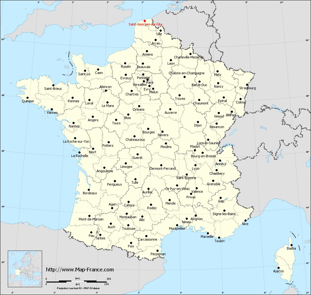
Here is the localization of Saint-Georges-sur-l'Aa on the France map of departments in Lambert 93 coordinates. The city of Saint-Georges-sur-l'Aa is shown on the map by a red point.
The town of Saint-Georges-sur-l'Aa is located in the department of Nord of the french region Nord-Pas-de-Calais.
The latitude of Saint-Georges-sur-l'Aa is 50.969 degrees North.
The longitude of Saint-Georges-sur-l'Aa is 2.165 degrees East.
Here the distance between Saint-Georges-sur-l'Aa and the biggest cities of France:
Distances are calculated as the crow flies (orthodromic distance)
Distance between Saint-Georges-sur-l'Aa and Paris : 234.58 kilometers
Distance between Saint-Georges-sur-l'Aa and Marseille : 886.49 kilometers
Distance between Saint-Georges-sur-l'Aa and Lyon : 611.29 kilometers
Distance between Saint-Georges-sur-l'Aa and Toulouse : 820.49 kilometers
Distance between Saint-Georges-sur-l'Aa and Nice : 893.04 kilometers
Distance between Saint-Georges-sur-l'Aa and Nantes : 496.62 kilometers
Distance between Saint-Georges-sur-l'Aa and Strasbourg : 480.52 kilometers
Distance between Saint-Georges-sur-l'Aa and Montpellier : 827.77 kilometers
Distance between Saint-Georges-sur-l'Aa and Bordeaux : 710.42 kilometers
Distance between Saint-Georges-sur-l'Aa and Lille : 72.46 kilometers
Distance between Saint-Georges-sur-l'Aa and Rennes : 421.69 kilometers
Distance between Saint-Georges-sur-l'Aa and Reims : 231.96 kilometers
Clic here to see the map of Saint-Georges-sur-l'Aa in full screen:
Saint-Georges-sur-l%27Aa on the map of french departments
|
This administrative map of Saint-Georges-sur-l'Aa is reusable and modifiable by making a link to this page of the Map-France.com website or by using the given code :
|
Administrative base maps of Saint-Georges-sur-l'Aa
|

See the administrative base map of Saint-Georges-sur-l'Aa in full screen (1000 x 949)
|
Small administrative base map of Saint-Georges-sur-l'Aa
|
This base map administrative of Saint-Georges-sur-l'Aa is reusable and modifiable by making a link to this page of the Map-France.com website or by using the given code :
|
 French Version : http://www.cartesfrance.fr