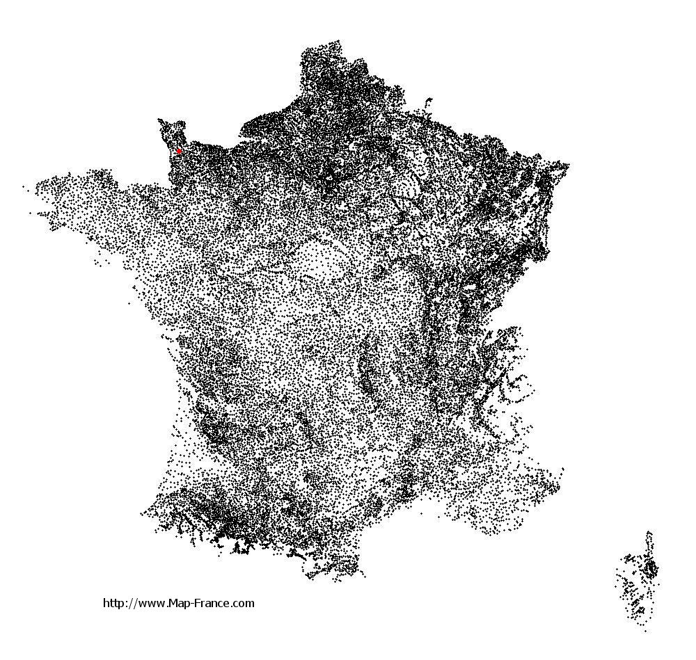
Saint-Germain-sur-Sèves on the relief France map in Lambert 93 coordinates
|

See the map of Saint-Germain-sur-Sèves in full screen (1000 x 949)
|
At left, here is the location of Saint-Germain-sur-Sèves on the relief France map in Lambert 93 coordinates.
Here are the altitudes of Saint-Germain-sur-Sèves :
- Town hall altitude of Saint-Germain-sur-Sèves is 10 meters
- Minimum altitude of Saint-Germain-sur-Sèves is 3 meters
- Maximum altitude of Saint-Germain-sur-Sèves is 19 meters
- Medium altitude of Saint-Germain-sur-Sèves is 11 meters
Here are the altitudes of Saint-Lô, prefecture of Manche department:
- Town hall altitude of Saint-Lô is 30 meters
- Minimum altitude of Saint-Lô is 7 meters
- Maximum altitude of Saint-Lô is 134 meters
- Medium altitude of Saint-Lô is 71 meters
Here are the altitudes of the french biggest cities:
Paris : 33 meters
Marseille : 20 meters
Lyon : 237 meters
Toulouse : 146 meters
Nice : 10 meters
Nantes : 20 meters
Strasbourg : 144 meters
Montpellier : 35 meters
Bordeaux : 16 meters
Lille : 20 meters
Rennes : 35 meters
Reims : 83 meters
Click here for the terrain map of Saint-Germain-sur-Sèves in full screen:
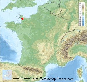
Relief map of Saint-Germain-sur-Sèves
|
This relief map of Saint-Germain-sur-Sèves is reusable and modifiable by making a link to this page of the Map-France.com website or by using the given code :
|
Terrain base map of Saint-Germain-sur-Sèves
|

See the terrain base map of Saint-Germain-sur-Sèves in full screen (1000 x 949)
|
Small relief base map of Saint-Germain-sur-Sèves
|
This base map of Saint-Germain-sur-Sèves is reusable and modifiable by making a link to this page of the Map-France.com website or by using the given code :
|
Map of Saint-Germain-sur-Sèves with regions and prefectures
|
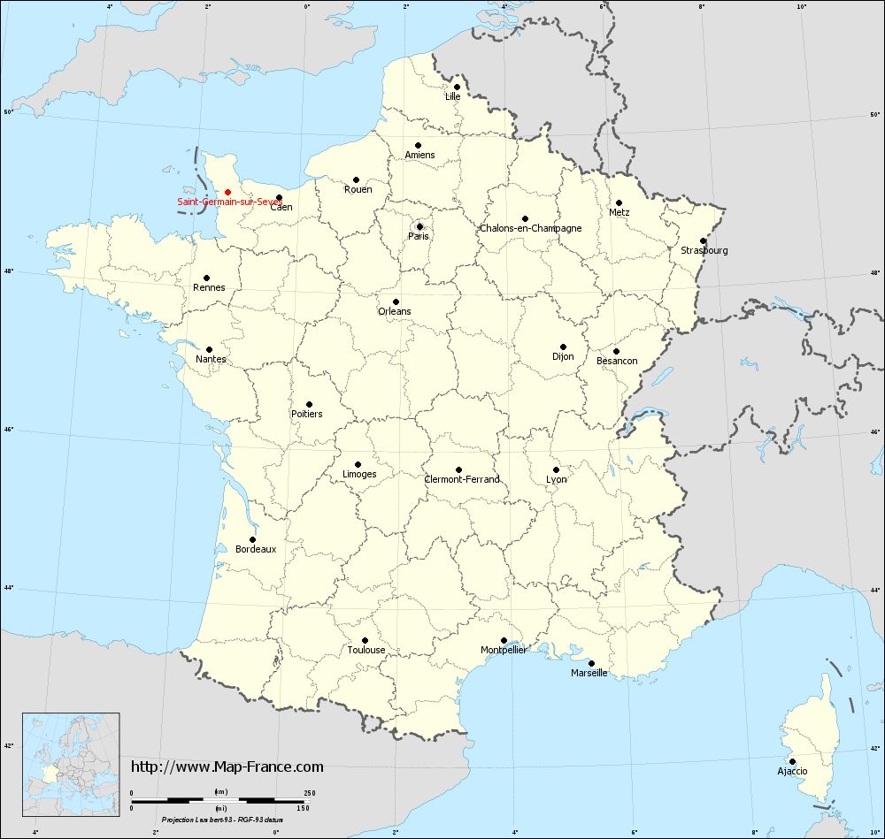
View the map of Saint-Germain-sur-Sèves in full screen (1000 x 949)
|
You will find the location of Saint-Germain-sur-Sèves on the map of France of regions in Lambert 93 coordinates. The town of Saint-Germain-sur-Sèves is located in the department of Manche of the french region Basse-Normandie.
Geographical sexagesimal coordinates / GPS (WGS84):
Latitude: 49° 13' 18'' North
Longitude: 01° 22' 15'' West
Geographical decimal coordinates :
Latitude: 49.222 degrees (49.222° North)
Longitude: -1.371 degrees (1.371° West)
Lambert 93 coordinates :
X: 3 817 hectometers
Y: 69 113 hectometers
Lambert 2 coordinates :
X: 3 298 hectometers
Y: 24 757 hectometers
Below, the geographical coordinates of Saint-Lô, prefecture of the Manche department:
Geographical sexagesimal coordinates / GPS (WGS84):
Latitude: 49° 06' 52'' North
Longitude: 01° 05' 30'' West
Geographical decimal coordinates :
Latitude: 49.114 degrees (49.114° North)
Longitude: -1.092 degrees (1.092° West)
Lambert 93 coordinates :
X: 4 014 hectometers
Y: 68 982 hectometers
Lambert 2 coordinates :
X: 3 496 hectometers
Y: 24 628 hectometers
|
This map of Saint-Germain-sur-Sèves is reusable and modifiable by making a link to this page of the Map-France.com website or by using the given code :
|
Map of Saint-Germain-sur-Sèves with departments and prefectures
|
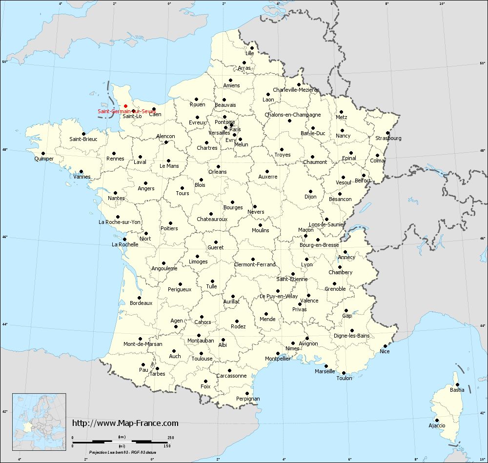
Voir la carte of Saint-Germain-sur-Sèves en grand format (1000 x 949)
|
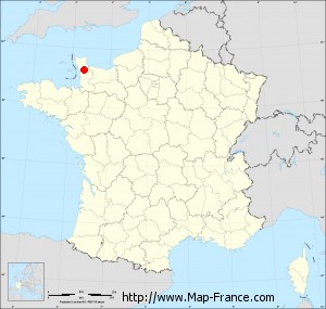
Here is the localization of Saint-Germain-sur-Sèves on the France map of departments in Lambert 93 coordinates. The city of Saint-Germain-sur-Sèves is shown on the map by a red point.
The town of Saint-Germain-sur-Sèves is located in the department of Manche of the french region Basse-Normandie.
The latitude of Saint-Germain-sur-Sèves is 49.222 degrees North.
The longitude of Saint-Germain-sur-Sèves is 1.371 degrees West.
Here the distance between Saint-Germain-sur-Sèves and the biggest cities of France:
Distances are calculated as the crow flies (orthodromic distance)
Distance between Saint-Germain-sur-Sèves and Paris : 273.60 kilometers
Distance between Saint-Germain-sur-Sèves and Marseille : 838.24 kilometers
Distance between Saint-Germain-sur-Sèves and Lyon : 603.85 kilometers
Distance between Saint-Germain-sur-Sèves and Toulouse : 660.89 kilometers
Distance between Saint-Germain-sur-Sèves and Nice : 900.14 kilometers
Distance between Saint-Germain-sur-Sèves and Nantes : 222.99 kilometers
Distance between Saint-Germain-sur-Sèves and Strasbourg : 669.88 kilometers
Distance between Saint-Germain-sur-Sèves and Montpellier : 741.48 kilometers
Distance between Saint-Germain-sur-Sèves and Bordeaux : 490.29 kilometers
Distance between Saint-Germain-sur-Sèves and Lille : 352.24 kilometers
Distance between Saint-Germain-sur-Sèves and Rennes : 125.92 kilometers
Distance between Saint-Germain-sur-Sèves and Reims : 391.79 kilometers
Clic here to see the map of Saint-Germain-sur-Sèves in full screen:
Saint-Germain-sur-Sèves on the map of french departments
|
This administrative map of Saint-Germain-sur-Sèves is reusable and modifiable by making a link to this page of the Map-France.com website or by using the given code :
|
Administrative base maps of Saint-Germain-sur-Sèves
|

See the administrative base map of Saint-Germain-sur-Sèves in full screen (1000 x 949)
|
Small administrative base map of Saint-Germain-sur-Sèves
|
This base map administrative of Saint-Germain-sur-Sèves is reusable and modifiable by making a link to this page of the Map-France.com website or by using the given code :
|
 French Version : http://www.cartesfrance.fr