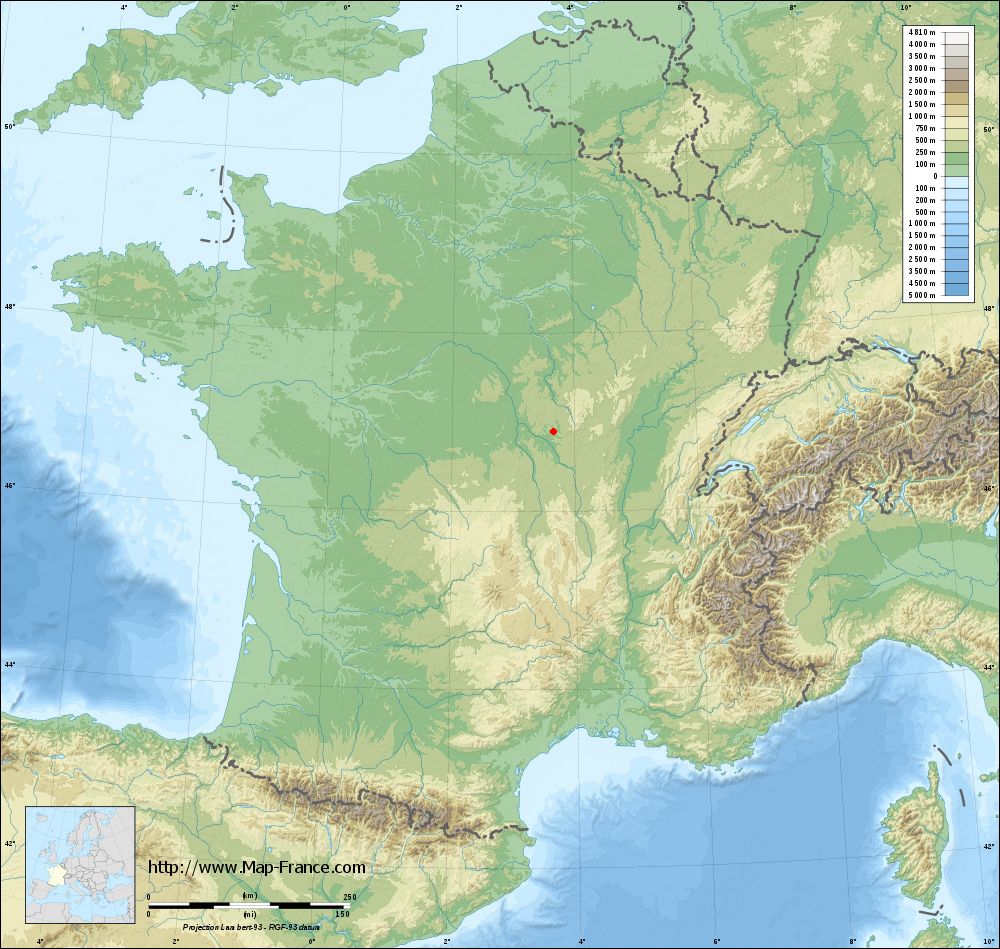
Saint-Gratien-Savigny on the relief France map in Lambert 93 coordinates
|

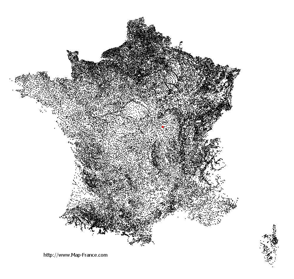
See the map of Saint-Gratien-Savigny in full screen (1000 x 949)
|
At left, here is the location of Saint-Gratien-Savigny on the relief France map in Lambert 93 coordinates.
Here are the altitudes of Saint-Gratien-Savigny :
- Town hall altitude of Saint-Gratien-Savigny is 240 meters
- Minimum altitude of Saint-Gratien-Savigny is 196 meters
- Maximum altitude of Saint-Gratien-Savigny is 263 meters
- Medium altitude of Saint-Gratien-Savigny is 230 meters
Here are the altitudes of Nevers, prefecture of Nièvre department:
- Town hall altitude of Nevers is 201 meters
- Minimum altitude of Nevers is 167 meters
- Maximum altitude of Nevers is 238 meters
- Medium altitude of Nevers is 203 meters
Here are the altitudes of the french biggest cities:
Paris : 33 meters
Marseille : 20 meters
Lyon : 237 meters
Toulouse : 146 meters
Nice : 10 meters
Nantes : 20 meters
Strasbourg : 144 meters
Montpellier : 35 meters
Bordeaux : 16 meters
Lille : 20 meters
Rennes : 35 meters
Reims : 83 meters
Click here for the terrain map of Saint-Gratien-Savigny in full screen:
Relief map of Saint-Gratien-Savigny
|
This relief map of Saint-Gratien-Savigny is reusable and modifiable by making a link to this page of the Map-France.com website or by using the given code :
|
Terrain base map of Saint-Gratien-Savigny
|
See the terrain base map of Saint-Gratien-Savigny in full screen (1000 x 949)
|
Small relief base map of Saint-Gratien-Savigny

|
This base map of Saint-Gratien-Savigny is reusable and modifiable by making a link to this page of the Map-France.com website or by using the given code :
|
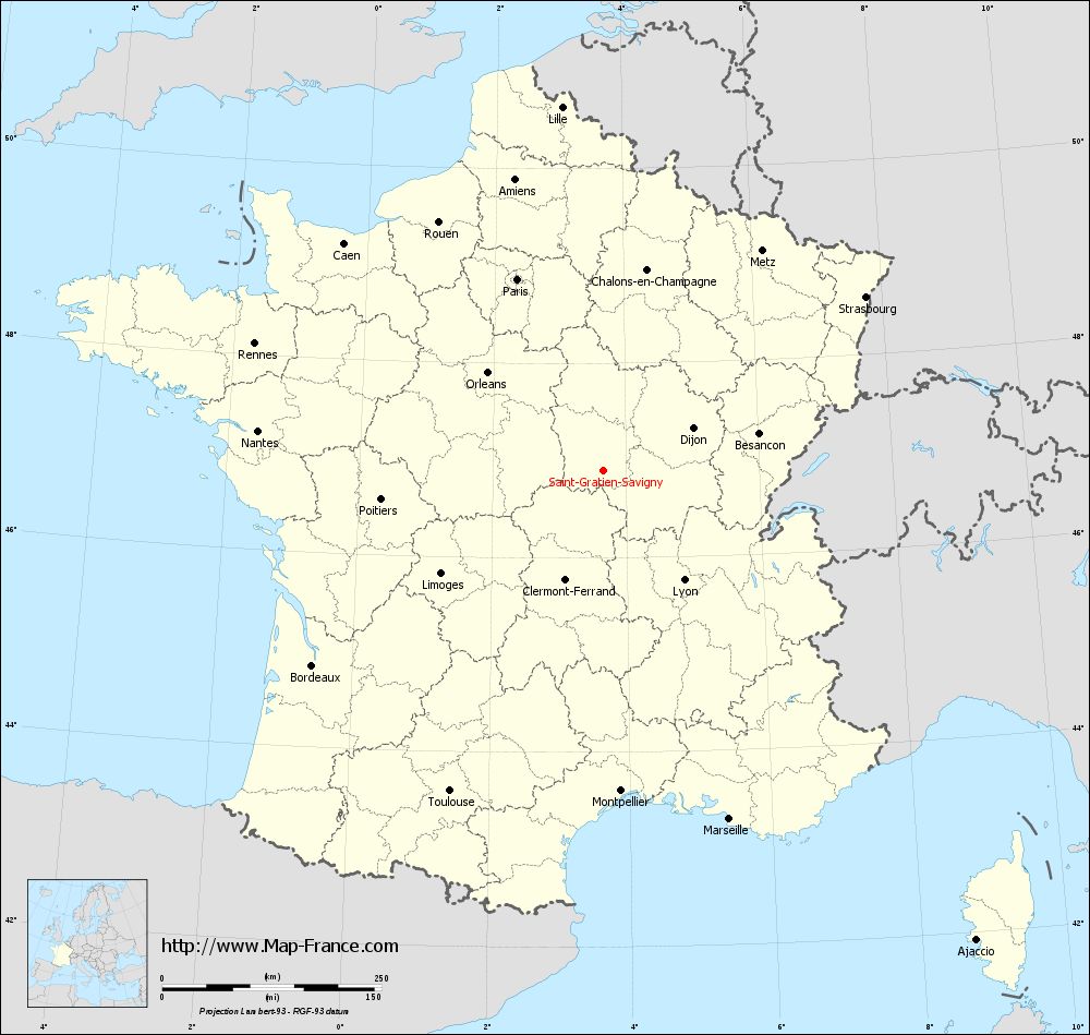
Map of Saint-Gratien-Savigny with regions and prefectures
|
View the map of Saint-Gratien-Savigny in full screen (1000 x 949)
|
You will find the location of Saint-Gratien-Savigny on the map of France of regions in Lambert 93 coordinates. The town of Saint-Gratien-Savigny is located in the department of Nièvre of the french region Bourgogne.
Geographical sexagesimal coordinates / GPS (WGS84):
Latitude: 46° 53' 47'' North
Longitude: 03° 40' 03'' East
Geographical decimal coordinates :
Latitude: 46.896 degrees (46.896° North)
Longitude: 3.667 degrees (3.667° East)
Lambert 93 coordinates :
X: 7 508 hectometers
Y: 66 442 hectometers
Lambert 2 coordinates :
X: 7 014 hectometers
Y: 22 116 hectometers
Below, the geographical coordinates of Nevers, prefecture of the Nièvre department:
Geographical sexagesimal coordinates / GPS (WGS84):
Latitude: 46° 59' 33'' North
Longitude: 03° 09' 24'' East
Geographical decimal coordinates :
Latitude: 46.994 degrees (46.994° North)
Longitude: 3.156 degrees (3.156° East)
Lambert 93 coordinates :
X: 7 119 hectometers
Y: 66 547 hectometers
Lambert 2 coordinates :
X: 6 624 hectometers
Y: 22 217 hectometers
|
This map of Saint-Gratien-Savigny is reusable and modifiable by making a link to this page of the Map-France.com website or by using the given code :
|
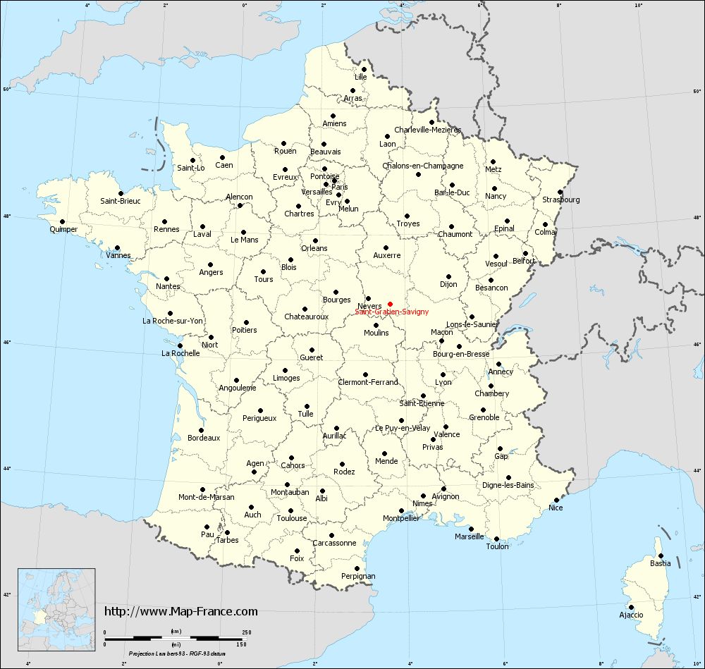
Map of Saint-Gratien-Savigny with departments and prefectures
|
Voir la carte of Saint-Gratien-Savigny en grand format (1000 x 949)
|
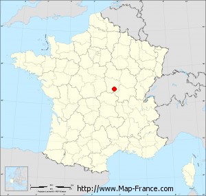
Here is the localization of Saint-Gratien-Savigny on the France map of departments in Lambert 93 coordinates. The city of Saint-Gratien-Savigny is shown on the map by a red point.
The town of Saint-Gratien-Savigny is located in the department of Nièvre of the french region Bourgogne.
The latitude of Saint-Gratien-Savigny is 46.896 degrees North.
The longitude of Saint-Gratien-Savigny is 3.667 degrees East.
Here the distance between Saint-Gratien-Savigny and the biggest cities of France:
Distances are calculated as the crow flies (orthodromic distance)
Distance between Saint-Gratien-Savigny and Paris : 239.44 kilometers
Distance between Saint-Gratien-Savigny and Marseille : 422.28 kilometers
Distance between Saint-Gratien-Savigny and Lyon : 154.81 kilometers
Distance between Saint-Gratien-Savigny and Toulouse : 405.20 kilometers
Distance between Saint-Gratien-Savigny and Nice : 452.18 kilometers
Distance between Saint-Gratien-Savigny and Nantes : 396.77 kilometers
Distance between Saint-Gratien-Savigny and Strasbourg : 358.38 kilometers
Distance between Saint-Gratien-Savigny and Montpellier : 365.62 kilometers
Distance between Saint-Gratien-Savigny and Bordeaux : 399.62 kilometers
Distance between Saint-Gratien-Savigny and Lille : 417.11 kilometers
Distance between Saint-Gratien-Savigny and Rennes : 423.26 kilometers
Distance between Saint-Gratien-Savigny and Reims : 263.78 kilometers
Clic here to see the map of Saint-Gratien-Savigny in full screen:
Saint-Gratien-Savigny on the map of french departments
|
This administrative map of Saint-Gratien-Savigny is reusable and modifiable by making a link to this page of the Map-France.com website or by using the given code :
|
Administrative base maps of Saint-Gratien-Savigny
|

See the administrative base map of Saint-Gratien-Savigny in full screen (1000 x 949)
|
Small administrative base map of Saint-Gratien-Savigny
|
This base map administrative of Saint-Gratien-Savigny is reusable and modifiable by making a link to this page of the Map-France.com website or by using the given code :
|
 French Version : http://www.cartesfrance.fr