|
|
|
|
|
|
Saint-Guinoux pictures
|
|
|
|
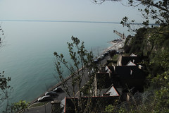
Photos of the town of Saint-Guinoux
|
These photos taken near the town of Saint-Guinoux can be shown in full screen clicking on the thumbnails. Photos are copyrighted by their owners.
| | |

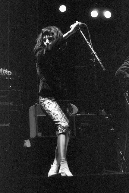
PJ Harvey, live at la Route du Rock 1998
|
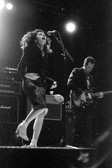
PJ Harvey, live at la Route du Rock 1998
|
| |

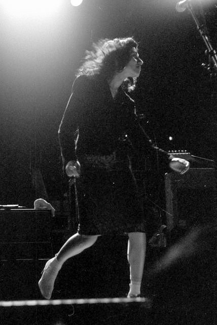
PJ Harvey, live at la Route du Rock 1998
|
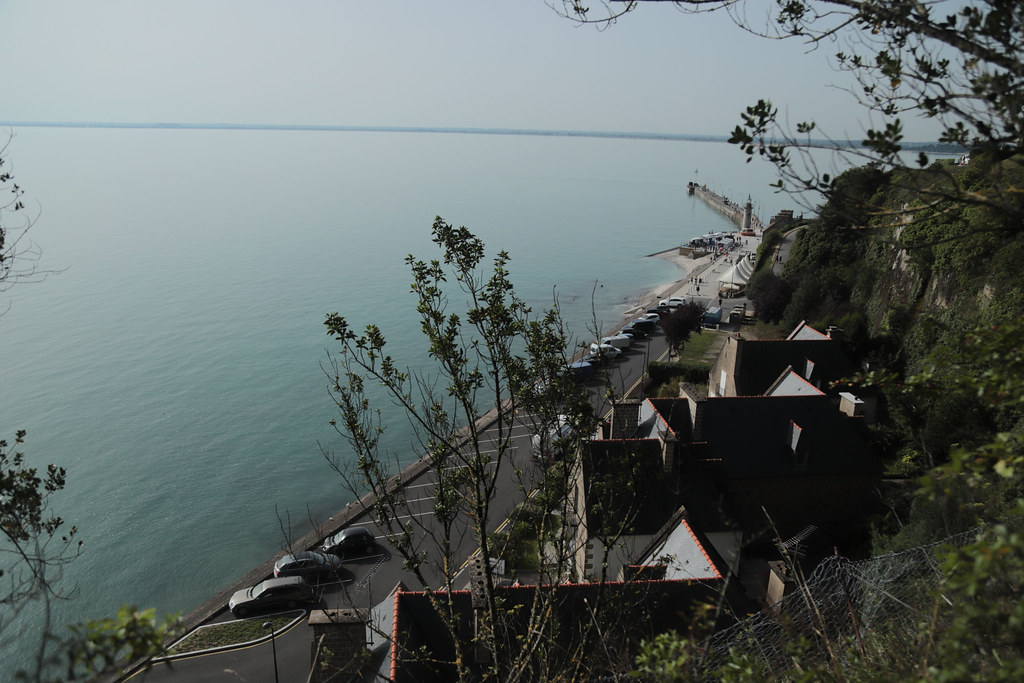
GR 34 | Rue des Parcs - Oyster Farm, Cancale
|
| |
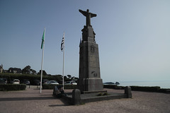
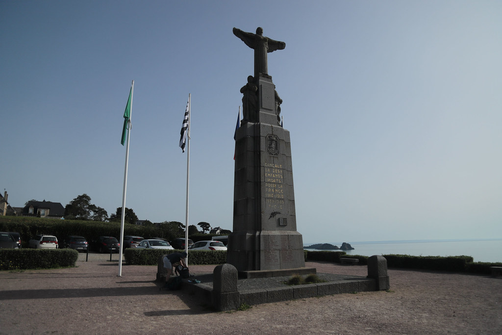
Monument aux morts de la pointe des Crolles, Cancale
|
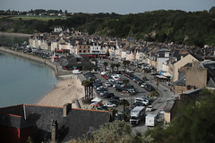
Port de la Houle, Cancale
|
| |
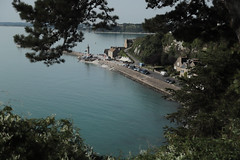
GR 34 | Le Hock - Oyster Farm, Cancale
|
![GR 34 | Path signage symbols [turn right here] - Photo of Saint-Guinoux](https://farm66.staticflickr.com/65535/53214936432_7d1008922e_m.jpg)
GR 34 | Path signage symbols [turn right here]
|
| |
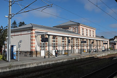
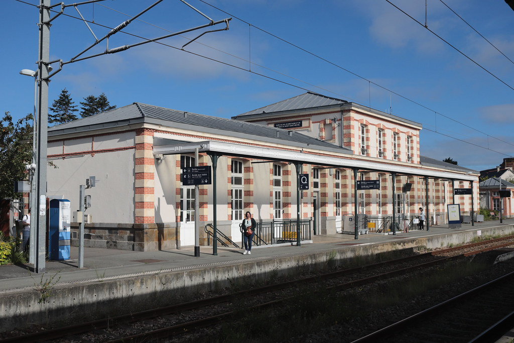
Gare Dol de Bretagne SNCF
|
![Rue Ceinte [see 1981 photos]. Dol de Bretagne, - Photo of Saint-Guinoux](https://farm66.staticflickr.com/65535/53214530046_62ded1e862_m.jpg)
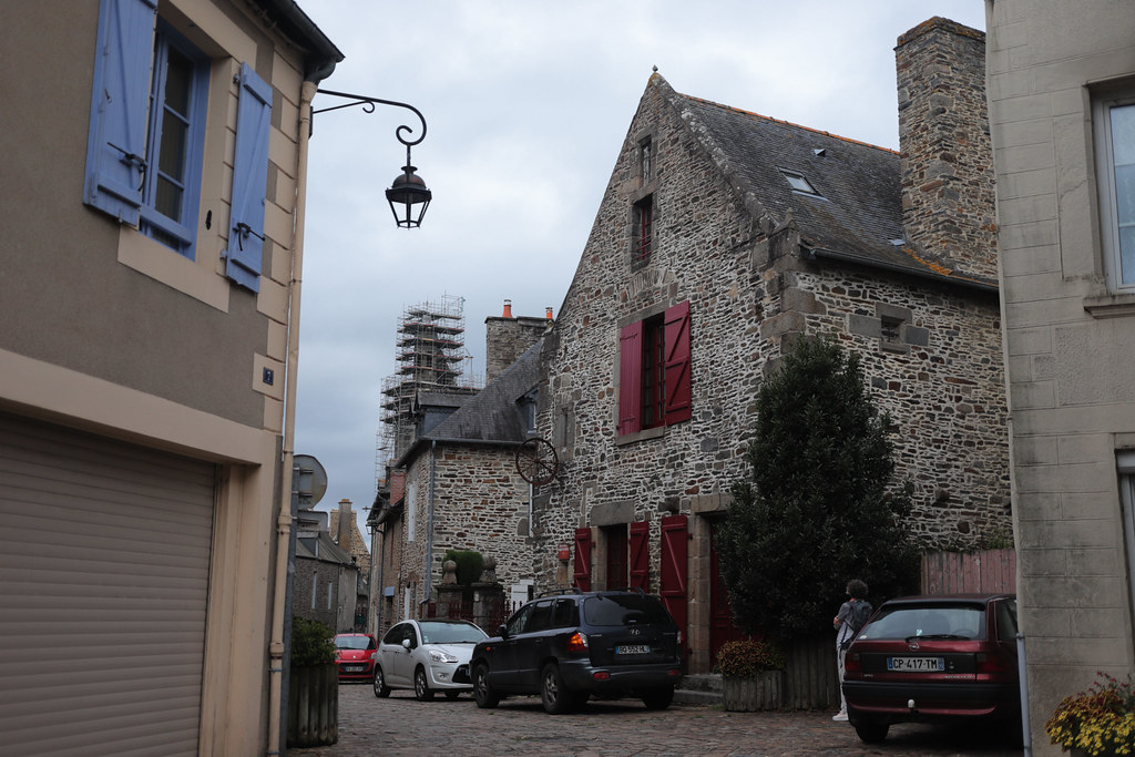
Rue Ceinte [see 1981 photos]. Dol de Bretagne,
|
| |
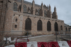
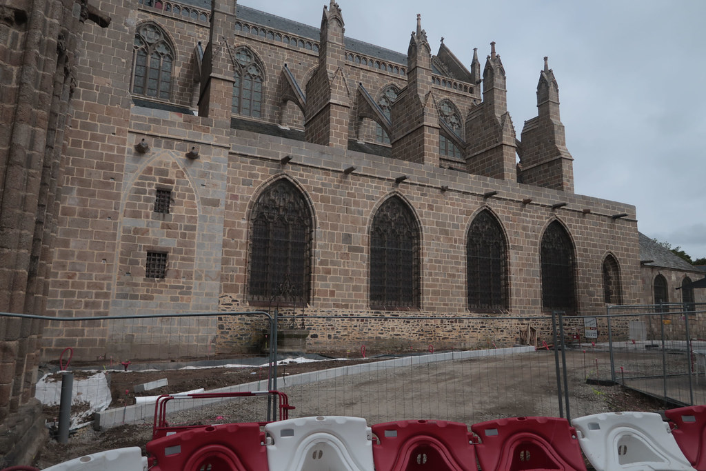
Cathédrale Saint-Samson under renovation, Dol de Bretagne
|

Manoir du Grand Chantre- Dol de Bretagne,
|
| |
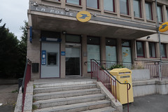
Post Office , Dol de Bretagne
|
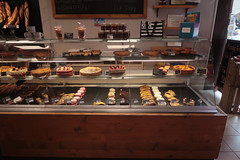
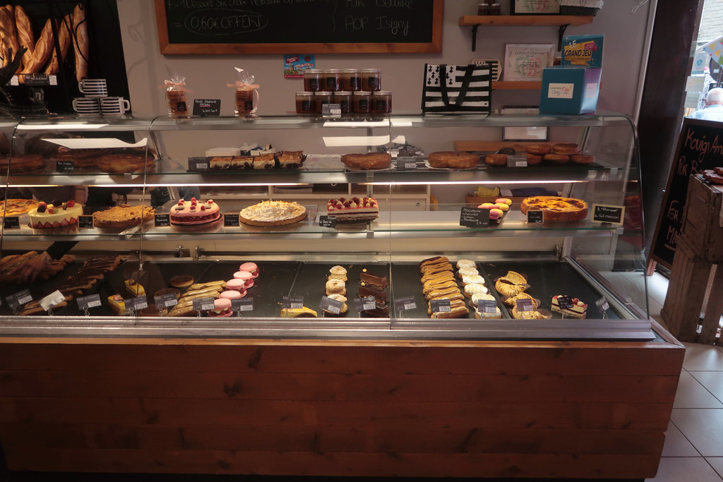
Boulangerie & Patisserie, Rue Auguste Lejamptel, Dol de Bretagne
|
Saint-Guinoux from the sky
|
|
Old photos of the town of Saint-Guinoux
|
These photos taken near the town of Saint-Guinoux can be shown in full screen clicking on the thumbnails. Photos are copyrighted by their owners.
|
|
Other maps, hotels and towns in france
Find another town, zip code, department, region, ...
Quick links Saint-Guinoux :
Back to the menus Map of France :
Make a link to this page of Saint-Guinoux with the following code :
|
|
Map of France | Regions | Departments | Cities | Partners | Terms | Contact
|


![GR 34 | Path signage symbols [turn right here] - Photo of Saint-Guinoux](https://farm66.staticflickr.com/65535/53214936432_7d1008922e_b.jpg)
![Rue Ceinte [see 1981 photos]. Dol de Bretagne, - Photo of Saint-Guinoux](https://farm66.staticflickr.com/65535/53214530046_62ded1e862_b.jpg)