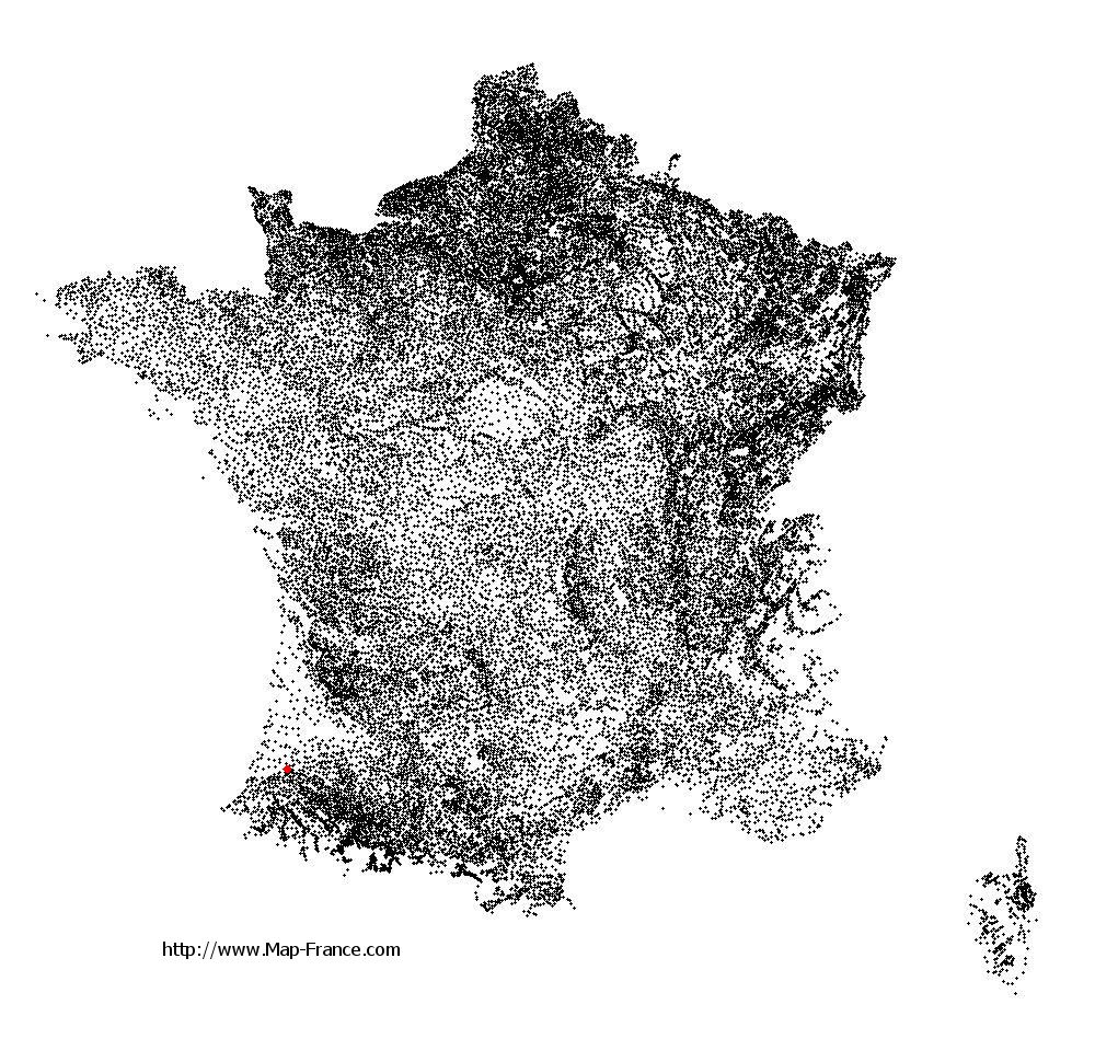
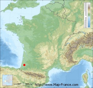
Saint-Jean-de-Lier on the relief France map in Lambert 93 coordinates
|

See the map of Saint-Jean-de-Lier in full screen (1000 x 949)
|
At left, here is the location of Saint-Jean-de-Lier on the relief France map in Lambert 93 coordinates.
Here are the altitudes of Saint-Jean-de-Lier :
- Town hall altitude of Saint-Jean-de-Lier is 12 meters
- Minimum altitude of Saint-Jean-de-Lier is 6 meters
- Maximum altitude of Saint-Jean-de-Lier is 43 meters
- Medium altitude of Saint-Jean-de-Lier is 25 meters
Here are the altitudes of Mont-de-Marsan, prefecture of Landes department:
- Town hall altitude of Mont-de-Marsan is 52 meters
- Minimum altitude of Mont-de-Marsan is 23 meters
- Maximum altitude of Mont-de-Marsan is 97 meters
- Medium altitude of Mont-de-Marsan is 60 meters
Here are the altitudes of the french biggest cities:
Paris : 33 meters
Marseille : 20 meters
Lyon : 237 meters
Toulouse : 146 meters
Nice : 10 meters
Nantes : 20 meters
Strasbourg : 144 meters
Montpellier : 35 meters
Bordeaux : 16 meters
Lille : 20 meters
Rennes : 35 meters
Reims : 83 meters
Click here for the terrain map of Saint-Jean-de-Lier in full screen:
Relief map of Saint-Jean-de-Lier
|
This relief map of Saint-Jean-de-Lier is reusable and modifiable by making a link to this page of the Map-France.com website or by using the given code :
|
Terrain base map of Saint-Jean-de-Lier
|

See the terrain base map of Saint-Jean-de-Lier in full screen (1000 x 949)
|
Small relief base map of Saint-Jean-de-Lier
|
This base map of Saint-Jean-de-Lier is reusable and modifiable by making a link to this page of the Map-France.com website or by using the given code :
|
Map of Saint-Jean-de-Lier with regions and prefectures
|
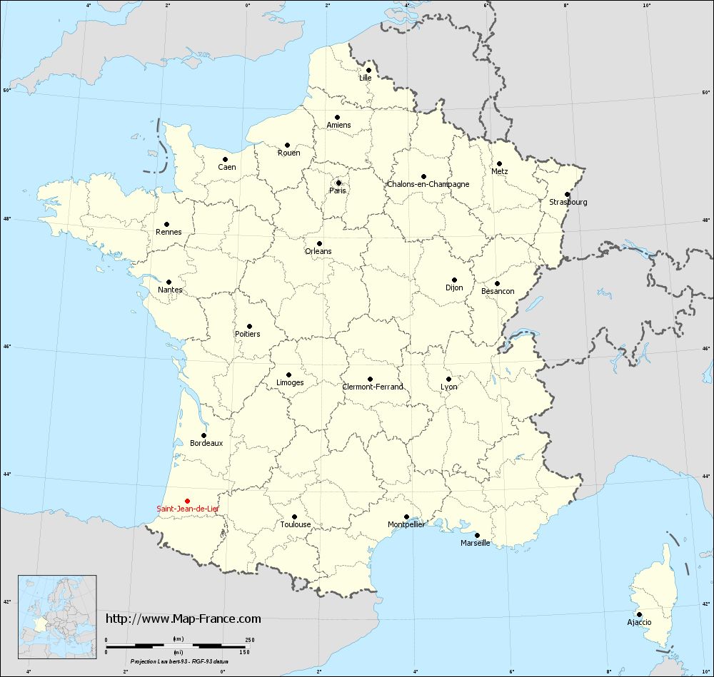
View the map of Saint-Jean-de-Lier in full screen (1000 x 949)
|
You will find the location of Saint-Jean-de-Lier on the map of France of regions in Lambert 93 coordinates. The town of Saint-Jean-de-Lier is located in the department of Landes of the french region Aquitaine.
Geographical sexagesimal coordinates / GPS (WGS84):
Latitude: 43° 47' 22'' North
Longitude: 00° 52' 43'' West
Geographical decimal coordinates :
Latitude: 43.791 degrees (43.791° North)
Longitude: -0.878 degrees (0.878° West)
Lambert 93 coordinates :
X: 3 879 hectometers
Y: 63 066 hectometers
Lambert 2 coordinates :
X: 3 410 hectometers
Y: 18 706 hectometers
Below, the geographical coordinates of Mont-de-Marsan, prefecture of the Landes department:
Geographical sexagesimal coordinates / GPS (WGS84):
Latitude: 43° 53' 25'' North
Longitude: 00° 30' 02'' West
Geographical decimal coordinates :
Latitude: 43.891 degrees (43.891° North)
Longitude: -0.501 degrees (0.501° West)
Lambert 93 coordinates :
X: 4 188 hectometers
Y: 63 164 hectometers
Lambert 2 coordinates :
X: 3 718 hectometers
Y: 18 807 hectometers
|
This map of Saint-Jean-de-Lier is reusable and modifiable by making a link to this page of the Map-France.com website or by using the given code :
|
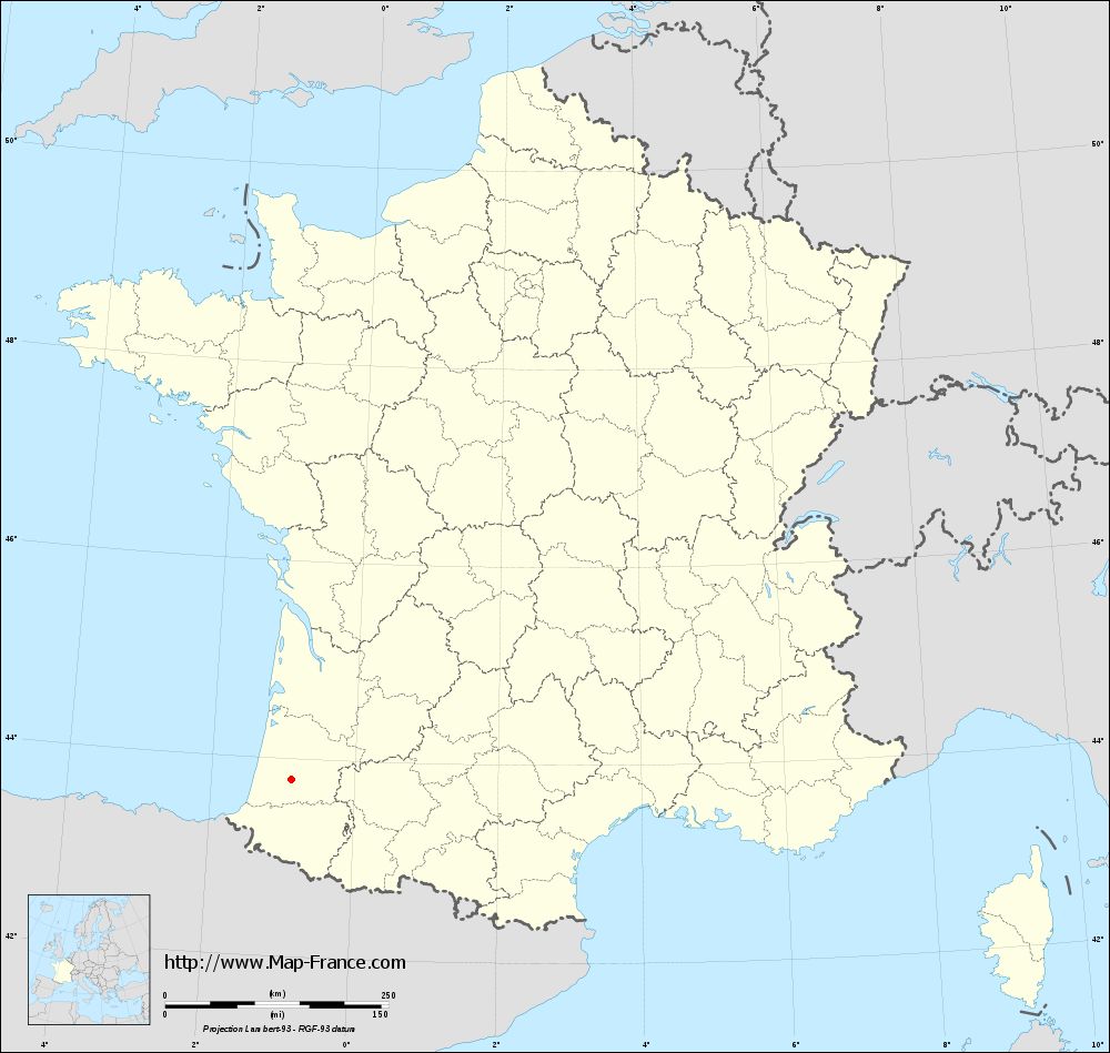
Map of Saint-Jean-de-Lier with departments and prefectures
|
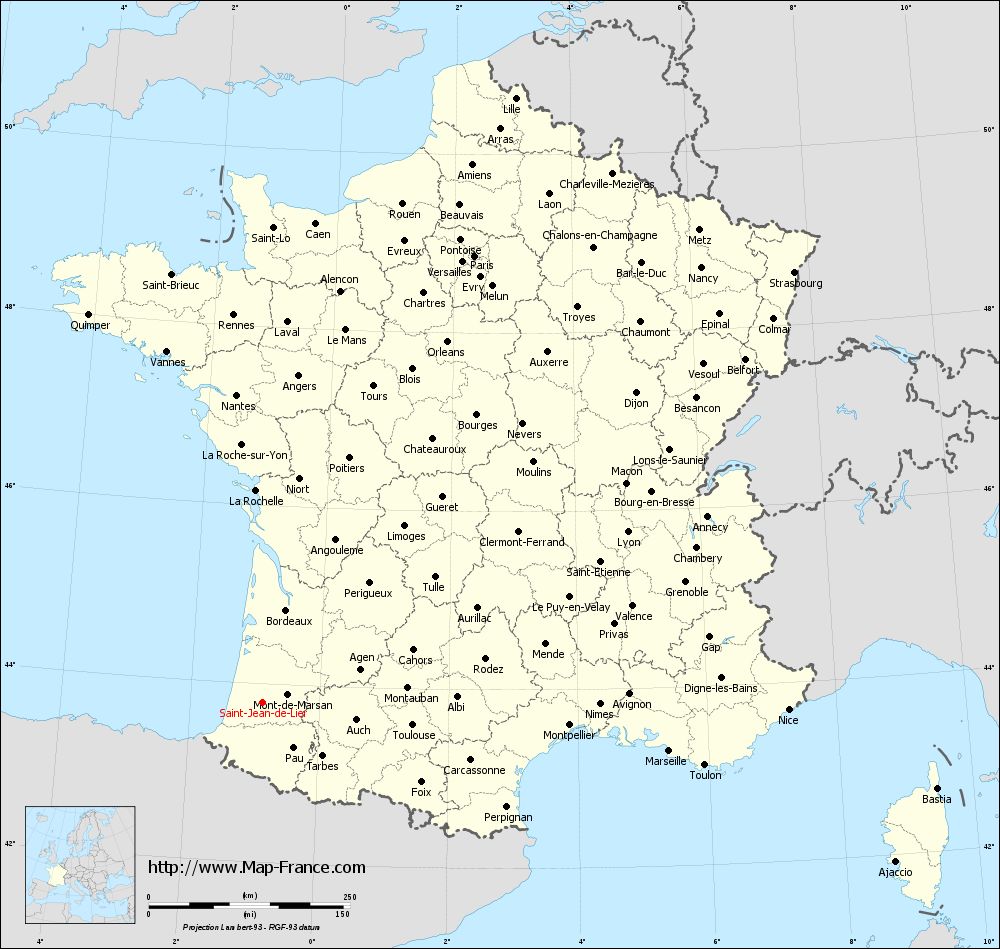
Voir la carte of Saint-Jean-de-Lier en grand format (1000 x 949)
|
Here is the localization of Saint-Jean-de-Lier on the France map of departments in Lambert 93 coordinates. The city of Saint-Jean-de-Lier is shown on the map by a red point.
The town of Saint-Jean-de-Lier is located in the department of Landes of the french region Aquitaine.
The latitude of Saint-Jean-de-Lier is 43.791 degrees North.
The longitude of Saint-Jean-de-Lier is 0.878 degrees West.
Here the distance between Saint-Jean-de-Lier and the biggest cities of France:
Distances are calculated as the crow flies (orthodromic distance)
Distance between Saint-Jean-de-Lier and Paris : 615.07 kilometers
Distance between Saint-Jean-de-Lier and Marseille : 508.38 kilometers
Distance between Saint-Jean-de-Lier and Lyon : 500.70 kilometers
Distance between Saint-Jean-de-Lier and Toulouse : 188.21 kilometers
Distance between Saint-Jean-de-Lier and Nice : 653.13 kilometers
Distance between Saint-Jean-de-Lier and Nantes : 384.53 kilometers
Distance between Saint-Jean-de-Lier and Strasbourg : 850.38 kilometers
Distance between Saint-Jean-de-Lier and Montpellier : 382.19 kilometers
Distance between Saint-Jean-de-Lier and Bordeaux : 119.36 kilometers
Distance between Saint-Jean-de-Lier and Lille : 815.02 kilometers
Distance between Saint-Jean-de-Lier and Rennes : 483.62 kilometers
Distance between Saint-Jean-de-Lier and Reims : 713.67 kilometers
Clic here to see the map of Saint-Jean-de-Lier in full screen:
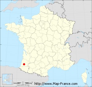
Saint-Jean-de-Lier on the map of french departments
|
This administrative map of Saint-Jean-de-Lier is reusable and modifiable by making a link to this page of the Map-France.com website or by using the given code :
|
Administrative base maps of Saint-Jean-de-Lier
|
See the administrative base map of Saint-Jean-de-Lier in full screen (1000 x 949)
|
Small administrative base map of Saint-Jean-de-Lier
|
This base map administrative of Saint-Jean-de-Lier is reusable and modifiable by making a link to this page of the Map-France.com website or by using the given code :
|
 French Version : http://www.cartesfrance.fr