Map of France

Saint-Jores photos


Find a town, a zip code,
a department, a region... in France
I like Map-France.com !


Saint-Jores pictures


Here are the photos of the town of Saint-Jores and nearby towns. Saint-Jores is located in the department of Manche in the region of Basse-Normandie. You will find the satellite map of Saint-Jores under these photos.

To see photos of nearby towns of Saint-Jores, you can try the following links :
   - Photo of Prétot-Sainte-Suzanne (50250) : town located at 2.20 km
   - Photo of Coigny (50250) : town located at 3.58 km
   - Photo of Vindefontaine (50250) : town located at 3.59 km
   - Photo of Le Plessis-Lastelle (50250) : town located at 4.25 km
   - Photo of Lithaire (50250) : town located at 4.44 km
   - Photo of Baupte (50500) : town located at 4.62 km
   - Photo of Cretteville (50250) : town located at 5.31 km
   - Photo of Gorges (50190) : town located at 5.33 km
   - Photo of Houtteville (50250) : town located at 5.76 km
   - Photo of Appeville (50500) : town located at 6.16 km
   - Photo of Varenguebec (50250) : town located at 6.53 km
   - Photo of Beuzeville-la-Bastille (50360) : town located at 6.88 km

 - photos of the department prefecture of Manche : photos of Saint-Lô
 - pictures of others cities of Manche : Manche


To see Saint-Jores from the sky, here is the satellite map of the town of Saint-Jores : Saint-Jores map.

I like Saint-Jores !


Photos of the town of Saint-Jores

These photos taken near the town of Saint-Jores can be shown in full screen clicking on the thumbnails. Photos are copyrighted by their owners.

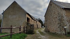
Le hameau de Longuerac - The hamlet of Longuerac - Photo of Saint-Jores
Le hameau de Longuerac - The hamlet of Longuerac

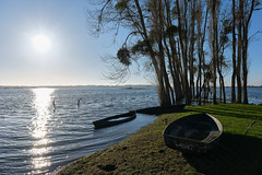
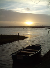
Le port de Carquebut - The port of Carquebut - Photo of Saint-Jores
Le port de Carquebut - The port of Carquebut

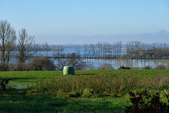
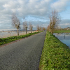
La vue sur les marais depuis les hauteurs de Picauville - View of the marshlands from the heights of Picauville - Photo of Saint-Jores
La vue sur les marais depuis les hauteurs de Picauville - View of the marshlands from the heights of Picauville

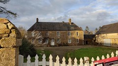
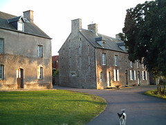
20210102_15h5718Ex_La Comterie - Photo of Saint-Jores
20210102_15h5718Ex_La Comterie

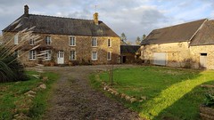
20210102_15h5738Ex_La Comterie - Photo of Saint-Jores
20210102_15h5738Ex_La Comterie

20210102_15h5128Ex_La Comterie - Photo of Saint-Jores
20210102_15h5128Ex_La Comterie

19440601_Porte - Photo of Saint-Jores
19440601_Porte

19440501_Pavé - Photo of Saint-Jores
19440501_Pavé

19440501_Poulailler - Photo of Saint-Jores
19440501_Poulailler

19420524_Procession - Photo of Saint-Jores
19420524_Procession

photo_00482 - Photo of Saint-Jores
photo_00482

flouc (108) - Photo of Saint-Jores
flouc (108)

P1000194 - Photo of Saint-Jores
P1000194

Le Port - Photo of Saint-Jores
Le Port


Saint-Jores from the sky


Old photos of the town of Saint-Jores

These photos taken near the town of Saint-Jores can be shown in full screen clicking on the thumbnails. Photos are copyrighted by their owners.


Other maps, hotels and towns in france


Find another town, zip code, department, region, ...


Quick links Saint-Jores :


Back to the menus Map of France :


Make a link to this page of Saint-Jores with the following code :


Map of France | Regions | Departments | Cities | Partners | Terms | Contact