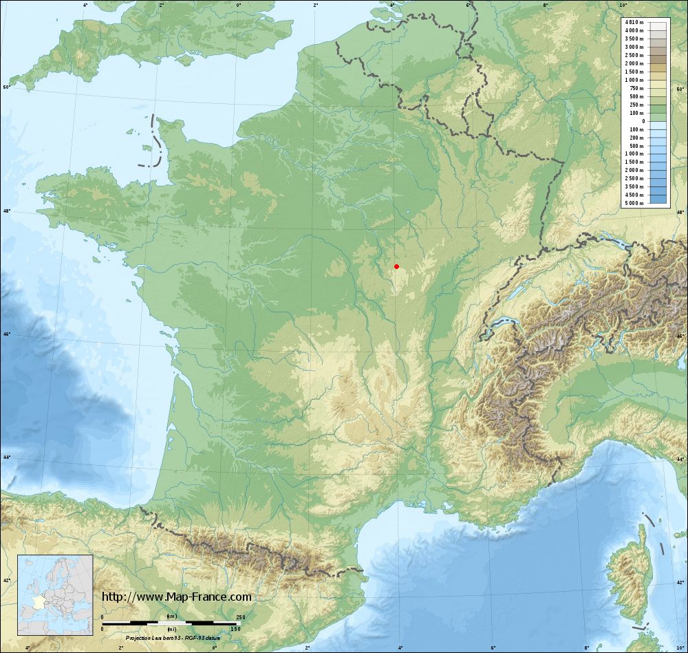
Saint-Léger-Vauban on the relief France map in Lambert 93 coordinates
|

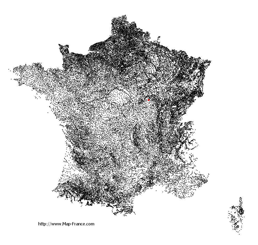
See the map of Saint-Léger-Vauban in full screen (1000 x 949)
|
At left, here is the location of Saint-Léger-Vauban on the relief France map in Lambert 93 coordinates.
Here are the altitudes of Saint-Léger-Vauban :
- Town hall altitude of Saint-Léger-Vauban is 440 meters
- Minimum altitude of Saint-Léger-Vauban is 325 meters
- Maximum altitude of Saint-Léger-Vauban is 566 meters
- Medium altitude of Saint-Léger-Vauban is 446 meters
Here are the altitudes of Auxerre, prefecture of Yonne department:
- Town hall altitude of Auxerre is 120 meters
- Minimum altitude of Auxerre is 93 meters
- Maximum altitude of Auxerre is 217 meters
- Medium altitude of Auxerre is 155 meters
Here are the altitudes of the french biggest cities:
Paris : 33 meters
Marseille : 20 meters
Lyon : 237 meters
Toulouse : 146 meters
Nice : 10 meters
Nantes : 20 meters
Strasbourg : 144 meters
Montpellier : 35 meters
Bordeaux : 16 meters
Lille : 20 meters
Rennes : 35 meters
Reims : 83 meters
Click here for the terrain map of Saint-Léger-Vauban in full screen:
Relief map of Saint-Léger-Vauban
|
This relief map of Saint-Léger-Vauban is reusable and modifiable by making a link to this page of the Map-France.com website or by using the given code :
|
Terrain base map of Saint-Léger-Vauban
|
See the terrain base map of Saint-Léger-Vauban in full screen (1000 x 949)
|
Small relief base map of Saint-Léger-Vauban

|
This base map of Saint-Léger-Vauban is reusable and modifiable by making a link to this page of the Map-France.com website or by using the given code :
|
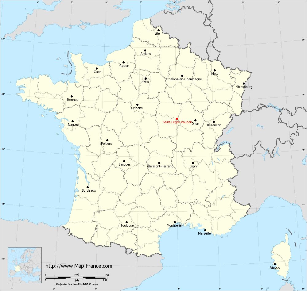
Map of Saint-Léger-Vauban with regions and prefectures
|
View the map of Saint-Léger-Vauban in full screen (1000 x 949)
|
You will find the location of Saint-Léger-Vauban on the map of France of regions in Lambert 93 coordinates. The town of Saint-Léger-Vauban is located in the department of Yonne of the french region Bourgogne.
Geographical sexagesimal coordinates / GPS (WGS84):
Latitude: 47° 23' 13'' North
Longitude: 04° 02' 27'' East
Geographical decimal coordinates :
Latitude: 47.389 degrees (47.389° North)
Longitude: 4.039 degrees (4.039° East)
Lambert 93 coordinates :
X: 7 785 hectometers
Y: 66 990 hectometers
Lambert 2 coordinates :
X: 7 287 hectometers
Y: 22 666 hectometers
Below, the geographical coordinates of Auxerre, prefecture of the Yonne department:
Geographical sexagesimal coordinates / GPS (WGS84):
Latitude: 47° 47' 51'' North
Longitude: 03° 34' 01'' East
Geographical decimal coordinates :
Latitude: 47.798 degrees (47.798° North)
Longitude: 3.571 degrees (3.571° East)
Lambert 93 coordinates :
X: 7 424 hectometers
Y: 67 443 hectometers
Lambert 2 coordinates :
X: 6 922 hectometers
Y: 23 116 hectometers
|
This map of Saint-Léger-Vauban is reusable and modifiable by making a link to this page of the Map-France.com website or by using the given code :
|
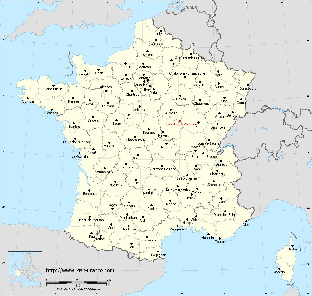
Map of Saint-Léger-Vauban with departments and prefectures
|
Voir la carte of Saint-Léger-Vauban en grand format (1000 x 949)
|
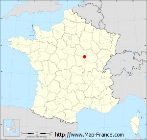
Here is the localization of Saint-Léger-Vauban on the France map of departments in Lambert 93 coordinates. The city of Saint-Léger-Vauban is shown on the map by a red point.
The town of Saint-Léger-Vauban is located in the department of Yonne of the french region Bourgogne.
The latitude of Saint-Léger-Vauban is 47.389 degrees North.
The longitude of Saint-Léger-Vauban is 4.039 degrees East.
Here the distance between Saint-Léger-Vauban and the biggest cities of France:
Distances are calculated as the crow flies (orthodromic distance)
Distance between Saint-Léger-Vauban and Paris : 206.18 kilometers
Distance between Saint-Léger-Vauban and Marseille : 466.81 kilometers
Distance between Saint-Léger-Vauban and Lyon : 190.93 kilometers
Distance between Saint-Léger-Vauban and Toulouse : 466.70 kilometers
Distance between Saint-Léger-Vauban and Nice : 479.82 kilometers
Distance between Saint-Léger-Vauban and Nantes : 421.72 kilometers
Distance between Saint-Léger-Vauban and Strasbourg : 306.60 kilometers
Distance between Saint-Léger-Vauban and Montpellier : 420.18 kilometers
Distance between Saint-Léger-Vauban and Bordeaux : 454.07 kilometers
Distance between Saint-Léger-Vauban and Lille : 367.11 kilometers
Distance between Saint-Léger-Vauban and Rennes : 434.57 kilometers
Distance between Saint-Léger-Vauban and Reims : 207.67 kilometers
Clic here to see the map of Saint-Léger-Vauban in full screen:
Saint-Léger-Vauban on the map of french departments
|
This administrative map of Saint-Léger-Vauban is reusable and modifiable by making a link to this page of the Map-France.com website or by using the given code :
|
Administrative base maps of Saint-Léger-Vauban
|

See the administrative base map of Saint-Léger-Vauban in full screen (1000 x 949)
|
Small administrative base map of Saint-Léger-Vauban
|
This base map administrative of Saint-Léger-Vauban is reusable and modifiable by making a link to this page of the Map-France.com website or by using the given code :
|
 French Version : http://www.cartesfrance.fr