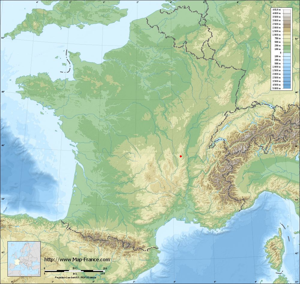
Saint-Marcel-l'Éclairé on the relief France map in Lambert 93 coordinates
|

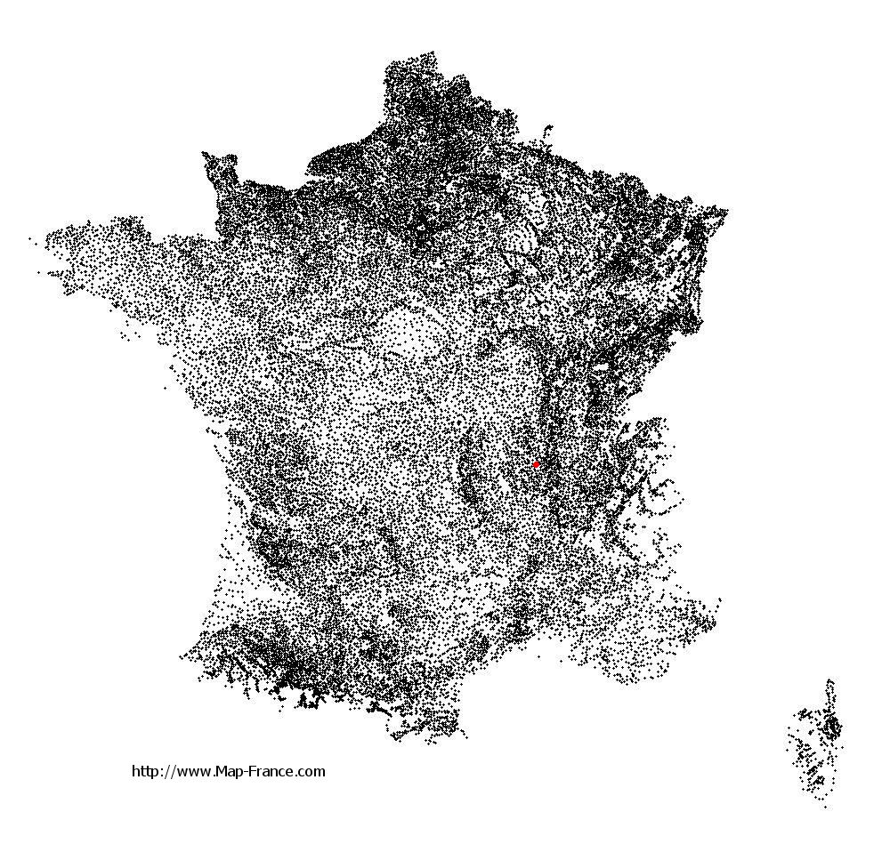
See the map of Saint-Marcel-l'Éclairé in full screen (1000 x 949)
|
At left, here is the location of Saint-Marcel-l'Éclairé on the relief France map in Lambert 93 coordinates.
Here are the altitudes of Saint-Marcel-l'Éclairé :
- Town hall altitude of Saint-Marcel-l'Éclairé is 580 meters
- Minimum altitude of Saint-Marcel-l'Éclairé is 360 meters
- Maximum altitude of Saint-Marcel-l'Éclairé is 843 meters
- Medium altitude of Saint-Marcel-l'Éclairé is 602 meters
Here are the altitudes of Lyon, prefecture of Rhône department:
- Town hall altitude of Lyon is 166 meters
- Minimum altitude of Lyon is 162 meters
- Maximum altitude of Lyon is 312 meters
- Medium altitude of Lyon is 237 meters
Here are the altitudes of the french biggest cities:
Paris : 33 meters
Marseille : 20 meters
Lyon : 237 meters
Toulouse : 146 meters
Nice : 10 meters
Nantes : 20 meters
Strasbourg : 144 meters
Montpellier : 35 meters
Bordeaux : 16 meters
Lille : 20 meters
Rennes : 35 meters
Reims : 83 meters
Click here for the terrain map of Saint-Marcel-l'Éclairé in full screen:
Relief map of Saint-Marcel-l%27Éclairé
|
This relief map of Saint-Marcel-l'Éclairé is reusable and modifiable by making a link to this page of the Map-France.com website or by using the given code :
|
Terrain base map of Saint-Marcel-l'Éclairé
|
See the terrain base map of Saint-Marcel-l'Éclairé in full screen (1000 x 949)
|
Small relief base map of Saint-Marcel-l'Éclairé

|
This base map of Saint-Marcel-l'Éclairé is reusable and modifiable by making a link to this page of the Map-France.com website or by using the given code :
|
Map of Saint-Marcel-l'Éclairé with regions and prefectures
|
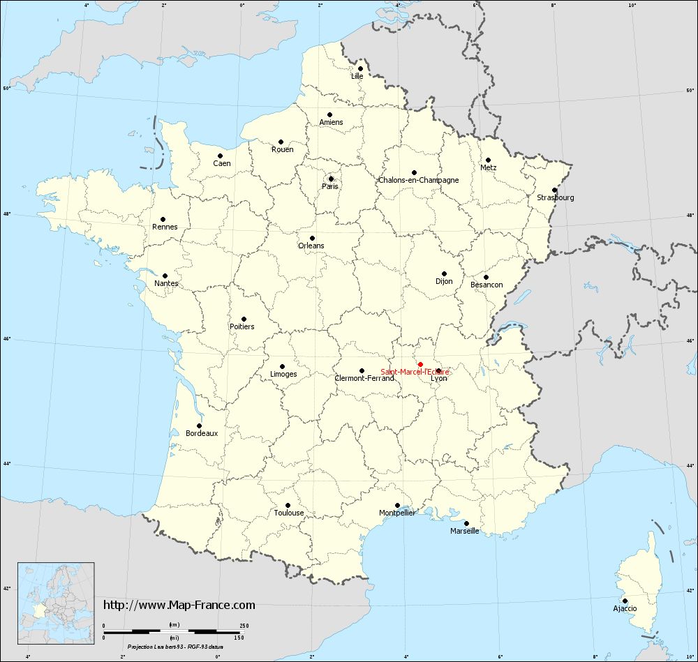
View the map of Saint-Marcel-l'Éclairé in full screen (1000 x 949)
|
You will find the location of Saint-Marcel-l'Éclairé on the map of France of regions in Lambert 93 coordinates. The town of Saint-Marcel-l'Éclairé is located in the department of Rhône of the french region Rhône-Alpes.
Geographical sexagesimal coordinates / GPS (WGS84):
Latitude: 45° 52' 30'' North
Longitude: 04° 26' 03'' East
Geographical decimal coordinates :
Latitude: 45.876 degrees (45.876° North)
Longitude: 4.436 degrees (4.436° East)
Lambert 93 coordinates :
X: 8 112 hectometers
Y: 65 316 hectometers
Lambert 2 coordinates :
X: 7 628 hectometers
Y: 20 994 hectometers
Below, the geographical coordinates of Lyon, prefecture of the Rhône department:
Geographical sexagesimal coordinates / GPS (WGS84):
Latitude: 45° 45' 32'' North
Longitude: 04° 50' 29'' East
Geographical decimal coordinates :
Latitude: 45.76 degrees (45.76° North)
Longitude: 4.835 degrees (4.835° East)
Lambert 93 coordinates :
X: 8 431 hectometers
Y: 65 194 hectometers
Lambert 2 coordinates :
X: 7 948 hectometers
Y: 20 874 hectometers
|
This map of Saint-Marcel-l'Éclairé is reusable and modifiable by making a link to this page of the Map-France.com website or by using the given code :
|
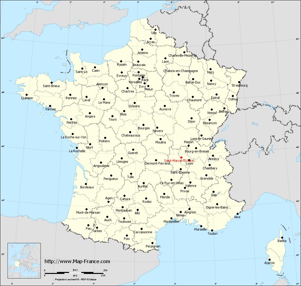
Map of Saint-Marcel-l'Éclairé with departments and prefectures
|
Voir la carte of Saint-Marcel-l'Éclairé en grand format (1000 x 949)
|
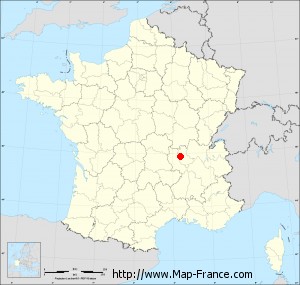
Here is the localization of Saint-Marcel-l'Éclairé on the France map of departments in Lambert 93 coordinates. The city of Saint-Marcel-l'Éclairé is shown on the map by a red point.
The town of Saint-Marcel-l'Éclairé is located in the department of Rhône of the french region Rhône-Alpes.
The latitude of Saint-Marcel-l'Éclairé is 45.876 degrees North.
The longitude of Saint-Marcel-l'Éclairé is 4.436 degrees East.
Here the distance between Saint-Marcel-l'Éclairé and the biggest cities of France:
Distances are calculated as the crow flies (orthodromic distance)
Distance between Saint-Marcel-l'Éclairé and Paris : 367.01 kilometers
Distance between Saint-Marcel-l'Éclairé and Marseille : 296.44 kilometers
Distance between Saint-Marcel-l'Éclairé and Lyon : 33.47 kilometers
Distance between Saint-Marcel-l'Éclairé and Toulouse : 345.58 kilometers
Distance between Saint-Marcel-l'Éclairé and Nice : 328.26 kilometers
Distance between Saint-Marcel-l'Éclairé and Nantes : 481.27 kilometers
Distance between Saint-Marcel-l'Éclairé and Strasbourg : 391.47 kilometers
Distance between Saint-Marcel-l'Éclairé and Montpellier : 255.74 kilometers
Distance between Saint-Marcel-l'Éclairé and Bordeaux : 407.59 kilometers
Distance between Saint-Marcel-l'Éclairé and Lille : 537.91 kilometers
Distance between Saint-Marcel-l'Éclairé and Rennes : 525.47 kilometers
Distance between Saint-Marcel-l'Éclairé and Reims : 377.01 kilometers
Clic here to see the map of Saint-Marcel-l'Éclairé in full screen:
Saint-Marcel-l%27Éclairé on the map of french departments
|
This administrative map of Saint-Marcel-l'Éclairé is reusable and modifiable by making a link to this page of the Map-France.com website or by using the given code :
|
Administrative base maps of Saint-Marcel-l'Éclairé
|

See the administrative base map of Saint-Marcel-l'Éclairé in full screen (1000 x 949)
|
Small administrative base map of Saint-Marcel-l'Éclairé
|
This base map administrative of Saint-Marcel-l'Éclairé is reusable and modifiable by making a link to this page of the Map-France.com website or by using the given code :
|
 French Version : http://www.cartesfrance.fr