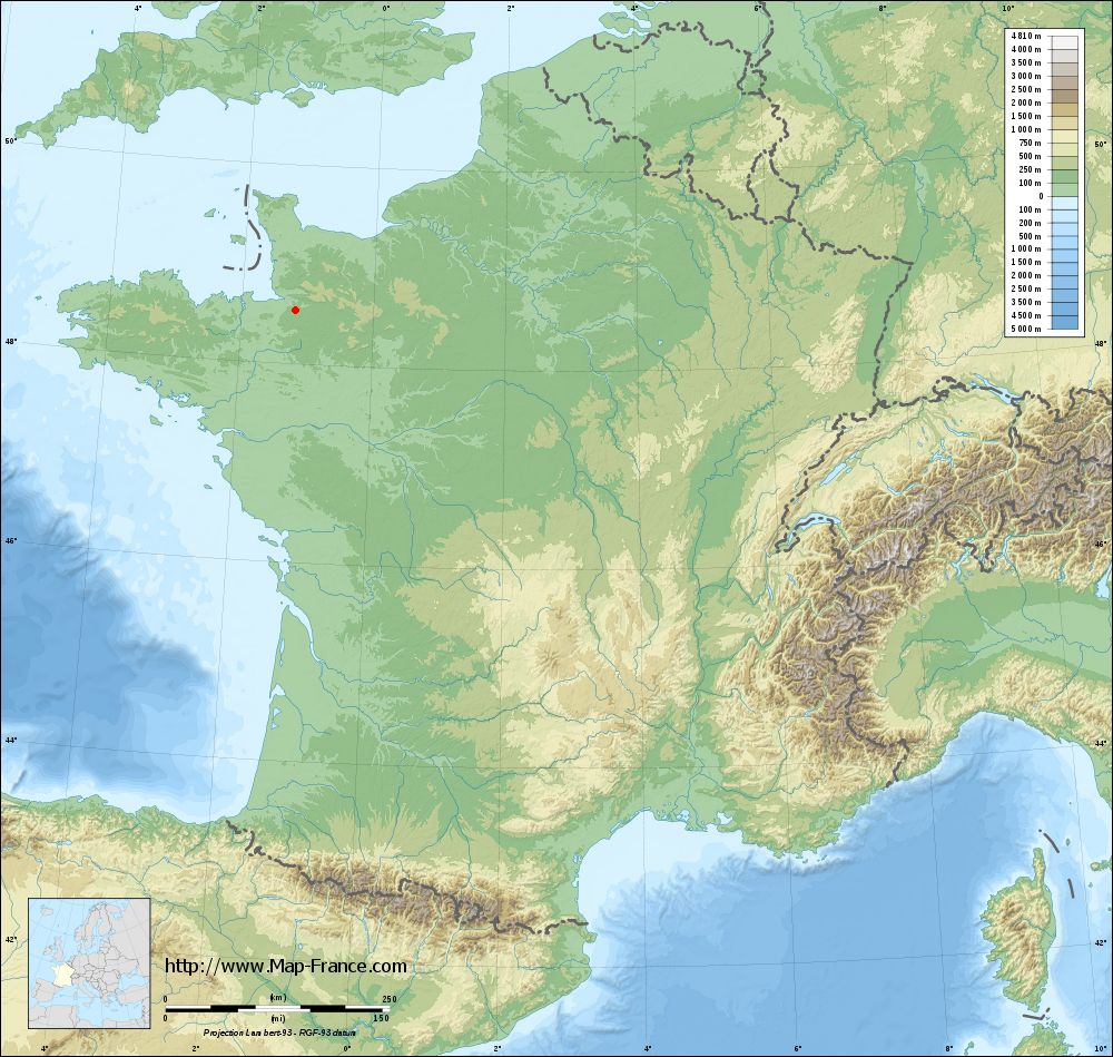
Saint-Martin-de-Landelles on the relief France map in Lambert 93 coordinates
|

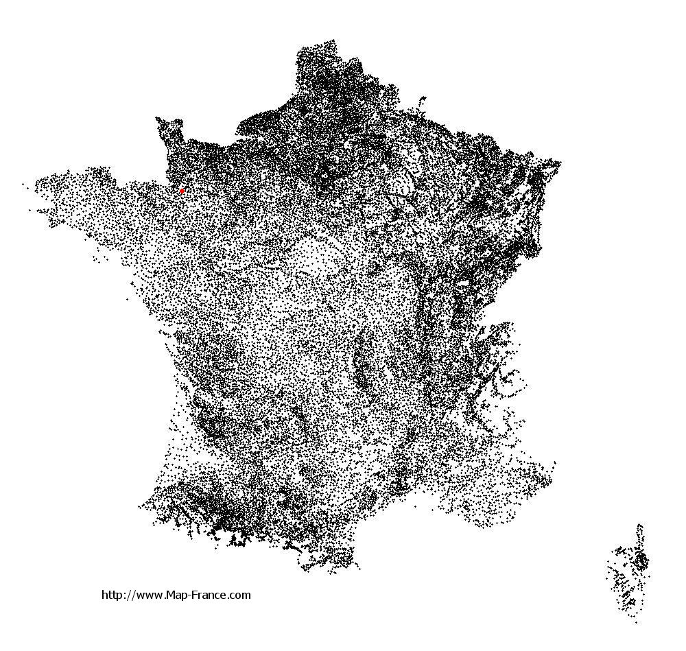
See the map of Saint-Martin-de-Landelles in full screen (1000 x 949)
|
At left, here is the location of Saint-Martin-de-Landelles on the relief France map in Lambert 93 coordinates.
Here are the altitudes of Saint-Martin-de-Landelles :
- Town hall altitude of Saint-Martin-de-Landelles is 178 meters
- Minimum altitude of Saint-Martin-de-Landelles is 57 meters
- Maximum altitude of Saint-Martin-de-Landelles is 192 meters
- Medium altitude of Saint-Martin-de-Landelles is 125 meters
Here are the altitudes of Saint-Lô, prefecture of Manche department:
- Town hall altitude of Saint-Lô is 30 meters
- Minimum altitude of Saint-Lô is 7 meters
- Maximum altitude of Saint-Lô is 134 meters
- Medium altitude of Saint-Lô is 71 meters
Here are the altitudes of the french biggest cities:
Paris : 33 meters
Marseille : 20 meters
Lyon : 237 meters
Toulouse : 146 meters
Nice : 10 meters
Nantes : 20 meters
Strasbourg : 144 meters
Montpellier : 35 meters
Bordeaux : 16 meters
Lille : 20 meters
Rennes : 35 meters
Reims : 83 meters
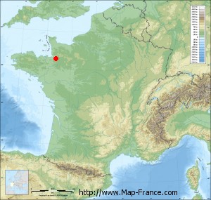
Click here for the terrain map of Saint-Martin-de-Landelles in full screen:
Relief map of Saint-Martin-de-Landelles
|
This relief map of Saint-Martin-de-Landelles is reusable and modifiable by making a link to this page of the Map-France.com website or by using the given code :
|
Terrain base map of Saint-Martin-de-Landelles
|
See the terrain base map of Saint-Martin-de-Landelles in full screen (1000 x 949)
|
Small relief base map of Saint-Martin-de-Landelles
|
This base map of Saint-Martin-de-Landelles is reusable and modifiable by making a link to this page of the Map-France.com website or by using the given code :
|
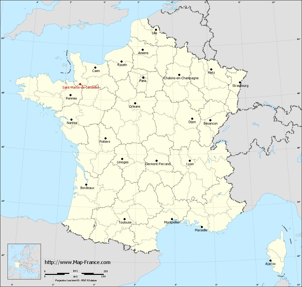
Map of Saint-Martin-de-Landelles with regions and prefectures
|
View the map of Saint-Martin-de-Landelles in full screen (1000 x 949)
|
You will find the location of Saint-Martin-de-Landelles on the map of France of regions in Lambert 93 coordinates. The town of Saint-Martin-de-Landelles is located in the department of Manche of the french region Basse-Normandie.
Geographical sexagesimal coordinates / GPS (WGS84):
Latitude: 48° 32' 45'' North
Longitude: 01° 10' 19'' West
Geographical decimal coordinates :
Latitude: 48.547 degrees (48.547° North)
Longitude: -1.171 degrees (1.171° West)
Lambert 93 coordinates :
X: 3 922 hectometers
Y: 68 354 hectometers
Lambert 2 coordinates :
X: 3 409 hectometers
Y: 23 999 hectometers
Below, the geographical coordinates of Saint-Lô, prefecture of the Manche department:
Geographical sexagesimal coordinates / GPS (WGS84):
Latitude: 49° 06' 52'' North
Longitude: 01° 05' 30'' West
Geographical decimal coordinates :
Latitude: 49.114 degrees (49.114° North)
Longitude: -1.092 degrees (1.092° West)
Lambert 93 coordinates :
X: 4 014 hectometers
Y: 68 982 hectometers
Lambert 2 coordinates :
X: 3 496 hectometers
Y: 24 628 hectometers
|
This map of Saint-Martin-de-Landelles is reusable and modifiable by making a link to this page of the Map-France.com website or by using the given code :
|
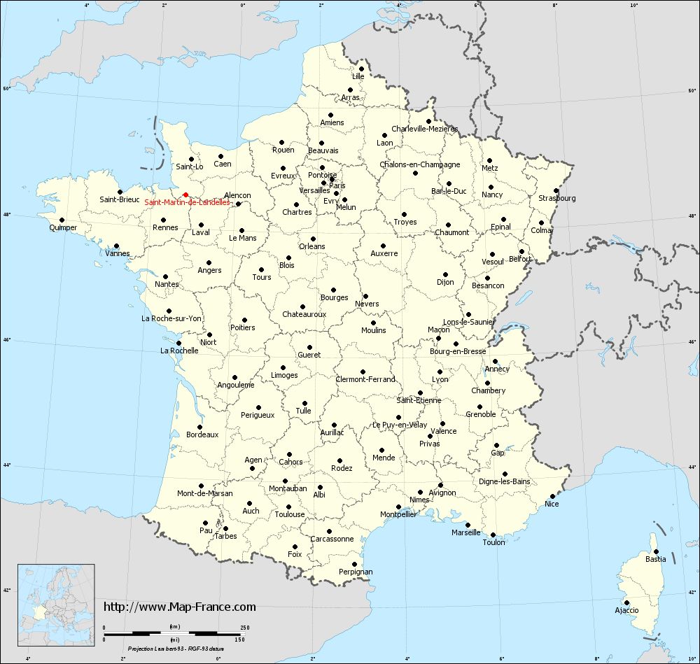
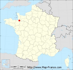
Map of Saint-Martin-de-Landelles with departments and prefectures
|
Voir la carte of Saint-Martin-de-Landelles en grand format (1000 x 949)
|
Here is the localization of Saint-Martin-de-Landelles on the France map of departments in Lambert 93 coordinates. The city of Saint-Martin-de-Landelles is shown on the map by a red point.
The town of Saint-Martin-de-Landelles is located in the department of Manche of the french region Basse-Normandie.
The latitude of Saint-Martin-de-Landelles is 48.547 degrees North.
The longitude of Saint-Martin-de-Landelles is 1.171 degrees West.
Here the distance between Saint-Martin-de-Landelles and the biggest cities of France:
Distances are calculated as the crow flies (orthodromic distance)
Distance between Saint-Martin-de-Landelles and Paris : 260.20 kilometers
Distance between Saint-Martin-de-Landelles and Marseille : 772.75 kilometers
Distance between Saint-Martin-de-Landelles and Lyon : 549.11 kilometers
Distance between Saint-Martin-de-Landelles and Toulouse : 585.48 kilometers
Distance between Saint-Martin-de-Landelles and Nice : 842.33 kilometers
Distance between Saint-Martin-de-Landelles and Nantes : 150.22 kilometers
Distance between Saint-Martin-de-Landelles and Strasbourg : 656.01 kilometers
Distance between Saint-Martin-de-Landelles and Montpellier : 672.12 kilometers
Distance between Saint-Martin-de-Landelles and Bordeaux : 413.99 kilometers
Distance between Saint-Martin-de-Landelles and Lille : 381.59 kilometers
Distance between Saint-Martin-de-Landelles and Rennes : 61.58 kilometers
Distance between Saint-Martin-de-Landelles and Reims : 388.01 kilometers
Clic here to see the map of Saint-Martin-de-Landelles in full screen:
Saint-Martin-de-Landelles on the map of french departments
|
This administrative map of Saint-Martin-de-Landelles is reusable and modifiable by making a link to this page of the Map-France.com website or by using the given code :
|
Administrative base maps of Saint-Martin-de-Landelles
|

See the administrative base map of Saint-Martin-de-Landelles in full screen (1000 x 949)
|
Small administrative base map of Saint-Martin-de-Landelles
|
This base map administrative of Saint-Martin-de-Landelles is reusable and modifiable by making a link to this page of the Map-France.com website or by using the given code :
|
 French Version : http://www.cartesfrance.fr