|
The village of Saint-Ovin is a small village located north west of France. The town of Saint-Ovin is located in the department of Manche of the french region Basse-Normandie. The town of Saint-Ovin is located in the district of Avranches. The area code for Saint-Ovin is 50531 (also known as code INSEE), and the Saint-Ovin zip code is 50300.
Geography and map of Saint-Ovin :
The altitude of the city hall of Saint-Ovin is approximately 130 meters. The Saint-Ovin surface is 12.93 km ². The latitude and longitude of Saint-Ovin are 48.684 degrees North and 1.26 degrees West.
Nearby cities and towns of Saint-Ovin are :
La Godefroy (50300) at 2.31 km, La Gohannière (50300) at 2.53 km, Le Mesnil-Ozenne (50220) at 2.65 km, Saint-Loup (50300) at 2.85 km, Tirepied (50870) at 3.13 km, Marcilly (50220) at 3.81 km, Le Petit-Celland (50370) at 3.87 km, Saint-Brice (50300) at 3.88 km.
(The distances to these nearby towns of Saint-Ovin are calculated as the crow flies)
Population and housing of Saint-Ovin :
The population of Saint-Ovin was 674 in 1999, 723 in 2006 and 736 in 2007. The population density of Saint-Ovin is 56.92 inhabitants per km². The number of housing of Saint-Ovin was 325 in 2007. These homes of Saint-Ovin consist of 286 main residences, 22 second or occasional homes and 18 vacant homes. |
|
|
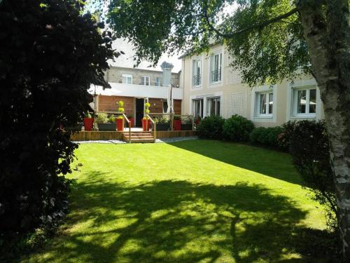
Hotel Saint-Ovin
|
|
|
Book now ! Best Price Guaranteed, no booking fees, pay at the hotel with our partner Booking.com, leader in online hotel reservation.
Find all hotels of Saint-Ovin : Hotel Saint-Ovin
| |
|
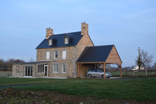
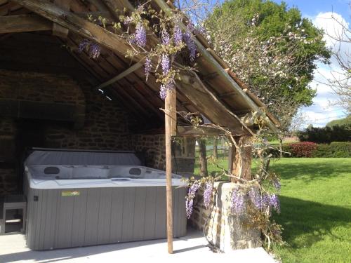
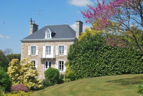
Guest accommodation : Gîtes de la Croix du Bourg

Located in Le Mesnil-Ozenne, 33 km from Le Mont Saint Michel, Gîtes de la Croix du Bourg offers a garden and free WiFi. All units feature a flat-screen TV, a private bathroom a...
Address : La Croix du Bourg 50220 Le Mesnil-Ozenne
Distance Guest accommodation - Saint-Ovin : 2.90 km
|
|
|
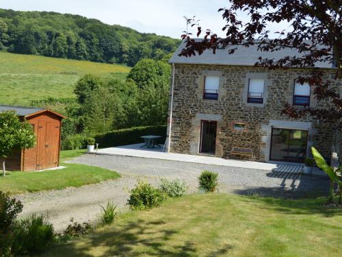
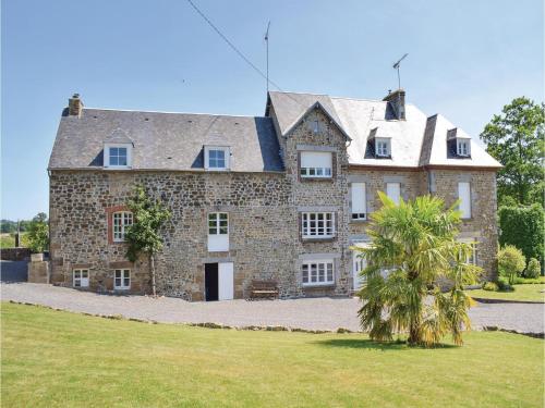
Guest accommodation : Gîte La Rivière
Gîte La Rivière is situated in Isigny-le-Buat and offers barbecue facilities and a garden. The accommodation features free WiFi. The holiday home comes with 3 bedrooms and a fu...
Contact : 50540 Isigny-le-Buat
Distance Guest accommodation - Saint-Ovin : 4.69 km
|
|
|
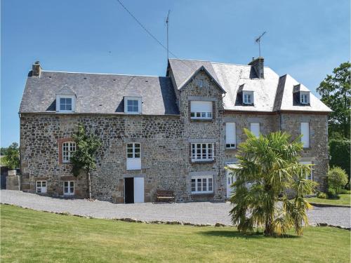
Guest accommodation : Julien

Located in Isigny-le-Buat in the Lower Normandy region, Julien has a terrace and garden views. Guests staying at this holiday home have access to a fully equipped kitchen. The ...
Contact : La rousserie- Montgothier 50540 Isigny-le-Buat
Distance Guest accommodation - Saint-Ovin : 5.00 km
|
|
|
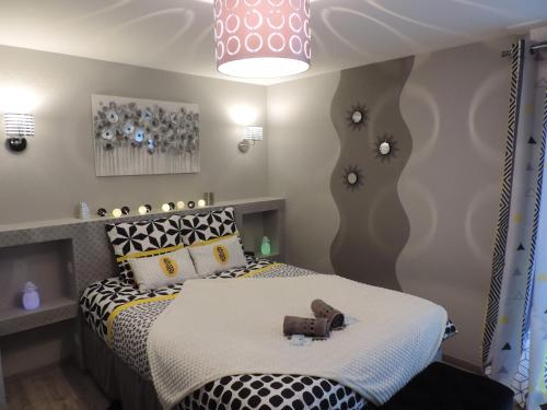
Bed and Breakfast : Chambres d'Hotes La Maison Neuve
Chambres d'Hotes La Maison Neuve is located 5 km from Avranches and its Scriptorial Museum and 20 km from Bec d'Andaine in Genêts. A shuttle for the Mont Saint Michel is located...
Rate : from 69.00 €
to 99.00 €
Contact : 3 La Maison Neuve 50300 Saint-Loup
Distance Bed and Breakfast - Saint-Ovin : 5.41 km
|
|
|
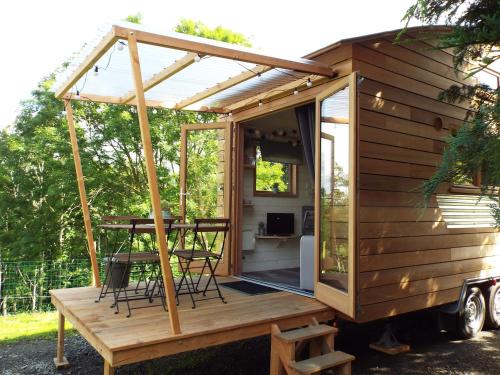
Guest accommodation : Tiny House "Les Vallées"
Tiny House "Les Vallées" is set in Saint-Quentin-sur-le-Homme and offers barbecue facilities and a garden. Guests staying at this holiday home have access to free WiFi, a fully ...
Price : from 60.00 €
Address : 12 route des vallees 50220 Saint-Quentin-sur-le-Homme
Distance Guest accommodation - Saint-Ovin : 5.42 km
|
|
|
Bed and Breakfast : Chambres d'hôtes Les Vallées
Located in Saint-Quentin-sur-le-Homme, Chambres d’Hôtes Les Vallées is 22 km from Mont-Saint-Michel. It offers free Wi-Fi in public areas and a 200 m² flowered garden. With gar...
Prices : from 65.00 €
to 75.00 €
Contact : 12 Route des Vallées 50220 Saint-Quentin-sur-le-Homme
Distance Bed and Breakfast - Saint-Ovin : 5.43 km
|
|
|
Hotel : Hôtel Le Gue Du Holme
Le Gue Du Holme is located between Normandy and Britanny, in Saint-Quentin-sur-le-Homme. It features a gourmet restaurant with an outdoor terrace and guest rooms with free WiFi ...
Rate : from 78.00 €
to 118.00 €
Contact : 14 Rue Des Estuaires 50220 Saint-Quentin-sur-le-Homme
Distance Hotel - Saint-Ovin : 5.82 km
|
|
|
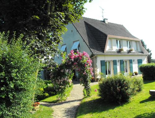
Bed and Breakfast : B&b Le Mesnil
Situated in a 3900 m² park, Le Mesnil offers 3 épis B&B accommodation with free WiFi in Saint-Senier-sous-Avranches. Free private parking is available on site. The property is j...
Price : from 76.00 €
to 85.00 €
Contact : 1er étage 29, rue de l'Eglise 50300 Saint-Senier-sous-Avranches
Distance Bed and Breakfast - Saint-Ovin : 5.94 km
|
|
|
Apartment : Apartment Ponts 29
Situated in Ponts in the Lower Normandy region, Apartment Ponts 29 is a 3-star property boasting free WiFi. Guests staying at this apartment have access to a fully equipped kitc...
Address : 50300 Ponts
Distance Apartment - Saint-Ovin : 6.12 km
|
|
|
Apartment : Apartment Ponts 31
Apartment Ponts 31 is set in Ponts. This apartment also features free WiFi. The apartment features 2 bedrooms, a TV and a fully equipped kitchen that provides guests with a dis...
Contact : 50300 Ponts
Distance Apartment - Saint-Ovin : 6.12 km
|
|
Find another hotel near Saint-Ovin : Saint-Ovin hotels list
|
Map of Saint-Ovin
|
|
Map of Saint-Ovin :
At right you can find the localization of Saint-Ovin on the map of France. Below, this is the satellite map of Saint-Ovin. A road map, and maps templates of Saint-Ovin are available here : "road map of Saint-Ovin". This map show Saint-Ovin seen by the satellite of Google Map. To see the streets of Saint-Ovin or move on another zone, use the buttons "zoom" and "map" on top of this dynamic map.
Search on the map of Saint-Ovin :
To search hotels, housings, tourist information office, administrations or other services, use the Google search integrated to the map on the following page : "map Saint-Ovin".
Hotels of Saint-Ovin are listed on the map with the following icons: 
The map of Saint-Ovin is centred in the following coordinates :
|

|
|
|
|
Print the map of Saint-Ovin

Print the map of Saint-Ovin : map of Saint-Ovin
|
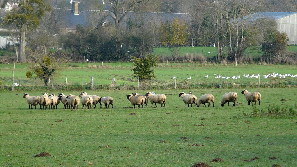
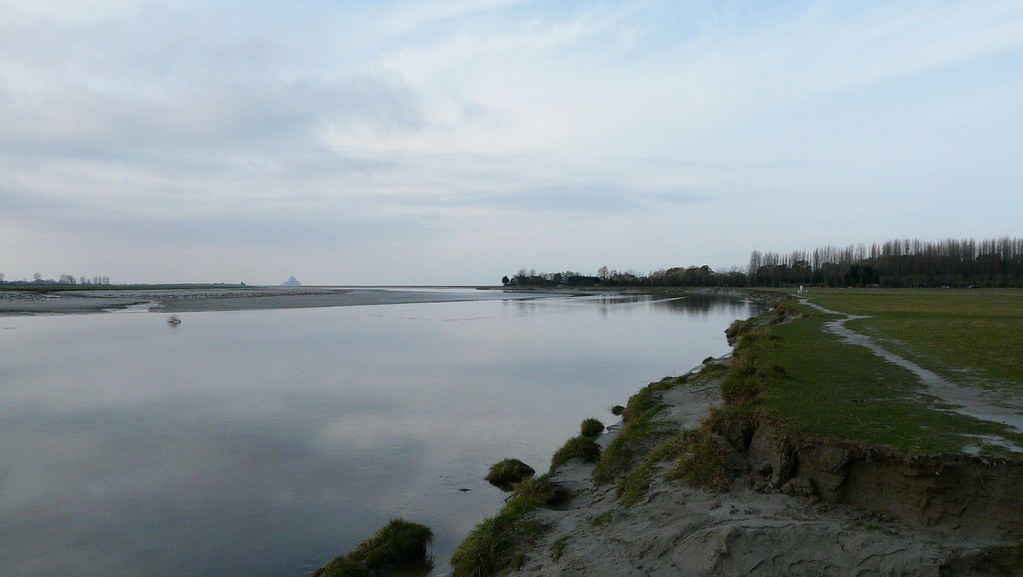
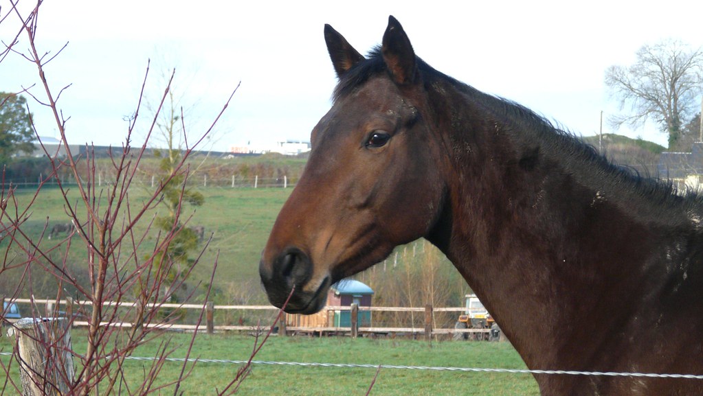
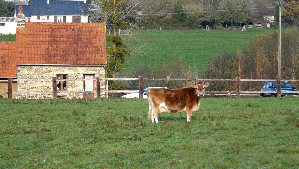
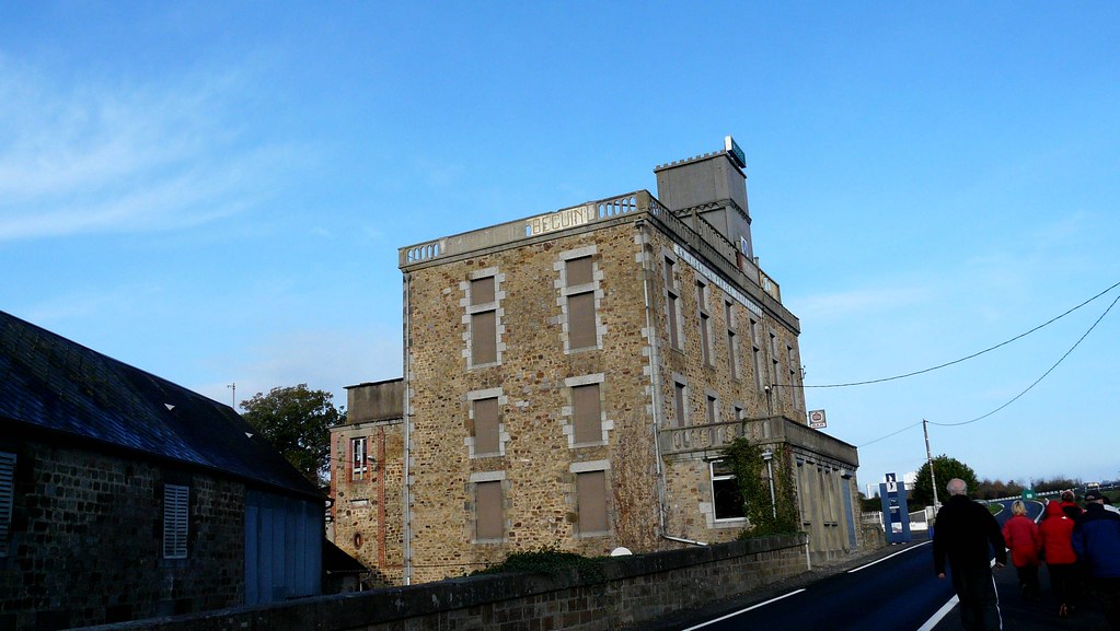
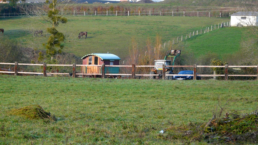
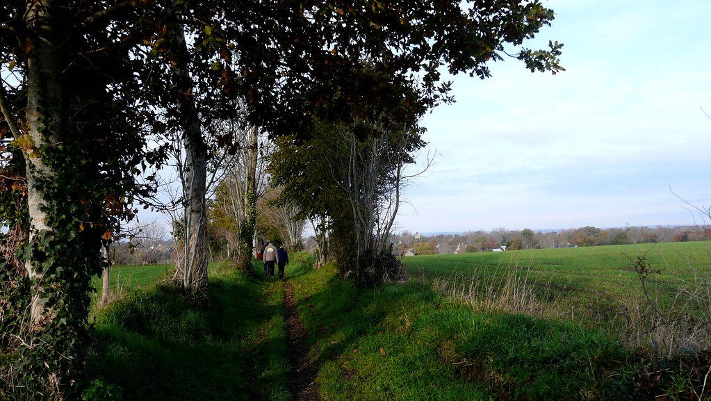
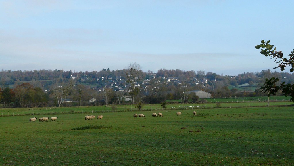
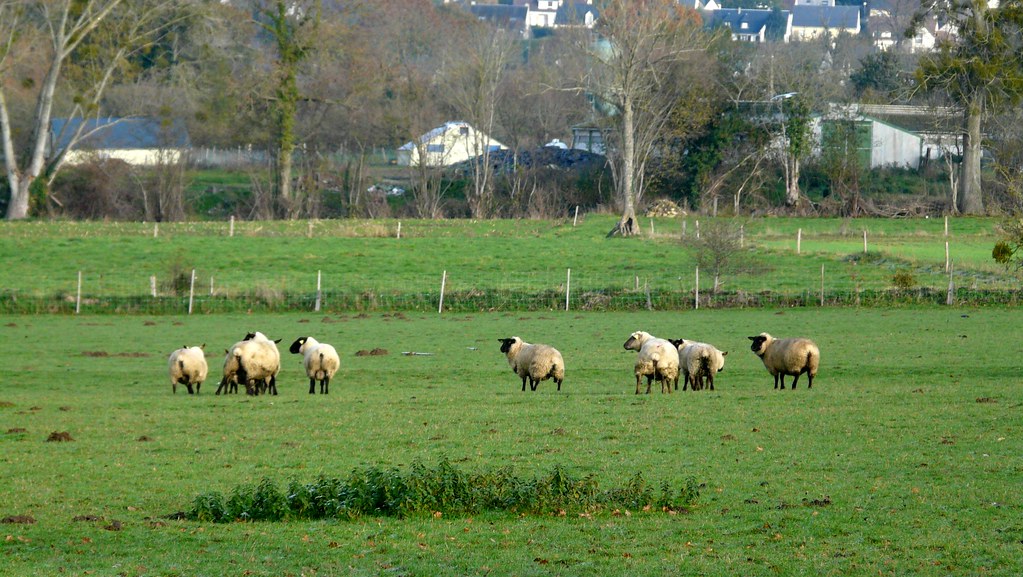
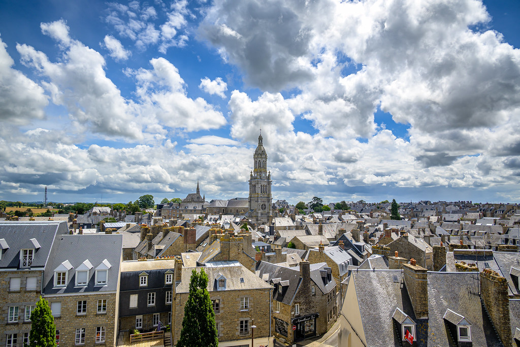
Photos Saint-Ovin
|
See all photos of Saint-Ovin :
Other photos of Saint-Ovin and nearby towns can be found here: photos Saint-Ovin
|
|
Saint-Ovin weather forecast
Find next hours and 7 days weather forecast for Saint-Ovin here : weather Saint-Ovin (with english metrics)
This is the last weather forecast for Saint-Ovin collected by the nearest observation station of Avranches.
Week Forecast:
The latest weather data for Saint-Ovin were collected Thursday, 18 April 2024 at 13:00 from the nearest observation station of Avranches.
| Thursday, April 18th |
14°C 4°C
0%
44%
|
Partly cloudy
Temperature Max: 14°C Temperature Min: 4°C
Precipitation Probability: 0%
Percentage of sky occluded by clouds: 44%
Wind speed: 12 km/h South
Humidity: 63%° UV Index: 4
Sunrise: 07:08 Sunset: 21:02 |
|
| | Friday, April 19th |
14°C 5°C
0%
82%
|
Mostly cloudy
Temperature Max: 14°C Temperature Min: 5°C
Precipitation Probability: 0%
Percentage of sky occluded by clouds: 82%
Wind speed: 21 km/h East
Humidity: 79%° UV Index: 3
Sunrise: 07:06 Sunset: 21:03 |
|
| | Saturday, April 20th |
12°C 6°C
0%
32%
|
Mostly clear
Temperature Max: 12°C Temperature Min: 6°C
Precipitation Probability: 0%
Percentage of sky occluded by clouds: 32%
Wind speed: 17 km/h Sout-East
Humidity: 59%° UV Index: 5
Sunrise: 07:04 Sunset: 21:05 |
|
| | Sunday, April 21st |
12°C 3°C
0%
56%
|
Partly cloudy
Temperature Max: 12°C Temperature Min: 3°C
Precipitation Probability: 0%
Percentage of sky occluded by clouds: 56%
Wind speed: 18 km/h Sout-East
Humidity: 64%° UV Index: 4
Sunrise: 07:02 Sunset: 21:06 |
|
|
Attribution: 
|
|
Other maps, hotels and towns in france
Find another town, zip code, department, region, ...
Quick links Saint-Ovin :
Make a link to this page of Saint-Ovin with the following code :
|
|
|
 French Version : http://www.cartesfrance.fr/carte-france-ville/50531_Saint-Ovin.html