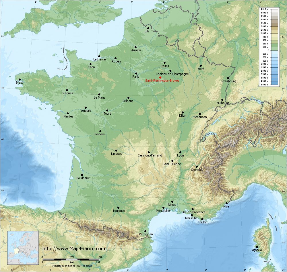
Saint-Remy-sous-Broyes on the relief France map in Lambert 93 coordinates
|
See the map of Saint-Remy-sous-Broyes in full screen (1000 x 949)
|
At left, here is the location of Saint-Remy-sous-Broyes on the relief France map in Lambert 93 coordinates.
Here are the altitudes of Saint-Remy-sous-Broyes :
- Town hall altitude of Saint-Remy-sous-Broyes is 105 meters
- Minimum altitude of Saint-Remy-sous-Broyes is 98 meters
- Maximum altitude of Saint-Remy-sous-Broyes is 142 meters
- Medium altitude of Saint-Remy-sous-Broyes is 120 meters
Here are the altitudes of Châlons-en-Champagne, prefecture of Marne department:
- Town hall altitude of Châlons-en-Champagne is 85 meters
- Minimum altitude of Châlons-en-Champagne is 79 meters
- Maximum altitude of Châlons-en-Champagne is 153 meters
- Medium altitude of Châlons-en-Champagne is 116 meters
Here are the altitudes of the french biggest cities:
Paris : 33 meters
Marseille : 20 meters
Lyon : 237 meters
Toulouse : 146 meters
Nice : 10 meters
Nantes : 20 meters
Strasbourg : 144 meters
Montpellier : 35 meters
Bordeaux : 16 meters
Lille : 20 meters
Rennes : 35 meters
Reims : 83 meters
Click here for the terrain map of Saint-Remy-sous-Broyes in full screen:
Relief map of Saint-Remy-sous-Broyes
|
This relief map of Saint-Remy-sous-Broyes is reusable and modifiable by making a link to this page of the Map-France.com website or by using the given code :
|
Terrain base map of Saint-Remy-sous-Broyes
|
See the terrain base map of Saint-Remy-sous-Broyes in full screen (1000 x 949)
|
Small relief base map of Saint-Remy-sous-Broyes

|
This base map of Saint-Remy-sous-Broyes is reusable and modifiable by making a link to this page of the Map-France.com website or by using the given code :
|
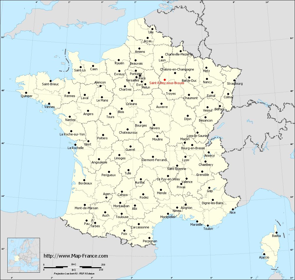
Map of Saint-Remy-sous-Broyes with regions and prefectures
|
View the map of Saint-Remy-sous-Broyes in full screen (1000 x 949)
|
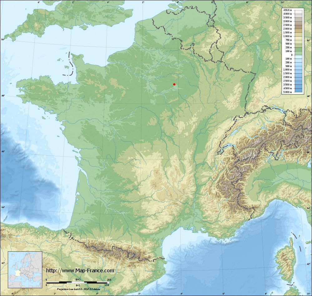
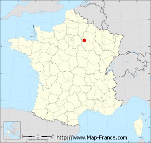
You will find the location of Saint-Remy-sous-Broyes on the map of France of regions in Lambert 93 coordinates. The town of Saint-Remy-sous-Broyes is located in the department of Marne of the french region Champagne-Ardenne.
Geographical sexagesimal coordinates / GPS (WGS84):
Latitude: 48° 42' 06'' North
Longitude: 03° 46' 27'' East
Geographical decimal coordinates :
Latitude: 48.703 degrees (48.703° North)
Longitude: 3.776 degrees (3.776° East)
Lambert 93 coordinates :
X: 7 570 hectometers
Y: 68 449 hectometers
Lambert 2 coordinates :
X: 7 059 hectometers
Y: 24 124 hectometers
Below, the geographical coordinates of Châlons-en-Champagne, prefecture of the Marne department:
Geographical sexagesimal coordinates / GPS (WGS84):
Latitude: 48° 57' 24'' North
Longitude: 04° 21' 52'' East
Geographical decimal coordinates :
Latitude: 48.957 degrees (48.957° North)
Longitude: 4.362 degrees (4.362° East)
Lambert 93 coordinates :
X: 7 999 hectometers
Y: 68 738 hectometers
Lambert 2 coordinates :
X: 7 486 hectometers
Y: 24 417 hectometers
|
This map of Saint-Remy-sous-Broyes is reusable and modifiable by making a link to this page of the Map-France.com website or by using the given code :
|
Map of Saint-Remy-sous-Broyes with departments and prefectures
|
Voir la carte of Saint-Remy-sous-Broyes en grand format (1000 x 949)
|
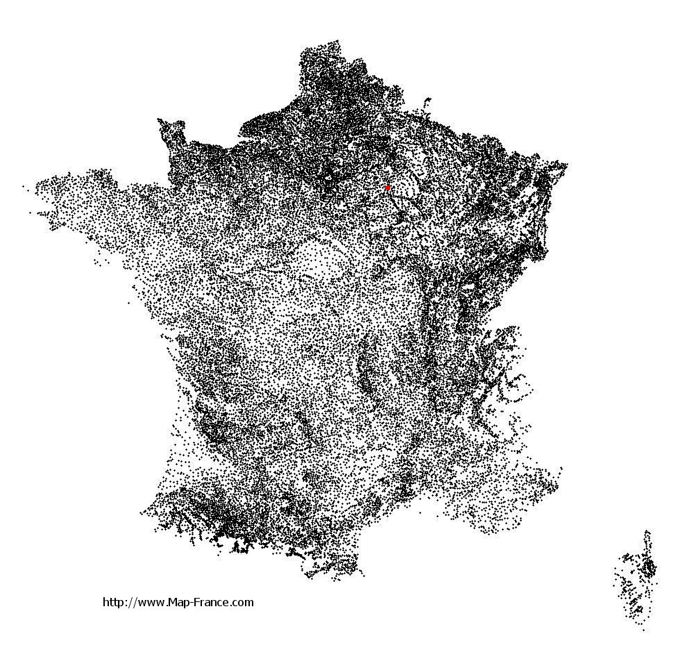
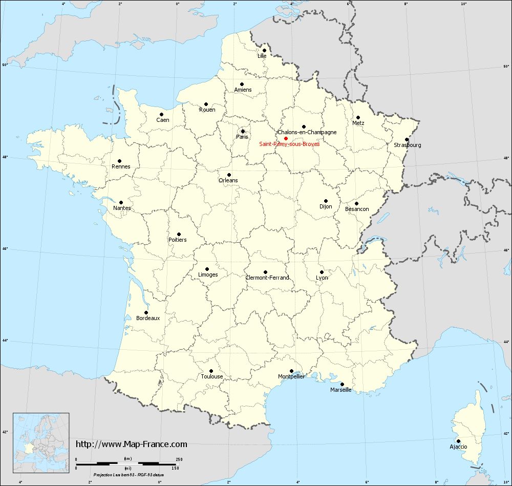
Here is the localization of Saint-Remy-sous-Broyes on the France map of departments in Lambert 93 coordinates. The city of Saint-Remy-sous-Broyes is shown on the map by a red point.
The town of Saint-Remy-sous-Broyes is located in the department of Marne of the french region Champagne-Ardenne.
The latitude of Saint-Remy-sous-Broyes is 48.703 degrees North.
The longitude of Saint-Remy-sous-Broyes is 3.776 degrees East.
Here the distance between Saint-Remy-sous-Broyes and the biggest cities of France:
Distances are calculated as the crow flies (orthodromic distance)
Distance between Saint-Remy-sous-Broyes and Paris : 106.13 kilometers
Distance between Saint-Remy-sous-Broyes and Marseille : 613.46 kilometers
Distance between Saint-Remy-sous-Broyes and Lyon : 336.60 kilometers
Distance between Saint-Remy-sous-Broyes and Toulouse : 594.45 kilometers
Distance between Saint-Remy-sous-Broyes and Nice : 616.35 kilometers
Distance between Saint-Remy-sous-Broyes and Nantes : 429.29 kilometers
Distance between Saint-Remy-sous-Broyes and Strasbourg : 292.46 kilometers
Distance between Saint-Remy-sous-Broyes and Montpellier : 566.02 kilometers
Distance between Saint-Remy-sous-Broyes and Bordeaux : 541.57 kilometers
Distance between Saint-Remy-sous-Broyes and Lille : 220.27 kilometers
Distance between Saint-Remy-sous-Broyes and Rennes : 407.72 kilometers
Distance between Saint-Remy-sous-Broyes and Reims : 64.45 kilometers
Clic here to see the map of Saint-Remy-sous-Broyes in full screen:
Saint-Remy-sous-Broyes on the map of french departments
|
This administrative map of Saint-Remy-sous-Broyes is reusable and modifiable by making a link to this page of the Map-France.com website or by using the given code :
|
Administrative base maps of Saint-Remy-sous-Broyes
|

See the administrative base map of Saint-Remy-sous-Broyes in full screen (1000 x 949)
|
Small administrative base map of Saint-Remy-sous-Broyes
|
This base map administrative of Saint-Remy-sous-Broyes is reusable and modifiable by making a link to this page of the Map-France.com website or by using the given code :
|
 French Version : http://www.cartesfrance.fr