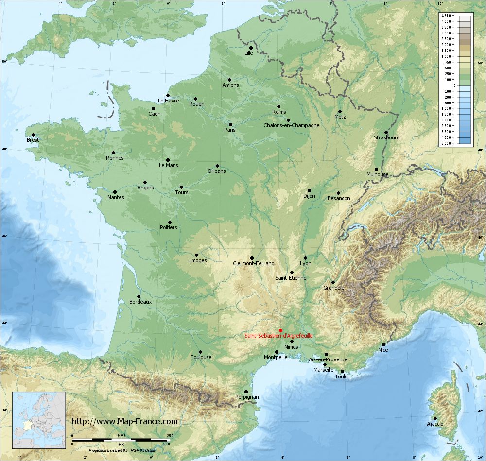
Saint-Sébastien-d'Aigrefeuille on the relief France map in Lambert 93 coordinates
|
See the map of Saint-Sébastien-d'Aigrefeuille in full screen (1000 x 949)
|
At left, here is the location of Saint-Sébastien-d'Aigrefeuille on the relief France map in Lambert 93 coordinates.
Here are the altitudes of Saint-Sébastien-d'Aigrefeuille :
- Town hall altitude of Saint-Sébastien-d'Aigrefeuille is 200 meters
- Minimum altitude of Saint-Sébastien-d'Aigrefeuille is 167 meters
- Maximum altitude of Saint-Sébastien-d'Aigrefeuille is 669 meters
- Medium altitude of Saint-Sébastien-d'Aigrefeuille is 418 meters
Here are the altitudes of Nîmes, prefecture of Gard department:
- Town hall altitude of Nîmes is 46 meters
- Minimum altitude of Nîmes is 21 meters
- Maximum altitude of Nîmes is 215 meters
- Medium altitude of Nîmes is 118 meters
Here are the altitudes of the french biggest cities:
Paris : 33 meters
Marseille : 20 meters
Lyon : 237 meters
Toulouse : 146 meters
Nice : 10 meters
Nantes : 20 meters
Strasbourg : 144 meters
Montpellier : 35 meters
Bordeaux : 16 meters
Lille : 20 meters
Rennes : 35 meters
Reims : 83 meters
Click here for the terrain map of Saint-Sébastien-d'Aigrefeuille in full screen:
Relief map of Saint-Sébastien-d%27Aigrefeuille
|
This relief map of Saint-Sébastien-d'Aigrefeuille is reusable and modifiable by making a link to this page of the Map-France.com website or by using the given code :
|
Terrain base map of Saint-Sébastien-d'Aigrefeuille
|

See the terrain base map of Saint-Sébastien-d'Aigrefeuille in full screen (1000 x 949)
|
Small relief base map of Saint-Sébastien-d'Aigrefeuille

|
This base map of Saint-Sébastien-d'Aigrefeuille is reusable and modifiable by making a link to this page of the Map-France.com website or by using the given code :
|
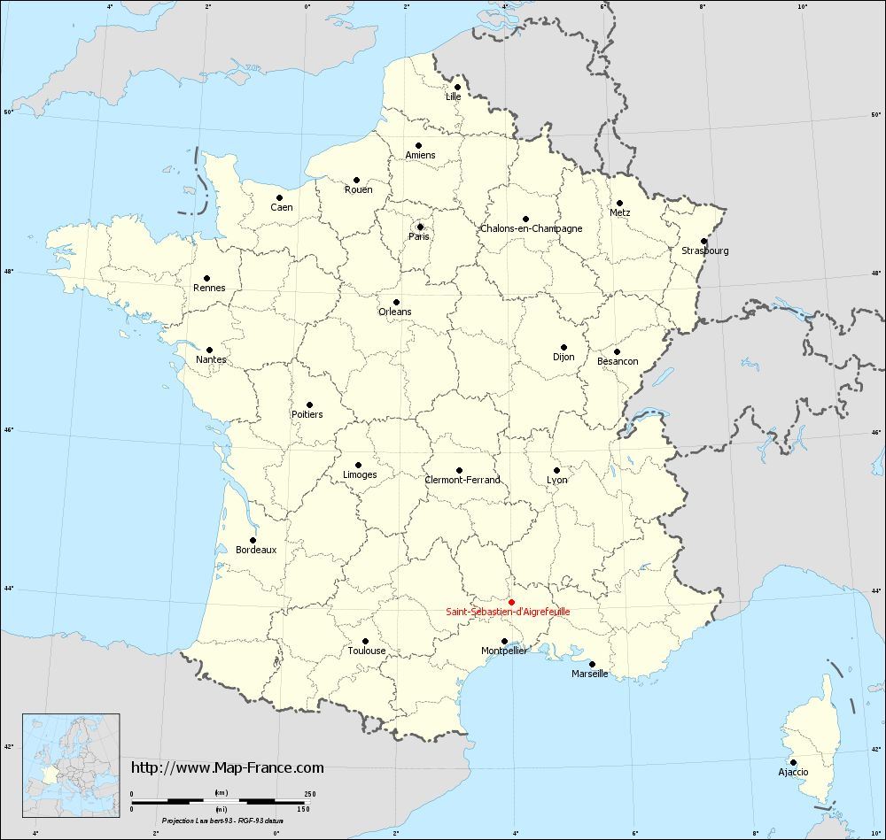
Map of Saint-Sébastien-d'Aigrefeuille with regions and prefectures
|
View the map of Saint-Sébastien-d'Aigrefeuille in full screen (1000 x 949)
|
You will find the location of Saint-Sébastien-d'Aigrefeuille on the map of France of regions in Lambert 93 coordinates. The town of Saint-Sébastien-d'Aigrefeuille is located in the department of Gard of the french region Languedoc-Roussillon.
Geographical sexagesimal coordinates / GPS (WGS84):
Latitude: 44° 06' 25'' North
Longitude: 03° 59' 40'' East
Geographical decimal coordinates :
Latitude: 44.107 degrees (44.107° North)
Longitude: 3.995 degrees (3.995° East)
Lambert 93 coordinates :
X: 7 796 hectometers
Y: 63 347 hectometers
Lambert 2 coordinates :
X: 7 328 hectometers
Y: 19 020 hectometers
Below, the geographical coordinates of Nîmes, prefecture of the Gard department:
Geographical sexagesimal coordinates / GPS (WGS84):
Latitude: 43° 50' 13'' North
Longitude: 04° 21' 36'' East
Geographical decimal coordinates :
Latitude: 43.839 degrees (43.839° North)
Longitude: 4.361 degrees (4.361° East)
Lambert 93 coordinates :
X: 8 094 hectometers
Y: 63 052 hectometers
Lambert 2 coordinates :
X: 7 629 hectometers
Y: 18 727 hectometers
|
This map of Saint-Sébastien-d'Aigrefeuille is reusable and modifiable by making a link to this page of the Map-France.com website or by using the given code :
|
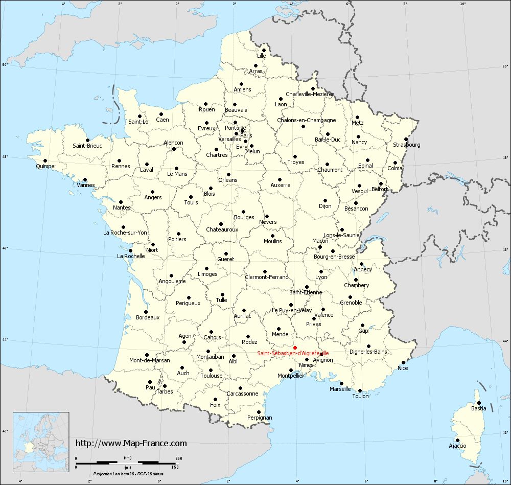
Map of Saint-Sébastien-d'Aigrefeuille with departments and prefectures
|
Voir la carte of Saint-Sébastien-d'Aigrefeuille en grand format (1000 x 949)
|
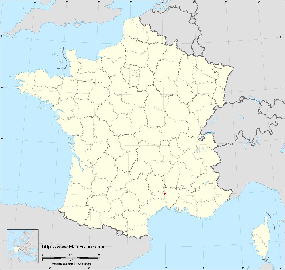
Here is the localization of Saint-Sébastien-d'Aigrefeuille on the France map of departments in Lambert 93 coordinates. The city of Saint-Sébastien-d'Aigrefeuille is shown on the map by a red point.
The town of Saint-Sébastien-d'Aigrefeuille is located in the department of Gard of the french region Languedoc-Roussillon.
The latitude of Saint-Sébastien-d'Aigrefeuille is 44.107 degrees North.
The longitude of Saint-Sébastien-d'Aigrefeuille is 3.995 degrees East.
Here the distance between Saint-Sébastien-d'Aigrefeuille and the biggest cities of France:
Distances are calculated as the crow flies (orthodromic distance)
Distance between Saint-Sébastien-d'Aigrefeuille and Paris : 543.04 kilometers
Distance between Saint-Sébastien-d'Aigrefeuille and Marseille : 144.23 kilometers
Distance between Saint-Sébastien-d'Aigrefeuille and Lyon : 195.18 kilometers
Distance between Saint-Sébastien-d'Aigrefeuille and Toulouse : 211.52 kilometers
Distance between Saint-Sébastien-d'Aigrefeuille and Nice : 265.26 kilometers
Distance between Saint-Sébastien-d'Aigrefeuille and Nantes : 552.26 kilometers
Distance between Saint-Sébastien-d'Aigrefeuille and Strasbourg : 574.90 kilometers
Distance between Saint-Sébastien-d'Aigrefeuille and Montpellier : 56.15 kilometers
Distance between Saint-Sébastien-d'Aigrefeuille and Bordeaux : 371.40 kilometers
Distance between Saint-Sébastien-d'Aigrefeuille and Lille : 728.08 kilometers
Distance between Saint-Sébastien-d'Aigrefeuille and Rennes : 623.18 kilometers
Distance between Saint-Sébastien-d'Aigrefeuille and Reims : 572.36 kilometers
Clic here to see the map of Saint-Sébastien-d'Aigrefeuille in full screen:
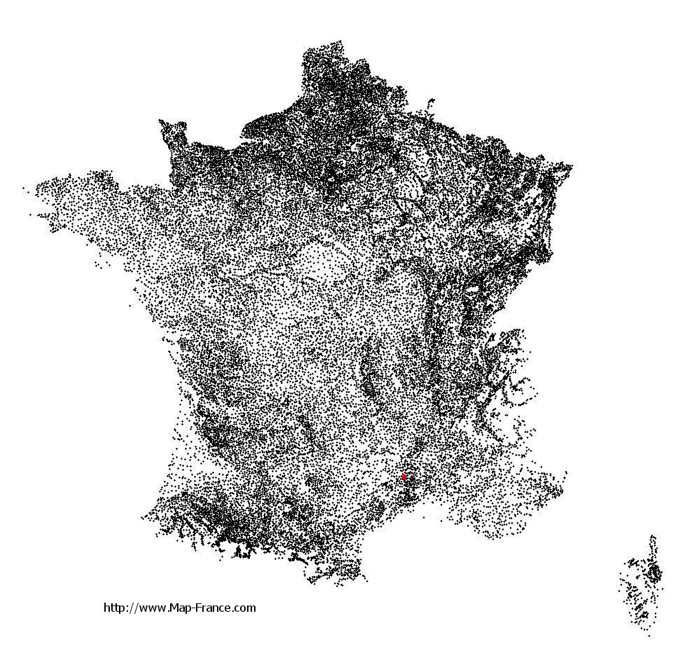
Saint-Sébastien-d%27Aigrefeuille on the map of french departments
|
This administrative map of Saint-Sébastien-d'Aigrefeuille is reusable and modifiable by making a link to this page of the Map-France.com website or by using the given code :
|
Administrative base maps of Saint-Sébastien-d'Aigrefeuille
|
See the administrative base map of Saint-Sébastien-d'Aigrefeuille in full screen (1000 x 949)
|
Small administrative base map of Saint-Sébastien-d'Aigrefeuille
|
This base map administrative of Saint-Sébastien-d'Aigrefeuille is reusable and modifiable by making a link to this page of the Map-France.com website or by using the given code :
|
 French Version : http://www.cartesfrance.fr