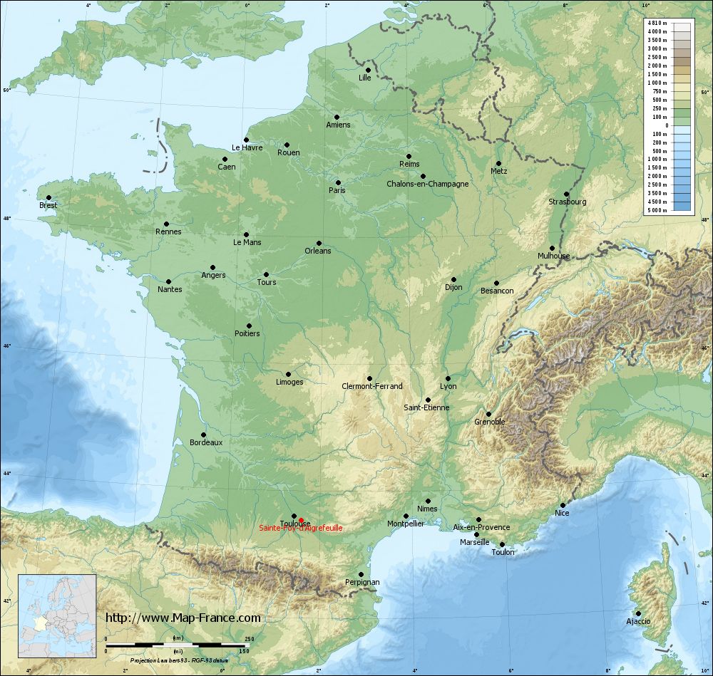
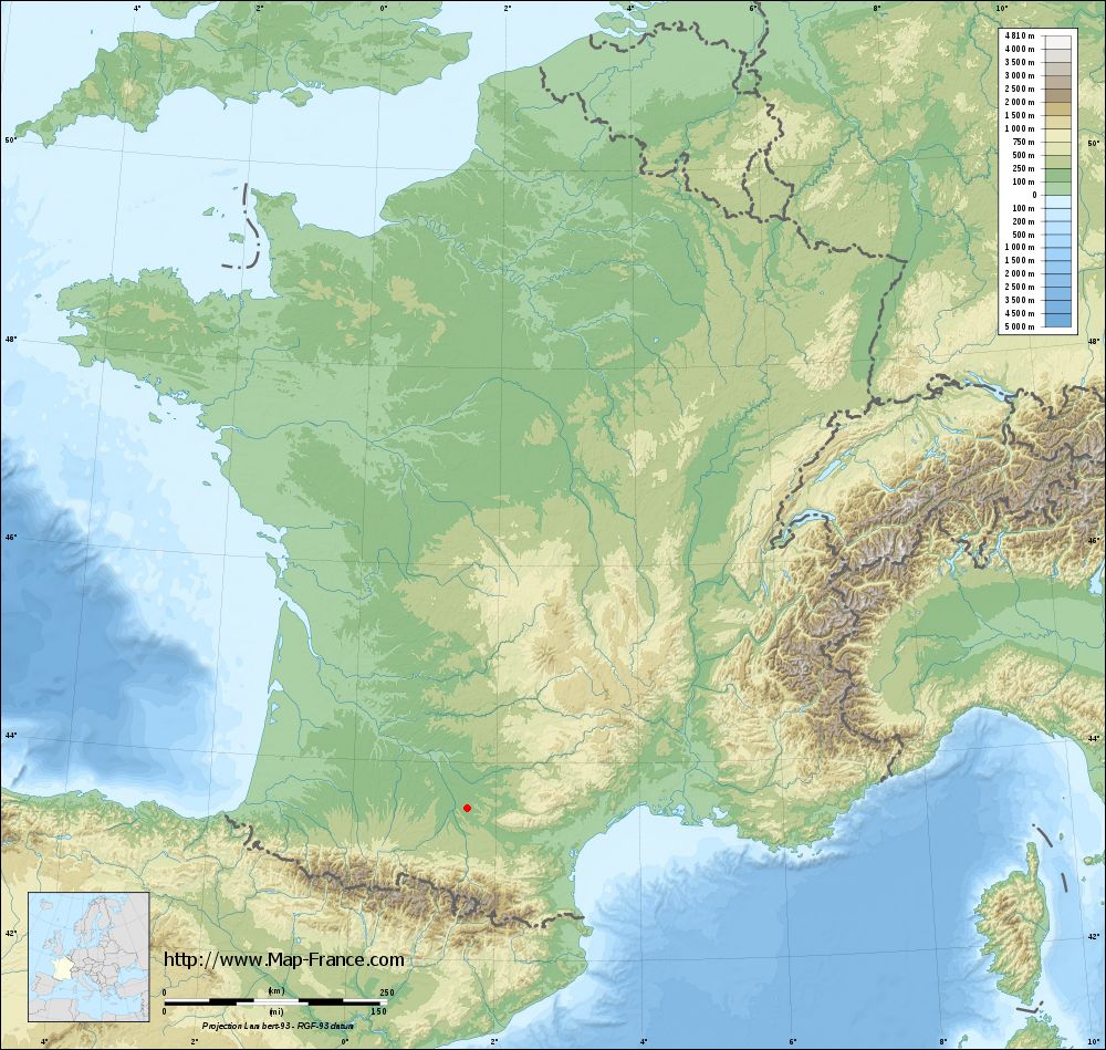
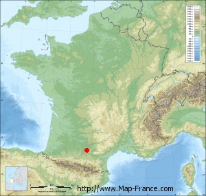
Sainte-Foy-d'Aigrefeuille on the relief France map in Lambert 93 coordinates
|
See the map of Sainte-Foy-d'Aigrefeuille in full screen (1000 x 949)
|
At left, here is the location of Sainte-Foy-d'Aigrefeuille on the relief France map in Lambert 93 coordinates.
Here are the altitudes of Sainte-Foy-d'Aigrefeuille :
- Town hall altitude of Sainte-Foy-d'Aigrefeuille is 170 meters
- Minimum altitude of Sainte-Foy-d'Aigrefeuille is 152 meters
- Maximum altitude of Sainte-Foy-d'Aigrefeuille is 240 meters
- Medium altitude of Sainte-Foy-d'Aigrefeuille is 196 meters
Here are the altitudes of Toulouse, prefecture of Haute-Garonne department:
- Town hall altitude of Toulouse is 146 meters
- Minimum altitude of Toulouse is 115 meters
- Maximum altitude of Toulouse is 263 meters
- Medium altitude of Toulouse is 189 meters
Here are the altitudes of the french biggest cities:
Paris : 33 meters
Marseille : 20 meters
Lyon : 237 meters
Toulouse : 146 meters
Nice : 10 meters
Nantes : 20 meters
Strasbourg : 144 meters
Montpellier : 35 meters
Bordeaux : 16 meters
Lille : 20 meters
Rennes : 35 meters
Reims : 83 meters
Click here for the terrain map of Sainte-Foy-d'Aigrefeuille in full screen:
Relief map of Sainte-Foy-d%27Aigrefeuille
|
This relief map of Sainte-Foy-d'Aigrefeuille is reusable and modifiable by making a link to this page of the Map-France.com website or by using the given code :
|
Terrain base map of Sainte-Foy-d'Aigrefeuille
|
See the terrain base map of Sainte-Foy-d'Aigrefeuille in full screen (1000 x 949)
|
Small relief base map of Sainte-Foy-d'Aigrefeuille
|
This base map of Sainte-Foy-d'Aigrefeuille is reusable and modifiable by making a link to this page of the Map-France.com website or by using the given code :
|
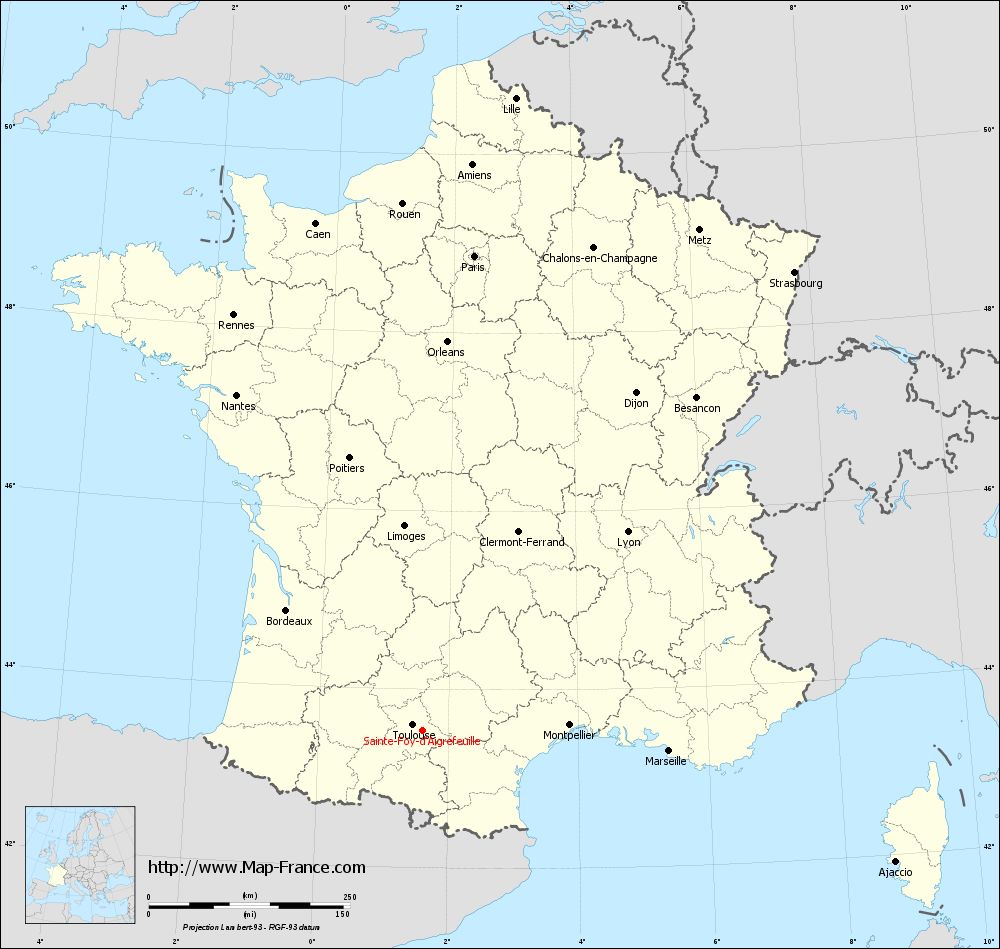
Map of Sainte-Foy-d'Aigrefeuille with regions and prefectures
|
View the map of Sainte-Foy-d'Aigrefeuille in full screen (1000 x 949)
|
You will find the location of Sainte-Foy-d'Aigrefeuille on the map of France of regions in Lambert 93 coordinates. The town of Sainte-Foy-d'Aigrefeuille is located in the department of Haute-Garonne of the french region Midi-Pyrénées.
Geographical sexagesimal coordinates / GPS (WGS84):
Latitude: 43° 32' 36'' North
Longitude: 01° 36' 35'' East
Geographical decimal coordinates :
Latitude: 43.543 degrees (43.543° North)
Longitude: 1.61 degrees (1.61° East)
Lambert 93 coordinates :
X: 5 876 hectometers
Y: 62 726 hectometers
Lambert 2 coordinates :
X: 5 412 hectometers
Y: 18 382 hectometers
Below, the geographical coordinates of Toulouse, prefecture of the Haute-Garonne department:
Geographical sexagesimal coordinates / GPS (WGS84):
Latitude: 43° 36' 16'' North
Longitude: 01° 26' 31'' East
Geographical decimal coordinates :
Latitude: 43.6 degrees (43.6° North)
Longitude: 1.45 degrees (1.45° East)
Lambert 93 coordinates :
X: 5 742 hectometers
Y: 62 796 hectometers
Lambert 2 coordinates :
X: 5 277 hectometers
Y: 18 451 hectometers
|
This map of Sainte-Foy-d'Aigrefeuille is reusable and modifiable by making a link to this page of the Map-France.com website or by using the given code :
|
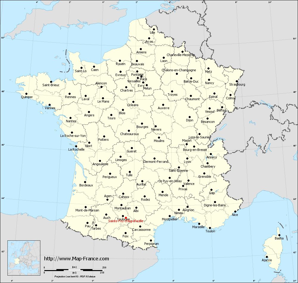
Map of Sainte-Foy-d'Aigrefeuille with departments and prefectures
|
Voir la carte of Sainte-Foy-d'Aigrefeuille en grand format (1000 x 949)
|
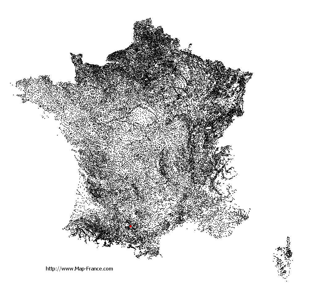
Here is the localization of Sainte-Foy-d'Aigrefeuille on the France map of departments in Lambert 93 coordinates. The city of Sainte-Foy-d'Aigrefeuille is shown on the map by a red point.
The town of Sainte-Foy-d'Aigrefeuille is located in the department of Haute-Garonne of the french region Midi-Pyrénées.
The latitude of Sainte-Foy-d'Aigrefeuille is 43.543 degrees North.
The longitude of Sainte-Foy-d'Aigrefeuille is 1.61 degrees East.
Here the distance between Sainte-Foy-d'Aigrefeuille and the biggest cities of France:
Distances are calculated as the crow flies (orthodromic distance)
Distance between Sainte-Foy-d'Aigrefeuille and Paris : 593.56 kilometers
Distance between Sainte-Foy-d'Aigrefeuille and Marseille : 306.97 kilometers
Distance between Sainte-Foy-d'Aigrefeuille and Lyon : 354.39 kilometers
Distance between Sainte-Foy-d'Aigrefeuille and Toulouse : 14.36 kilometers
Distance between Sainte-Foy-d'Aigrefeuille and Nice : 454.85 kilometers
Distance between Sainte-Foy-d'Aigrefeuille and Nantes : 477.21 kilometers
Distance between Sainte-Foy-d'Aigrefeuille and Strasbourg : 733.16 kilometers
Distance between Sainte-Foy-d'Aigrefeuille and Montpellier : 182.37 kilometers
Distance between Sainte-Foy-d'Aigrefeuille and Bordeaux : 226.21 kilometers
Distance between Sainte-Foy-d'Aigrefeuille and Lille : 794.63 kilometers
Distance between Sainte-Foy-d'Aigrefeuille and Rennes : 567.46 kilometers
Distance between Sainte-Foy-d'Aigrefeuille and Reims : 661.45 kilometers
Clic here to see the map of Sainte-Foy-d'Aigrefeuille in full screen:
Sainte-Foy-d%27Aigrefeuille on the map of french departments
|
This administrative map of Sainte-Foy-d'Aigrefeuille is reusable and modifiable by making a link to this page of the Map-France.com website or by using the given code :
|
Administrative base maps of Sainte-Foy-d'Aigrefeuille
|

See the administrative base map of Sainte-Foy-d'Aigrefeuille in full screen (1000 x 949)
|
Small administrative base map of Sainte-Foy-d'Aigrefeuille
|
This base map administrative of Sainte-Foy-d'Aigrefeuille is reusable and modifiable by making a link to this page of the Map-France.com website or by using the given code :
|
 French Version : http://www.cartesfrance.fr