Map of France

Sainte-Léocadie photos


Find a town, a zip code,
a department, a region... in France
I like Map-France.com !


Sainte-Léocadie pictures


Here are the photos of the town of Sainte-Léocadie and nearby towns. Sainte-Léocadie is located in the department of Pyrénées-Orientales in the region of Languedoc-Roussillon. You will find the satellite map of Sainte-Léocadie under these photos.

To see photos of nearby towns of Sainte-Léocadie, you can try the following links :
   - Photo of Nahuja (66340) : town located at 1.41 km
   - Photo of Err (66800) : town located at 2.34 km
   - Photo of Osséja (66340) : town located at 3.06 km
   - Photo of Estavar (66800) : town located at 3.65 km
   - Photo of Saillagouse (66800) : town located at 3.76 km
   - Photo of Palau-de-Cerdagne (66340) : town located at 3.88 km
   - Photo of Bourg-Madame (66760) : town located at 5.11 km
   - Photo of Llo (66800) : town located at 5.27 km
   - Photo of Valcebollère (66340) : town located at 5.83 km
   - Photo of Angoustrine-Villeneuve-des-Escaldes (66760) : town located at 6.44 km
   - Photo of Ur (66760) : town located at 6.55 km
   - Photo of Targassonne (66120) : town located at 7.14 km

 - photos of the department prefecture of Pyrénées-Orientales : photos of Perpignan
 - pictures of others cities of Pyrénées-Orientales : Pyrénées-Orientales


To see Sainte-Léocadie from the sky, here is the satellite map of the town of Sainte-Léocadie : Sainte-Léocadie map.

I like Sainte-Léocadie !


Photos of the town of Sainte-Léocadie

These photos taken near the town of Sainte-Léocadie can be shown in full screen clicking on the thumbnails. Photos are copyrighted by their owners.

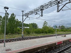
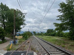
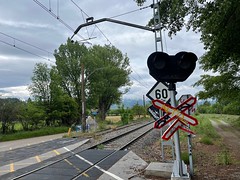
Puigcerdà station tracks - Photo of Sainte-Léocadie
Puigcerdà station tracks

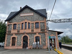
Puigcerdà station - Photo of Sainte-Léocadie
Puigcerdà station

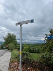
França sign - Photo of Sainte-Léocadie
França sign

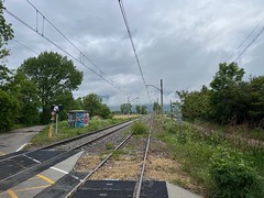
Active broad gauge line, and abandoned standard gauge line - near Puigcerdà - Photo of Sainte-Léocadie
Active broad gauge line, and abandoned standard gauge line - near Puigcerdà

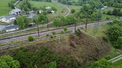
Broad gauge track (active) and standard gauge (abandoned) between Puigcerdà and the border - Photo of Sainte-Léocadie
Broad gauge track (active) and standard gauge (abandoned) between Puigcerdà and the border

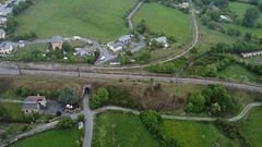
Broad gauge track (active) and standard gauge (abandoned) between Puigcerdà and the border - Photo of Sainte-Léocadie
Broad gauge track (active) and standard gauge (abandoned) between Puigcerdà and the border

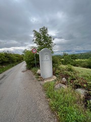
Border stone towards Puigcerdà - Photo of Sainte-Léocadie
Border stone towards Puigcerdà

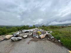
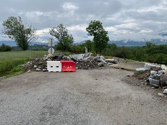
Border road block - Photo of Sainte-Léocadie
Border road block

Border road block - Photo of Sainte-Léocadie
Border road block

3 gauges Latour-de-Carol - Photo of Sainte-Léocadie
3 gauges Latour-de-Carol

3 gauges Latour-de-Carol - Photo of Sainte-Léocadie
3 gauges Latour-de-Carol

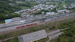
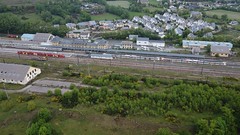
Latour de Carol-Entveitg station - drone picture, SNCF and Renfe trains in station - Photo of Sainte-Léocadie
Latour de Carol-Entveitg station - drone picture, SNCF and Renfe trains in station

Latour de Carol-Entveitg station - drone picture, SNCF and Renfe trains in station - Photo of Sainte-Léocadie
Latour de Carol-Entveitg station - drone picture, SNCF and Renfe trains in station

Latour de Carol-Entveitg station - drone picture, SNCF and Renfe trains in station - Photo of Sainte-Léocadie
Latour de Carol-Entveitg station - drone picture, SNCF and Renfe trains in station


Sainte-Léocadie from the sky


Old photos of the town of Sainte-Léocadie

These photos taken near the town of Sainte-Léocadie can be shown in full screen clicking on the thumbnails. Photos are copyrighted by their owners.


Other maps, hotels and towns in france


Find another town, zip code, department, region, ...


Quick links Sainte-Léocadie :


Back to the menus Map of France :


Make a link to this page of Sainte-Léocadie with the following code :


Map of France | Regions | Departments | Cities | Partners | Terms | Contact