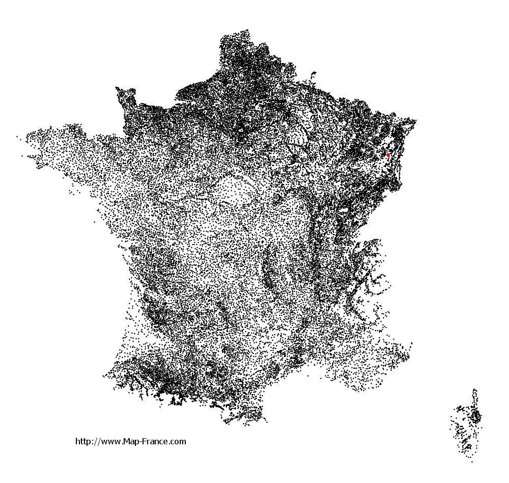
Sainte-Marie-aux-Mines on the relief France map in Lambert 93 coordinates
|

See the map of Sainte-Marie-aux-Mines in full screen (1000 x 949)
|
At left, here is the location of Sainte-Marie-aux-Mines on the relief France map in Lambert 93 coordinates.
Here are the altitudes of Sainte-Marie-aux-Mines :
- Town hall altitude of Sainte-Marie-aux-Mines is 330 meters
- Minimum altitude of Sainte-Marie-aux-Mines is 326 meters
- Maximum altitude of Sainte-Marie-aux-Mines is 1 210 meters
- Medium altitude of Sainte-Marie-aux-Mines is 768 meters
Here are the altitudes of Colmar, prefecture of Haut-Rhin department:
- Town hall altitude of Colmar is 198 meters
- Minimum altitude of Colmar is 175 meters
- Maximum altitude of Colmar is 214 meters
- Medium altitude of Colmar is 195 meters
Here are the altitudes of the french biggest cities:
Paris : 33 meters
Marseille : 20 meters
Lyon : 237 meters
Toulouse : 146 meters
Nice : 10 meters
Nantes : 20 meters
Strasbourg : 144 meters
Montpellier : 35 meters
Bordeaux : 16 meters
Lille : 20 meters
Rennes : 35 meters
Reims : 83 meters
Click here for the terrain map of Sainte-Marie-aux-Mines in full screen:
Relief map of Sainte-Marie-aux-Mines
|
This relief map of Sainte-Marie-aux-Mines is reusable and modifiable by making a link to this page of the Map-France.com website or by using the given code :
|
Terrain base map of Sainte-Marie-aux-Mines
|

See the terrain base map of Sainte-Marie-aux-Mines in full screen (1000 x 949)
|
Small relief base map of Sainte-Marie-aux-Mines

|
This base map of Sainte-Marie-aux-Mines is reusable and modifiable by making a link to this page of the Map-France.com website or by using the given code :
|
Map of Sainte-Marie-aux-Mines with regions and prefectures
|
View the map of Sainte-Marie-aux-Mines in full screen (1000 x 949)
|
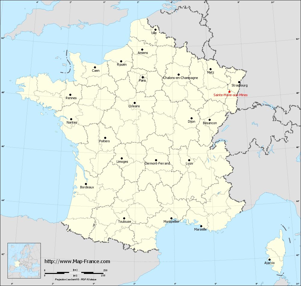
You will find the location of Sainte-Marie-aux-Mines on the map of France of regions in Lambert 93 coordinates. The city of Sainte-Marie-aux-Mines is located in the department of Haut-Rhin of the french region Alsace.
Geographical sexagesimal coordinates / GPS (WGS84):
Latitude: 48° 14' 48'' North
Longitude: 07° 11' 02'' East
Geographical decimal coordinates :
Latitude: 48.244 degrees (48.244° North)
Longitude: 7.181 degrees (7.181° East)
Lambert 93 coordinates :
X: 10 104 hectometers
Y: 68 023 hectometers
Lambert 2 coordinates :
X: 9 599 hectometers
Y: 23 719 hectometers
Below, the geographical coordinates of Colmar, prefecture of the Haut-Rhin department:
Geographical sexagesimal coordinates / GPS (WGS84):
Latitude: 48° 04' 52'' North
Longitude: 07° 21' 18'' East
Geographical decimal coordinates :
Latitude: 48.078 degrees (48.078° North)
Longitude: 7.355 degrees (7.355° East)
Lambert 93 coordinates :
X: 10 241 hectometers
Y: 67 846 hectometers
Lambert 2 coordinates :
X: 9 737 hectometers
Y: 23 544 hectometers
|
This map of Sainte-Marie-aux-Mines is reusable and modifiable by making a link to this page of the Map-France.com website or by using the given code :
|
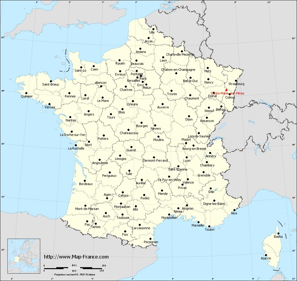
Map of Sainte-Marie-aux-Mines with departments and prefectures
|
Voir la carte of Sainte-Marie-aux-Mines en grand format (1000 x 949)
|
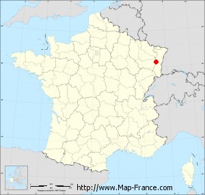
Here is the localization of Sainte-Marie-aux-Mines on the France map of departments in Lambert 93 coordinates. The city of Sainte-Marie-aux-Mines is shown on the map by a red point.
The city of Sainte-Marie-aux-Mines is located in the department of Haut-Rhin of the french region Alsace.
The latitude of Sainte-Marie-aux-Mines is 48.244 degrees North.
The longitude of Sainte-Marie-aux-Mines is 7.181 degrees East.
Here the distance between Sainte-Marie-aux-Mines and the biggest cities of France:
Distances are calculated as the crow flies (orthodromic distance)
Distance between Sainte-Marie-aux-Mines and Paris : 362.10 kilometers
Distance between Sainte-Marie-aux-Mines and Marseille : 566.68 kilometers
Distance between Sainte-Marie-aux-Mines and Lyon : 328.33 kilometers
Distance between Sainte-Marie-aux-Mines and Toulouse : 679.68 kilometers
Distance between Sainte-Marie-aux-Mines and Nice : 504.28 kilometers
Distance between Sainte-Marie-aux-Mines and Nantes : 662.28 kilometers
Distance between Sainte-Marie-aux-Mines and Strasbourg : 56.75 kilometers
Distance between Sainte-Marie-aux-Mines and Montpellier : 574.84 kilometers
Distance between Sainte-Marie-aux-Mines and Bordeaux : 702.45 kilometers
Distance between Sainte-Marie-aux-Mines and Lille : 399.22 kilometers
Distance between Sainte-Marie-aux-Mines and Rennes : 656.38 kilometers
Distance between Sainte-Marie-aux-Mines and Reims : 256.74 kilometers
Clic here to see the map of Sainte-Marie-aux-Mines in full screen:
Sainte-Marie-aux-Mines on the map of french departments
|
This administrative map of Sainte-Marie-aux-Mines is reusable and modifiable by making a link to this page of the Map-France.com website or by using the given code :
|
Administrative base maps of Sainte-Marie-aux-Mines
|
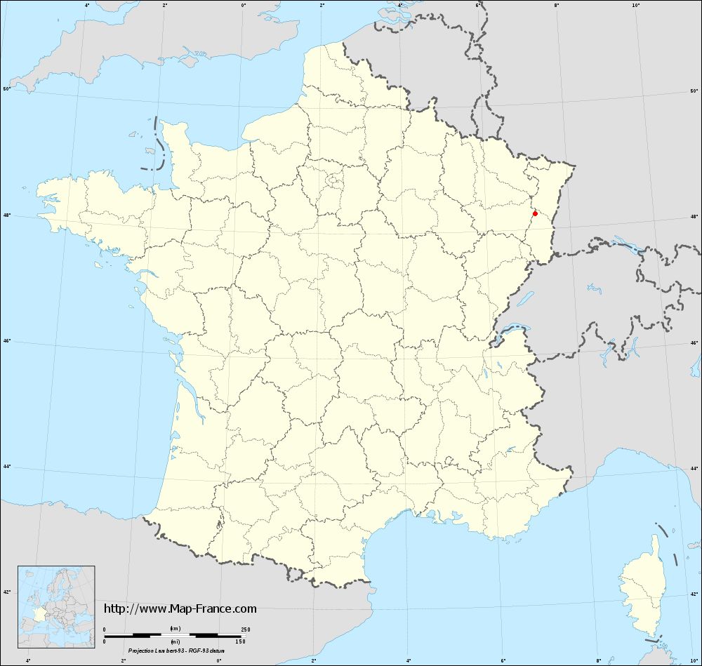
See the administrative base map of Sainte-Marie-aux-Mines in full screen (1000 x 949)
|
Small administrative base map of Sainte-Marie-aux-Mines
|
This base map administrative of Sainte-Marie-aux-Mines is reusable and modifiable by making a link to this page of the Map-France.com website or by using the given code :
|
 French Version : http://www.cartesfrance.fr