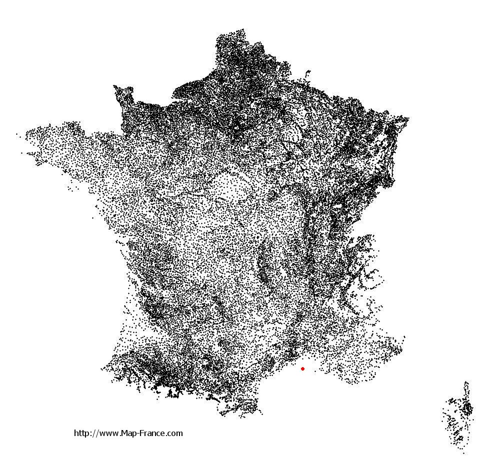
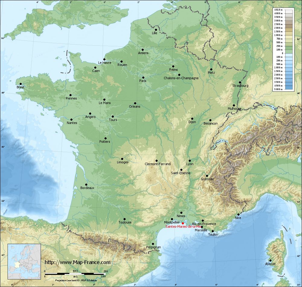
Saintes-Maries-de-la-Mer on the relief France map in Lambert 93 coordinates
|
See the map of Saintes-Maries-de-la-Mer in full screen (1000 x 949)
|
At left, here is the location of Saintes-Maries-de-la-Mer on the relief France map in Lambert 93 coordinates.
Here are the altitudes of Saintes-Maries-de-la-Mer :
- Town hall altitude of Saintes-Maries-de-la-Mer is 2 meters
- Minimum altitude of Saintes-Maries-de-la-Mer is 0 meters
- Maximum altitude of Saintes-Maries-de-la-Mer is 6 meters
- Medium altitude of Saintes-Maries-de-la-Mer is 3 meters
Here are the altitudes of Marseille, prefecture of Bouches-du-Rhône department:
- Town hall altitude of Marseille is 20 meters
- Minimum altitude of Marseille is 0 meters
- Maximum altitude of Marseille is 640 meters
- Medium altitude of Marseille is 320 meters
Here are the altitudes of the french biggest cities:
Paris : 33 meters
Marseille : 20 meters
Lyon : 237 meters
Toulouse : 146 meters
Nice : 10 meters
Nantes : 20 meters
Strasbourg : 144 meters
Montpellier : 35 meters
Bordeaux : 16 meters
Lille : 20 meters
Rennes : 35 meters
Reims : 83 meters
Click here for the terrain map of Saintes-Maries-de-la-Mer in full screen:
Relief map of Saintes-Maries-de-la-Mer
|
This relief map of Saintes-Maries-de-la-Mer is reusable and modifiable by making a link to this page of the Map-France.com website or by using the given code :
|
Terrain base map of Saintes-Maries-de-la-Mer
|

See the terrain base map of Saintes-Maries-de-la-Mer in full screen (1000 x 949)
|
Small relief base map of Saintes-Maries-de-la-Mer

|
This base map of Saintes-Maries-de-la-Mer is reusable and modifiable by making a link to this page of the Map-France.com website or by using the given code :
|
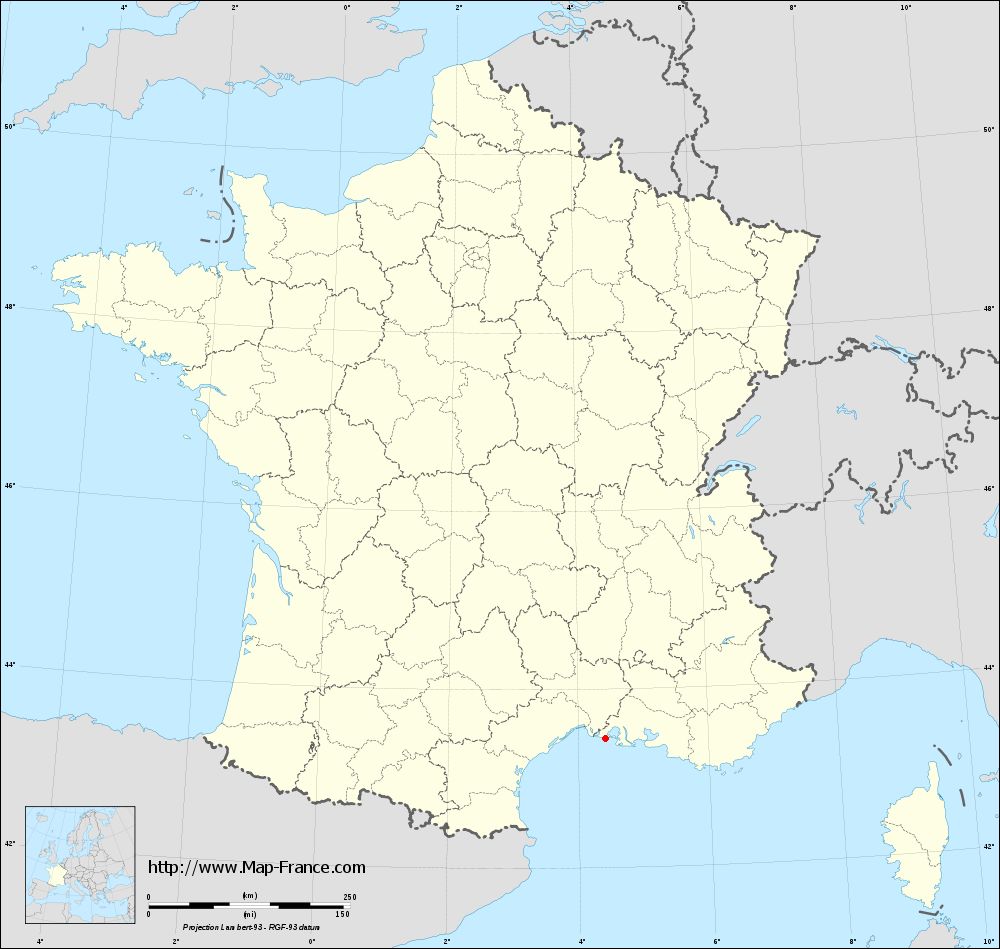
Map of Saintes-Maries-de-la-Mer with regions and prefectures
|
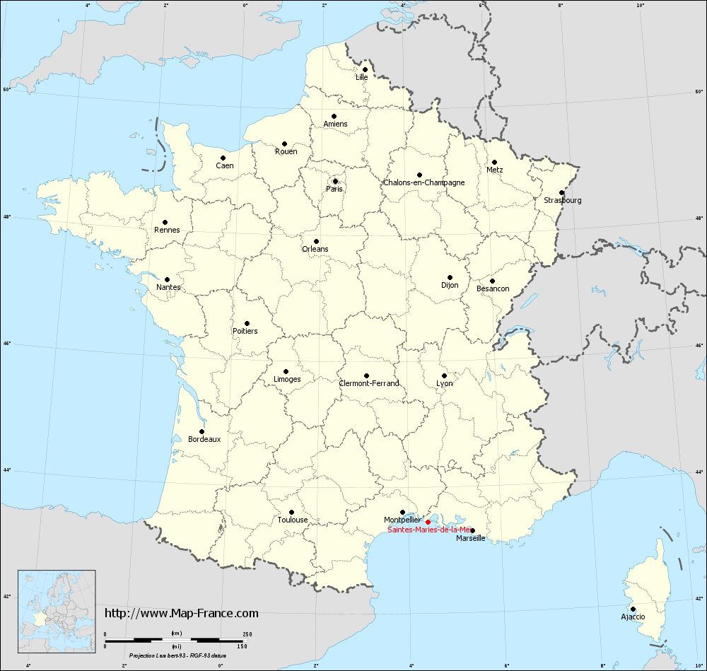
View the map of Saintes-Maries-de-la-Mer in full screen (1000 x 949)
|
You will find the location of Saintes-Maries-de-la-Mer on the map of France of regions in Lambert 93 coordinates. The city of Saintes-Maries-de-la-Mer is located in the department of Bouches-du-Rhône of the french region Provence-Alpes-Côte d'Azur.
Geographical sexagesimal coordinates / GPS (WGS84):
Latitude: 43° 27' 06'' North
Longitude: 04° 25' 41'' East
Geographical decimal coordinates :
Latitude: 43.451 degrees (43.451° North)
Longitude: 4.429 degrees (4.429° East)
Lambert 93 coordinates :
X: 8 156 hectometers
Y: 62 625 hectometers
Lambert 2 coordinates :
X: 7 695 hectometers
Y: 18 300 hectometers
Below, the geographical coordinates of Marseille, prefecture of the Bouches-du-Rhône department:
Geographical sexagesimal coordinates / GPS (WGS84):
Latitude: 43° 17' 48'' North
Longitude: 05° 22' 35'' East
Geographical decimal coordinates :
Latitude: 43.297 degrees (43.297° North)
Longitude: 5.399 degrees (5.399° East)
Lambert 93 coordinates :
X: 8 929 hectometers
Y: 62 471 hectometers
Lambert 2 coordinates :
X: 8 470 hectometers
Y: 18 152 hectometers
|
This map of Saintes-Maries-de-la-Mer is reusable and modifiable by making a link to this page of the Map-France.com website or by using the given code :
|
Map of Saintes-Maries-de-la-Mer with departments and prefectures
|
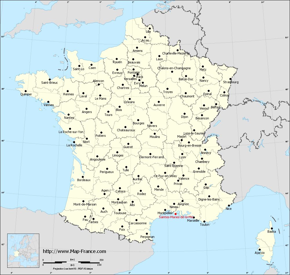
Voir la carte of Saintes-Maries-de-la-Mer en grand format (1000 x 949)
|
Here is the localization of Saintes-Maries-de-la-Mer on the France map of departments in Lambert 93 coordinates. The city of Saintes-Maries-de-la-Mer is shown on the map by a red point.
The city of Saintes-Maries-de-la-Mer is located in the department of Bouches-du-Rhône of the french region Provence-Alpes-Côte d'Azur.
The latitude of Saintes-Maries-de-la-Mer is 43.451 degrees North.
The longitude of Saintes-Maries-de-la-Mer is 4.429 degrees East.
Here the distance between Saintes-Maries-de-la-Mer and the biggest cities of France:
Distances are calculated as the crow flies (orthodromic distance)
Distance between Saintes-Maries-de-la-Mer and Paris : 622.04 kilometers
Distance between Saintes-Maries-de-la-Mer and Marseille : 80.17 kilometers
Distance between Saintes-Maries-de-la-Mer and Lyon : 258.53 kilometers
Distance between Saintes-Maries-de-la-Mer and Toulouse : 240.56 kilometers
Distance between Saintes-Maries-de-la-Mer and Nice : 229.75 kilometers
Distance between Saintes-Maries-de-la-Mer and Nantes : 627.11 kilometers
Distance between Saintes-Maries-de-la-Mer and Strasbourg : 625.31 kilometers
Distance between Saintes-Maries-de-la-Mer and Montpellier : 48.05 kilometers
Distance between Saintes-Maries-de-la-Mer and Bordeaux : 427.82 kilometers
Distance between Saintes-Maries-de-la-Mer and Lille : 804.26 kilometers
Distance between Saintes-Maries-de-la-Mer and Rennes : 700.88 kilometers
Distance between Saintes-Maries-de-la-Mer and Reims : 645.94 kilometers
Clic here to see the map of Saintes-Maries-de-la-Mer in full screen:
Saintes-Maries-de-la-Mer on the map of french departments
|
This administrative map of Saintes-Maries-de-la-Mer is reusable and modifiable by making a link to this page of the Map-France.com website or by using the given code :
|
Administrative base maps of Saintes-Maries-de-la-Mer
|
See the administrative base map of Saintes-Maries-de-la-Mer in full screen (1000 x 949)
|
Small administrative base map of Saintes-Maries-de-la-Mer
|
This base map administrative of Saintes-Maries-de-la-Mer is reusable and modifiable by making a link to this page of the Map-France.com website or by using the given code :
|
 French Version : http://www.cartesfrance.fr