|
The village of Sancergues is a small village located center of France. The town of Sancergues is located in the department of Cher of the french region Centre. The town of Sancergues is located in the township of Sancergues part of the district of Bourges. The area code for Sancergues is 18240 (also known as code INSEE), and the Sancergues zip code is 18140.
Geography and map of Sancergues :
The altitude of the city hall of Sancergues is approximately 178 meters. The Sancergues surface is 15.53 km ². The latitude and longitude of Sancergues are 47.156 degrees North and 2.919 degrees East.
Nearby cities and towns of Sancergues are :
Saint-Martin-des-Champs (18140) at 0.50 km, Jussy-le-Chaudrier (18140) at 3.47 km, Charentonnay (18140) at 3.60 km, La Chapelle-Montlinard (18140) at 5.26 km, Précy (18140) at 6.27 km, Argenvières (18140) at 6.96 km, Herry (18140) at 7.15 km, Saint-Léger-le-Petit (18140) at 7.46 km.
(The distances to these nearby towns of Sancergues are calculated as the crow flies)
Population and housing of Sancergues :
The population of Sancergues was 719 in 1999, 701 in 2006 and 698 in 2007. The population density of Sancergues is 44.95 inhabitants per km². The number of housing of Sancergues was 449 in 2007. These homes of Sancergues consist of 338 main residences, 51 second or occasional homes and 60 vacant homes. |
|
|
Hotel Sancergues
|
|
|
Book now ! Best Price Guaranteed, no booking fees, pay at the hotel with our partner Booking.com, leader in online hotel reservation.
Find all hotels of Sancergues : Hotel Sancergues
| |
|
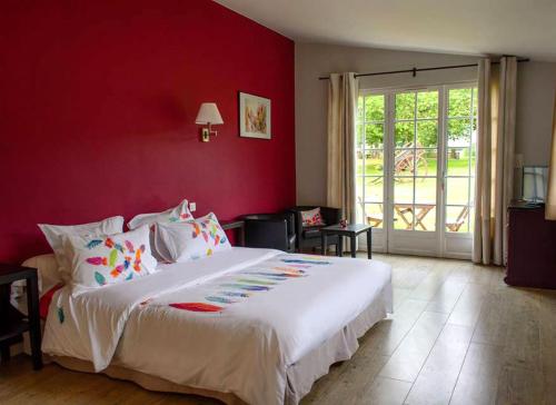
Bed and Breakfast : Chambres d'hôtes Le Moulin de Vrin
Surrounded by a 3-hectare park, this B&B features spacious and refined rooms, a terrace and a common room with books, guides and board games. La Charité-sur-Loire Train Station ...
Rate : from 95.00 €
Address : Le Moulin de Vrin 18140 Sancergues
Distance Bed and Breakfast - Sancergues : 0.79 km
|
|
|
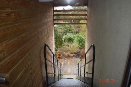
Bed and Breakfast : Le Briou
Located in Précy, Le Briou is a 15-minute drive from La Charité-sur-Loire and 8 km from Vallée de Germigny Golf Course. It offers free Wi-Fi access, a wooden terrace with outdoo...
Price : from 65.00 €
Contact : Le Briou 18140 Précy
Distance Bed and Breakfast - Sancergues : 6.94 km
|
|
|
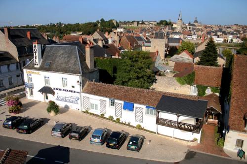
Hotel : Hotel Le Bon Laboureur

Hotel le Bon Laboureur is located in La Charité, on an island bordered by the River Loire and a 5-minute walk from the town centre. Set in a former coaching inn which dates from...
Prices : from 53.10 €
to 115.00 €
Contact : 1 Quai Romain Mollot 58400 La Charité-sur-Loire
Distance Hotel - Sancergues : 7.24 km
|
|
|
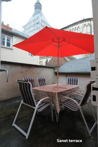
Apartment : Appartement Sanet
Located in the centre of the medieval town of La Charité-sur-Loire, Appartement Sanet is a self-catering apartment with a terrace and town views. It is equipped with free Wi-Fi ...
Contact : 33 Grande Rue 58400 La Charité-sur-Loire
Distance Apartment - Sancergues : 7.81 km
|
|
|
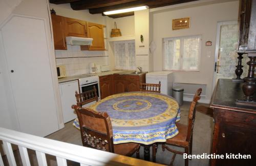
Apartment : Appartement Bénédictin
Located a 3-minute walk from La Charité-sur-Loire Church and 500 metres from the train station, Appartement Bénédictin is a two-bedroom apartment with 2 terraces. Guests can enj...
Address : 33 Grande Rue 58400 La Charité-sur-Loire
Distance Apartment - Sancergues : 7.81 km
|
|
|
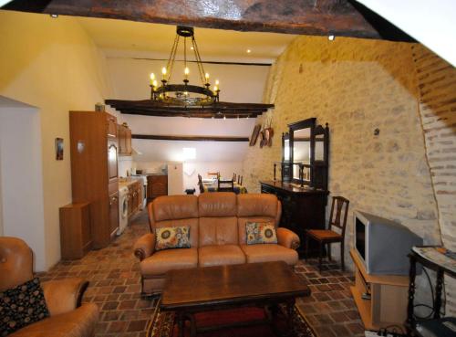
Apartment : Appartement Lucarne
A 2-level apartment set in the medieval city of La-Charité-Sur-Loire, Appartement Lucarne offers self-catering accommodation, free Wi-Fi, a view of the cathedral, and free publi...
Contact : 33 Grande Rue 58400 La Charité-sur-Loire
Distance Apartment - Sancergues : 7.82 km
|
|
|
Apartment : Appartement Meneau
Appartement Meneau is located in the centre of the medieval city of La Charité-sur-Loire, just a 1-minute walk from the church. It offers a furnished terrace, a selection of boa...
Contact : 16 rue du Puits des Ais 58400 La Charité-sur-Loire
Distance Apartment - Sancergues : 8.01 km
|
|
|
Apartment : Studio Bardin
Situated in the medieval city of La Charité-sur-Loire, this self-catering studio is located in a 15th century building and features wall stones, free Wi-Fi and a private, furnis...
Contact : 16 rue du Puits des Ais 58400 La Charité-sur-Loire
Distance Apartment - Sancergues : 8.01 km
|
|
|
Guest accommodation : Maison Vauyon
Maison Vauyon is a semi-detached holiday home situated in La Charité-sur-Loire in the Burgundy Region and is 48 km from Bourges. The unit is 23 km from Nevers. Free WiFi is offe...
Address : 37 Rue de la Vauyon 58400 La Charité-sur-Loire
Distance Guest accommodation - Sancergues : 8.05 km
|
|
|
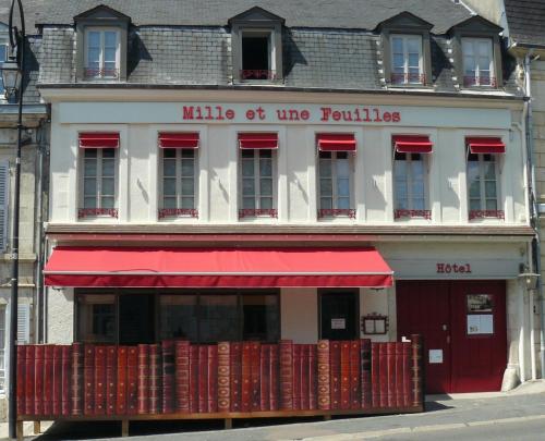
Hotel : Mille et une Feuilles
Set in an 18th century building in Charité sur Loire, the Mille et une Feuilles hotel is dedicated to French writers. Located on the St Jacques de Compostela pilgrimage route, i...
Rate : from 66.00 €
to 104.00 €
Contact : 23 Avenue Gambetta 58400 La Charité-sur-Loire
Distance Hotel - Sancergues : 8.17 km
|
|
Find another hotel near Sancergues : Sancergues hotels list
|
Map of Sancergues
|
|
Map of Sancergues :
At right you can find the localization of Sancergues on the map of France. Below, this is the satellite map of Sancergues. A road map, and maps templates of Sancergues are available here : "road map of Sancergues". This map show Sancergues seen by the satellite of Google Map. To see the streets of Sancergues or move on another zone, use the buttons "zoom" and "map" on top of this dynamic map.
Search on the map of Sancergues :
To search hotels, housings, tourist information office, administrations or other services, use the Google search integrated to the map on the following page : "map Sancergues".
Hotels of Sancergues are listed on the map with the following icons: 
The map of Sancergues is centred in the following coordinates :
|

|
|
|
|
Print the map of Sancergues

Print the map of Sancergues : map of Sancergues
|
Photos Sancergues
|
See all photos of Sancergues :
Other photos of Sancergues and nearby towns can be found here: photos Sancergues
|
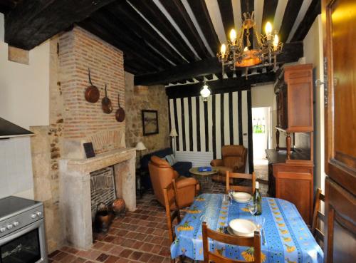
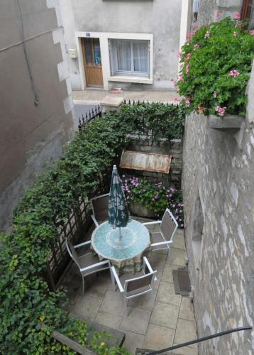
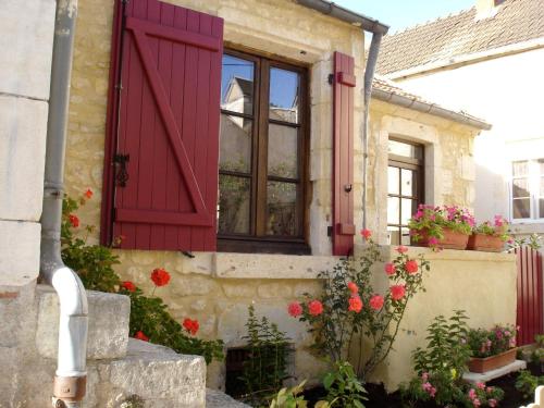
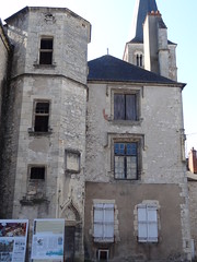
These photos taken near the town of Sancergues can be shown in full screen clicking on the thumbnails. Photos are copyrighted by their owners.
| | |

DSC06090
|
DSC06091
|
| |
DSC06092
|
DSC06093
|
| |
DSC06095
|

DSC06097
|
| |

DSC06098
|

DSC06099
|
| |

DSC06100
|

DSC06094
|
| |

DSC06091
|

DSC06092
|
| |

DSC06093
|

DSC06095
|
| |

DSC06097
|

DSC06098
|
| |
DSC06100
|

DSC06099
|
| |
DSC06094
|
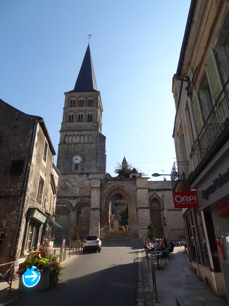
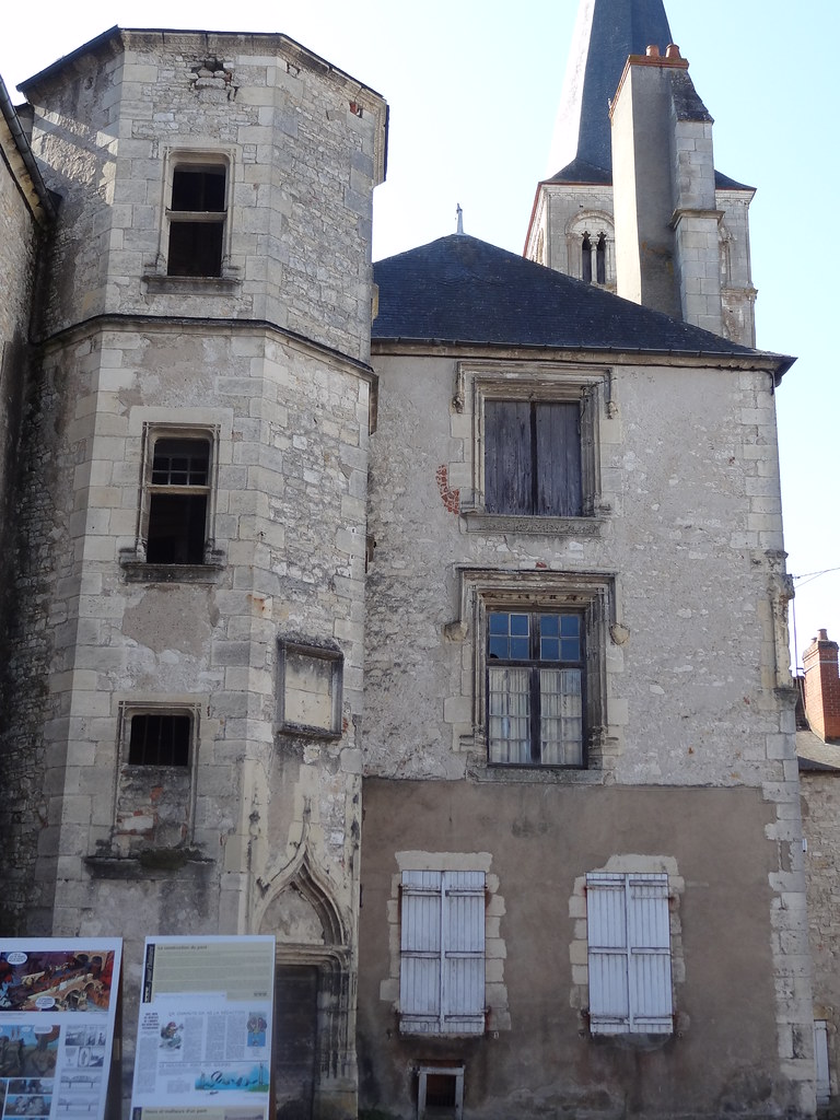
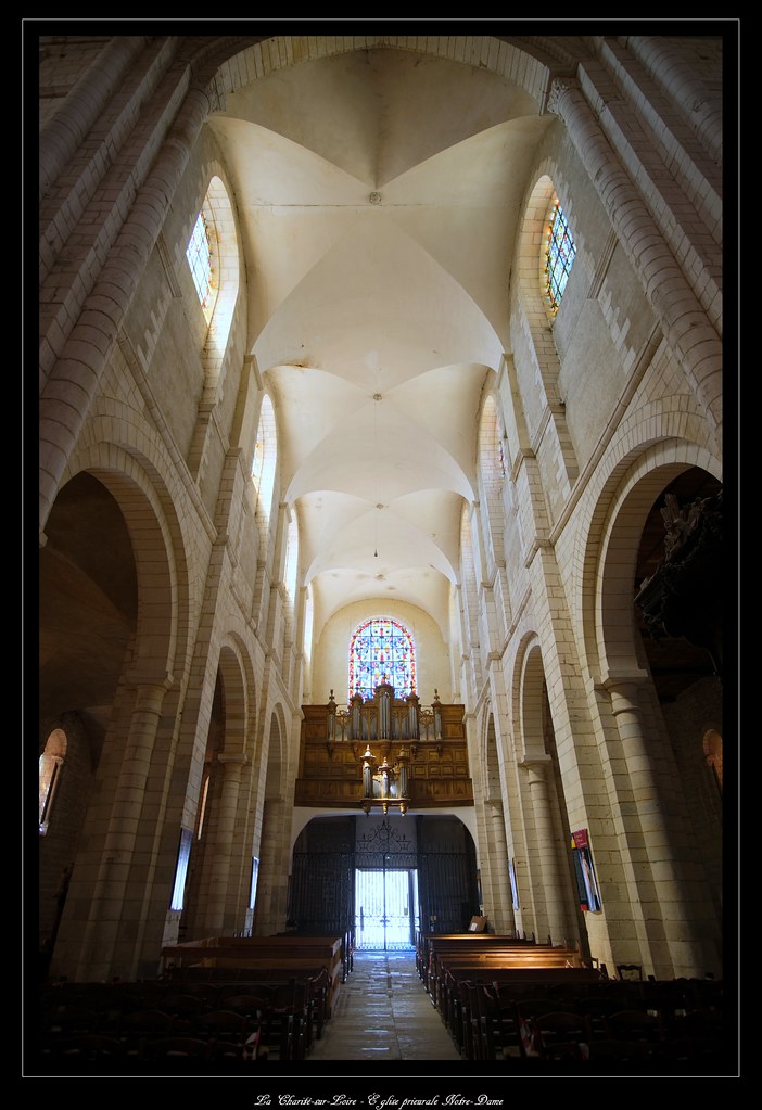
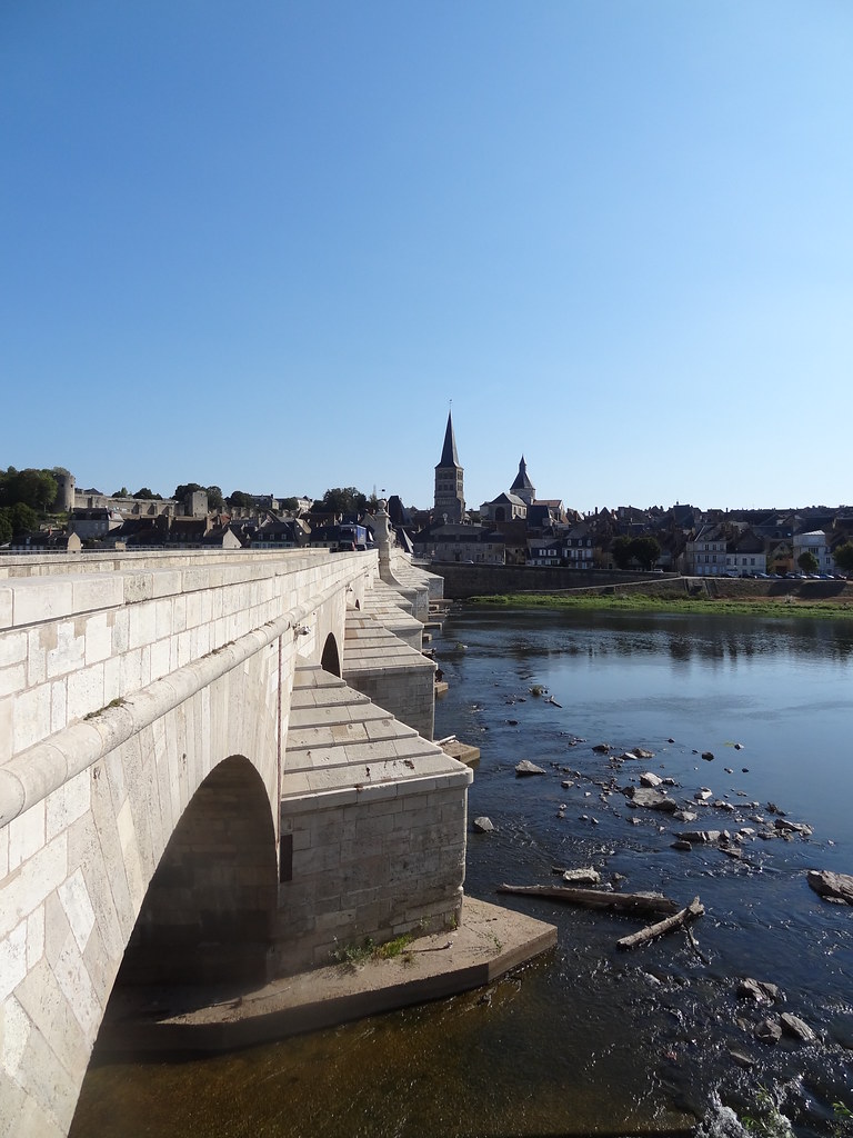
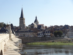
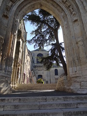
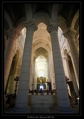
Église prieurale Sainte-Croix-Notre-Dame - La Charité-sur-Loire (Nièvre, Bourgogne, France)
|
| |

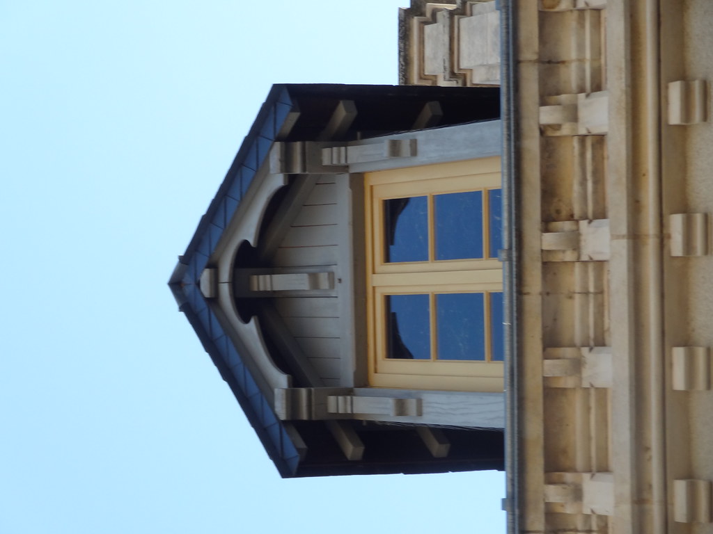
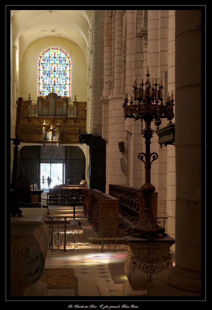
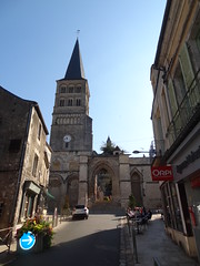
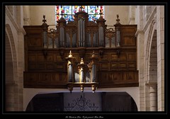
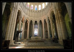
Église prieurale Sainte-Croix-Notre-Dame - La Charité-sur-Loire (Nièvre, Bourgogne, France)
|

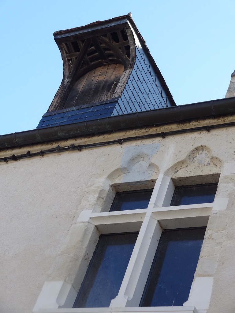
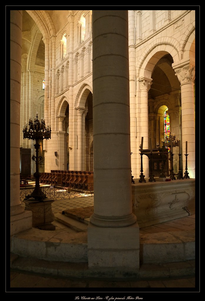
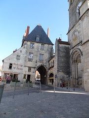
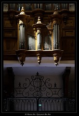
Église prieurale Sainte-Croix-Notre-Dame - La Charité-sur-Loire (Nièvre, Bourgogne, France)
|
| |
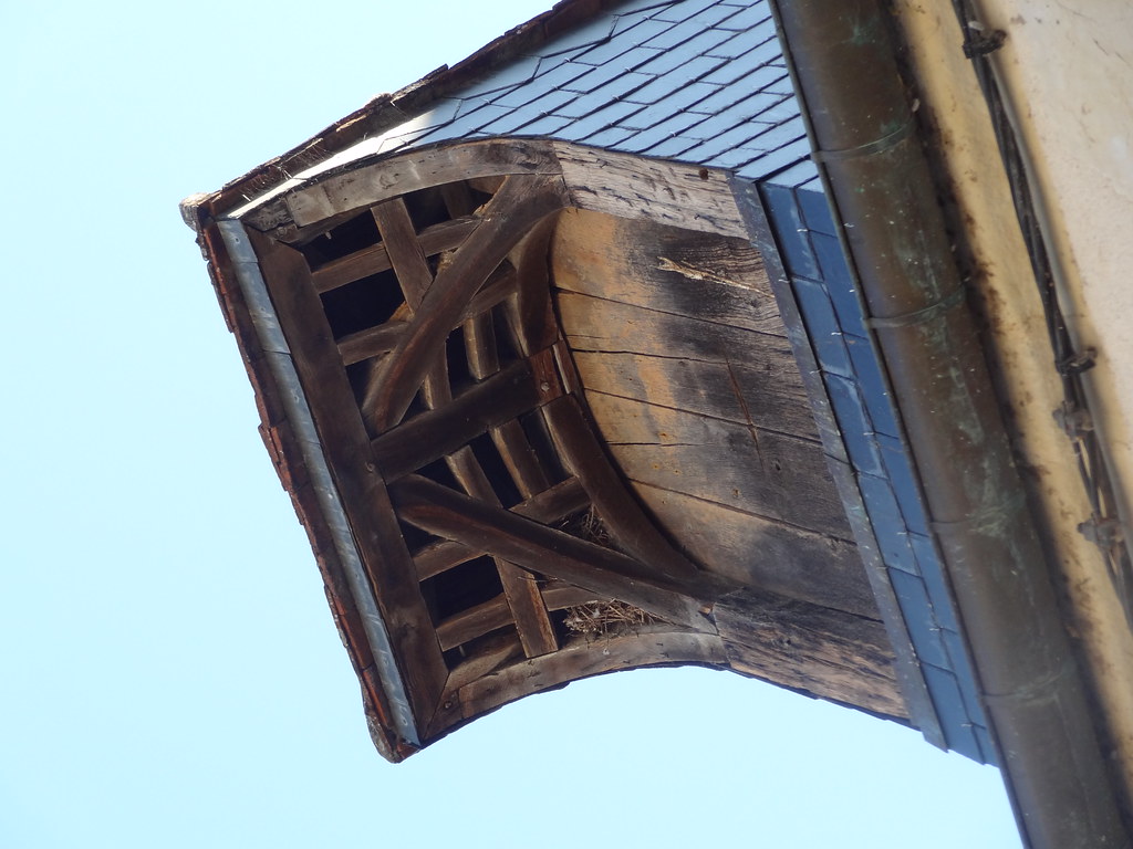
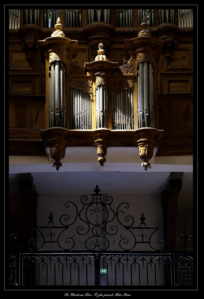
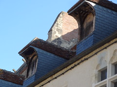
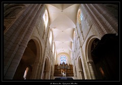
Église prieurale Sainte-Croix-Notre-Dame - La Charité-sur-Loire (Nièvre, Bourgogne, France)
|

Église prieurale Sainte-Croix-Notre-Dame - La Charité-sur-Loire (Nièvre, Bourgogne, France)
|
| |
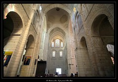
Église prieurale Sainte-Croix-Notre-Dame - La Charité-sur-Loire (Nièvre, Bourgogne, France)
|
Église prieurale Sainte-Croix-Notre-Dame - La Charité-sur-Loire (Nièvre, Bourgogne, France)
|
| |
Église prieurale Sainte-Croix-Notre-Dame - La Charité-sur-Loire (Nièvre, Bourgogne, France)
|
Église prieurale Sainte-Croix-Notre-Dame - La Charité-sur-Loire (Nièvre, Bourgogne, France)
|
| |

DSC06090
|
DSC06096
|
|
Sancergues weather forecast
Find next hours and 7 days weather forecast for Sancergues here : weather Sancergues (with english metrics)
This is the last weather forecast for Sancergues collected by the nearest observation station of Sancergues.
Week Forecast:
The latest weather data for Sancergues were collected Monday, 22 April 2024 at 17:00 from the nearest observation station of Sancergues.
| Monday, April 22nd |
10°C -0°C
0%
58%
|
Partly cloudy
Temperature Max: 10°C Temperature Min: -0°C
Precipitation Probability: 0%
Percentage of sky occluded by clouds: 58%
Wind speed: 20 km/h South
Humidity: 61%° UV Index: 3
Sunrise: 06:47 Sunset: 20:47 |
|
| | Tuesday, April 23rd |
10°C 1°C
0%
66%
|
Mostly cloudy
Temperature Max: 10°C Temperature Min: 1°C
Precipitation Probability: 0%
Percentage of sky occluded by clouds: 66%
Wind speed: 16 km/h South
Humidity: 66%° UV Index: 3
Sunrise: 06:45 Sunset: 20:49 |
|
| | Wednesday, April 24th |
10°C 1°C
23%
88%
|
Mostly cloudy
Temperature Max: 10°C Temperature Min: 1°C
Precipitation Probability: 23% (Rain)
Percentage of sky occluded by clouds: 88%
Wind speed: 15 km/h South-East
Humidity: 68%° UV Index: 3
Sunrise: 06:43 Sunset: 20:50 |
|
| | Thursday, April 25th |
11°C -0°C
0%
63%
|
Partly cloudy
Temperature Max: 11°C Temperature Min: -0°C
Precipitation Probability: 0%
Percentage of sky occluded by clouds: 63%
Wind speed: 5 km/h South-East
Humidity: 62%° UV Index: 3
Sunrise: 06:41 Sunset: 20:51 |
|
|
Attribution: 
|
|
Other maps, hotels and towns in france
Find another town, zip code, department, region, ...
Quick links Sancergues :
Make a link to this page of Sancergues with the following code :
|
|
|
 French Version : http://www.cartesfrance.fr/carte-france-ville/18240_Sancergues.html