|
|
|
|
|
|
Scharrachbergheim-Irmstett pictures
|
|
|
|
Scharrachbergheim-Irmstett from the sky
|
|
Old photos of the town of Scharrachbergheim-Irmstett
|
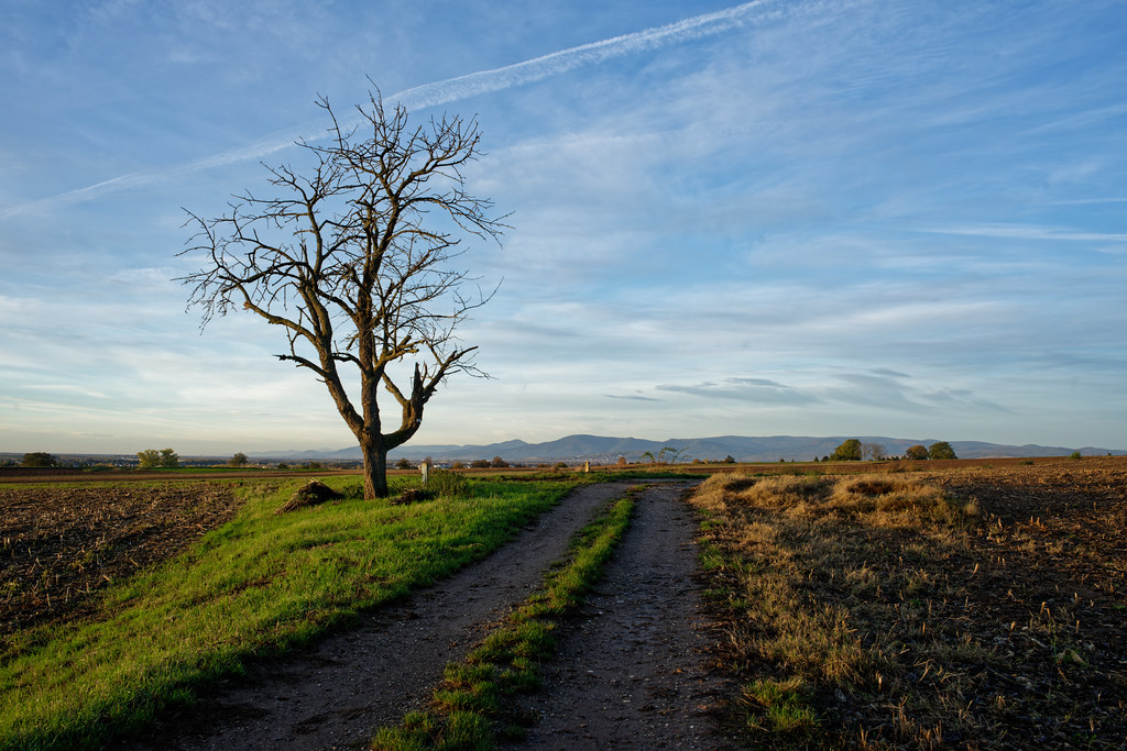
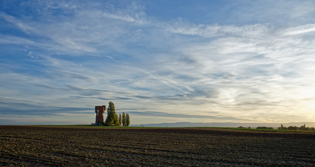
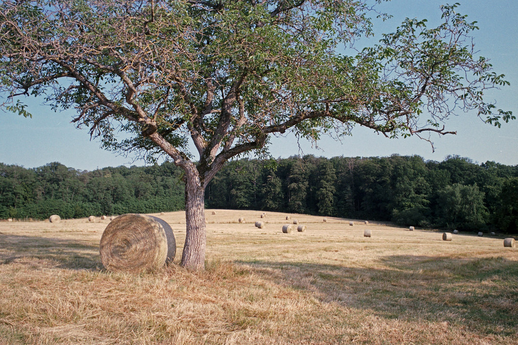
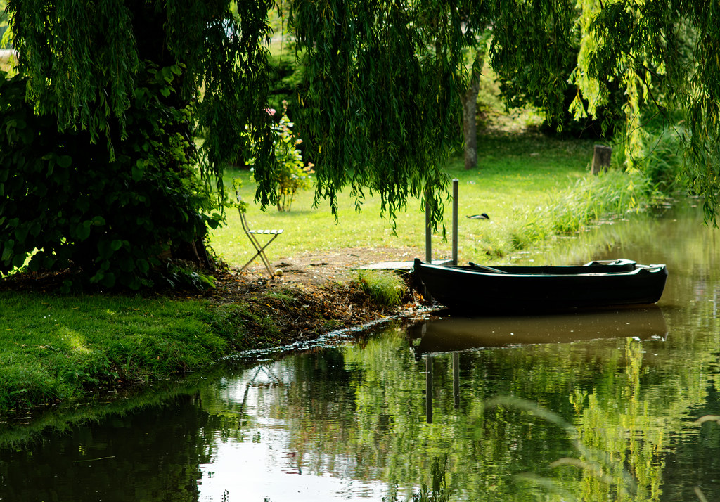
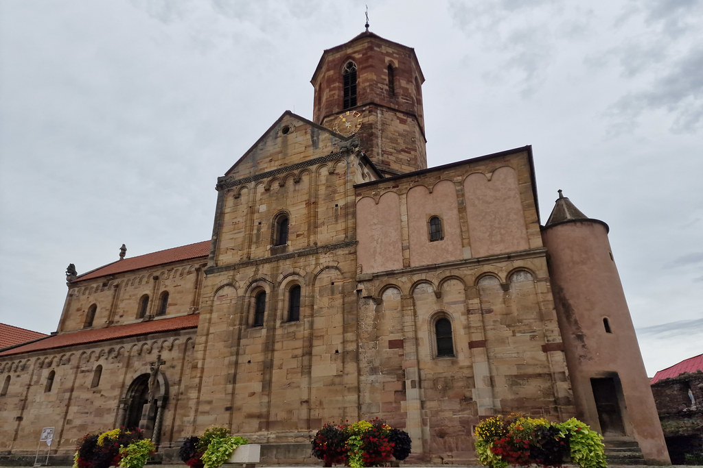
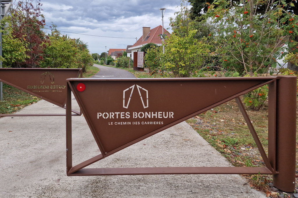
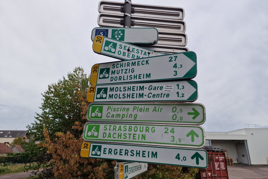
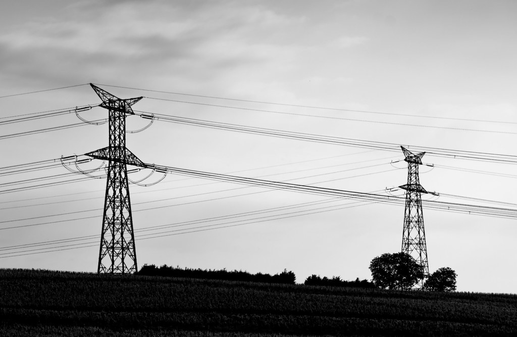
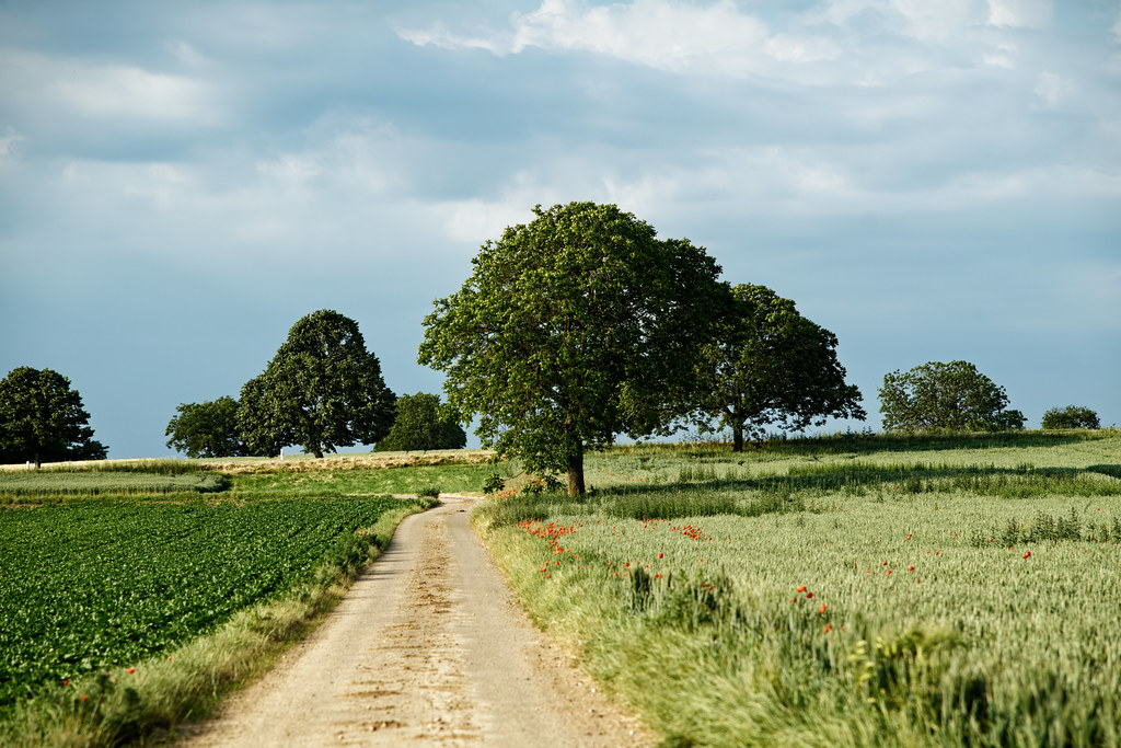
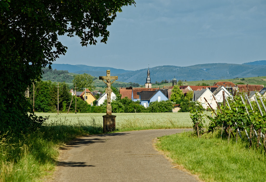
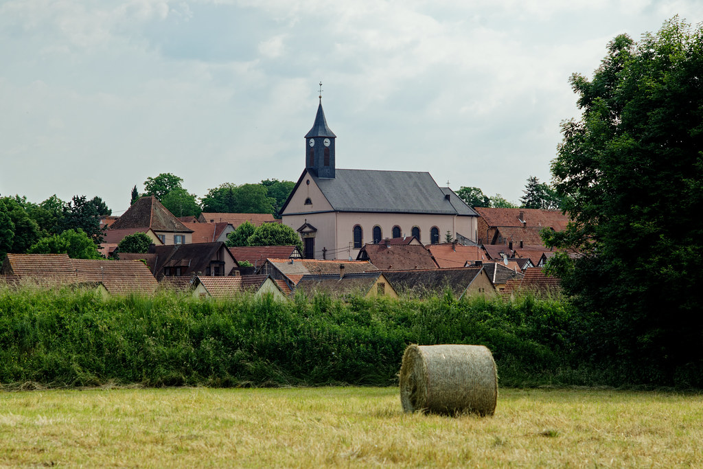
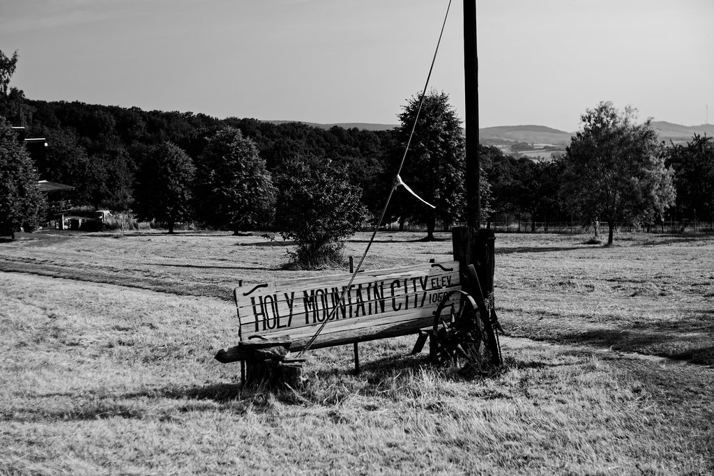
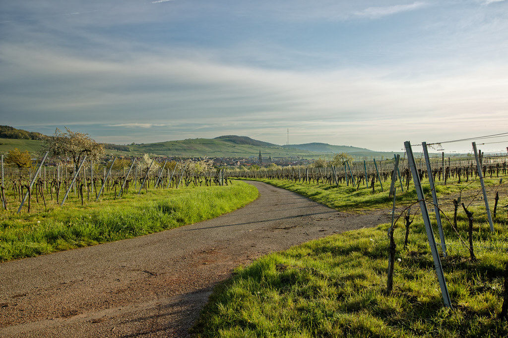
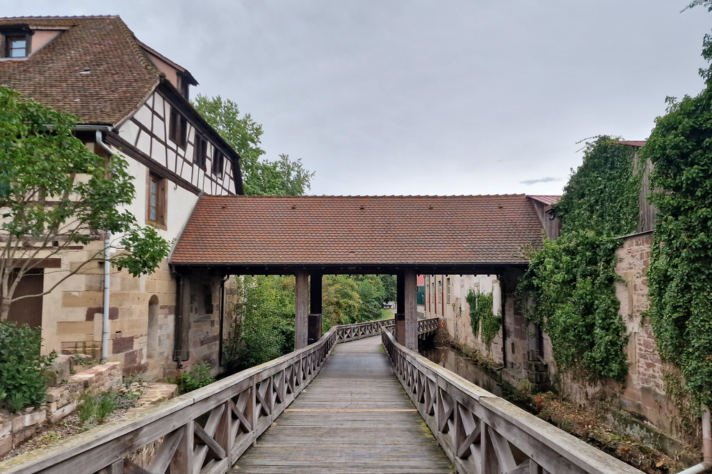
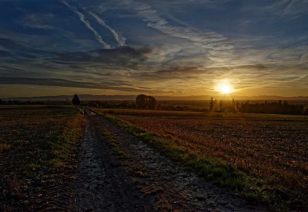
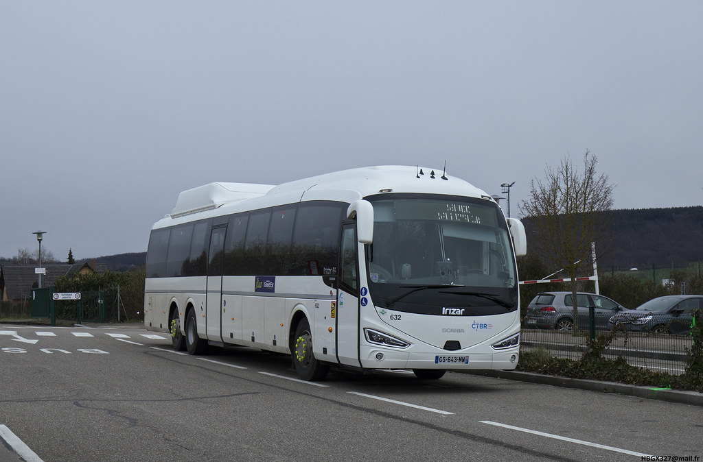
These photos taken near the town of Scharrachbergheim-Irmstett can be shown in full screen clicking on the thumbnails. Photos are copyrighted by their owners.
|
|
Other maps, hotels and towns in france
Find another town, zip code, department, region, ...
Quick links Scharrachbergheim-Irmstett :
Back to the menus Map of France :
Make a link to this page of Scharrachbergheim-Irmstett with the following code :
|
|
Map of France | Regions | Departments | Cities | Partners | Terms | Contact
|
![Camion Shell [Mercedes ?] de piste de l-aéroport de Strasbourg-Entzheim - Photo of Scharrachbergheim-Irmstett](https://farm66.staticflickr.com/65535/53537422334_9a53e29afd_b.jpg)
![Isuzu [?] servant de véhicule de sécurité de piste de l-aéroport de Strasbourg-Entzheim - Photo of Scharrachbergheim-Irmstett](https://farm66.staticflickr.com/65535/53537422139_4fe23198be_b.jpg)