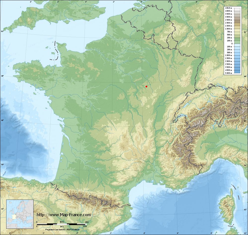
Sennevoy-le-Haut on the relief France map in Lambert 93 coordinates
|

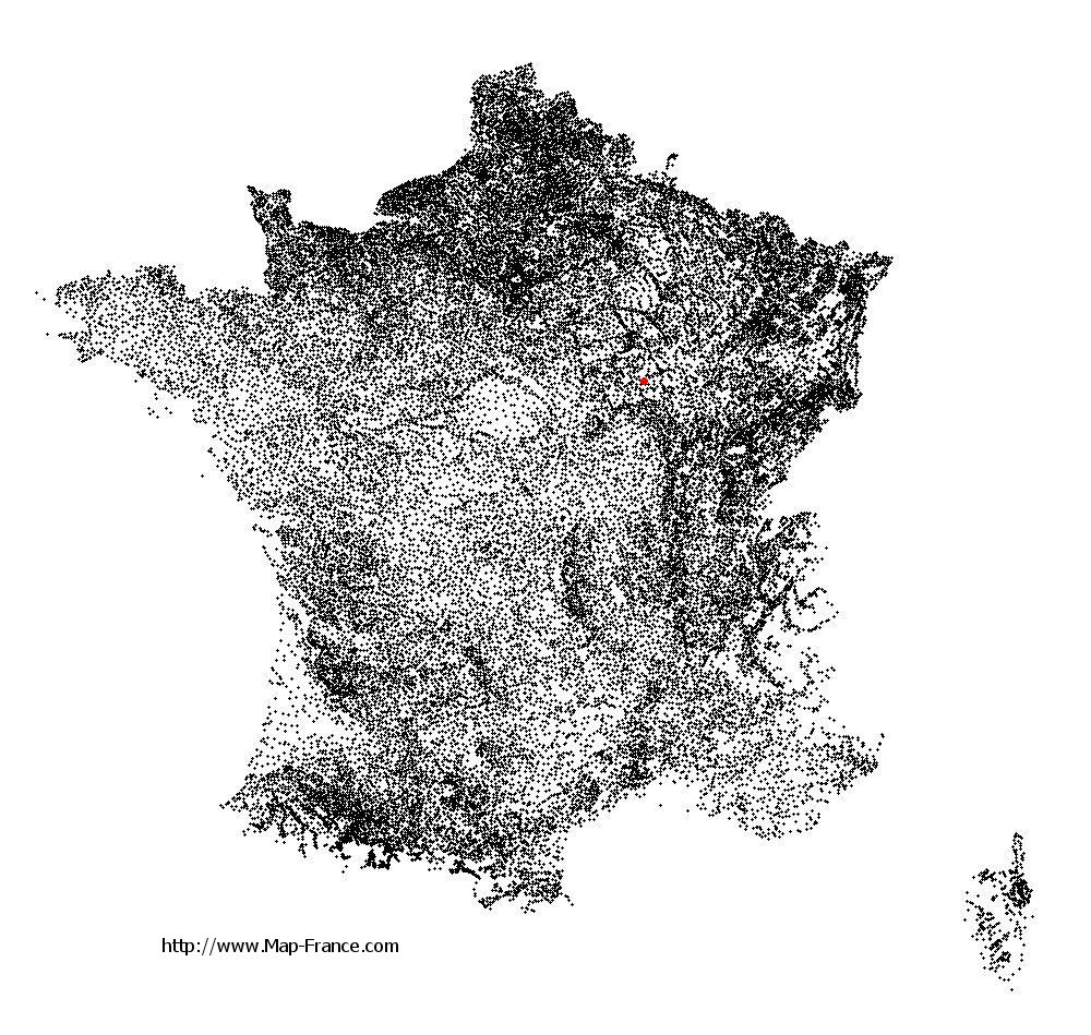
See the map of Sennevoy-le-Haut in full screen (1000 x 949)
|
At left, here is the location of Sennevoy-le-Haut on the relief France map in Lambert 93 coordinates.
Here are the altitudes of Sennevoy-le-Haut :
- Town hall altitude of Sennevoy-le-Haut is 250 meters
- Minimum altitude of Sennevoy-le-Haut is 238 meters
- Maximum altitude of Sennevoy-le-Haut is 320 meters
- Medium altitude of Sennevoy-le-Haut is 279 meters
Here are the altitudes of Auxerre, prefecture of Yonne department:
- Town hall altitude of Auxerre is 120 meters
- Minimum altitude of Auxerre is 93 meters
- Maximum altitude of Auxerre is 217 meters
- Medium altitude of Auxerre is 155 meters
Here are the altitudes of the french biggest cities:
Paris : 33 meters
Marseille : 20 meters
Lyon : 237 meters
Toulouse : 146 meters
Nice : 10 meters
Nantes : 20 meters
Strasbourg : 144 meters
Montpellier : 35 meters
Bordeaux : 16 meters
Lille : 20 meters
Rennes : 35 meters
Reims : 83 meters
Click here for the terrain map of Sennevoy-le-Haut in full screen:
Relief map of Sennevoy-le-Haut
|
This relief map of Sennevoy-le-Haut is reusable and modifiable by making a link to this page of the Map-France.com website or by using the given code :
|
Terrain base map of Sennevoy-le-Haut
|
See the terrain base map of Sennevoy-le-Haut in full screen (1000 x 949)
|
Small relief base map of Sennevoy-le-Haut

|
This base map of Sennevoy-le-Haut is reusable and modifiable by making a link to this page of the Map-France.com website or by using the given code :
|
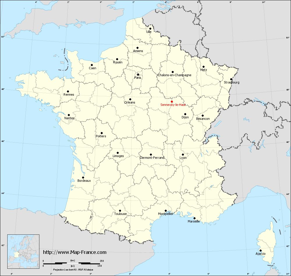
Map of Sennevoy-le-Haut with regions and prefectures
|
View the map of Sennevoy-le-Haut in full screen (1000 x 949)
|
You will find the location of Sennevoy-le-Haut on the map of France of regions in Lambert 93 coordinates. The town of Sennevoy-le-Haut is located in the department of Yonne of the french region Bourgogne.
Geographical sexagesimal coordinates / GPS (WGS84):
Latitude: 47° 48' 27'' North
Longitude: 04° 16' 50'' East
Geographical decimal coordinates :
Latitude: 47.809 degrees (47.809° North)
Longitude: 4.281 degrees (4.281° East)
Lambert 93 coordinates :
X: 7 958 hectometers
Y: 67 460 hectometers
Lambert 2 coordinates :
X: 7 456 hectometers
Y: 23 138 hectometers
Below, the geographical coordinates of Auxerre, prefecture of the Yonne department:
Geographical sexagesimal coordinates / GPS (WGS84):
Latitude: 47° 47' 51'' North
Longitude: 03° 34' 01'' East
Geographical decimal coordinates :
Latitude: 47.798 degrees (47.798° North)
Longitude: 3.571 degrees (3.571° East)
Lambert 93 coordinates :
X: 7 424 hectometers
Y: 67 443 hectometers
Lambert 2 coordinates :
X: 6 922 hectometers
Y: 23 116 hectometers
|
This map of Sennevoy-le-Haut is reusable and modifiable by making a link to this page of the Map-France.com website or by using the given code :
|
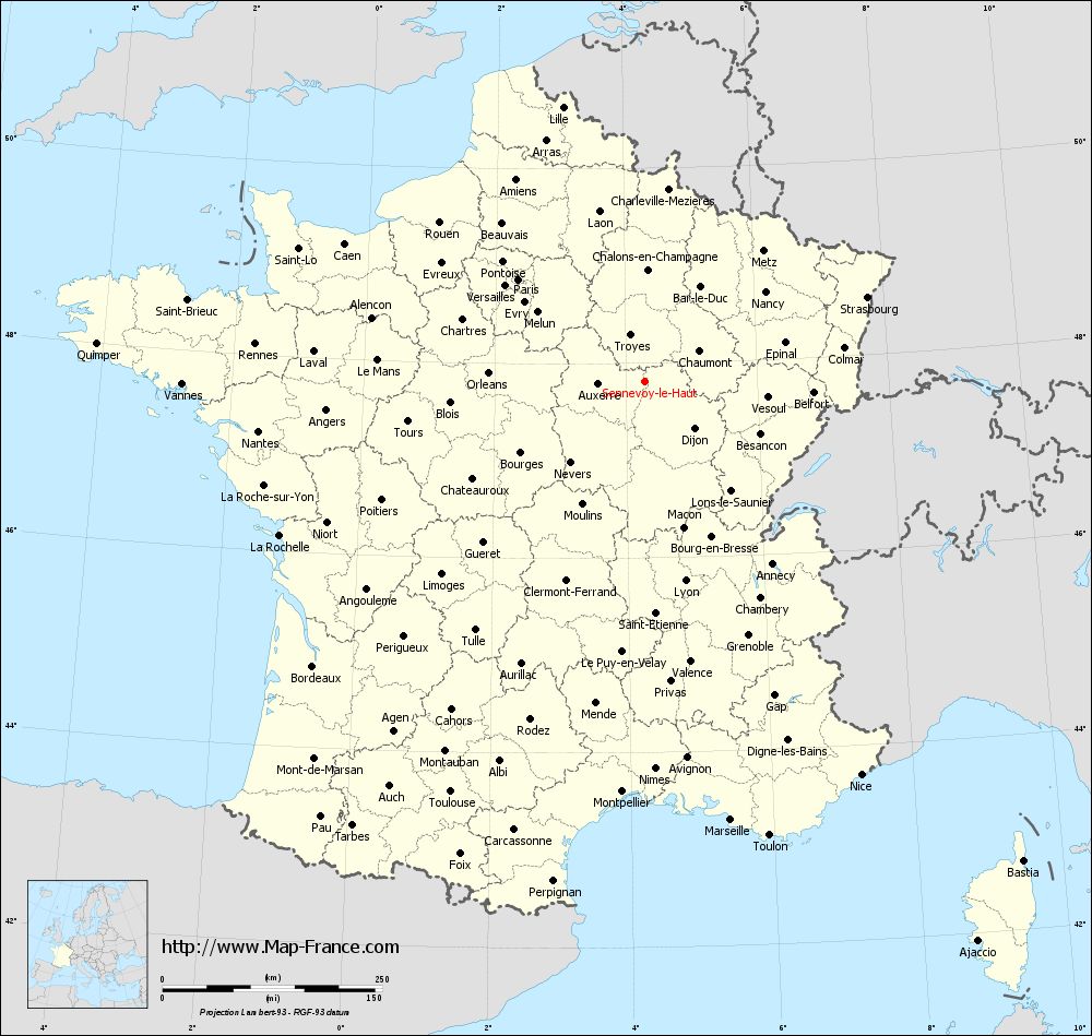
Map of Sennevoy-le-Haut with departments and prefectures
|
Voir la carte of Sennevoy-le-Haut en grand format (1000 x 949)
|
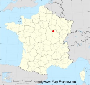
Here is the localization of Sennevoy-le-Haut on the France map of departments in Lambert 93 coordinates. The city of Sennevoy-le-Haut is shown on the map by a red point.
The town of Sennevoy-le-Haut is located in the department of Yonne of the french region Bourgogne.
The latitude of Sennevoy-le-Haut is 47.809 degrees North.
The longitude of Sennevoy-le-Haut is 4.281 degrees East.
Here the distance between Sennevoy-le-Haut and the biggest cities of France:
Distances are calculated as the crow flies (orthodromic distance)
Distance between Sennevoy-le-Haut and Paris : 184.59 kilometers
Distance between Sennevoy-le-Haut and Marseille : 508.76 kilometers
Distance between Sennevoy-le-Haut and Lyon : 231.56 kilometers
Distance between Sennevoy-le-Haut and Toulouse : 516.58 kilometers
Distance between Sennevoy-le-Haut and Nice : 511.01 kilometers
Distance between Sennevoy-le-Haut and Nantes : 442.62 kilometers
Distance between Sennevoy-le-Haut and Strasbourg : 271.36 kilometers
Distance between Sennevoy-le-Haut and Montpellier : 467.74 kilometers
Distance between Sennevoy-le-Haut and Bordeaux : 497.23 kilometers
Distance between Sennevoy-le-Haut and Lille : 325.78 kilometers
Distance between Sennevoy-le-Haut and Rennes : 444.66 kilometers
Distance between Sennevoy-le-Haut and Reims : 162.02 kilometers
Clic here to see the map of Sennevoy-le-Haut in full screen:
Sennevoy-le-Haut on the map of french departments
|
This administrative map of Sennevoy-le-Haut is reusable and modifiable by making a link to this page of the Map-France.com website or by using the given code :
|
Administrative base maps of Sennevoy-le-Haut
|

See the administrative base map of Sennevoy-le-Haut in full screen (1000 x 949)
|
Small administrative base map of Sennevoy-le-Haut
|
This base map administrative of Sennevoy-le-Haut is reusable and modifiable by making a link to this page of the Map-France.com website or by using the given code :
|
 French Version : http://www.cartesfrance.fr