|
The village of Serraval is a small village located south east of France. The town of Serraval is located in the department of Haute-Savoie of the french region Rhône-Alpes. The town of Serraval is located in the township of Thônes part of the district of Annecy. The area code for Serraval is 74265 (also known as code INSEE), and the Serraval zip code is 74230.
Geography and map of Serraval :
The altitude of the city hall of Serraval is approximately 760 meters. The Serraval surface is 19.73 km ². The latitude and longitude of Serraval are 45.803 degrees North and 6.34 degrees East.
Nearby cities and towns of Serraval are :
Le Bouchet (74230) at 1.85 km, Marlens (74210) at 4.03 km, Saint-Ferréol (74210) at 4.95 km, Montmin (74210) at 5.80 km, Cons-Sainte-Colombe (74210) at 6.01 km, Les Clefs (74230) at 6.46 km, Manigod (74230) at 6.71 km, Faverges (74210) at 7.20 km.
(The distances to these nearby towns of Serraval are calculated as the crow flies)
Population and housing of Serraval :
The population of Serraval was 487 in 1999, 607 in 2006 and 624 in 2007. The population density of Serraval is 31.63 inhabitants per km². The number of housing of Serraval was 398 in 2007. These homes of Serraval consist of 234 main residences, 154 second or occasional homes and 10 vacant homes. |
|
|
Hotel Serraval
|
|
|
Book now ! Best Price Guaranteed, no booking fees, pay at the hotel with our partner Booking.com, leader in online hotel reservation.
Find all hotels of Serraval : Hotel Serraval
| |
|
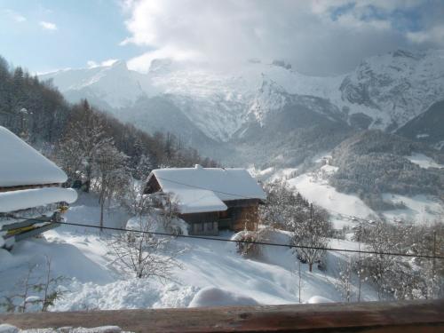
Guest accommodation : Mystic Marmot
Located in Saint-Ferréol, Mystic Marmot is a chalet located at the end of a 900-metre long forest track. The property is 47 km from Geneva and boasts views of the mountain. The...
Address : Les Lavanches 74210 Saint-Ferréol
Distance Guest accommodation - Serraval : 2.06 km
|
|
|
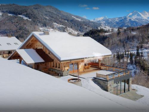
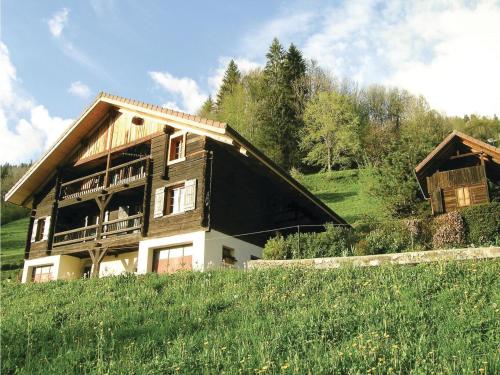
Hotel : Relais Du Charvin
Offering free WiFi, Relais Du Charvin is set in Le Bouchet-Mont Charvin. The property has a terrace, as well as a bar. The accommodation offers airport transfers, while a ski eq...
Contact : CHEF LIEU 74230 Le Bouchet-Mont Charvin
Distance Hotel - Serraval : 2.33 km
|
|
|
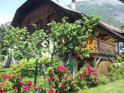
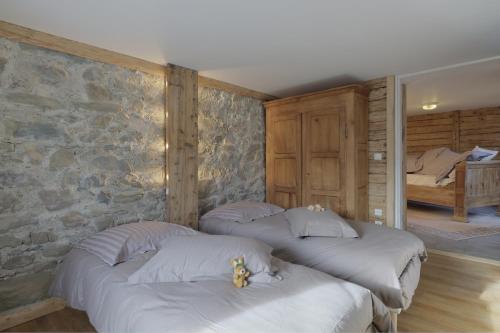
Guest accommodation : Chalet Ladroit
Located 5 km from Thônes, Chalet Ladroit offers pet-friendly accommodation in Les Clefs. The chalet features an indoor swimming pool, a steam room and a sauna. Free WiFi is prov...
Contact : Lieu-Dit Ladroit 74230 Les Clefs
Distance Guest accommodation - Serraval : 4.92 km
|
|
|
Hotel : Brit Hotel Florimont

Located between Annecy and Albertville, in the same angle as the Mont Blanc, Hotel Florimont offers a charming setting in a chalet-style hotel surrounded by a large park and mou...
Rate : from 79.00 €
to 128.00 €
Contact : 1006, Rue De Champ Canon 74210 Saint-Ferréol
Distance Hotel - Serraval : 5.18 km
|
|
|
Guest accommodation : Les Jonquilles
Featuring mountain views, Les Jonquilles features accommodation with a terrace and a coffee machine, around 7 km from Manigod Ski School. The property features pool and garden v...
Address : Lieu Dit Lachat 74230 Manigod
Distance Guest accommodation - Serraval : 5.44 km
|
|
|
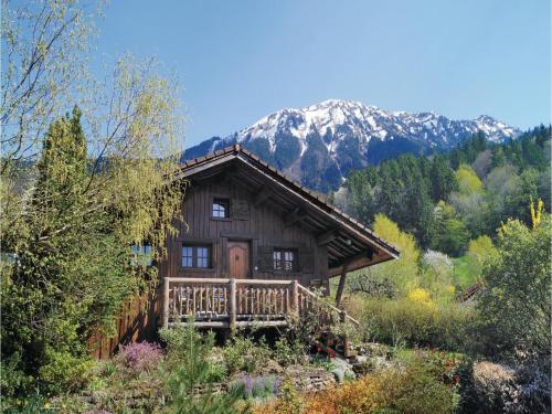
Guest accommodation : Lodge La Source
Offering ski storage space, Lodge La Source is set in Les Clefs, 16 km from La Clusaz. The accommodation features a sauna and an indoor swimming pool. Free WiFi is available thr...
Contact : Montisbrand 74230 Les Clefs
Distance Guest accommodation - Serraval : 5.88 km
|
|
|
Bed and Breakfast : Chez Marie
Offering a flowery garden, Chez Marie is located in Ugine. Free private parking is available on site. Each room has a flat-screen TV. Some rooms have a seating area where you c...
Rate : from 70.52 €
to 86.00 €
Contact : Soney 160 chemin de Champ Cortet 73400 Ugine
Distance Bed and Breakfast - Serraval : 5.89 km
|
|
|
Guest accommodation : Holiday home Cons Colombe L-895
Holiday home Cons Colombe L-895 is set in Cons-Sainte-Colombe. The accommodation is 29 km from Annecy. This holiday home features a living room and a fully equipped kitchen. M...
Contact : 74210 Cons-Sainte-Colombe
Distance Guest accommodation - Serraval : 6.25 km
|
|
|
Guest accommodation : Cashmere Spirit
Located in Manigod in the Rhône-Alps region, Cashmere Spirit features a terrace and mountain views. The Manigod Ski School is within 5 km of the chalet, and free WiFi is provide...
Address : 37, ch du villard dessous 74230 Manigod
Distance Guest accommodation - Serraval : 6.41 km
|
|
|
Guest accommodation : Holiday home Route de l'Aiguille K-894
Boasting mountain views, Holiday home Route de l'Aiguille K-894 is located in Manigod, 3.8 km from Manigod Ski School. The 3-star holiday home is 7 km from Tête de Cabeau. The ...
Contact : 74230 Manigod
Distance Guest accommodation - Serraval : 6.70 km
|
|
Find another hotel near Serraval : Serraval hotels list
|
Map of Serraval
|
|
Map of Serraval :
At right you can find the localization of Serraval on the map of France. Below, this is the satellite map of Serraval. A road map, and maps templates of Serraval are available here : "road map of Serraval". This map show Serraval seen by the satellite of Google Map. To see the streets of Serraval or move on another zone, use the buttons "zoom" and "map" on top of this dynamic map.
Search on the map of Serraval :
To search hotels, housings, tourist information office, administrations or other services, use the Google search integrated to the map on the following page : "map Serraval".
Hotels of Serraval are listed on the map with the following icons: 
The map of Serraval is centred in the following coordinates :
|

|
|
|
|
Print the map of Serraval

Print the map of Serraval : map of Serraval
|
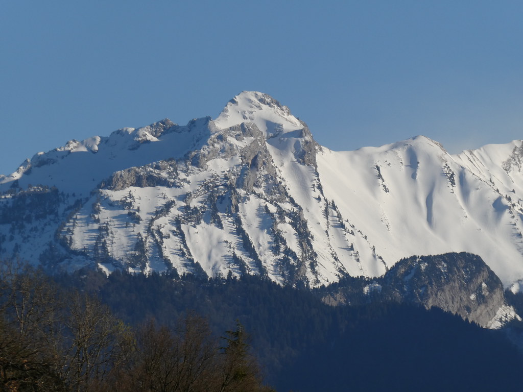
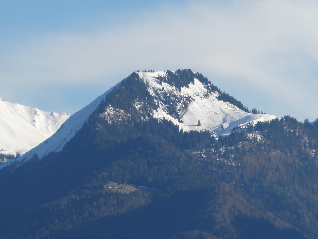
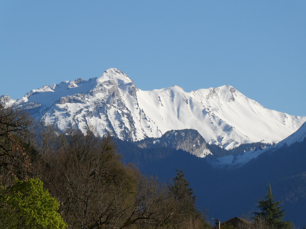
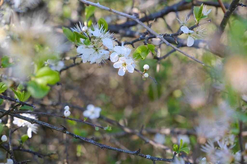
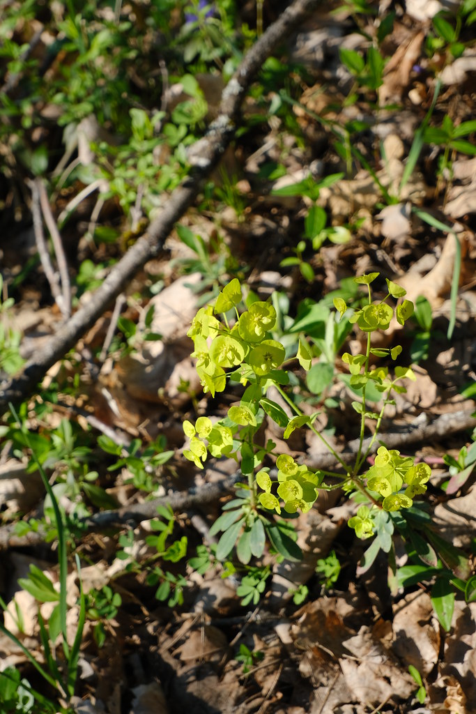
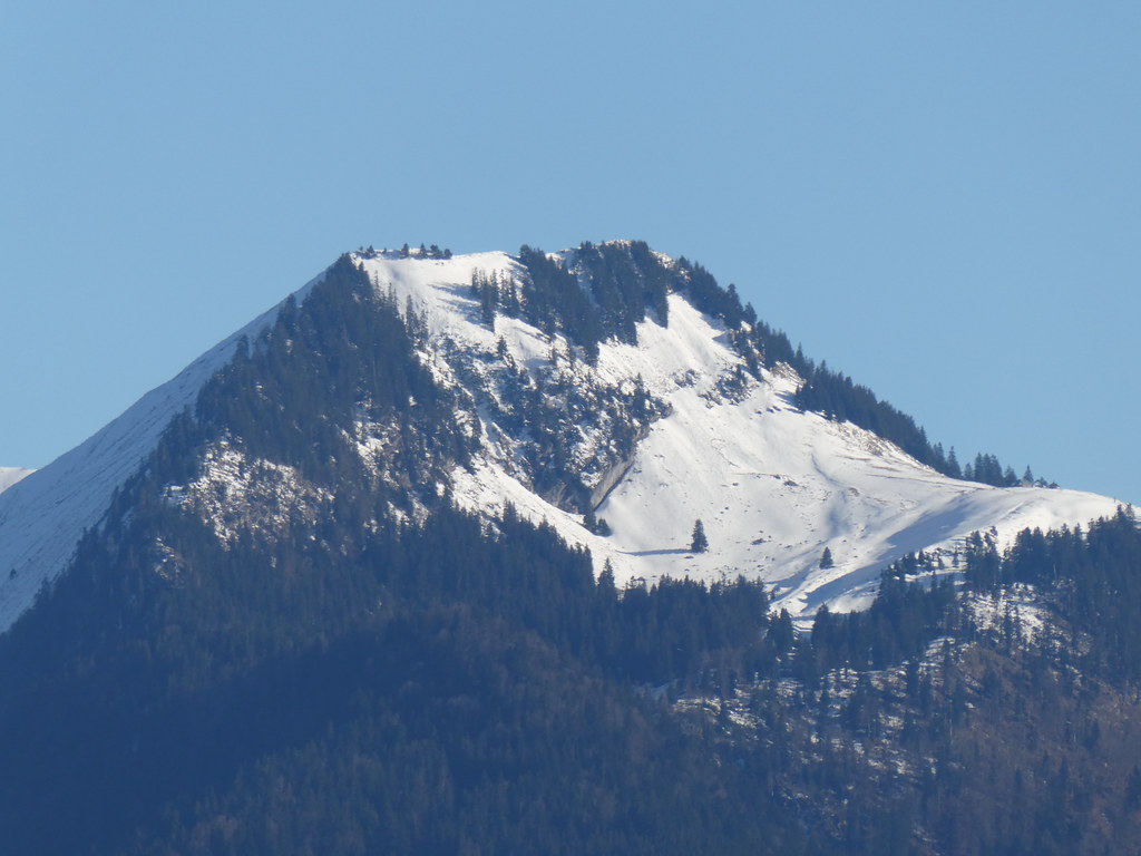
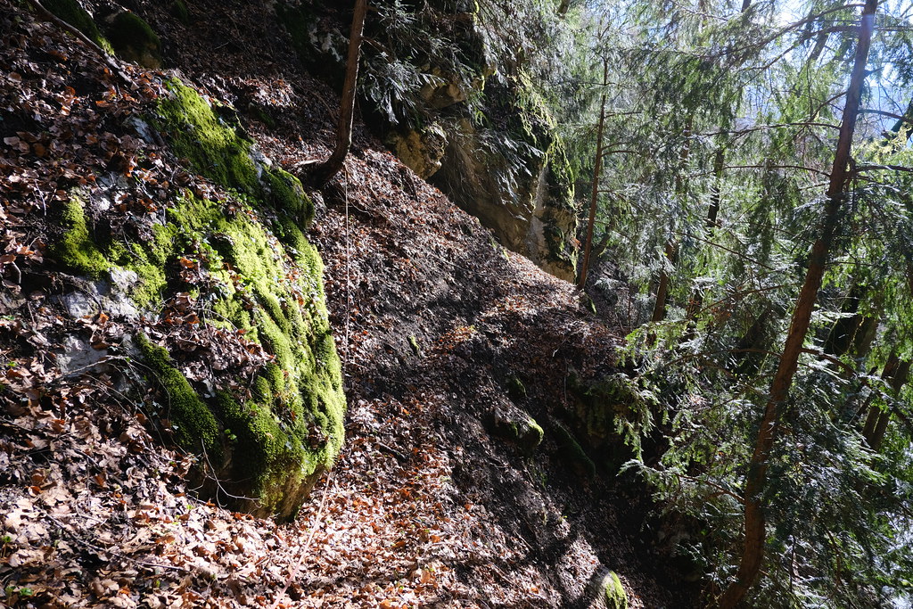
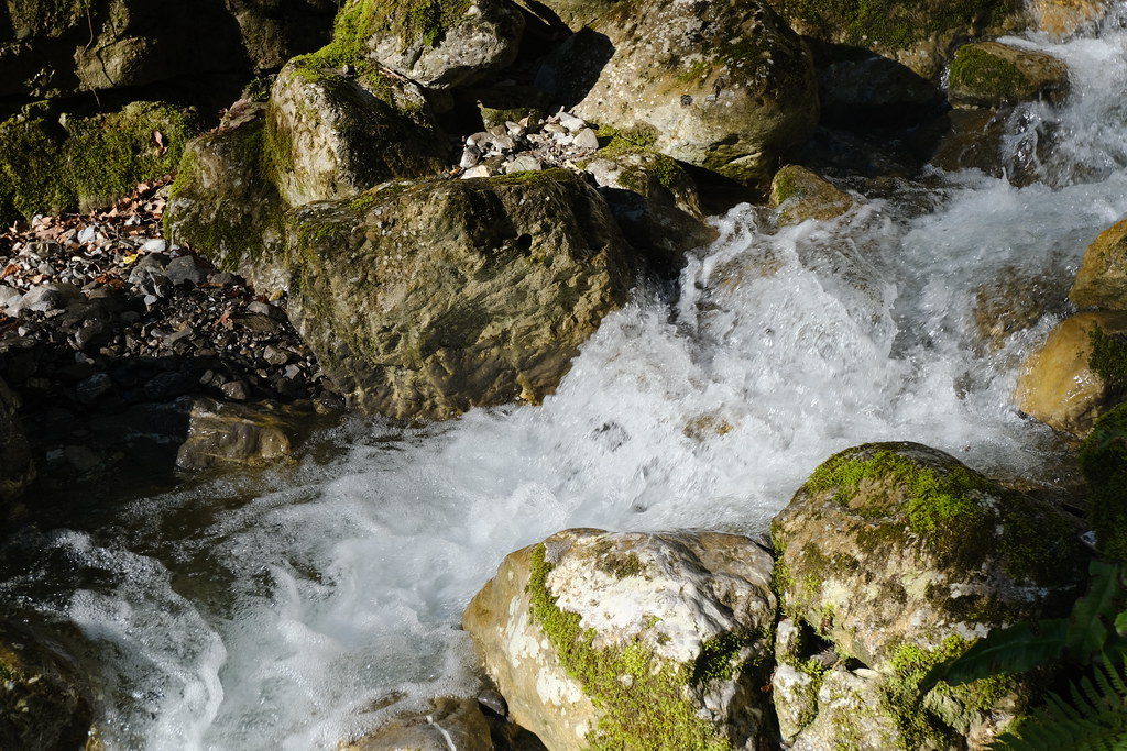
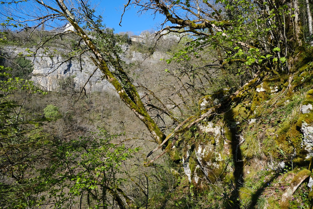
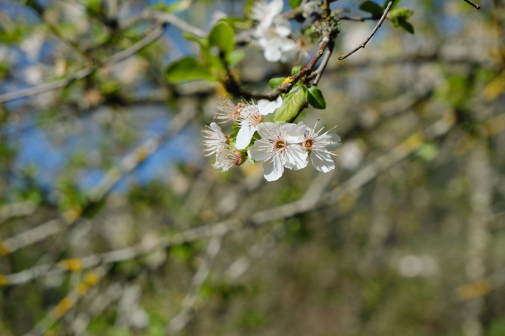
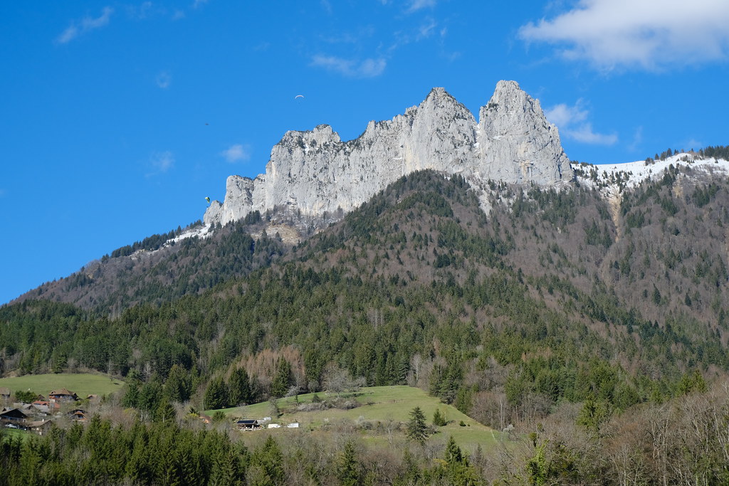
Photos Serraval
|
See all photos of Serraval :
Other photos of Serraval and nearby towns can be found here: photos Serraval
|
|
Serraval weather forecast
Find next hours and 7 days weather forecast for Serraval here : weather Serraval (with english metrics)
This is the last weather forecast for Serraval collected by the nearest observation station of Thônes.
Week Forecast:
The latest weather data for Serraval were collected Friday, 19 April 2024 at 03:00 from the nearest observation station of Thônes.
| Friday, April 19th |
10°C -2°C
48%
82%
|
Rain
Temperature Max: 10°C Temperature Min: -2°C
Precipitation Probability: 48% (Rain)
Percentage of sky occluded by clouds: 82%
Wind speed: 4 km/h East
Humidity: 59%° UV Index: 3
Sunrise: 06:41 Sunset: 20:27 |
|
| | Saturday, April 20th |
8°C 2°C
70%
70%
|
Rain
Temperature Max: 8°C Temperature Min: 2°C
Precipitation Probability: 70% (Rain)
Percentage of sky occluded by clouds: 70%
Wind speed: 8 km/h South
Humidity: 65%° UV Index: 3
Sunrise: 06:39 Sunset: 20:28 |
|
| | Sunday, April 21st |
8°C 0°C
0%
74%
|
Mostly cloudy
Temperature Max: 8°C Temperature Min: 0°C
Precipitation Probability: 0%
Percentage of sky occluded by clouds: 74%
Wind speed: 7 km/h South
Humidity: 67%° UV Index: 3
Sunrise: 06:37 Sunset: 20:30 |
|
| | Monday, April 22nd |
8°C -1°C
35%
73%
|
Drizzle
Temperature Max: 8°C Temperature Min: -1°C
Precipitation Probability: 35% (Rain)
Percentage of sky occluded by clouds: 73%
Wind speed: 5 km/h South-East
Humidity: 65%° UV Index: 3
Sunrise: 06:36 Sunset: 20:31 |
|
|
Attribution: 
|
|
Other maps, hotels and towns in france
Find another town, zip code, department, region, ...
Quick links Serraval :
Make a link to this page of Serraval with the following code :
|
|
|
 French Version : http://www.cartesfrance.fr/carte-france-ville/74265_Serraval.html