|
The city of Soudan is a small town located north west of France. The city of Soudan is located in the department of Loire-Atlantique of the french region Pays de la Loire. The city of Soudan is located in the township of Châteaubriant part of the district of Châteaubriant. The area code for Soudan is 44199 (also known as code INSEE), and the Soudan zip code is 44110.
Geography and map of Soudan :
The altitude of the city hall of Soudan is approximately 80 meters. The Soudan surface is 53.82 km ². The latitude and longitude of Soudan are 47.738 degrees North and 1.306 degrees West.
Nearby cities and towns of Soudan are :
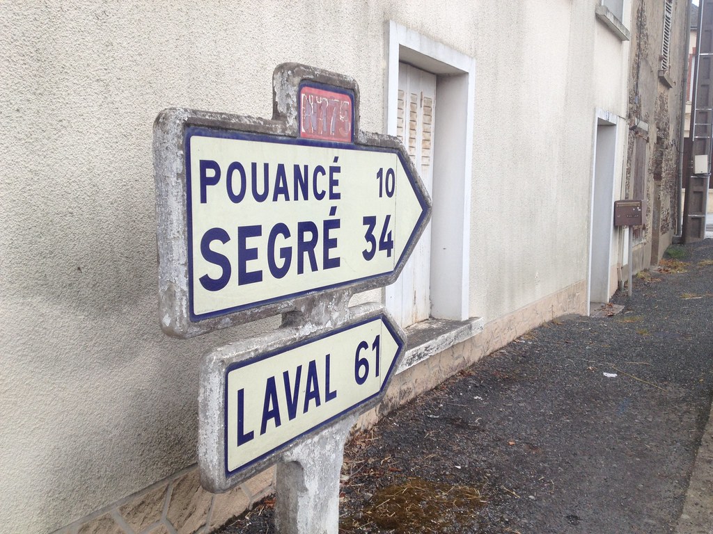
Villepot (44110) at 4.77 km, Noyal-sur-Brutz (44110) at 5.14 km, Châteaubriant (44110) at 5.59 km, Carbay (49420) at 6.54 km, Erbray (44110) at 9.14 km, La Prévière (49420) at 9.79 km, Pouancé (49420) at 10.11 km, Senonnes (53390) at 10.28 km.
(The distances to these nearby towns of Soudan are calculated as the crow flies)
Population and housing of Soudan :
The population of Soudan was 2 007 in 1999, 2 015 in 2006 and 2 046 in 2007. The population density of Soudan is 38.02 inhabitants per km². The number of housing of Soudan was 938 in 2007. These homes of Soudan consist of 828 main residences, 27 second or occasional homes and 83 vacant homes. |
|
|
Hotel Soudan
|
|
|
Book now ! Best Price Guaranteed, no booking fees, pay at the hotel with our partner Booking.com, leader in online hotel reservation.
Find all hotels of Soudan : Hotel Soudan
| |
|
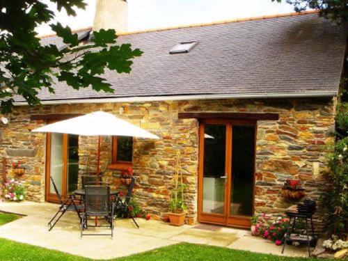
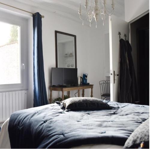
Bed and Breakfast : Chambres d'Hotes - La Marmoire
Located in Soudan, Chambres d'Hotes - La Marmoire offers free WiFi, and guests can enjoy free bikes and barbecue facilities. There is a private bathroom with shower and free to...
Address : Lieu dit La Marmoire 44110 Soudan
Distance Bed and Breakfast - Soudan : 2.13 km
|
|
|
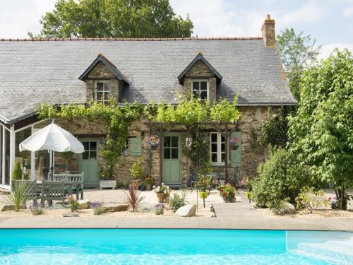
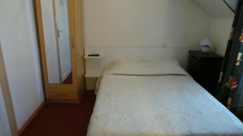
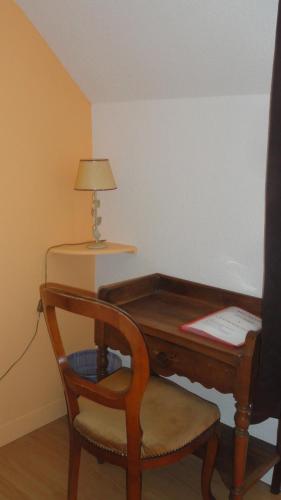
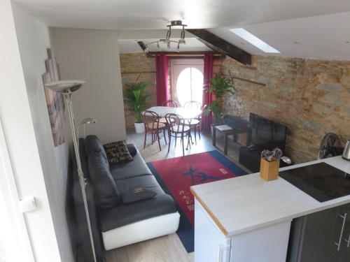
Guest accommodation : French Gites At Le Tertre

French Gites At Le Tertre is situated in Soudan, 10 km from Chateaubriant. It features an outdoor pool, a terrace and a garden. Featuring free WiFi is provided throughout the pr...
Contact : Le Tertre 44110 Soudan
Distance Guest accommodation - Soudan : 3.68 km
|
|
|
Hotel : Le Paris Océan
Located in Châteaubriant, Le Paris Océan offers a terrace. Featuring a restaurant, the property also has a bar. Free WiFi is available. At the hotel, every room comes with a de...
Contact : 25 Rue d'Ancenis 44110 Châteaubriant
Distance Hotel - Soudan : 5.38 km
|
|
|
Hotel : Le Quai 3
Le Quai 3 in Châteaubriant features a terrace and a bar. This 2-star hotel offers free WiFi. Staff on site can arrange a shuttle service. At the hotel, every room is fitted wit...
Rate : from 54.40 €
to 98.90 €
Contact : 3 rue de la Gare 44110 Châteaubriant
Distance Hotel - Soudan : 5.43 km
|
|
|
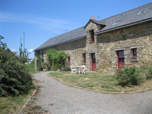
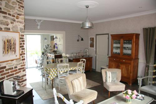
Guest accommodation : les Bassins de Launay
Located in Châteaubriant, les Bassins de Launay provides free bikes, BBQ facilities and garden. Guests can enjoy garden views. At the guest house, every room has a terrace. Eac...
Address : Launay Prieur Châteaubriant 44110 Châteaubriant
Distance Guest accommodation - Soudan : 5.50 km
|
|
|
Bed and Breakfast : Chez Les Gars
Offering free WiFi and pool views, Chez Les Gars is an accommodation situated in Châteaubriant. This bed and breakfast features a private pool and a garden. The bed and breakfa...
Prices : from 100.00 €
Contact : 38 RUE DU CHATEAU 44110 Châteaubriant
Distance Bed and Breakfast - Soudan : 5.54 km
|
|
|
Apartment : Appartement de Charme - Centre Ville
Situated in Châteaubriant, this apartment is 49 km from Rennes and 47 km from Vitré. Free WiFi is available throughout the property. Nantes can be reached in 1 hour with the tra...
Contact : Etage 2 33, Grande rue 44110 Châteaubriant
Distance Apartment - Soudan : 5.64 km
|
|
|
Bed and Breakfast : Logis Gutenberg
Located in Chateaubriant, 500 metres from the shops and restaurants, this hotel features a garden and a library. Free Wi-Fi is provided in the entire property. All the guest ro...
Price : from 80.00 €
to 150.00 €
Contact : 10, Rue Gutenberg 44110 Châteaubriant
Distance Bed and Breakfast - Soudan : 5.66 km
|
|
|
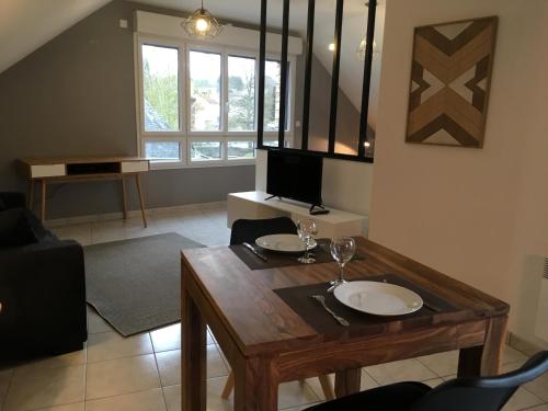
Guest accommodation : Appart'Hôtel - Chateaubriant
Featuring free WiFi, Appart'Hôtel - Chateaubriant offers accommodation in Châteaubriant. Rennes is 49 km from the property. The accommodation is fitted with a flat-screen TV. A...
Prices : from 69.00 €
to 109.00 €
Address : 5 et 7 rue de la Vannerie 44110 Châteaubriant
Distance Guest accommodation - Soudan : 5.69 km
|
|

|
Hotel : Auberge bretonne
Offering a restaurant, Auberge bretonne is located in Châteaubriant. It features free WiFi access, free parking and meeting facilities. Opening onto the city, each room here wi...
Rate : from 58.00 €
to 98.00 €
Contact : 23 place de la motte 44110 Châteaubriant
Distance Hotel - Soudan : 5.88 km
|
|
Find another hotel near Soudan : Soudan hotels list
|
Map of Soudan
|
|
Map of Soudan :
At right you can find the localization of Soudan on the map of France. Below, this is the satellite map of Soudan. A road map, and maps templates of Soudan are available here : "road map of Soudan". This map show Soudan seen by the satellite of Google Map. To see the streets of Soudan or move on another zone, use the buttons "zoom" and "map" on top of this dynamic map.
Search on the map of Soudan :
To search hotels, housings, tourist information office, administrations or other services, use the Google search integrated to the map on the following page : "map Soudan".
Hotels of Soudan are listed on the map with the following icons: 
The map of Soudan is centred in the following coordinates :
|

|
|
|
|
Print the map of Soudan

Print the map of Soudan : map of Soudan
|
Photos Soudan
|
See all photos of Soudan :
Other photos of Soudan and nearby towns can be found here: photos Soudan
|
|
Soudan weather forecast
Find next hours and 7 days weather forecast for Soudan here : weather Soudan (with english metrics)
This is the last weather forecast for Soudan collected by the nearest observation station of Châteaubriant.
Week Forecast:
The latest weather data for Soudan were collected Thursday, 25 April 2024 at 13:00 from the nearest observation station of Châteaubriant.
| Thursday, April 25th |
14°C 5°C
24%
78%
|
Mostly cloudy
Temperature Max: 14°C Temperature Min: 5°C
Precipitation Probability: 24% (Rain)
Percentage of sky occluded by clouds: 78%
Wind speed: 7 km/h East
Humidity: 71%° UV Index: 3
Sunrise: 06:57 Sunset: 21:10 |
|
| | Friday, April 26th |
15°C 6°C
57%
89%
|
Rain
Temperature Max: 15°C Temperature Min: 6°C
Precipitation Probability: 57% (Rain)
Percentage of sky occluded by clouds: 89%
Wind speed: 13 km/h North-East
Humidity: 77%° UV Index: 3
Sunrise: 06:55 Sunset: 21:11 |
|
| | Saturday, April 27th |
13°C 5°C
73%
93%
|
Rain
Temperature Max: 13°C Temperature Min: 5°C
Precipitation Probability: 73% (Rain)
Percentage of sky occluded by clouds: 93%
Wind speed: 15 km/h West
Humidity: 85%° UV Index: 3
Sunrise: 06:54 Sunset: 21:13 |
|
| | Sunday, April 28th |
15°C 6°C
50%
54%
|
Rain
Temperature Max: 15°C Temperature Min: 6°C
Precipitation Probability: 50% (Rain)
Percentage of sky occluded by clouds: 54%
Wind speed: 16 km/h North-East
Humidity: 73%° UV Index: 4
Sunrise: 06:52 Sunset: 21:14 |
|
|
Attribution: 
|
|
Other maps, hotels and towns in france
Find another town, zip code, department, region, ...
Quick links Soudan :
Make a link to this page of Soudan with the following code :
|
|
|
 French Version : http://www.cartesfrance.fr/carte-france-ville/44199_Soudan.html