|
The village of Sougy is a small village located center of France. The town of Sougy is located in the department of Loiret of the french region Centre. The town of Sougy is located in the township of Artenay part of the district of Orléans. The area code for Sougy is 45313 (also known as code INSEE), and the Sougy zip code is 45410.
Geography and map of Sougy :
The altitude of the city hall of Sougy is approximately 129 meters. The Sougy surface is 28.25 km ². The latitude and longitude of Sougy are 48.054 degrees North and 1.789 degrees East.
Nearby cities and towns of Sougy are :
Huêtre (45520) at 4.00 km, Rouvray-Sainte-Croix (45310) at 4.21 km, Terminiers (28140) at 4.72 km, Coinces (45310) at 6.11 km, Bricy (45310) at 6.25 km, Poupry (28140) at 6.43 km, Lumeau (28140) at 6.88 km, Patay (45310) at 6.98 km.
(The distances to these nearby towns of Sougy are calculated as the crow flies)
Population and housing of Sougy :
The population of Sougy was 805 in 1999, 844 in 2006 and 850 in 2007. The population density of Sougy is 30.09 inhabitants per km². The number of housing of Sougy was 365 in 2007. These homes of Sougy consist of 333 main residences, 13 second or occasional homes and 20 vacant homes. |
|
|
Hotel Sougy
|
|
|
Book now ! Best Price Guaranteed, no booking fees, pay at the hotel with our partner Booking.com, leader in online hotel reservation.
Find all hotels of Sougy : Hotel Sougy
| |
|
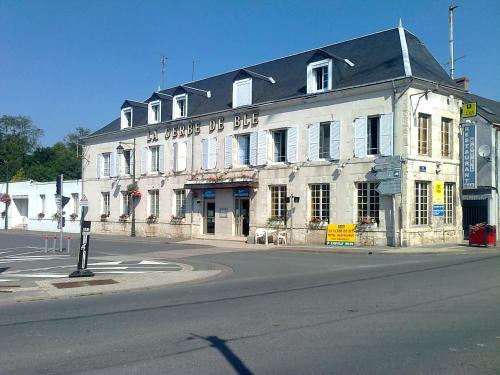
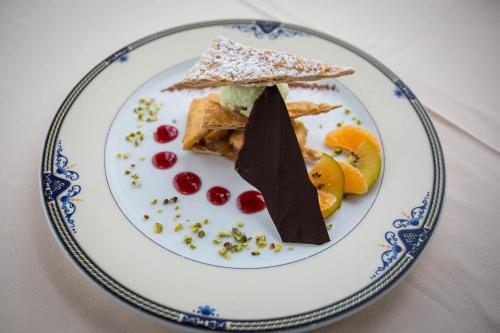
La Gerbe De Ble is located in Chevilly. With a bar, the 3-star hotel has air-conditioned rooms with free WiFi, each with a private bathroom. French cuisine is served at the rest...
Rate : from 60.00 €
to 110.00 €
Address : 2 Avenue du Chateau 45520 Chevilly
Distance Hotel - Sougy : 7.00 km
|
|
|
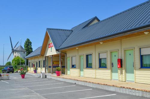
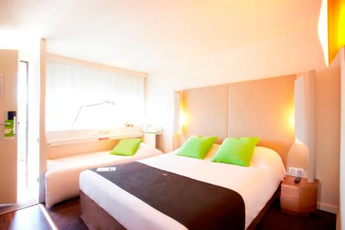
Hotel : Fasthotel Orléans Nord Artenay

This hotel set in the North of Orléans welcomes you in quiet and peaceful setting for a successful business or leisure trip. For your utmost pleasure, the Fasthotel of Artenay ...
Price : from 44.50 €
to 60.50 €
Contact : 29 Rue De Chartres 45410 Artenay
Distance Hotel - Sougy : 7.06 km
|
|
|
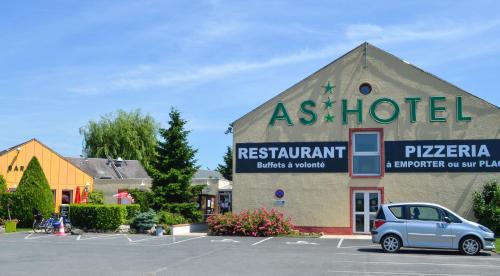
Hotel : As Hotel Orléans Nord Artenay
The hotel is ideally located north of Orleans at the crossroads of the 3 distinct regions of the Sologne and the forest of Orléans, the Loire Valley and the Beauce. L’As hotel ...
Prices : from 66.50 €
to 80.50 €
Contact : 29 Rue De Chartres 45410 Artenay
Distance Hotel - Sougy : 7.10 km
|
|
|
Hotel : Comfort Hotel Orleans Saran
Providing high-speed free WiFi access and free private parking, Kyriad Orléans Nord - Saran is located in Saran, close to the A10 motorway exit. A restaurant and 2 equipped meet...
Rate : from 39.20 €
to 89.00 €
Contact : Pole 45, porte de Sary, 232 Rue Francis Perrin 45770 Saran
Distance Hotel - Sougy : 12.63 km
|
|
|
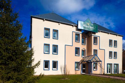
Hotel : Mister Bed Saran
The Mister Bed is located in the town of Saran, just 10 kilometres north of the city centre of Orléans. Guestrooms are equipped with toilet and sink, desk, TV and free WiFi int...
Price : from 30.00 €
to 37.00 €
Address : 234 rue Francis Perrin, Pole 45 45770 Saran
Distance Hotel - Sougy : 12.64 km
|
|
|
Hotel : Le Relais Saint-Jacques

Le Relais Saint-Jacques is set in Tournoisis, 24 km from Orléans and 50 km from Chartres. Guests can enjoy the on-site restaurant. The area is popular for cycling and hiking. V...
Prices : from 65.00 €
to 107.00 €
Contact : 35 rue de la mairie 45310 Tournoisis
Distance Hotel - Sougy : 12.79 km
|
|

|
Hotel : ibis Orléans Nord Saran
Located in Saran, a 10-minute drive from the centre of Orléans, ibis Orléans Nord Saran offers a 24-hour front desk and air-conditioned rooms. Free Wi-Fi access is provided and ...
Rate : from 58.00 €
to 159.00 €
Contact : Chemin des Sablons 45770 Saran
Distance Hotel - Sougy : 12.98 km
|
|

|
Hotel : Premiere Classe Orleans Nord - Saran
Located in Saran, 2.1 km from the A10 motorway, this hotel offers free private parking on site. The centre of Orléans is a 10-minute drive away. Guest rooms are simply furnishe...
Price : from 35.64 €
to 39.60 €
Contact : 712 rue de la Pelleterie - Lieu-dit La Chiperie 45770 Saran
Distance Hotel - Sougy : 13.11 km
|
|
|
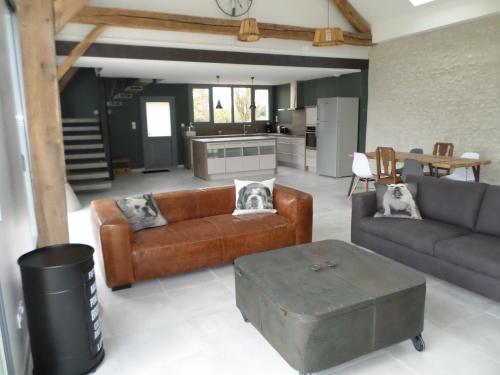
Guest accommodation : Ici & Laps
Featuring an outdoor pool and garden views, Ici & Laps is set in Gémigny. Guests staying at this holiday home have access to a fully equipped kitchen and a terrace. The holiday...
Address : Les Laps 45310 Gémigny
Distance Guest accommodation - Sougy : 13.29 km
|
|
|
Hotel : Campanile Orléans Nord - Saran
Close to the city of Saran, rich in architectural, natural and cultural beauty, this modern Campanile hotel offers comfortable accommodation at great rates in a convenient locat...
Rate : from 41.65 €
to 77.00 €
Contact : 744, D 2020 45770 Saran
Distance Hotel - Sougy : 14.39 km
|
|
Find another hotel near Sougy : Sougy hotels list
|
Map of Sougy
|
|
Map of Sougy :
At right you can find the localization of Sougy on the map of France. Below, this is the satellite map of Sougy. A road map, and maps templates of Sougy are available here : "road map of Sougy". This map show Sougy seen by the satellite of Google Map. To see the streets of Sougy or move on another zone, use the buttons "zoom" and "map" on top of this dynamic map.
Search on the map of Sougy :
To search hotels, housings, tourist information office, administrations or other services, use the Google search integrated to the map on the following page : "map Sougy".
Hotels of Sougy are listed on the map with the following icons: 
The map of Sougy is centred in the following coordinates :
|

|
|
|
|
Print the map of Sougy

Print the map of Sougy : map of Sougy
|
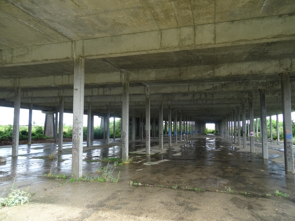
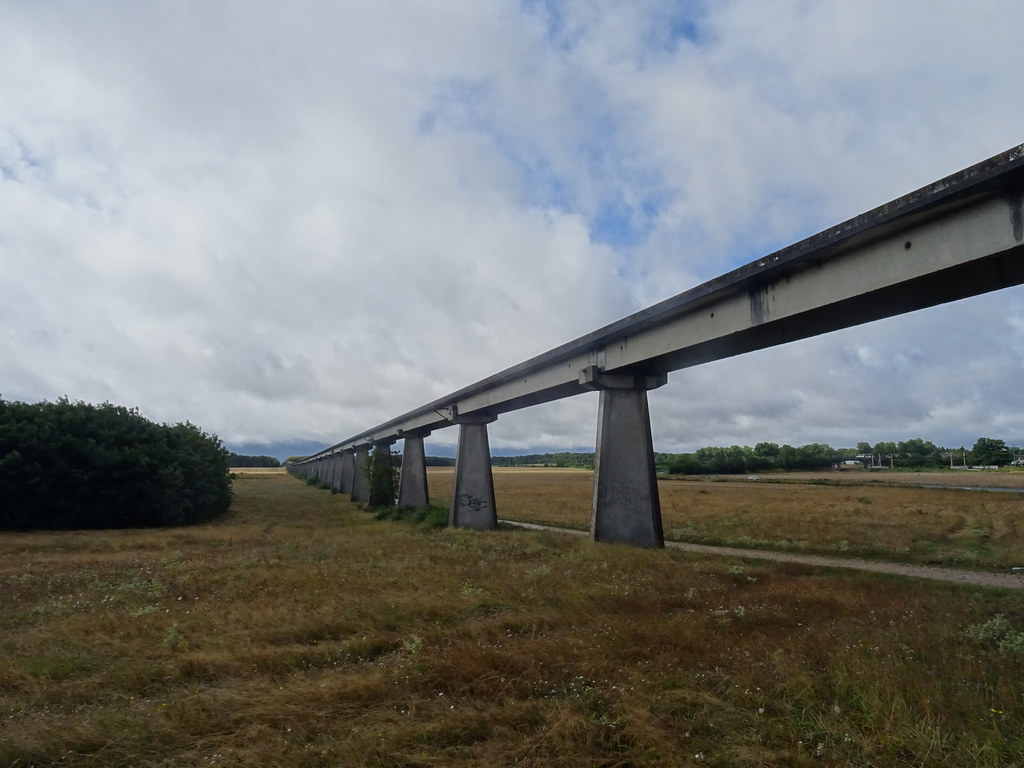
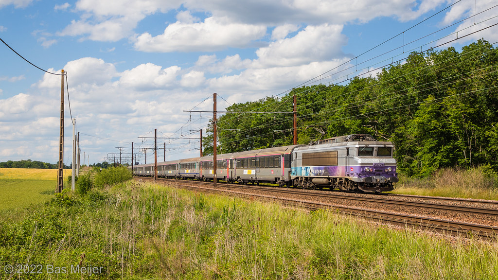
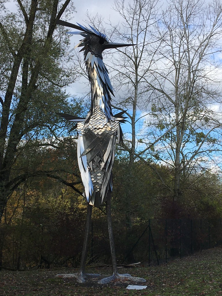
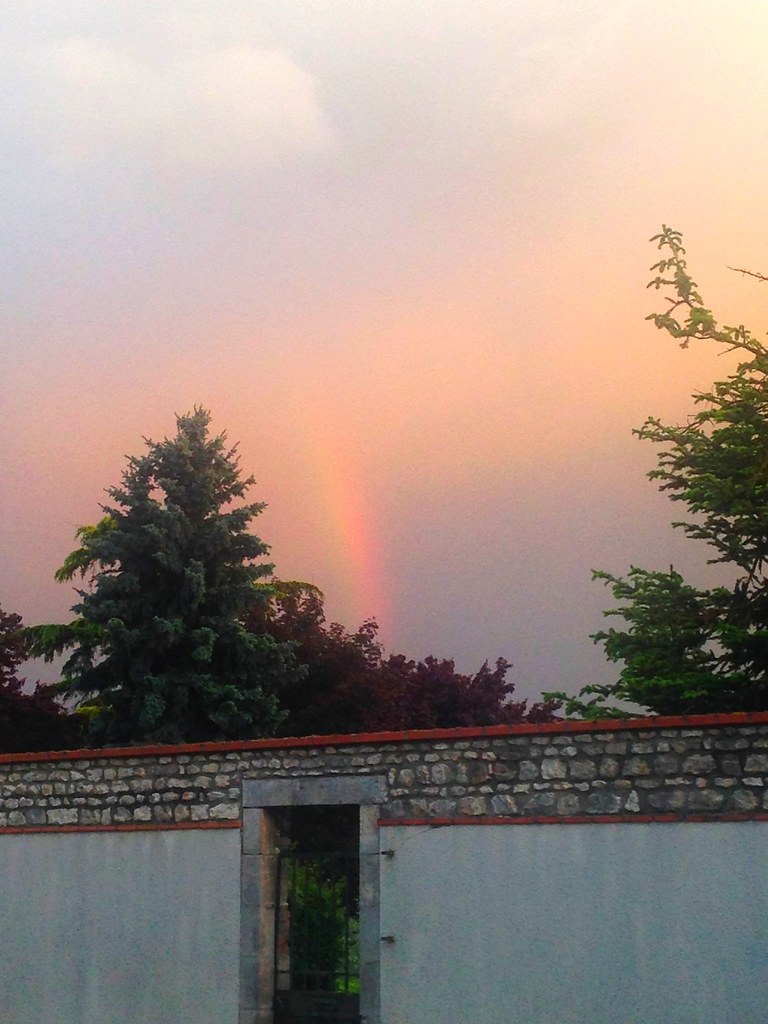
Photos Sougy
|
See all photos of Sougy :
Other photos of Sougy and nearby towns can be found here: photos Sougy
|
|
Sougy weather forecast
Find next hours and 7 days weather forecast for Sougy here : weather Sougy (with english metrics)
This is the last weather forecast for Sougy collected by the nearest observation station of Artenay.
Week Forecast:
The latest weather data for Sougy were collected Friday, 19 April 2024 at 17:00 from the nearest observation station of Artenay.
| Friday, April 19th |
14°C 5°C
39%
76%
|
Drizzle
Temperature Max: 14°C Temperature Min: 5°C
Precipitation Probability: 39% (Rain)
Percentage of sky occluded by clouds: 76%
Wind speed: 21 km/h East
Humidity: 68%° UV Index: 3
Sunrise: 06:54 Sunset: 20:49 |
|
| | Saturday, April 20th |
11°C 3°C
0%
72%
|
Partly cloudy
Temperature Max: 11°C Temperature Min: 3°C
Precipitation Probability: 0%
Percentage of sky occluded by clouds: 72%
Wind speed: 17 km/h South
Humidity: 61%° UV Index: 3
Sunrise: 06:52 Sunset: 20:50 |
|
| | Sunday, April 21st |
12°C 2°C
0%
66%
|
Partly cloudy
Temperature Max: 12°C Temperature Min: 2°C
Precipitation Probability: 0%
Percentage of sky occluded by clouds: 66%
Wind speed: 20 km/h South
Humidity: 61%° UV Index: 3
Sunrise: 06:51 Sunset: 20:52 |
|
| | Monday, April 22nd |
12°C 2°C
0%
53%
|
Partly cloudy
Temperature Max: 12°C Temperature Min: 2°C
Precipitation Probability: 0%
Percentage of sky occluded by clouds: 53%
Wind speed: 18 km/h South
Humidity: 60%° UV Index: 3
Sunrise: 06:49 Sunset: 20:53 |
|
|
Attribution: 
|
|
Other maps, hotels and towns in france
Find another town, zip code, department, region, ...
Quick links Sougy :
Make a link to this page of Sougy with the following code :
|
|
|
 French Version : http://www.cartesfrance.fr/carte-france-ville/45313_Sougy.html