|
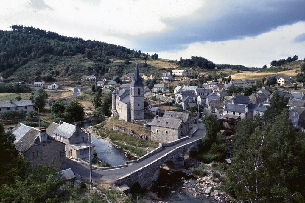
The village of Termes is a small village located south of France. The town of Termes is located in the department of Lozère of the french region Languedoc-Roussillon. The town of Termes is located in the township of Fournels part of the district of Mende. The area code for Termes is 48190 (also known as code INSEE), and the Termes zip code is 48310.
Geography and map of Termes :
The altitude of the city hall of Termes is approximately 1 140 meters. The Termes surface is 17.65 km ². The latitude and longitude of Termes are 44.813 degrees North and 3.166 degrees East.
Nearby cities and towns of Termes are :
La Fage-Saint-Julien (48200) at 2.21 km, Fournels (48310) at 3.79 km, Noalhac (48310) at 4.73 km, Saint-Laurent-de-Veyrès (48310) at 5.24 km, Les Monts-Verts (48200) at 5.92 km, La Fage-Montivernoux (48310) at 6.29 km, Saint-Juéry (48310) at 6.40 km, Chauchailles (48310) at 6.95 km.
(The distances to these nearby towns of Termes are calculated as the crow flies)
Population and housing of Termes :
The population of Termes was 202 in 1999, 208 in 2006 and 210 in 2007. The population density of Termes is 11.90 inhabitants per km². The number of housing of Termes was 161 in 2007. These homes of Termes consist of 88 main residences, 56 second or occasional homes and 17 vacant homes. |
|
|
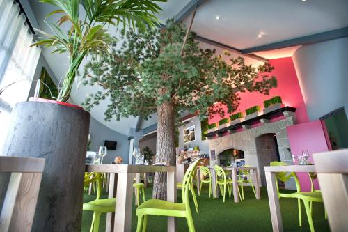
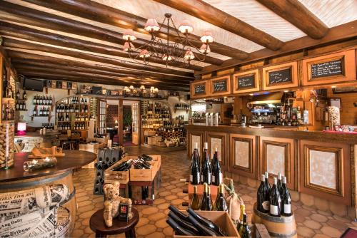
Hotel Termes
|
|
|
Book now ! Best Price Guaranteed, no booking fees, pay at the hotel with our partner Booking.com, leader in online hotel reservation.
Find all hotels of Termes : Hotel Termes
| |
|
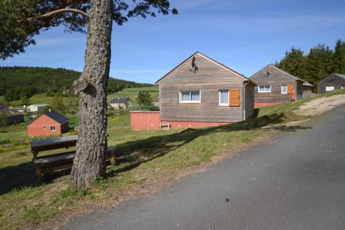
Guest accommodation : Les Chalets de la Vallee du Bes
Les Chalets de la Vallee du Bes is situated in Noalhac. Guests staying at this holiday home have access to a fully equipped kitchen. The holiday home is fitted with a TV. Sain...
Address : Les Chalets de la Vallee du Bes 48310 Noalhac
Distance Guest accommodation - Termes : 4.66 km
|
|
|
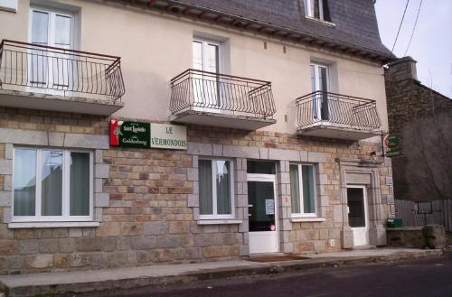
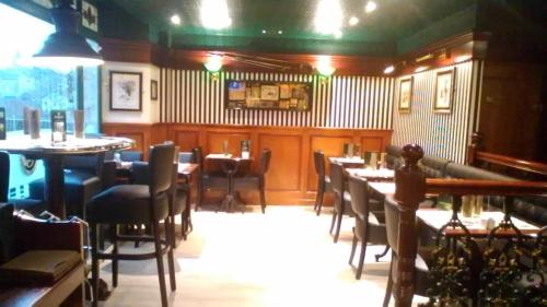
Hotel : Le Vermondois
Located in Les Monts Verts, Le Vermondois is located just 8 km from Saint-Chély-d'Apcher Train Station and 20 km from Garabit Viaduct. Free Wi-Fi and free parking are provided. ...
Price : from 48.00 €
Contact : Lieu Dit Le Bacon 48200 Le Bacon
Distance Hotel - Termes : 5.79 km
|
|
|
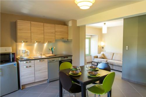
Guest accommodation : Résidence Les Rives Du Bès
Résidence Les Rives Du Bès is situated in Saint-Juéry. Some units also have a kitchenette equipped with a microwave. Saint-Flour is 37 km from the holiday home. Rodez - Aveyro...
Contact : Les Rives Du Bès 48310 Saint-Juéry
Distance Guest accommodation - Termes : 6.45 km
|
|
|
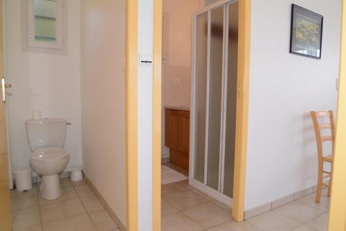
Guest accommodation : Les Chalets de la Vallée du Bés
Located in Saint-Juéry in the Auvergne region, Les Chalets de la Vallée du Bés has a terrace. The accommodation is 37 km from Saint-Flour. The holiday home is equipped with 2 b...
Contact : Village 48310 Saint-Juéry
Distance Guest accommodation - Termes : 6.79 km
|
|
|
Hotel : Les Portes d'Apcher

Set just off the A75 motorway, this 3-star hotel is ideally located halfway between Clermont-Ferrand and Montpellier. Its restaurant is designed as an indoor garden and serves o...
Price : from 75.00 €
to 95.00 €
Address : Route de Saint Flour 48200 Saint-Chély-dʼApcher
Distance Hotel - Termes : 8.30 km
|
|
|
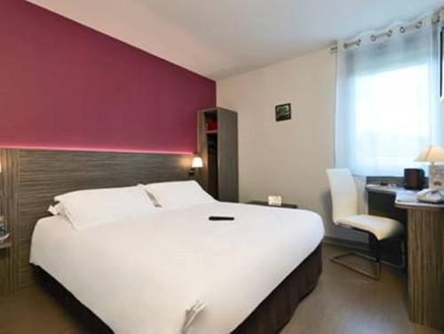
Hotel : Hotel Bel Horizon
Hotel Bel Horizon is located in Saint-Chély-d’Apcher. The property features a bar and a breakfast room. Guests can also enjoy their breakfast in the room upon request. Free WiFi...
Prices : from 75.00 €
Contact : 53 Boulevard Guerin d'Apcher 48200 Saint-Chély-dʼApcher
Distance Hotel - Termes : 8.49 km
|
|
|
Hotel : Hôtel Jeanne D'Arc
Hôtel Jeanne D'Arc in Saint-Chély-dʼApcher provides accommodation with a terrace and a shared lounge. Providing a restaurant, the property also has a bar. Free WiFi is offered. ...
Rate : from 62.00 €
to 92.00 €
Contact : 49 Avenue De La Gare 48200 Saint-Chély-dʼApcher
Distance Hotel - Termes : 8.50 km
|
|
|
Hotel : Kyriad Saint Chély d'Apcher - Aire de la Lozère
Kyriad La Garde Hotel is located in Albaret-Sainte-Marie, 10 km north of Saint-Chély-d’Apcher. The hotel has 58 sound-proofed guest rooms, each with a private bathroom, free Wi-...
Price : from 55.25 €
to 115.00 €
Contact : Aire de la Garde – Autoroute A75 48200 Albaret-Sainte-Marie
Distance Hotel - Termes : 9.27 km
|
|

|
Hotel : Le Château D'orfeuillette
This unique design 4-star hotel offers luxury accommodation and interiors inspired by modern art. Surrounded by a large park in the heart of Gevaudan, it features a heated outdo...
Address : La Garde 48200 La Garde
Distance Hotel - Termes : 9.38 km
|
|
|
Hotel : Hotel Le Rocher Blanc
Just 1 km from the A75 motorway, in a haven of greenery, flowers and water, the hotel "Le Rocher Blanc" has everything to offer : carefully- prepared gastronomic and regional cu...
Rate : from 85.00 €
Contact : Route du Gévaudan 48200 Albaret-Sainte-Marie
Distance Hotel - Termes : 9.91 km
|
|
Find another hotel near Termes : Termes hotels list
|
Map of Termes
|
|
Map of Termes :
At right you can find the localization of Termes on the map of France. Below, this is the satellite map of Termes. A road map, and maps templates of Termes are available here : "road map of Termes". This map show Termes seen by the satellite of Google Map. To see the streets of Termes or move on another zone, use the buttons "zoom" and "map" on top of this dynamic map.
Search on the map of Termes :
To search hotels, housings, tourist information office, administrations or other services, use the Google search integrated to the map on the following page : "map Termes".
Hotels of Termes are listed on the map with the following icons: 
The map of Termes is centred in the following coordinates :
|

|
|
|
|
Print the map of Termes

Print the map of Termes : map of Termes
|
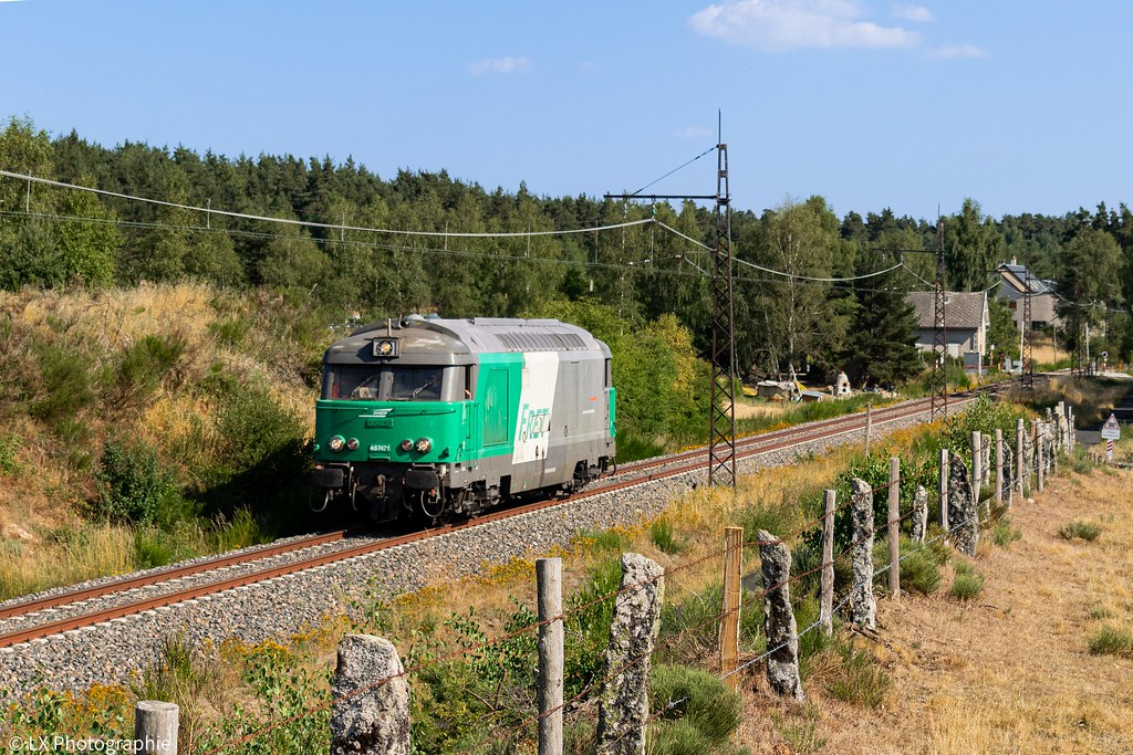
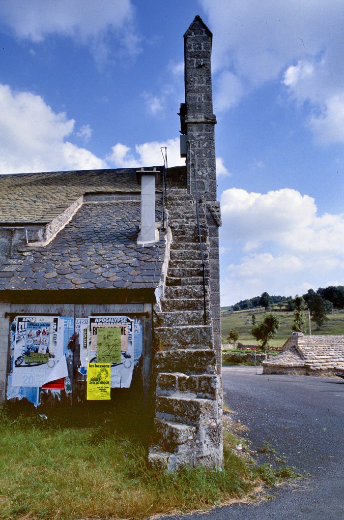
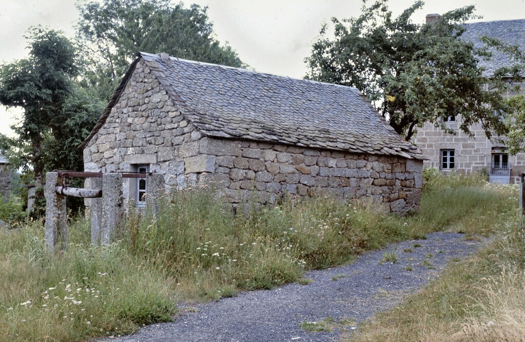
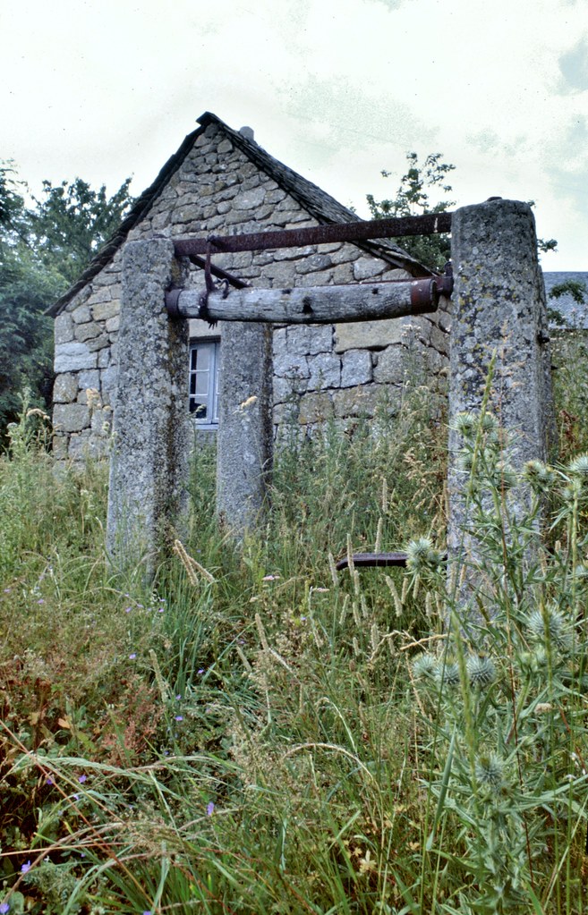
Photos Termes
|
See all photos of Termes :
Other photos of Termes and nearby towns can be found here: photos Termes
|
|
Termes weather forecast
Find next hours and 7 days weather forecast for Termes here : weather Termes (with english metrics)
This is the last weather forecast for Termes collected by the nearest observation station of Fournels.
Week Forecast:
The latest weather data for Termes were collected Thursday, 25 April 2024 at 13:00 from the nearest observation station of Fournels.
| Thursday, April 25th |
7°C -1°C
40%
91%
|
Cloudy
Temperature Max: 7°C Temperature Min: -1°C
Precipitation Probability: 40% (Rain)
Percentage of sky occluded by clouds: 91%
Wind speed: 11 km/h East
Humidity: 81%° UV Index: 3
Sunrise: 06:46 Sunset: 20:45 |
|
| | Friday, April 26th |
10°C 2°C
64%
86%
|
Drizzle
Temperature Max: 10°C Temperature Min: 2°C
Precipitation Probability: 64% (Rain)
Percentage of sky occluded by clouds: 86%
Wind speed: 14 km/h North-East
Humidity: 77%° UV Index: 4
Sunrise: 06:44 Sunset: 20:47 |
|
| | Saturday, April 27th |
10°C 5°C
52%
86%
|
Rain
Temperature Max: 10°C Temperature Min: 5°C
Precipitation Probability: 52% (Rain)
Percentage of sky occluded by clouds: 86%
Wind speed: 35 km/h North-West
Humidity: 78%° UV Index: 3
Sunrise: 06:42 Sunset: 20:48 |
|
| | Sunday, April 28th |
11°C 4°C
71%
91%
|
Rain
Temperature Max: 11°C Temperature Min: 4°C
Precipitation Probability: 71% (Rain)
Percentage of sky occluded by clouds: 91%
Wind speed: 8 km/h North
Humidity: 78%° UV Index: 3
Sunrise: 06:41 Sunset: 20:49 |
|
|
Attribution: 
|
|
Other maps, hotels and towns in france
Find another town, zip code, department, region, ...
Quick links Termes :
Make a link to this page of Termes with the following code :
|
|
|
 French Version : http://www.cartesfrance.fr/carte-france-ville/48190_Termes.html