|
The village of Thenay is a small village located center of France. The town of Thenay is located in the department of Loir-et-Cher of the french region Centre. The town of Thenay is located in the township of Montrichard part of the district of Blois. The area code for Thenay is 41257 (also known as code INSEE), and the Thenay zip code is 41400.
Geography and map of Thenay :
The altitude of the city hall of Thenay is approximately 95 meters. The Thenay surface is 20.03 km ². The latitude and longitude of Thenay are 47.388 degrees North and 1.289 degrees East.
Nearby cities and towns of Thenay are :
Pontlevoy (41400) at 2.56 km, Choussy (41700) at 4.69 km, Monthou-sur-Cher (41400) at 4.77 km, Sambin (41120) at 5.61 km, Bourré (41400) at 6.49 km, Oisly (41700) at 6.77 km, Thésée (41140) at 6.98 km, Angé (41400) at 7.07 km.
(The distances to these nearby towns of Thenay are calculated as the crow flies)
Population and housing of Thenay :
The population of Thenay was 803 in 1999, 851 in 2006 and 849 in 2007. The population density of Thenay is 42.39 inhabitants per km². The number of housing of Thenay was 455 in 2007. These homes of Thenay consist of 365 main residences, 57 second or occasional homes and 32 vacant homes. |
|
|
Hotel Thenay
|
|
|
Book now ! Best Price Guaranteed, no booking fees, pay at the hotel with our partner Booking.com, leader in online hotel reservation.
Find all hotels of Thenay : Hotel Thenay
| |
|
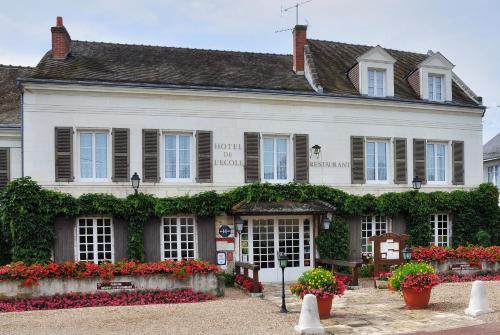
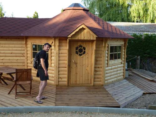
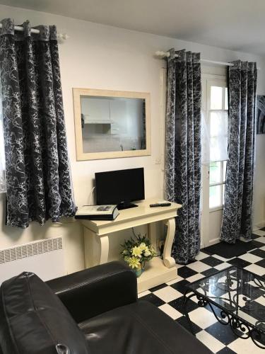
Hostel : Auberge De L'ecole

The Auberge de l’Ecole is located in the heart of the Loire Valley, well known region for its Castles. The Auberge de l’Ecole offers 10 comfortable and personalized bedrooms. A...
Rate : from 77.05 €
to 111.55 €
Address : 12 Route De Montrichard 41400 Pontlevoy
Distance Hostel - Thenay : 2.65 km
|
|
|
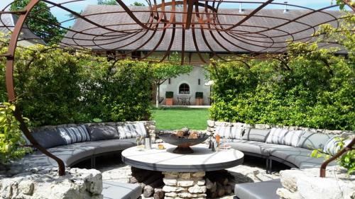
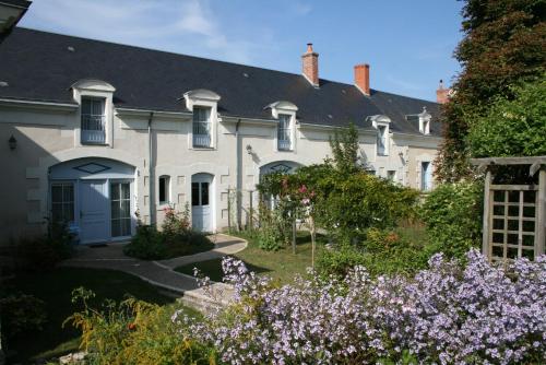
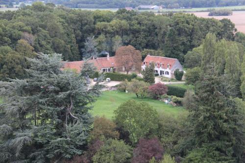
Guest accommodation : Les Loges de Saint Eloi- Gîtes
Offering a seasonal outdoor pool and sun terrace, Les Loges de Saint Eloi- Gîtes is located in Pontlevoy in the Centre Region. Tours is 42 km from the property. Free WiFi is ava...
Contact : 11 Rue des Fourneaux 41400 Pontlevoy
Distance Guest accommodation - Thenay : 2.83 km
|
|
|
Bed and Breakfast : Les Loges de Saint Eloi
Offering a seasonal outdoor pool and sun terrace, Les Loges de Saint Eloi is situated in Pontlevoy, 42 km from Tours. Guests can enjoy the on-site restaurant. Rooms are equippe...
Prices : from 102.00 €
to 119.00 €
Contact : 11 rue des Fourneaux 41400 Pontlevoy
Distance Bed and Breakfast - Thenay : 2.84 km
|
|
|
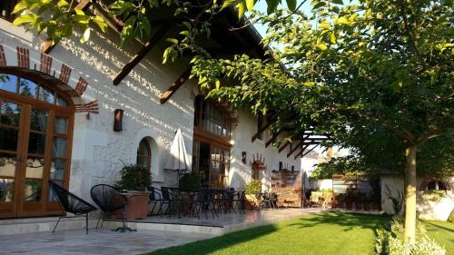
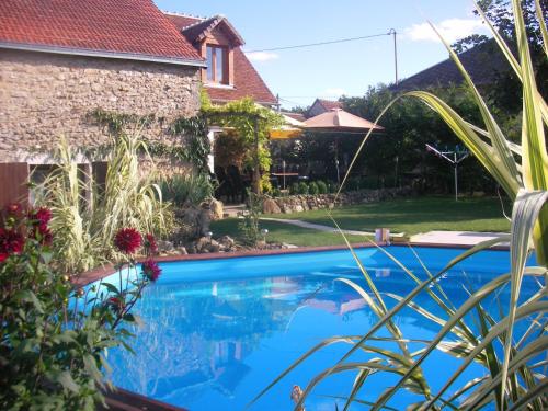
Bed and Breakfast : La Vallée du Cher
La Vallée du Cher sits in a 6000-m² landscaped park with animals. It offers 3 independent units with access to an outdoor swimming pool, furnished terrace, and free Wi-Fi access...
Rate : from 68.00 €
to 125.00 €
Contact : 15 rt de la mardelle 41400 Monthou-sur-Cher
Distance Bed and Breakfast - Thenay : 3.83 km
|
|
|
Bed and Breakfast : La Varenne
Situated in the region of the châteaux of the Loire Valley and just a 25-minute drive from Beauval Zoo, La Varenne features a garden with garden furniture and a spa area. Free W...
Price : from 75.00 €
to 115.00 €
Address : 1 Route De Blois 41400 Monthou-sur-Cher
Distance Bed and Breakfast - Thenay : 4.36 km
|
|
|
Guest accommodation : Domaine du Mont des Chênes
Located in Monthou-sur-Cher, Domaine du Mont des Chênes is 10 km from Montrichard and 11 km from the A85 motorway. This 3-bedroom cottage has a fully equipped kitchen and a terr...
Contact : 3 Chemin de la Bocagerie 41400 Monthou-sur-Cher
Distance Guest accommodation - Thenay : 4.66 km
|
|
|
Bed and Breakfast : Chambres d'Hôtes La Vallée des Vignes
Offering a heated swimming pool in the tree-lined garden, this B&B is located on the banks of the Cher River and is only 10 km from Beauval Zoo. It is set among the vineyards an...
Rate : from 67.50 €
to 120.00 €
Contact : 29 Route de Thésée 41400 Monthou-sur-Cher
Distance Bed and Breakfast - Thenay : 4.80 km
|
|
|
Bed and Breakfast : Studios Les Iris
Located in Monthou-sur-Cher, a 20-minute drive from Beauval Zoo, Studios Les Iris offers self catering accommodation and an outdoor swimming pool, heated during the high season....
Contact : 66 route du Château 41400 Monthou-sur-Cher
Distance Bed and Breakfast - Thenay : 4.84 km
|
|
|
Bed and Breakfast : B&B La Ferme des Bordes
Located 20 km from the famous Beauval Zoo, B&B La Ferme des Bordes is set in a renovated farmhouse located in the countryside of Pontlevoy. It offers a garden and free WiFi acce...
Prices : from 57.80 €
to 256.00 €
Address : 8, les Bordes 41400 Pontlevoy
Distance Bed and Breakfast - Thenay : 5.31 km
|
|
|
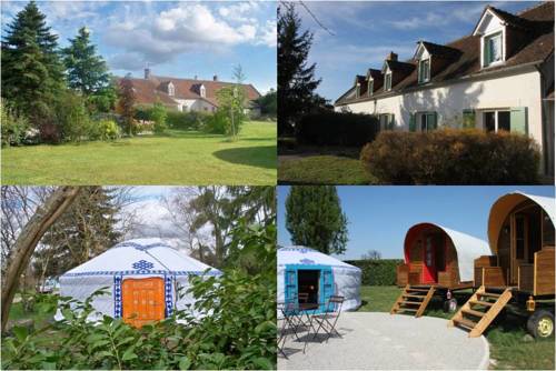
Bed and Breakfast : La Alt'
Located in Sambin, just 15 km from Montrichard, La Alt’ offers guest house accommodation as well as traditional Mongolian yurts. Blois is a 20-minute drive from the property. D...
Contact : 5 Rue De la Croix 41120 Sambin
Distance Bed and Breakfast - Thenay : 5.46 km
|
|
Find another hotel near Thenay : Thenay hotels list
|
Map of Thenay
|
|
Map of Thenay :
At right you can find the localization of Thenay on the map of France. Below, this is the satellite map of Thenay. A road map, and maps templates of Thenay are available here : "road map of Thenay". This map show Thenay seen by the satellite of Google Map. To see the streets of Thenay or move on another zone, use the buttons "zoom" and "map" on top of this dynamic map.
Search on the map of Thenay :
To search hotels, housings, tourist information office, administrations or other services, use the Google search integrated to the map on the following page : "map Thenay".
Hotels of Thenay are listed on the map with the following icons: 
The map of Thenay is centred in the following coordinates :
|

|
|
|
|
Print the map of Thenay

Print the map of Thenay : map of Thenay
|
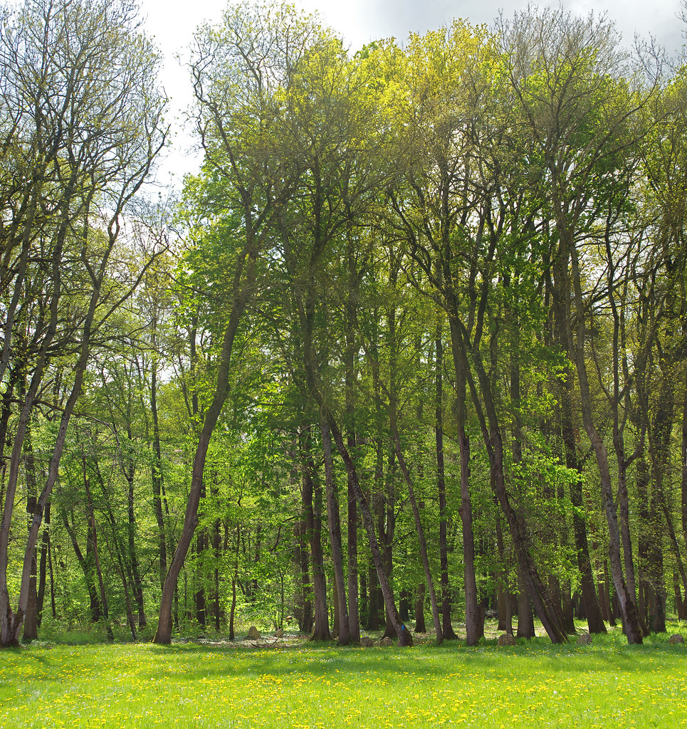
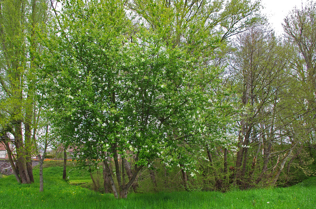
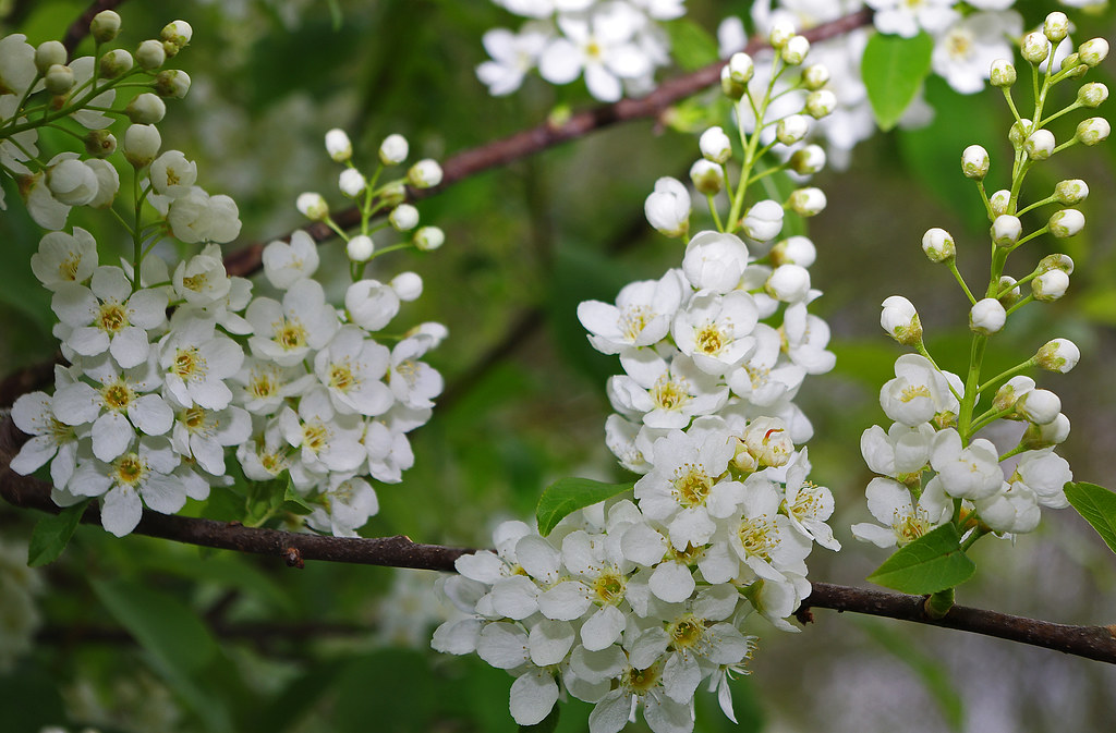
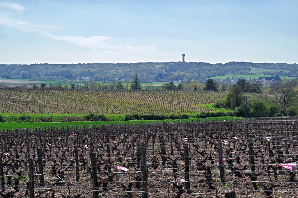
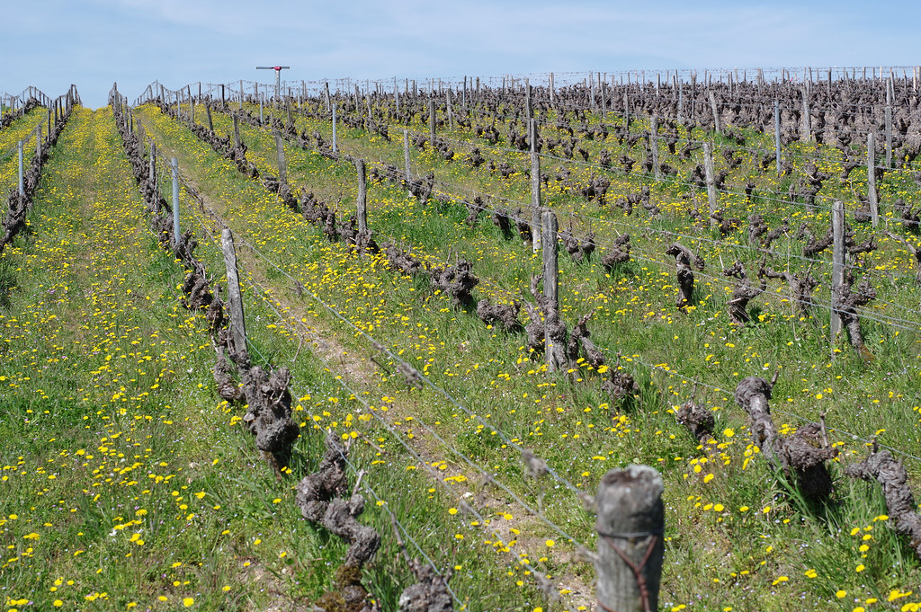
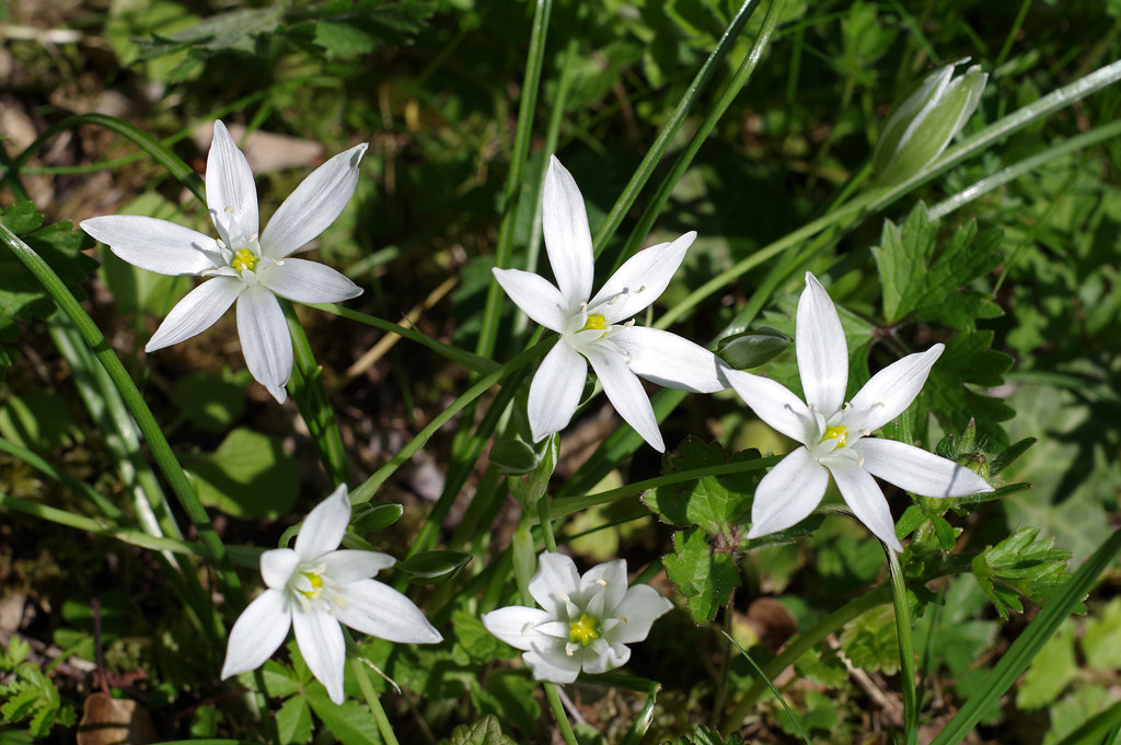
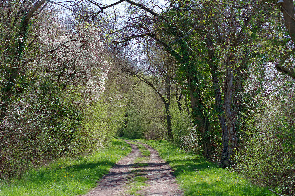
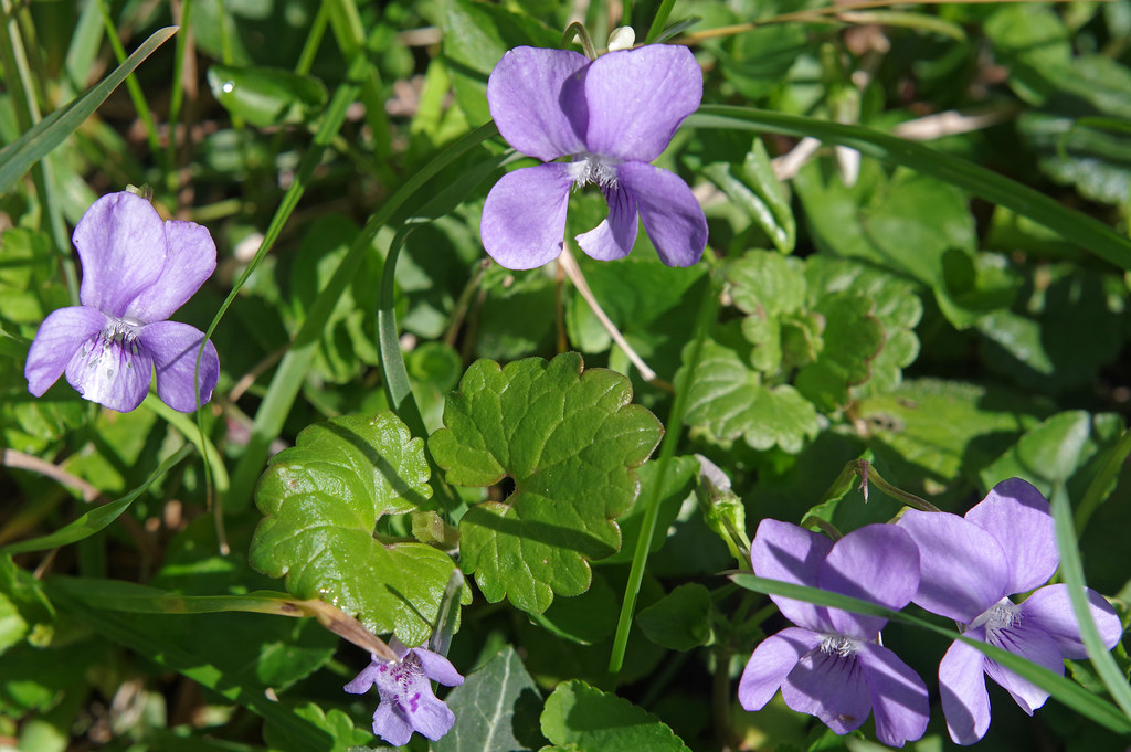
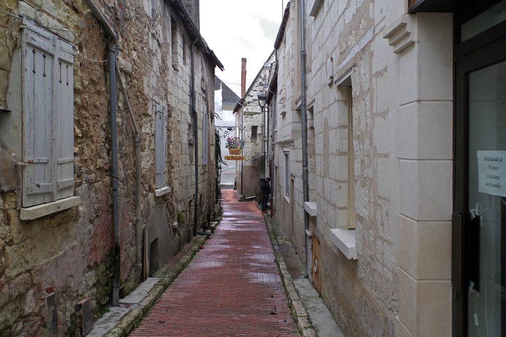
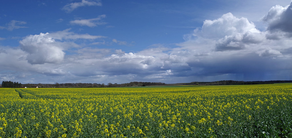
Photos Thenay
|
See all photos of Thenay :
Other photos of Thenay and nearby towns can be found here: photos Thenay
|
|
Thenay weather forecast
Find next hours and 7 days weather forecast for Thenay here : weather Thenay (with english metrics)
This is the last weather forecast for Thenay collected by the nearest observation station of Montrichard.
Week Forecast:
The latest weather data for Thenay were collected Wednesday, 17 April 2024 at 17:00 from the nearest observation station of Montrichard.
| Wednesday, April 17th |
13°C 4°C
0%
63%
|
Partly cloudy
Temperature Max: 13°C Temperature Min: 4°C
Precipitation Probability: 0%
Percentage of sky occluded by clouds: 63%
Wind speed: 17 km/h South-East
Humidity: 70%° UV Index: 4
Sunrise: 07:02 Sunset: 20:47 |
|
| | Thursday, April 18th |
13°C 4°C
0%
41%
|
Partly cloudy
Temperature Max: 13°C Temperature Min: 4°C
Precipitation Probability: 0%
Percentage of sky occluded by clouds: 41%
Wind speed: 16 km/h South
Humidity: 66%° UV Index: 4
Sunrise: 07:00 Sunset: 20:49 |
|
| | Friday, April 19th |
16°C 3°C
0%
42%
|
Partly cloudy
Temperature Max: 16°C Temperature Min: 3°C
Precipitation Probability: 0%
Percentage of sky occluded by clouds: 42%
Wind speed: 18 km/h East
Humidity: 62%° UV Index: 5
Sunrise: 06:58 Sunset: 20:50 |
|
| | Saturday, April 20th |
13°C 5°C
0%
48%
|
Partly cloudy
Temperature Max: 13°C Temperature Min: 5°C
Precipitation Probability: 0%
Percentage of sky occluded by clouds: 48%
Wind speed: 16 km/h Sout-East
Humidity: 60%° UV Index: 4
Sunrise: 06:57 Sunset: 20:52 |
|
|
Attribution: 
|
|
Other maps, hotels and towns in france
Find another town, zip code, department, region, ...
Quick links Thenay :
Make a link to this page of Thenay with the following code :
|
|
|
 French Version : http://www.cartesfrance.fr/carte-france-ville/41257_Thenay.html