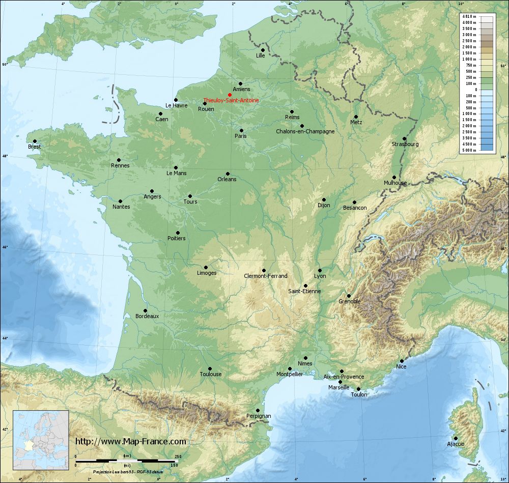
Thieuloy-Saint-Antoine on the relief France map in Lambert 93 coordinates
|
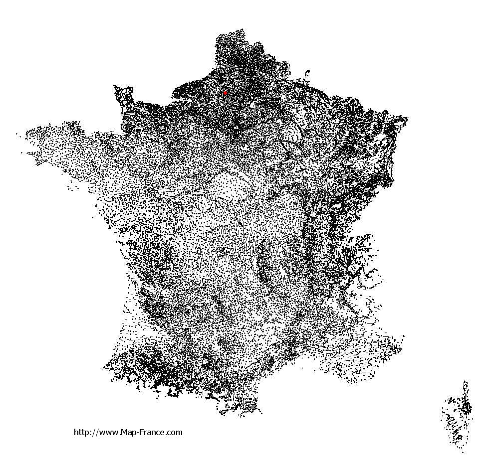
See the map of Thieuloy-Saint-Antoine in full screen (1000 x 949)
|
At left, here is the location of Thieuloy-Saint-Antoine on the relief France map in Lambert 93 coordinates.
Here are the altitudes of Thieuloy-Saint-Antoine :
- Town hall altitude of Thieuloy-Saint-Antoine is 186 meters
- Minimum altitude of Thieuloy-Saint-Antoine is 165 meters
- Maximum altitude of Thieuloy-Saint-Antoine is 196 meters
- Medium altitude of Thieuloy-Saint-Antoine is 181 meters
Here are the altitudes of Beauvais, prefecture of Oise department:
- Town hall altitude of Beauvais is 67 meters
- Minimum altitude of Beauvais is 57 meters
- Maximum altitude of Beauvais is 170 meters
- Medium altitude of Beauvais is 114 meters
Here are the altitudes of the french biggest cities:
Paris : 33 meters
Marseille : 20 meters
Lyon : 237 meters
Toulouse : 146 meters
Nice : 10 meters
Nantes : 20 meters
Strasbourg : 144 meters
Montpellier : 35 meters
Bordeaux : 16 meters
Lille : 20 meters
Rennes : 35 meters
Reims : 83 meters
Click here for the terrain map of Thieuloy-Saint-Antoine in full screen:
Relief map of Thieuloy-Saint-Antoine
|
This relief map of Thieuloy-Saint-Antoine is reusable and modifiable by making a link to this page of the Map-France.com website or by using the given code :
|
Terrain base map of Thieuloy-Saint-Antoine
|

See the terrain base map of Thieuloy-Saint-Antoine in full screen (1000 x 949)
|
Small relief base map of Thieuloy-Saint-Antoine

|
This base map of Thieuloy-Saint-Antoine is reusable and modifiable by making a link to this page of the Map-France.com website or by using the given code :
|
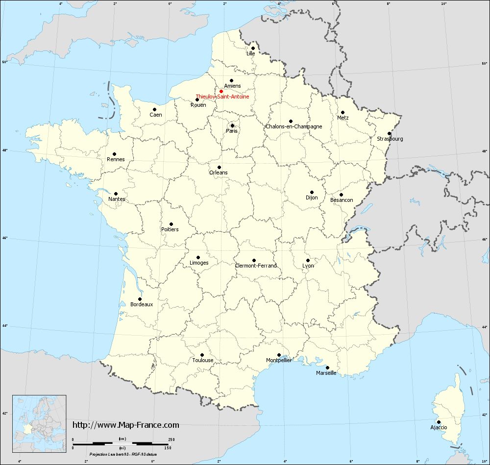
Map of Thieuloy-Saint-Antoine with regions and prefectures
|
View the map of Thieuloy-Saint-Antoine in full screen (1000 x 949)
|
You will find the location of Thieuloy-Saint-Antoine on the map of France of regions in Lambert 93 coordinates. The town of Thieuloy-Saint-Antoine is located in the department of Oise of the french region Picardie.
Geographical sexagesimal coordinates / GPS (WGS84):
Latitude: 49° 38' 03'' North
Longitude: 01° 56' 46'' East
Geographical decimal coordinates :
Latitude: 49.633 degrees (49.633° North)
Longitude: 1.948 degrees (1.948° East)
Lambert 93 coordinates :
X: 6 238 hectometers
Y: 69 488 hectometers
Lambert 2 coordinates :
X: 5 718 hectometers
Y: 25 153 hectometers
Below, the geographical coordinates of Beauvais, prefecture of the Oise department:
Geographical sexagesimal coordinates / GPS (WGS84):
Latitude: 49° 26' 03'' North
Longitude: 02° 05' 15'' East
Geographical decimal coordinates :
Latitude: 49.435 degrees (49.435° North)
Longitude: 2.082 degrees (2.082° East)
Lambert 93 coordinates :
X: 6 338 hectometers
Y: 69 265 hectometers
Lambert 2 coordinates :
X: 5 819 hectometers
Y: 24 930 hectometers
|
This map of Thieuloy-Saint-Antoine is reusable and modifiable by making a link to this page of the Map-France.com website or by using the given code :
|
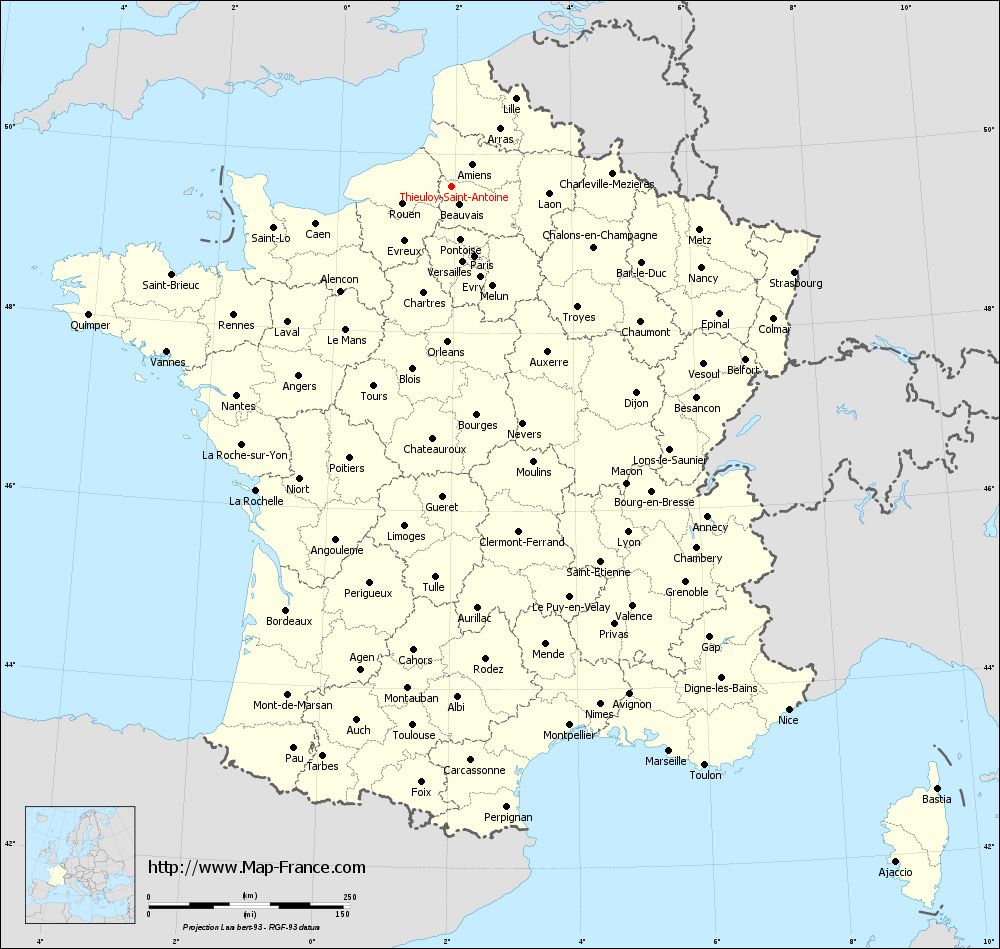
Map of Thieuloy-Saint-Antoine with departments and prefectures
|
Voir la carte of Thieuloy-Saint-Antoine en grand format (1000 x 949)
|
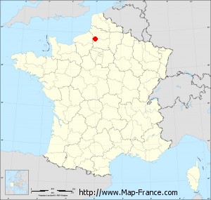
Here is the localization of Thieuloy-Saint-Antoine on the France map of departments in Lambert 93 coordinates. The city of Thieuloy-Saint-Antoine is shown on the map by a red point.
The town of Thieuloy-Saint-Antoine is located in the department of Oise of the french region Picardie.
The latitude of Thieuloy-Saint-Antoine is 49.633 degrees North.
The longitude of Thieuloy-Saint-Antoine is 1.948 degrees East.
Here the distance between Thieuloy-Saint-Antoine and the biggest cities of France:
Distances are calculated as the crow flies (orthodromic distance)
Distance between Thieuloy-Saint-Antoine and Paris : 90.52 kilometers
Distance between Thieuloy-Saint-Antoine and Marseille : 751.65 kilometers
Distance between Thieuloy-Saint-Antoine and Lyon : 481.37 kilometers
Distance between Thieuloy-Saint-Antoine and Toulouse : 671.38 kilometers
Distance between Thieuloy-Saint-Antoine and Nice : 772.74 kilometers
Distance between Thieuloy-Saint-Antoine and Nantes : 372.19 kilometers
Distance between Thieuloy-Saint-Antoine and Strasbourg : 438.08 kilometers
Distance between Thieuloy-Saint-Antoine and Montpellier : 685.22 kilometers
Distance between Thieuloy-Saint-Antoine and Bordeaux : 565.12 kilometers
Distance between Thieuloy-Saint-Antoine and Lille : 135.36 kilometers
Distance between Thieuloy-Saint-Antoine and Rennes : 314.62 kilometers
Distance between Thieuloy-Saint-Antoine and Reims : 156.17 kilometers
Clic here to see the map of Thieuloy-Saint-Antoine in full screen:
Thieuloy-Saint-Antoine on the map of french departments
|
This administrative map of Thieuloy-Saint-Antoine is reusable and modifiable by making a link to this page of the Map-France.com website or by using the given code :
|
Administrative base maps of Thieuloy-Saint-Antoine
|

See the administrative base map of Thieuloy-Saint-Antoine in full screen (1000 x 949)
|
Small administrative base map of Thieuloy-Saint-Antoine
|
This base map administrative of Thieuloy-Saint-Antoine is reusable and modifiable by making a link to this page of the Map-France.com website or by using the given code :
|
 French Version : http://www.cartesfrance.fr