|
The village of Tournebu is a small village located north west of France. The town of Tournebu is located in the department of Calvados of the french region Basse-Normandie. The town of Tournebu is located in the township of Thury-Harcourt part of the district of Caen. The area code for Tournebu is 14703 (also known as code INSEE), and the Tournebu zip code is 14220.
Geography and map of Tournebu :
The altitude of the city hall of Tournebu is approximately 160 meters. The Tournebu surface is 11.40 km ². The latitude and longitude of Tournebu are 48.972 degrees North and 0.339 degrees West.
Nearby cities and towns of Tournebu are :
Moulines (14220) at 2.03 km, Martainville (14220) at 2.07 km, Acqueville (14220) at 2.11 km, Fontaine-le-Pin (14190) at 4.12 km, Barbery (14220) at 4.14 km, Saint-Germain-le-Vasson (14190) at 4.15 km, Cesny-Bois-Halbout (14220) at 4.19 km, Meslay (14220) at 4.26 km.
(The distances to these nearby towns of Tournebu are calculated as the crow flies)
Population and housing of Tournebu :
The population of Tournebu was 295 in 1999, 352 in 2006 and 356 in 2007. The population density of Tournebu is 31.23 inhabitants per km². The number of housing of Tournebu was 151 in 2007. These homes of Tournebu consist of 134 main residences, 8 second or occasional homes and 9 vacant homes. |
|
|
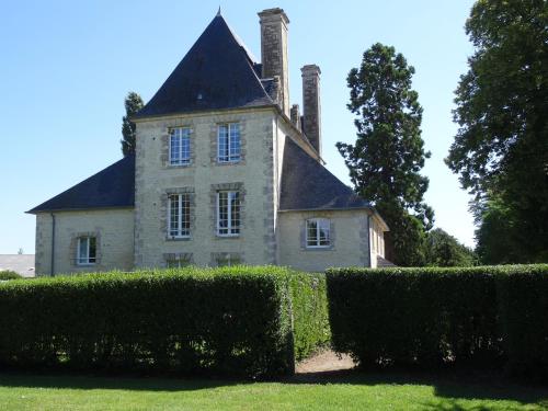
Hotel Tournebu
|
|
|
Book now ! Best Price Guaranteed, no booking fees, pay at the hotel with our partner Booking.com, leader in online hotel reservation.
Find all hotels of Tournebu : Hotel Tournebu
| |
|
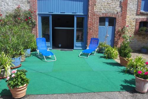
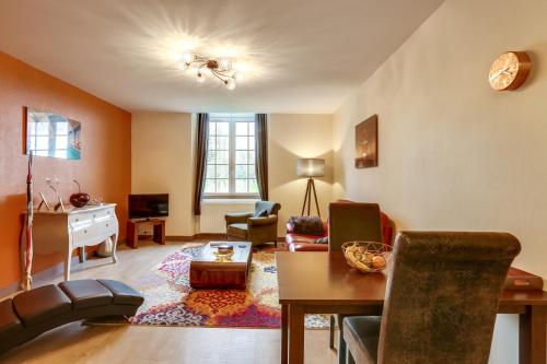
Bed and Breakfast : jardin des sequoias
Located in Ussy in the Lower Normandy region, jardin des sequoias has a garden. Guests may enjoy free WiFi. The bed and breakfast has a satellite flat-screen TV. A continental...
Address : 5 route de la chesnaie 14420 Ussy
Distance Bed and Breakfast - Tournebu : 3.98 km
|
|
|
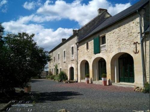
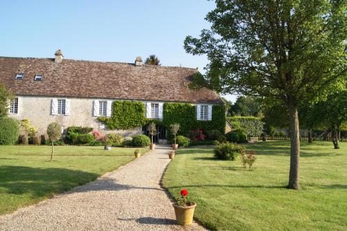
Guest accommodation : La Mare aux 3 Diables
Situated in the village of Fresney-le-Vieux in the heart of Lower Normandy, this guesthouse is located in a 17th century building and surrounded by 1.5 hectares of parkland. Gu...
Price : from 105.00 €
to 235.00 €
Contact : 13, rue du Chemin Vert 14220 Fresney-le-Vieux
Distance Guest accommodation - Tournebu : 4.99 km
|
|
|
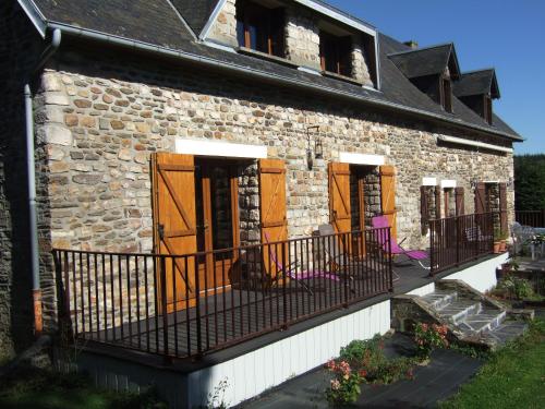
Guest accommodation : La Vieille Ferme
Set in the countryside in the heart of La Suisse Normande, La Vieille Ferme is located 25 km from Caen and offers accommodation in Donnay. Guests may be accommodated either in a...
Prices : from 50.00 €
to 60.00 €
Contact : La Gouitiere 14220 Donnay
Distance Guest accommodation - Tournebu : 6.85 km
|
|
|
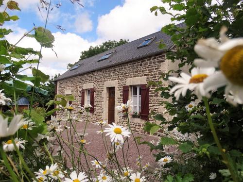
Bed and Breakfast : Les plesses
Les plesses is situated in Villers-Canivet and offers free bikes, barbecue facilities and a garden. Guests staying at this bed and breakfast have access to free WiFi. The bed a...
Rate : from 50.00 €
to 65.00 €
Contact : 24 Route de martigny 14420 Villers-Canivet
Distance Bed and Breakfast - Tournebu : 6.92 km
|
|
|
Apartment : Château Turgot Gîtes

Château Turgot Gîtes offers apartments set in a tower of this 17th-century chateau, located in the countryside in Bons-Tassily. It features a tree-lined garden and free parking ...
Price : from 90.00 €
to 190.00 €
Address : Allée du château Turgot 14420 Bons-Tassily
Distance Apartment - Tournebu : 7.34 km
|
|
|
Apartment : Le Seigneur de Bons
Set in Bons-Tassily, Le Seigneur de Bons offers self-catering accommodation with free WiFi. The property is a 15-minute drive from Caen and free private parking is available on ...
Prices : from 79.00 €
to 99.00 €
Contact : 13 Allée du Chateau Turgot 14420 Bons-Tassily
Distance Apartment - Tournebu : 7.39 km
|
|
|
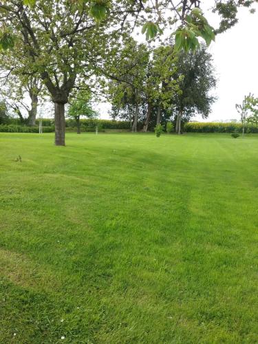
Bed and Breakfast : Manoir de la Pataudière B&B
Manoir de la Pataudière is only 7 km from the Château de Guillaume le Conquérant in Falaise and 28 km from Caen. It dates from the 17th century and offers a 1-hectare garden. Fr...
Rate : from 118.00 €
to 198.00 €
Contact : 3 route de Thury-Harcourt 14420 Villers-Canivet
Distance Bed and Breakfast - Tournebu : 7.48 km
|
|
|
Guest accommodation : Gite du Tilleul
Boasting barbecue facilities, a garden, and a terrace, Gite du Tilleul provides accommodation in Pierrefitte-en-Cinglais with free WiFi and garden views. Guests staying at this ...
Contact : le Tilleul 2, chemin du lavoir 14690 Pierrefitte-en-Cinglais
Distance Guest accommodation - Tournebu : 7.62 km
|
|
|
Guest accommodation : L'Ancien Pressoir
L'Ancien Pressoir is situated in Pierrefitte-en-Cinglais and offers barbecue facilities and a garden. Guests may enjoy the free WiFi. This holiday home has a flat-screen TV, a ...
Prices : from 70.00 €
to 115.00 €
Address : 3 route du hameau boeuf 14690 Pierrefitte-en-Cinglais
Distance Guest accommodation - Tournebu : 8.37 km
|
|
|
Guest accommodation : Ma Cabane du Canada
Set in Combray in the Suisse Normande area, 27 km from Caen, Ma Cabane du Canada boasts a sun terrace and views of the garden. Every room includes a shared bathroom. There is ...
Rate : from 44.00 €
Contact : 22 rue de la Courrière - Combray 14220 Combray
Distance Guest accommodation - Tournebu : 8.82 km
|
|
Find another hotel near Tournebu : Tournebu hotels list
|
Map of Tournebu
|
|
Map of Tournebu :
At right you can find the localization of Tournebu on the map of France. Below, this is the satellite map of Tournebu. A road map, and maps templates of Tournebu are available here : "road map of Tournebu". This map show Tournebu seen by the satellite of Google Map. To see the streets of Tournebu or move on another zone, use the buttons "zoom" and "map" on top of this dynamic map.
Search on the map of Tournebu :
To search hotels, housings, tourist information office, administrations or other services, use the Google search integrated to the map on the following page : "map Tournebu".
Hotels of Tournebu are listed on the map with the following icons: 
The map of Tournebu is centred in the following coordinates :
|

|
|
|
|
Print the map of Tournebu

Print the map of Tournebu : map of Tournebu
|
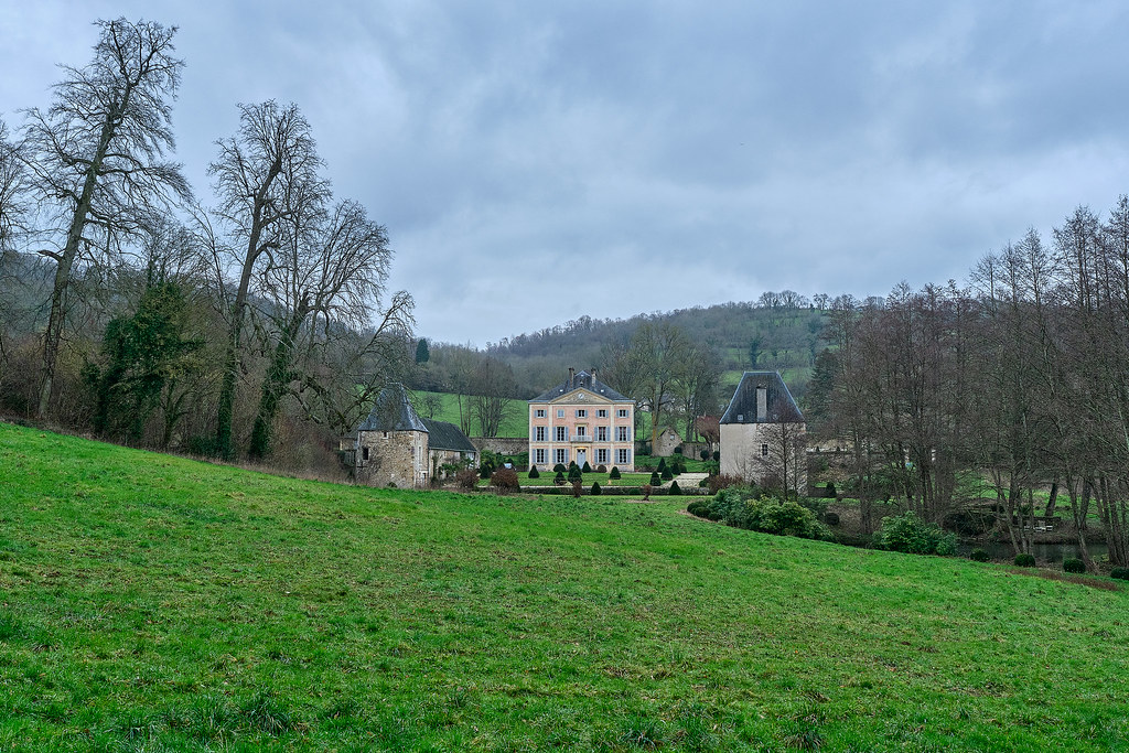
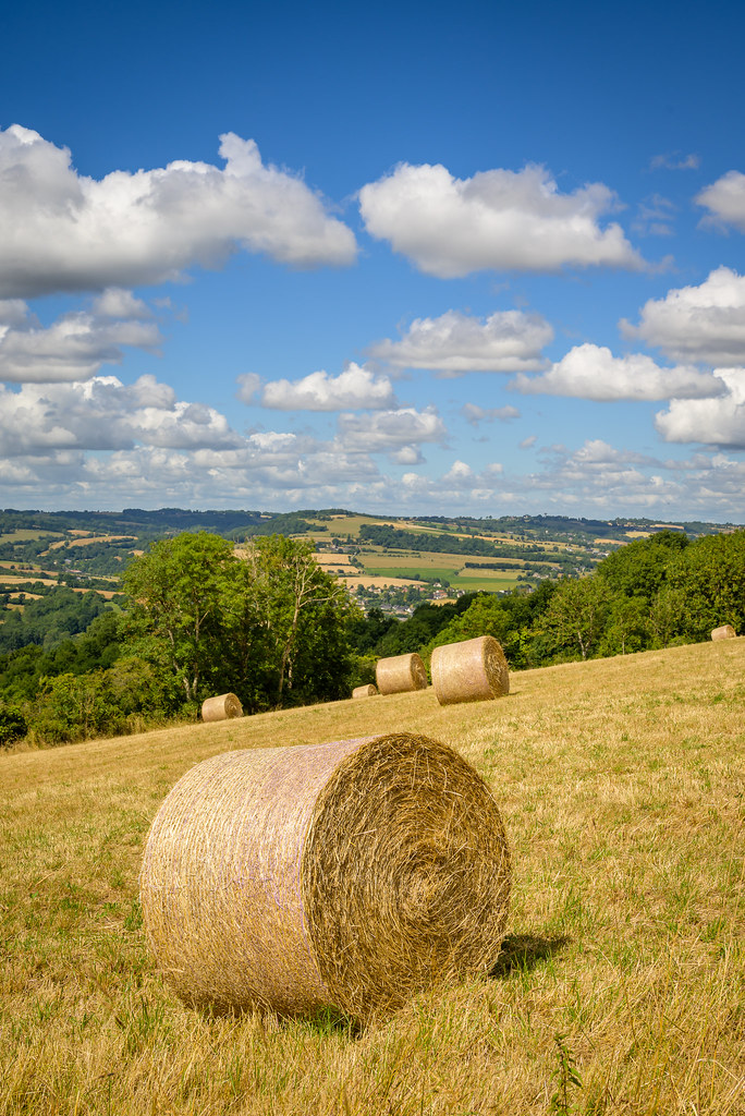
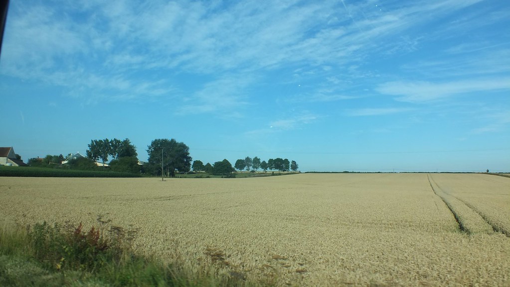
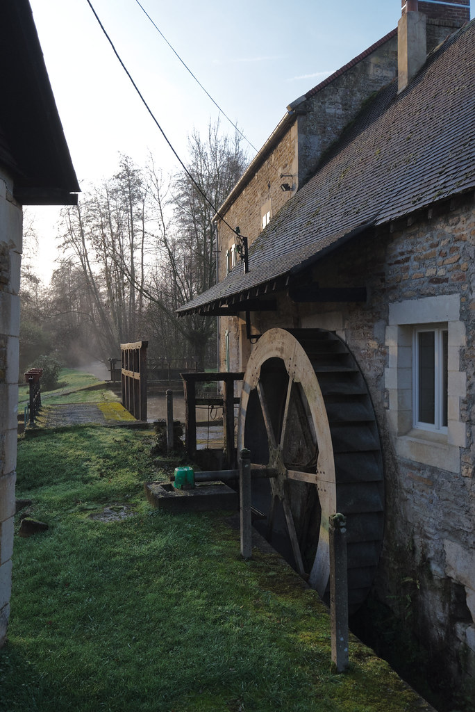
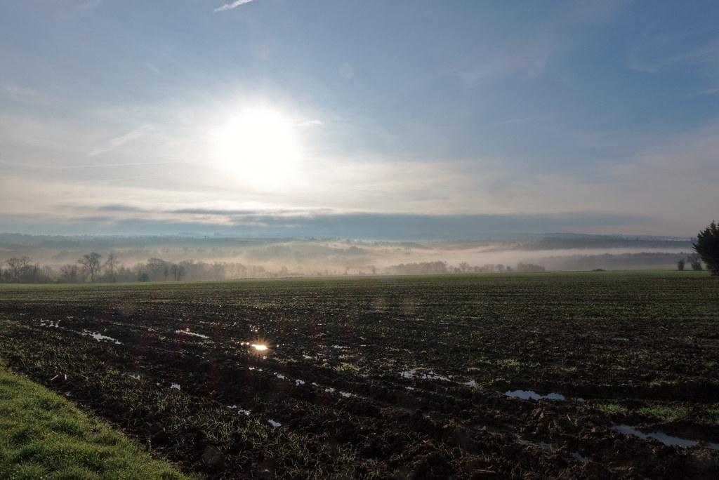
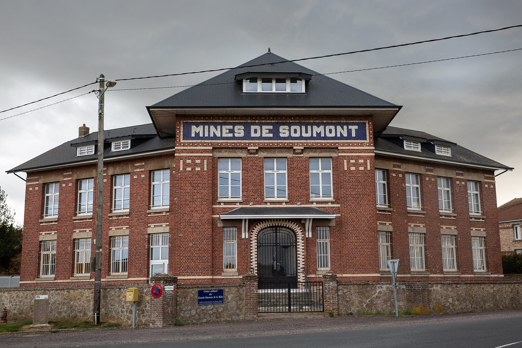
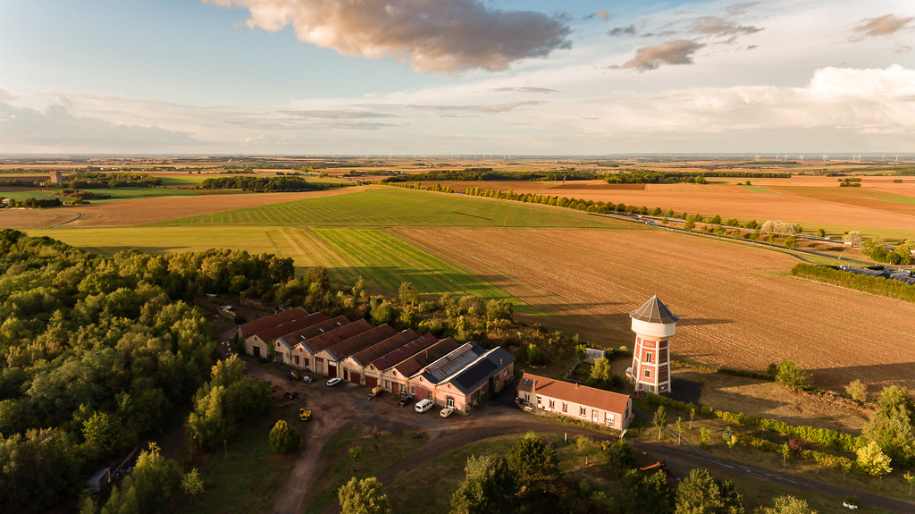
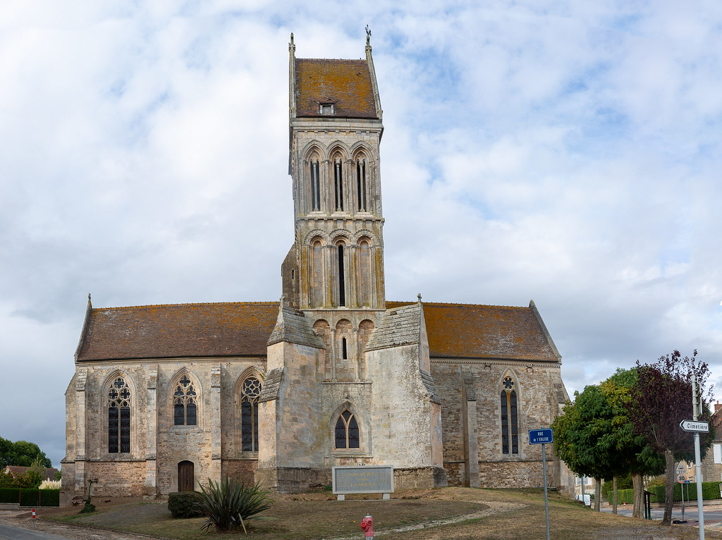
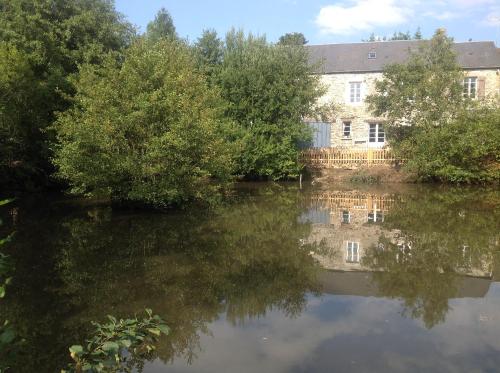
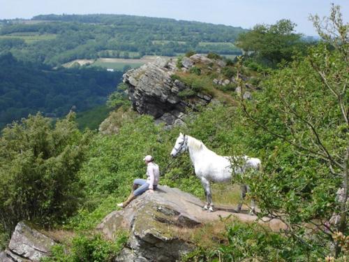
Photos Tournebu
|
See all photos of Tournebu :
Other photos of Tournebu and nearby towns can be found here: photos Tournebu
|
|
Tournebu weather forecast
Find next hours and 7 days weather forecast for Tournebu here : weather Tournebu (with english metrics)
This is the last weather forecast for Tournebu collected by the nearest observation station of Thury-Harcourt.
Week Forecast:
The latest weather data for Tournebu were collected Saturday, 20 April 2024 at 06:00 from the nearest observation station of Thury-Harcourt.
| Saturday, April 20th |
10°C 4°C
0%
56%
|
Partly cloudy
Temperature Max: 10°C Temperature Min: 4°C
Precipitation Probability: 0%
Percentage of sky occluded by clouds: 56%
Wind speed: 19 km/h South
Humidity: 62%° UV Index: 4
Sunrise: 07:00 Sunset: 21:02 |
|
| | Sunday, April 21st |
10°C 3°C
0%
70%
|
Partly cloudy
Temperature Max: 10°C Temperature Min: 3°C
Precipitation Probability: 0%
Percentage of sky occluded by clouds: 70%
Wind speed: 22 km/h South
Humidity: 65%° UV Index: 3
Sunrise: 06:58 Sunset: 21:03 |
|
| | Monday, April 22nd |
11°C 2°C
0%
61%
|
Partly cloudy
Temperature Max: 11°C Temperature Min: 2°C
Precipitation Probability: 0%
Percentage of sky occluded by clouds: 61%
Wind speed: 16 km/h South
Humidity: 64%° UV Index: 3
Sunrise: 06:56 Sunset: 21:05 |
|
| | Tuesday, April 23rd |
10°C 3°C
44%
81%
|
Drizzle
Temperature Max: 10°C Temperature Min: 3°C
Precipitation Probability: 44% (Rain)
Percentage of sky occluded by clouds: 81%
Wind speed: 20 km/h South
Humidity: 77%° UV Index: 3
Sunrise: 06:54 Sunset: 21:06 |
|
|
Attribution: 
|
|
Other maps, hotels and towns in france
Find another town, zip code, department, region, ...
Quick links Tournebu :
Make a link to this page of Tournebu with the following code :
|
|
|
 French Version : http://www.cartesfrance.fr/carte-france-ville/14703_Tournebu.html