|
The village of Tralaigues is a small village located center of France. The town of Tralaigues is located in the department of Puy-de-Dôme of the french region Auvergne. The town of Tralaigues is located in the township of Pontaumur part of the district of Riom. The area code for Tralaigues is 63436 (also known as code INSEE), and the Tralaigues zip code is 63380.
Geography and map of Tralaigues :
The altitude of the city hall of Tralaigues is approximately 640 meters. The Tralaigues surface is 5.11 km ². The latitude and longitude of Tralaigues are 45.902 degrees North and 2.595 degrees East.
Nearby cities and towns of Tralaigues are :
Montel-de-Gelat (63380) at 3.87 km, Villosanges (63380) at 4.28 km, Landogne (63380) at 5.45 km, Condat-en-Combraille (63380) at 6.15 km, Saint-Avit (63380) at 6.44 km, Pontaumur (63380) at 7.24 km, Combrailles (63380) at 7.43 km, Saint-Étienne-des-Champs (63380) at 8.06 km.
(The distances to these nearby towns of Tralaigues are calculated as the crow flies)
Population and housing of Tralaigues :
The population of Tralaigues was 78 in 1999, 82 in 2006 and 83 in 2007. The population density of Tralaigues is 16.24 inhabitants per km². The number of housing of Tralaigues was 46 in 2007. These homes of Tralaigues consist of 35 main residences, 9 second or occasional homes and 2 vacant homes. |
|
|
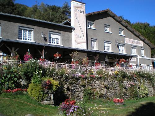
Hotel Tralaigues
|
|
|
Book now ! Best Price Guaranteed, no booking fees, pay at the hotel with our partner Booking.com, leader in online hotel reservation.
Find all hotels of Tralaigues : Hotel Tralaigues
| |
|
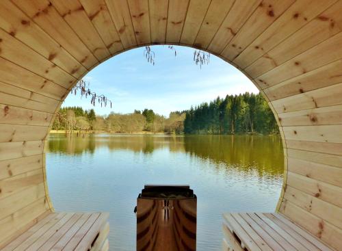
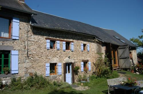
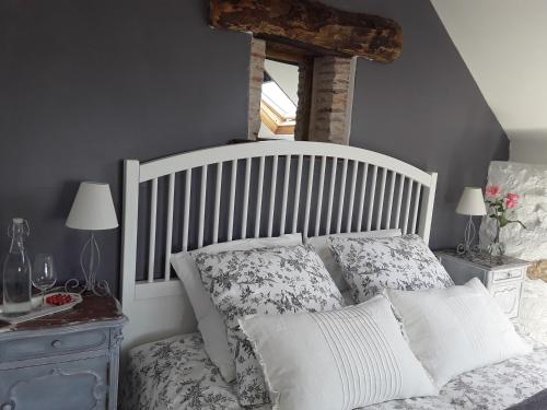
Guest accommodation : Domaine du Balbuzard
Domaine du Balbuzard offers accommodation with a garden and free WiFi. Some units have a seating area and/or a terrace. Guests at the camping can enjoy a buffet breakfast. Gue...
Rate : from 75.00 €
Address : Le Rouze 63380 Condat-en-Combraille
Distance Guest accommodation - Tralaigues : 7.18 km
|
|
|
Bed and Breakfast : Fermette d'Herbes
Set in a 250-year old stone farmhouse, Fermette d’Herbes is located in Mérinchal and offers a terrace, garden, and a trampoline. Vulcania Amusement Park is a 40-minute drive awa...
Contact : Le Lac 23420 Mérinchal
Distance Bed and Breakfast - Tralaigues : 7.88 km
|
|
|
Guest accommodation : Holiday home La Chazotte 2
Holiday home La Chazotte 2 is situated in Saint-Jacques-dʼAmbur and offers a terrace. Guests staying at this holiday home have access to a fully equipped kitchen. The holiday h...
Contact : 63230 Saint-Jacques-dʼAmbur
Distance Guest accommodation - Tralaigues : 12.17 km
|
|
|
Guest accommodation : Holiday home La Chazotte 1
Featuring accommodation with a terrace, Holiday home La Chazotte 1 is situated in Saint-Jacques-dʼAmbur. The accommodation is 29 km from Clermont-Ferrand. This holiday home com...
Contact : 63230 Saint-Jacques-dʼAmbur
Distance Guest accommodation - Tralaigues : 12.17 km
|
|
|
Bed and Breakfast : A l'Orée du Parc
Set in Saint-Priest-des-Champs, A l'Orée du Parc provides accommodation with access to a spa centre. The accommodation has a sauna. A flat-screen TV and Blu-ray player are avai...
Price : from 67.00 €
to 116.00 €
Address : Lieudit Gandichoux 63640 Saint-Priest-des-Champs
Distance Bed and Breakfast - Tralaigues : 13.33 km
|
|
|
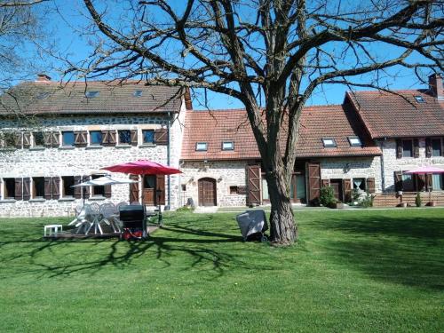
Hotel : La Cremaillere

Offering a restaurant, La Cremaillere is located in 7.2 km from Miremont. The property has a garden where guests can relax and a terrace with lake views. Free WiFi access is ava...
Prices : from 61.00 €
to 63.00 €
Contact : le pont du bouchet 63380 Miremont
Distance Hotel - Tralaigues : 13.71 km
|
|
|
Guest accommodation : La Belle Âme
Located 4 km from Saint-Priest-des-Champs, 36 km from Clermont-Ferrand, La Belle Âme boasts a garden with a barbecue and views of the mountain. Free private parking is available...
Contact : Chez Saby 63640 Saint-Priest-des-Champs
Distance Guest accommodation - Tralaigues : 14.01 km
|
|
|
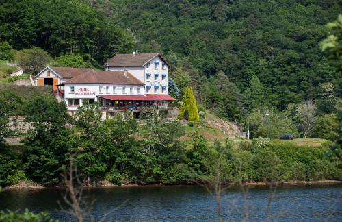
Located in Les Ancizes-Comps, Hôtel Belle Vue overlooks Fades Besserves Lake and offers a garden and a sun terrace. It is 40 km from Clermont-Ferrand. A free WiFi access is avai...
Price : from 62.00 €
to 88.00 €
Contact : Chez Saby - Plan d'eau 63770 Les Ancizes-Comps
Distance Hotel - Tralaigues : 14.02 km
|
|
|
Hotel : Auberge de la Hulotte
Located in Saint-Jacques-d’Ambur, Auberge de la Hulotte offers a garden, terrace and on-site restaurant. Vulcania Amusement Park is only 20 km away and the Puy de Dôme Mountain ...
Address : La Pêche 63230 Saint-Jacques-dʼAmbur
Distance Hotel - Tralaigues : 14.38 km
|
|

|
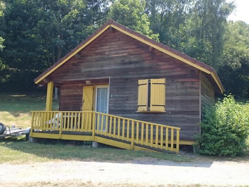
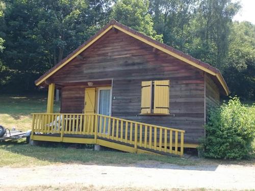
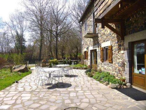
Guest accommodation : La Fermanerie - Les Gîtes
Situated in Giat, 49 km from Clermont-Ferrand, La Fermanerie offers a two-bedroom house and a wooden cabin in a farm. Le Mont-Dore is 40 km away. Free private parking is availab...
Contact : Jeandaleix 63620 Giat
Distance Guest accommodation - Tralaigues : 14.67 km
|
|
Find another hotel near Tralaigues : Tralaigues hotels list
|
Map of Tralaigues
|
|
Map of Tralaigues :
At right you can find the localization of Tralaigues on the map of France. Below, this is the satellite map of Tralaigues. A road map, and maps templates of Tralaigues are available here : "road map of Tralaigues". This map show Tralaigues seen by the satellite of Google Map. To see the streets of Tralaigues or move on another zone, use the buttons "zoom" and "map" on top of this dynamic map.
Search on the map of Tralaigues :
To search hotels, housings, tourist information office, administrations or other services, use the Google search integrated to the map on the following page : "map Tralaigues".
Hotels of Tralaigues are listed on the map with the following icons: 
The map of Tralaigues is centred in the following coordinates :
|

|
|
|
|
Print the map of Tralaigues

Print the map of Tralaigues : map of Tralaigues
|
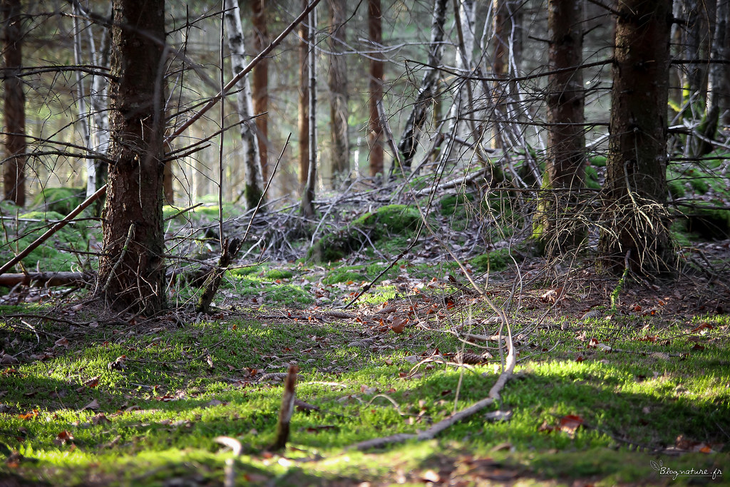
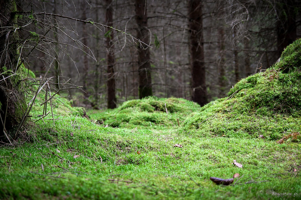
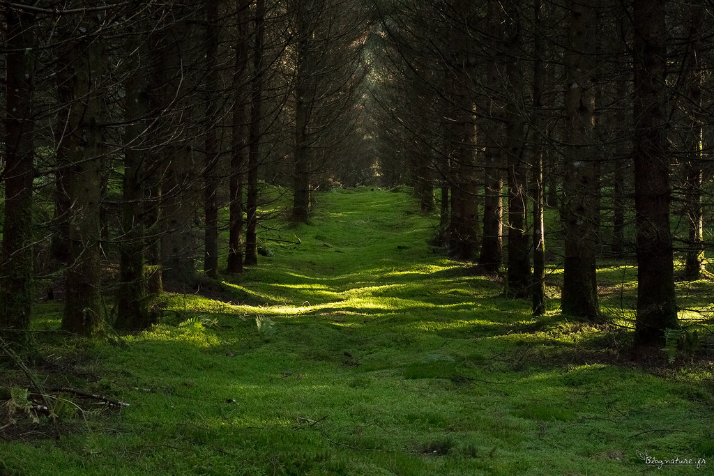
Photos Tralaigues
|
See all photos of Tralaigues :
Other photos of Tralaigues and nearby towns can be found here: photos Tralaigues
|
|
Tralaigues weather forecast
Find next hours and 7 days weather forecast for Tralaigues here : weather Tralaigues (with english metrics)
This is the last weather forecast for Tralaigues collected by the nearest observation station of Pontaumur.
Week Forecast:
The latest weather data for Tralaigues were collected Wednesday, 17 April 2024 at 17:00 from the nearest observation station of Pontaumur.
| Wednesday, April 17th |
8°C 2°C
72%
87%
|
Rain
Temperature Max: 8°C Temperature Min: 2°C
Precipitation Probability: 72% (Rain)
Percentage of sky occluded by clouds: 87%
Wind speed: 16 km/h South-East
Humidity: 77%° UV Index: 4
Sunrise: 06:59 Sunset: 20:39 |
|
| | Thursday, April 18th |
6°C 0°C
68%
85%
|
Rain
Temperature Max: 6°C Temperature Min: 0°C
Precipitation Probability: 68% (Rain)
Percentage of sky occluded by clouds: 85%
Wind speed: 15 km/h South
Humidity: 84%° UV Index: 3
Sunrise: 06:57 Sunset: 20:40 |
|
| | Friday, April 19th |
13°C -2°C
0%
25%
|
Mostly clear
Temperature Max: 13°C Temperature Min: -2°C
Precipitation Probability: 0%
Percentage of sky occluded by clouds: 25%
Wind speed: 10 km/h East
Humidity: 60%° UV Index: 5
Sunrise: 06:55 Sunset: 20:42 |
|
| | Saturday, April 20th |
9°C 3°C
27%
58%
|
Mostly cloudy
Temperature Max: 9°C Temperature Min: 3°C
Precipitation Probability: 27% (Rain)
Percentage of sky occluded by clouds: 58%
Wind speed: 15 km/h South
Humidity: 65%° UV Index: 5
Sunrise: 06:54 Sunset: 20:43 |
|
|
Attribution: 
|
|
Other maps, hotels and towns in france
Find another town, zip code, department, region, ...
Quick links Tralaigues :
Make a link to this page of Tralaigues with the following code :
|
|
|
 French Version : http://www.cartesfrance.fr/carte-france-ville/63436_Tralaigues.html