|
The village of Tréhet is a small village located center of France. The town of Tréhet is located in the department of Loir-et-Cher of the french region Centre. The town of Tréhet is located in the township of Montoire-sur-le-Loir part of the district of Vendôme. The area code for Tréhet is 41263 (also known as code INSEE), and the Tréhet zip code is 41800.
Geography and map of Tréhet :
The altitude of the city hall of Tréhet is approximately 60 meters. The Tréhet surface is 5.65 km ². The latitude and longitude of Tréhet are 47.735 degrees North and 0.624 degrees East.
Nearby cities and towns of Tréhet are :
Ruillé-sur-Loir (72340) at 2.08 km, Villedieu-le-Château (41800) at 2.39 km, La Chartre-sur-le-Loir (72340) at 3.77 km, Poncé-sur-le-Loir (72340) at 3.91 km, Couture-sur-Loir (41800) at 5.01 km, Lhomme (72340) at 5.05 km, Beaumont-sur-Dême (72340) at 6.04 km, Les Essarts (41800) at 7.18 km.
(The distances to these nearby towns of Tréhet are calculated as the crow flies)
Population and housing of Tréhet :
The population of Tréhet was 121 in 1999, 102 in 2006 and 100 in 2007. The population density of Tréhet is 17.70 inhabitants per km². The number of housing of Tréhet was 99 in 2007. These homes of Tréhet consist of 52 main residences, 42 second or occasional homes and 6 vacant homes. |
|
|
Hotel Tréhet
|
|
|
Book now ! Best Price Guaranteed, no booking fees, pay at the hotel with our partner Booking.com, leader in online hotel reservation.
Find all hotels of Tréhet : Hotel Tréhet
| |
|
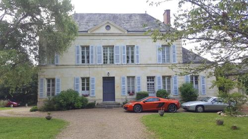
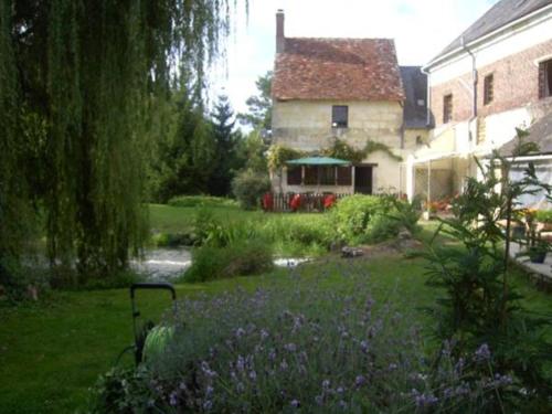
Guest accommodation : Gîte de Charme La Borde aux Moines

Gîte de Charme La Borde aux Moines is set in a renovated 19th-century farmhouse, situated a 45-minute drive from Le Mans racing circuit. Barbecue facilities and bikes are availa...
Address : La Borde aux Moines 72340 La Chartre-sur-le-Loir
Distance Guest accommodation - Tréhet : 1.89 km
|
|
|
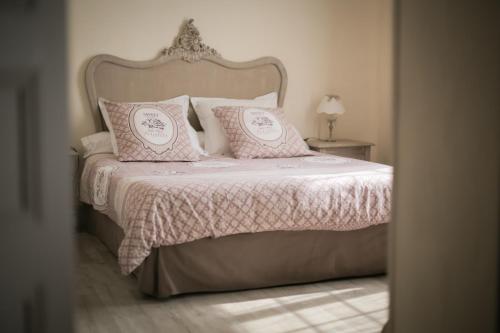
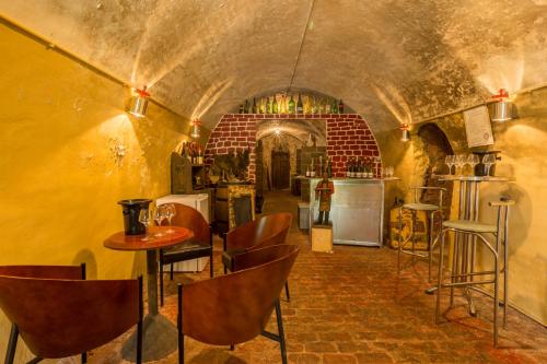
Bed and Breakfast : Chambres d'hôtes - Domaine Gigou
Chambres d'hôtes - Domaine Gigou is set in La Chartre-sur-le-Loir, 38 km from Tours. Free private parking is available on site. Guided visits to the property's wine cellars are ...
Price : from 49.50 €
to 99.00 €
Contact : 4 rue des Caves 72340 La Chartre-sur-le-Loir
Distance Bed and Breakfast - Tréhet : 3.03 km
|
|
|
Bed and Breakfast : La Tendrière
La Tendriere is located in Poncé-sur-le-Loir, a few metres from Le Loir River. This guest house is set in a property originally built in the 18th century and features en suite r...
Prices : from 58.00 €
to 90.00 €
Contact : 50 Rue Principale 72340 Poncé sur Le Loir
Distance Bed and Breakfast - Tréhet : 3.39 km
|
|

|
Hotel : Logis Hotel De France
Situated on the northern edge of the Loire Valleym the independently owned Hotel de France offers an ivy covered Art Déco façade and is located in La Chartre-sur-le-Loir. There ...
Rate : from 107.02 €
to 199.93 €
Contact : 20, Place De La République 72340 La Chartre-sur-le-Loir
Distance Hotel - Tréhet : 3.67 km
|
|
|
Bed and Breakfast : LA PONCÉ SECRÈTE
LA PONCÉ SECRÈTE is set in Poncé sur Le Loir. Free WiFi is available. There is a fully equipped private bathroom with shower and a hair dryer. A continental breakfast is avail...
Address : 2 RUE DES COTEAUX 72340 Poncé sur Le Loir
Distance Bed and Breakfast - Tréhet : 3.93 km
|
|
|
Guest accommodation : L'ecole des Filles
Set in Poncé sur Le Loir in the Pays de la Loire region, L'ecole des Filles has a terrace. It features a garden, river views and free WiFi. The holiday home comes with a flat-s...
Contact : Rue Du Tertre 72340 Poncé sur Le Loir
Distance Guest accommodation - Tréhet : 3.96 km
|
|
|
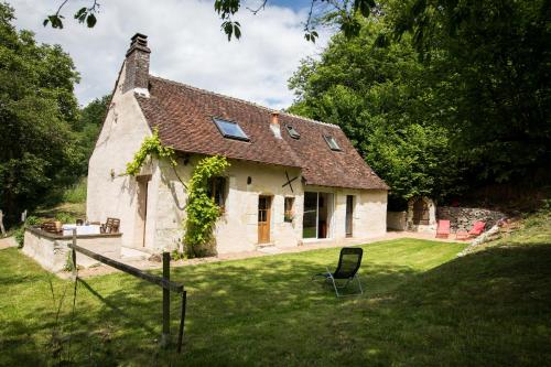
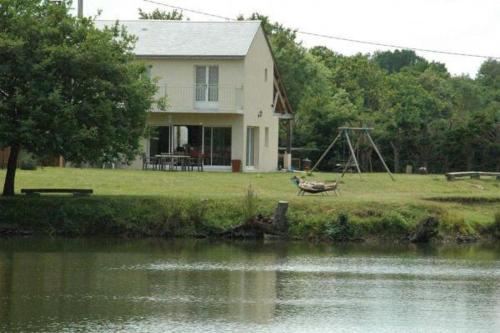
Guest accommodation : Holiday home Le Vaugarnier
Located in Couture-sur-Loir in the Centre region, Holiday home Le Vaugarnier features a terrace and garden views. Housed in a building dating from 19th century, this holiday hom...
Contact : Le Vaugarnier 41800 Couture-sur-Loir
Distance Guest accommodation - Tréhet : 5.14 km
|
|
|
Bed and Breakfast : Le Moulin de St Blaise
Featuring free WiFi, Le Moulin de St Blaise offers accommodation in Chahaignes, 45 km from Le Mans and 60 km from Tours. Free private parking is available on site. The property ...
Contact : Le Moulin de St Blaise 72340 Chahaignes
Distance Bed and Breakfast - Tréhet : 6.08 km
|
|
|
Bed and Breakfast : L'Autourserie
Located in the countryside of Chahaignes, L'Autourserie provides B&B accommodation, a furnished garden, a terrace and a 1-hectare fishing pond. It is 10 km from Château-du-Loir ...
Prices : from 60.00 €
to 75.00 €
Address : La Pointe 72340 Chahaignes
Distance Bed and Breakfast - Tréhet : 6.67 km
|
|
|
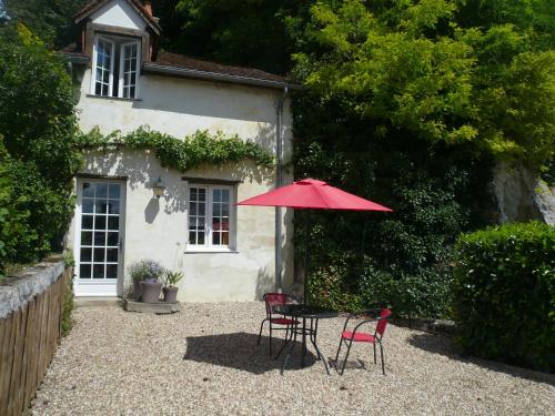
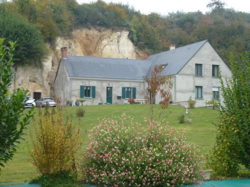
Bed and Breakfast : La Bossellerie
La Bossellerie provides accommodation in Courdemanche. Among the various facilities of this property are free bikes, barbecue facilities and a garden. Both free WiFi and private...
Rate : from 65.00 €
to 160.00 €
Contact : La bossellerie 72150 Courdemanche
Distance Bed and Breakfast - Tréhet : 8.50 km
|
|
Find another hotel near Tréhet : Tréhet hotels list
|
Map of Tréhet
|
|
Map of Tréhet :
At right you can find the localization of Tréhet on the map of France. Below, this is the satellite map of Tréhet. A road map, and maps templates of Tréhet are available here : "road map of Tréhet". This map show Tréhet seen by the satellite of Google Map. To see the streets of Tréhet or move on another zone, use the buttons "zoom" and "map" on top of this dynamic map.
Search on the map of Tréhet :
To search hotels, housings, tourist information office, administrations or other services, use the Google search integrated to the map on the following page : "map Tréhet".
Hotels of Tréhet are listed on the map with the following icons: 
The map of Tréhet is centred in the following coordinates :
|

|
|
|
|
Print the map of Tréhet

Print the map of Tréhet : map of Tréhet
|
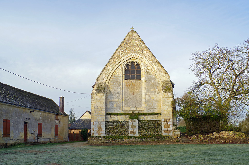
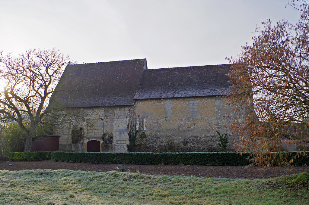
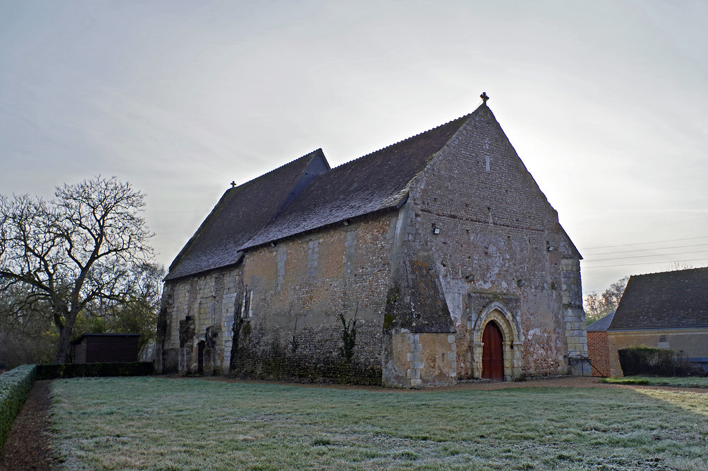
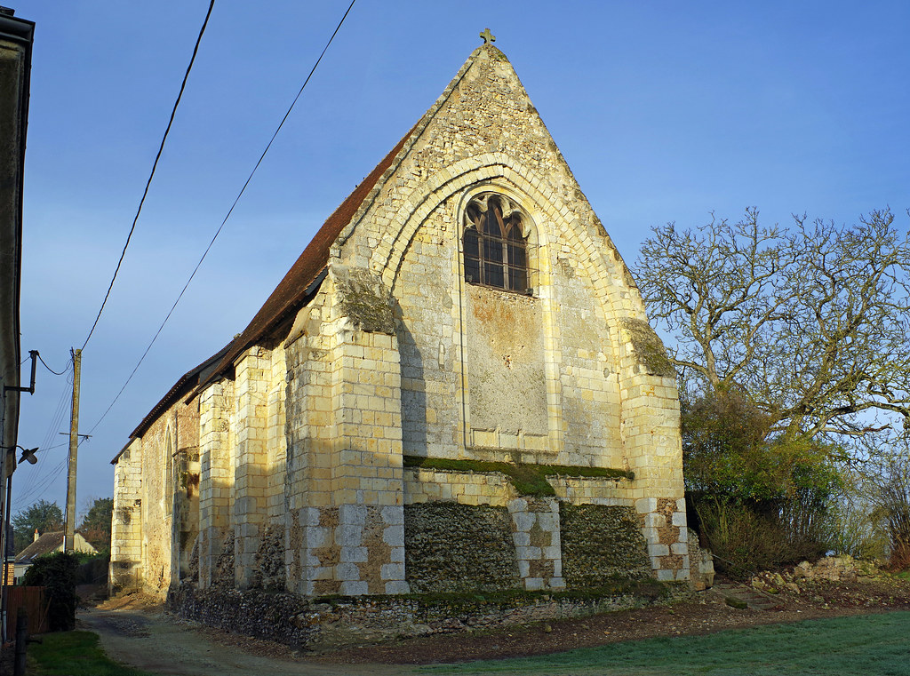
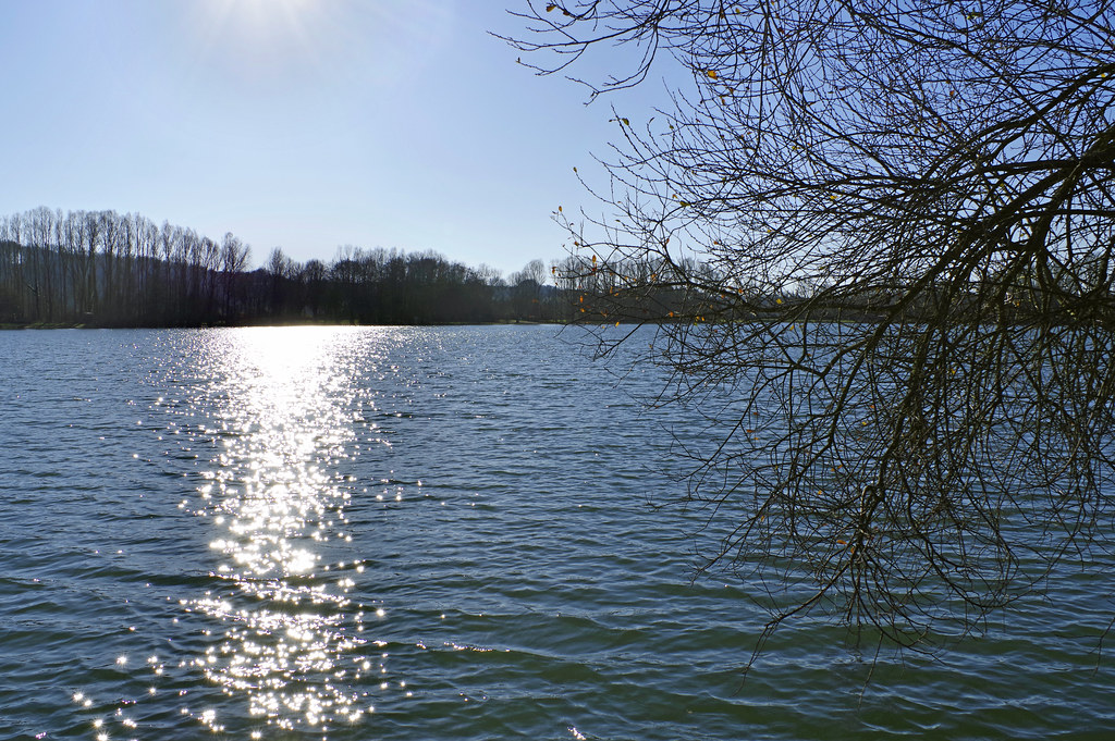
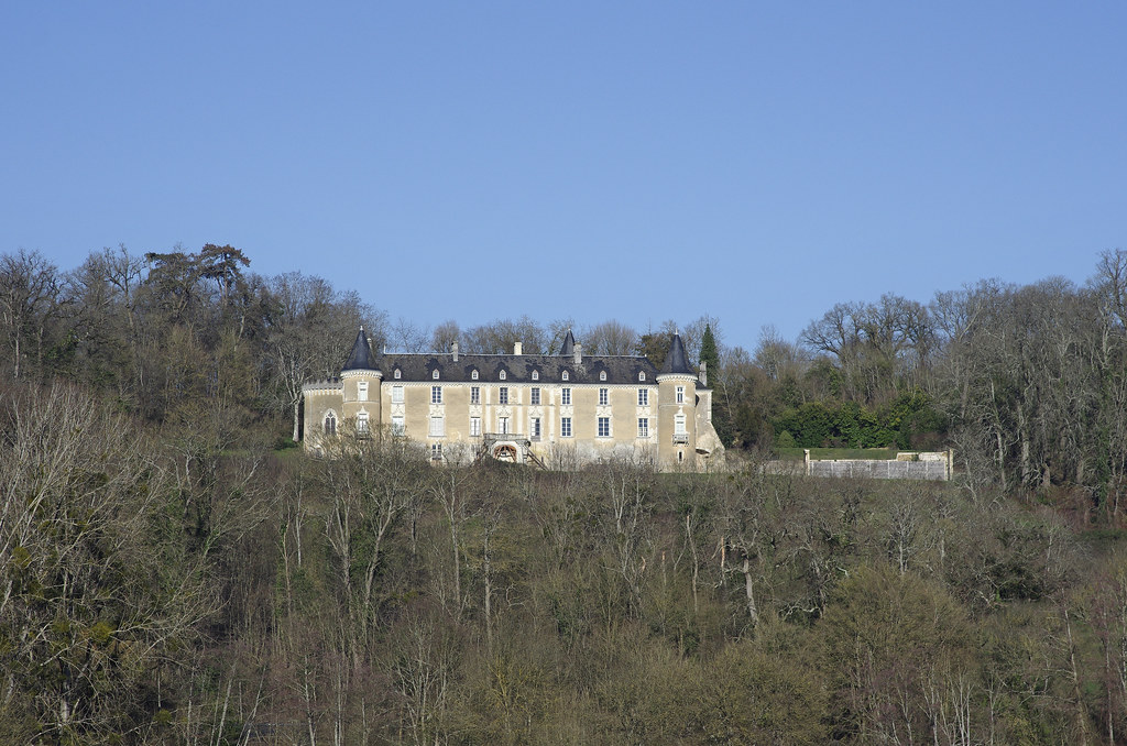
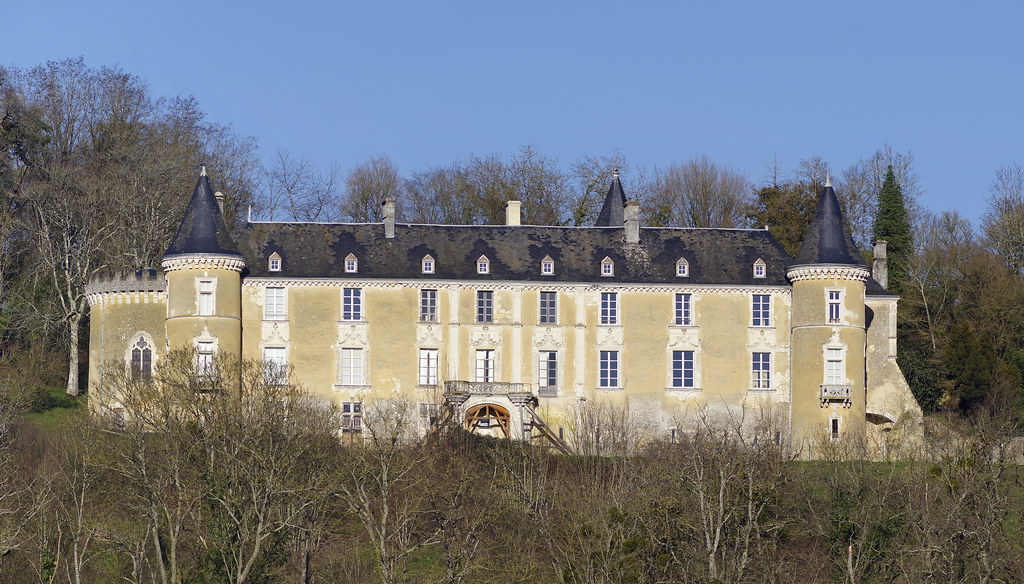
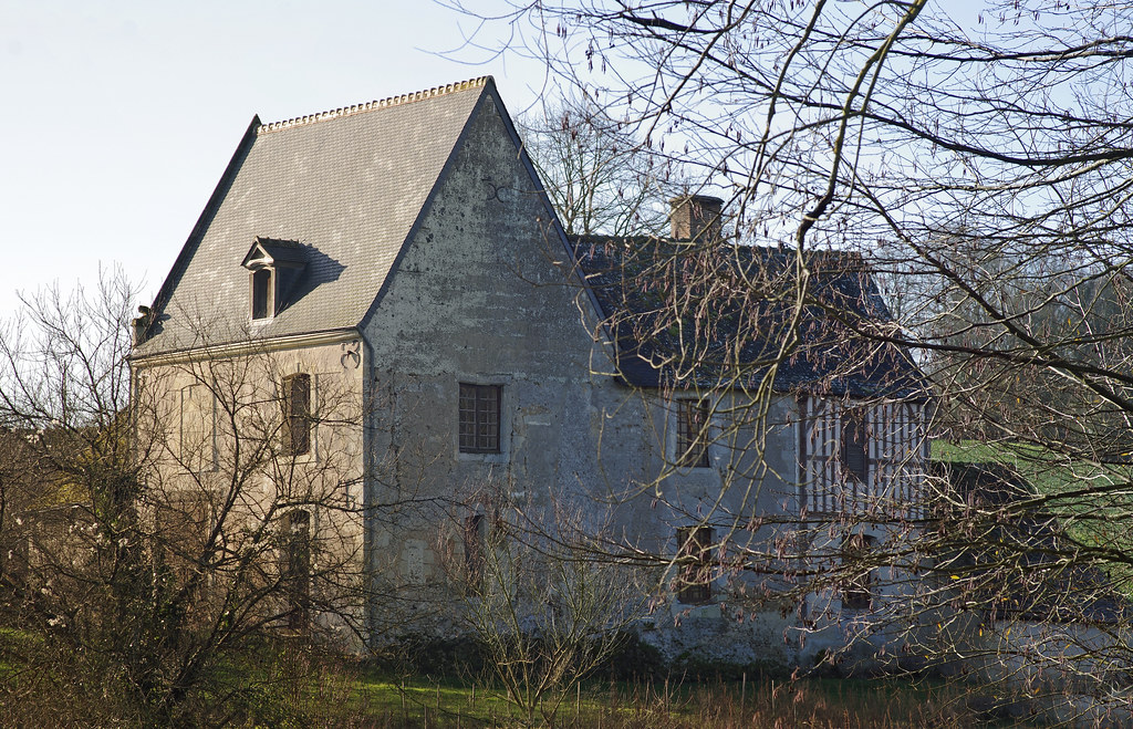
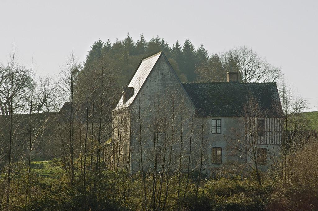
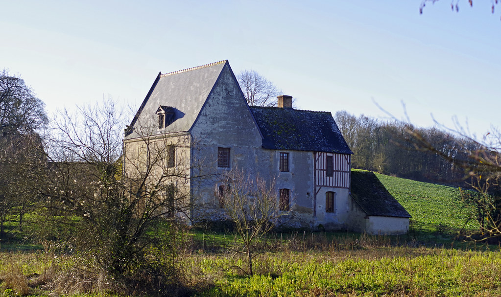
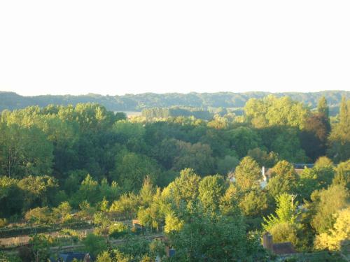
Photos Tréhet
|
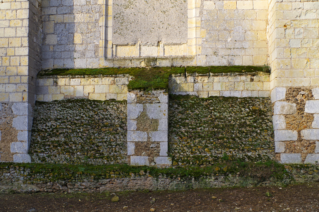
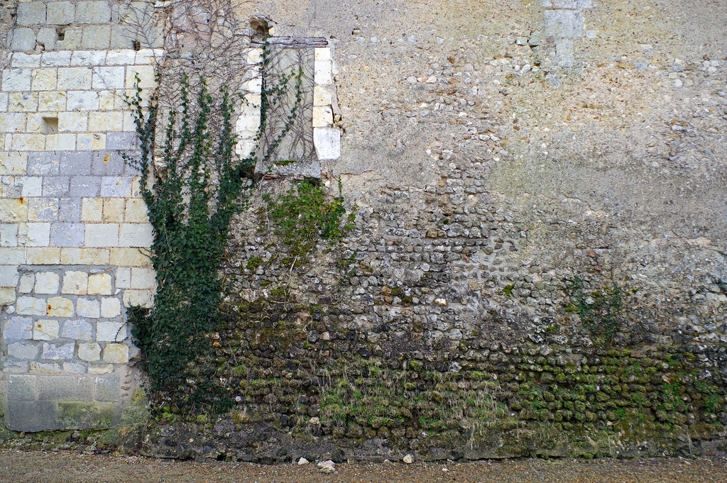
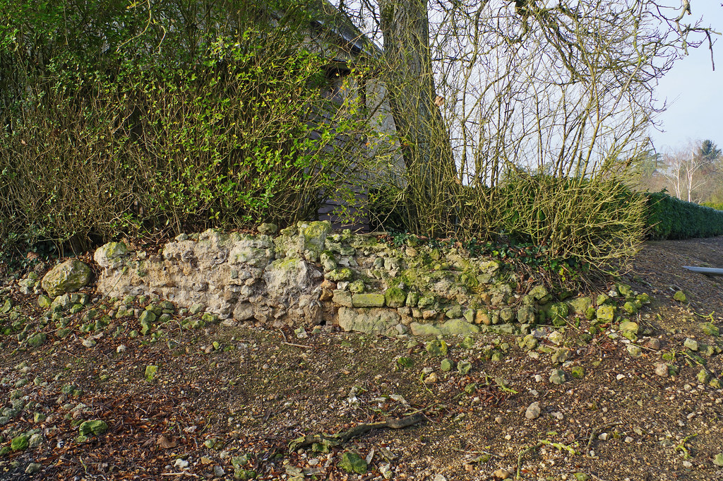
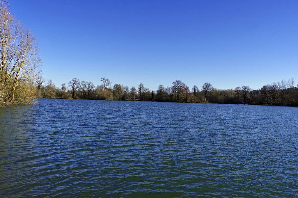
See all photos of Tréhet :
Other photos of Tréhet and nearby towns can be found here: photos Tréhet
|
|
Tréhet weather forecast
Find next hours and 7 days weather forecast for Tréhet here : weather Tréhet (with english metrics)
This is the last weather forecast for Tréhet collected by the nearest observation station of Montoire-sur-le-Loir.
Week Forecast:
The latest weather data for Tréhet were collected Thursday, 25 April 2024 at 13:00 from the nearest observation station of Montoire-sur-le-Loir.
| Thursday, April 25th |
13°C 4°C
17%
80%
|
Mostly cloudy
Temperature Max: 13°C Temperature Min: 4°C
Precipitation Probability: 17% (Rain)
Percentage of sky occluded by clouds: 80%
Wind speed: 8 km/h North
Humidity: 73%° UV Index: 3
Sunrise: 06:48 Sunset: 21:01 |
|
| | Friday, April 26th |
15°C 5°C
51%
91%
|
Drizzle
Temperature Max: 15°C Temperature Min: 5°C
Precipitation Probability: 51% (Rain)
Percentage of sky occluded by clouds: 91%
Wind speed: 12 km/h North-East
Humidity: 74%° UV Index: 3
Sunrise: 06:47 Sunset: 21:02 |
|
| | Saturday, April 27th |
15°C 7°C
78%
97%
|
Rain
Temperature Max: 15°C Temperature Min: 7°C
Precipitation Probability: 78% (Rain)
Percentage of sky occluded by clouds: 97%
Wind speed: 15 km/h North-West
Humidity: 86%° UV Index: 3
Sunrise: 06:45 Sunset: 21:04 |
|
| | Sunday, April 28th |
16°C 8°C
46%
60%
|
Drizzle
Temperature Max: 16°C Temperature Min: 8°C
Precipitation Probability: 46% (Rain)
Percentage of sky occluded by clouds: 60%
Wind speed: 21 km/h North-East
Humidity: 69%° UV Index: 3
Sunrise: 06:43 Sunset: 21:05 |
|
|
Attribution: 
|
|
Other maps, hotels and towns in france
Find another town, zip code, department, region, ...
Quick links Tréhet :
Make a link to this page of Tréhet with the following code :
|
|
|
 French Version : http://www.cartesfrance.fr/carte-france-ville/41263_Trehet.html