|
The village of Tromborn is a small village located north east of France. The town of Tromborn is located in the department of Moselle of the french region Lorraine. The town of Tromborn is located in the township of Bouzonville part of the district of Boulay-Moselle. The area code for Tromborn is 57681 (also known as code INSEE), and the Tromborn zip code is 57320.
Geography and map of Tromborn :
The altitude of the city hall of Tromborn is approximately 370 meters. The Tromborn surface is 6.13 km ². The latitude and longitude of Tromborn are 49.257 degrees North and 6.588 degrees East.
Nearby cities and towns of Tromborn are :
Oberdorff (57320) at 1.02 km, Brettnach (57320) at 1.85 km, Dalem (57550) at 2.41 km, Château-Rouge (57320) at 2.60 km, Rémering (57550) at 2.86 km, Alzing (57320) at 3.47 km, Téterchen (57220) at 3.51 km, Hargarten-aux-Mines (57550) at 3.86 km.
(The distances to these nearby towns of Tromborn are calculated as the crow flies)
Population and housing of Tromborn :
The population of Tromborn was 296 in 1999, 326 in 2006 and 330 in 2007. The population density of Tromborn is 53.83 inhabitants per km². The number of housing of Tromborn was 143 in 2007. These homes of Tromborn consist of 134 main residences, 2 second or occasional homes and 7 vacant homes. |
|
|
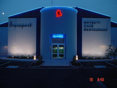
Hotel Tromborn
|
|
|
Book now ! Best Price Guaranteed, no booking fees, pay at the hotel with our partner Booking.com, leader in online hotel reservation.
Find all hotels of Tromborn : Hotel Tromborn
| |
|
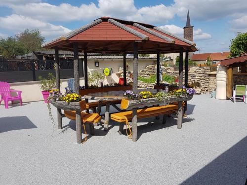
Guest accommodation : Le Chalet du Chemin et sa Roulotte
Le Chalet du Chemin et sa Roulotte is located in Berviller-en-Moselle within a natural setting. It offers a garden and free Wi-Fi access in public areas. The wooden caravan off...
Rate : from 125.00 €
to 225.00 €
Address : Chemin de la Carrière 57550 Berviller-en-Moselle
Distance Guest accommodation - Tromborn : 4.43 km
|
|
|
Guest accommodation : Gite "Vue Sur La Frontiere"

Set in Heining-lès-Bouzonville, a 5-minute walk from Leiding, this holiday home features a terrace and a garden with a barbecue. Guests benefit from free WiFi and private parkin...
Contact : 8 Rue de la Frontière 57320 Heining-lès-Bouzonville
Distance Guest accommodation - Tromborn : 5.47 km
|
|
|
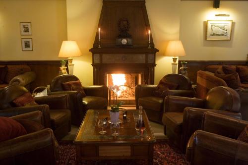
Bed and Breakfast : Chambres d'hôtes Chez Mariebel

Located in the centre of Ottonville, Chez Mariebel’ is 13 km from the A4 motorway and offers rooms with free Wi-Fi. Free activities for children are organized in the property’s ...
Prices : from 63.00 €
to 105.00 €
Contact : 15 rue Saint Paul 57220 Ottonville et Ricrange
Distance Bed and Breakfast - Tromborn : 6.36 km
|
|
|
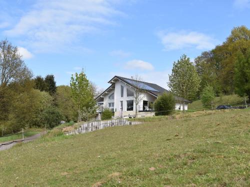
Guest accommodation : Maison de Vacances - Varsberg
Maison de Vacances - Varsberg is set in Varsberg and offers a garden. Complimentary WiFi is provided. This holiday home features a living room and a fully equipped kitchen with...
Contact : 57880 Varsberg
Distance Guest accommodation - Tromborn : 9.93 km
|
|
|
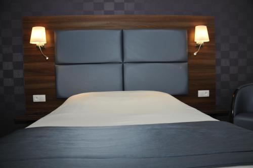
Hotel : Hotel The Originals Saint-Avold Nord Aster (ex Inter-Hotel)
This hotel is located in a quiet and green setting, on the edge of a lake. It offers spacious rooms with flat-screen TVs and free WiFi access. Guests rooms at Hotel The Origina...
Price : from 47.52 €
to 119.60 €
Address : 2 Impasse Beaurivage 57150 Creutzwald-la-Croix
Distance Hotel - Tromborn : 10.01 km
|
|
|
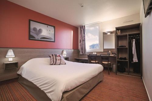
Hotel : Ace Hotel Creutzwald Saint Avold
Featuring free WiFi throughout the property, Ace Hotel Creutzwald Saint Avold offers pet-friendly accommodation in Creutzwald-la-Croix, 9 km from Saint Avold. Free private parki...
Prices : from 56.70 €
to 90.00 €
Contact : 80A Rue De Longeville 57150 Creutzwald-la-Croix
Distance Hotel - Tromborn : 10.75 km
|
|
|
Just 5 km from the A4 motorway, this hotel offers 2 on-site restaurants and a bar. It is a 5-minute drive from the centre of Saint-Avold and 10 km from the German border. The r...
Rate : from 45.00 €
to 115.00 €
Contact : Route de Haslach 57500 Saint-Avold
Distance Hotel - Tromborn : 14.23 km
|
|
|
Hotel : La Grange de Condé
Located in Condé-Northen, La Grange de Conde offers an outdoor swimming pool, hot tub, steam bath and a fitness centre. Metz is only a 25-minute drive from the hotel. Decorated...
Price : from 114.75 €
to 320.00 €
Contact : 41 Rue Des Deux-Nieds 57220 Condé-Northen
Distance Hotel - Tromborn : 16.08 km
|
|
|
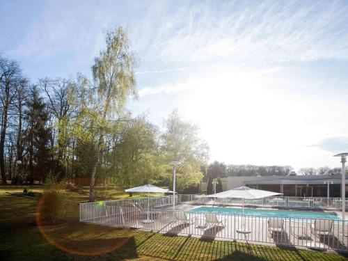
Hotel : Novotel Saint Avold
Novotel Saint Avold is near the Saint-Avold forest, 2 km from the city centre and a 5-minute drive from the business district. It offers free Wi-Fi, an outdoor seasonal swimming...
Prices : from 67.00 €
to 316.00 €
Address : Avenue de Fayetteville 57500 Saint-Avold
Distance Hotel - Tromborn : 16.90 km
|
|
|
Apartment : Le canyon
Situated in Freyming, Le canyon provides accommodation with a terrace and free WiFi. Guests staying at this apartment have access to a fully equipped kitchen. The apartment inc...
Rate : from 35.00 €
to 95.00 €
Contact : 3 Rue de Peyerimohff 57800 Freyming
Distance Apartment - Tromborn : 17.02 km
|
|
Find another hotel near Tromborn : Tromborn hotels list
|
Map of Tromborn
|
|
Map of Tromborn :
At right you can find the localization of Tromborn on the map of France. Below, this is the satellite map of Tromborn. A road map, and maps templates of Tromborn are available here : "road map of Tromborn". This map show Tromborn seen by the satellite of Google Map. To see the streets of Tromborn or move on another zone, use the buttons "zoom" and "map" on top of this dynamic map.
Search on the map of Tromborn :
To search hotels, housings, tourist information office, administrations or other services, use the Google search integrated to the map on the following page : "map Tromborn".
Hotels of Tromborn are listed on the map with the following icons: 
The map of Tromborn is centred in the following coordinates :
|

|
|
|
|
Print the map of Tromborn

Print the map of Tromborn : map of Tromborn
|
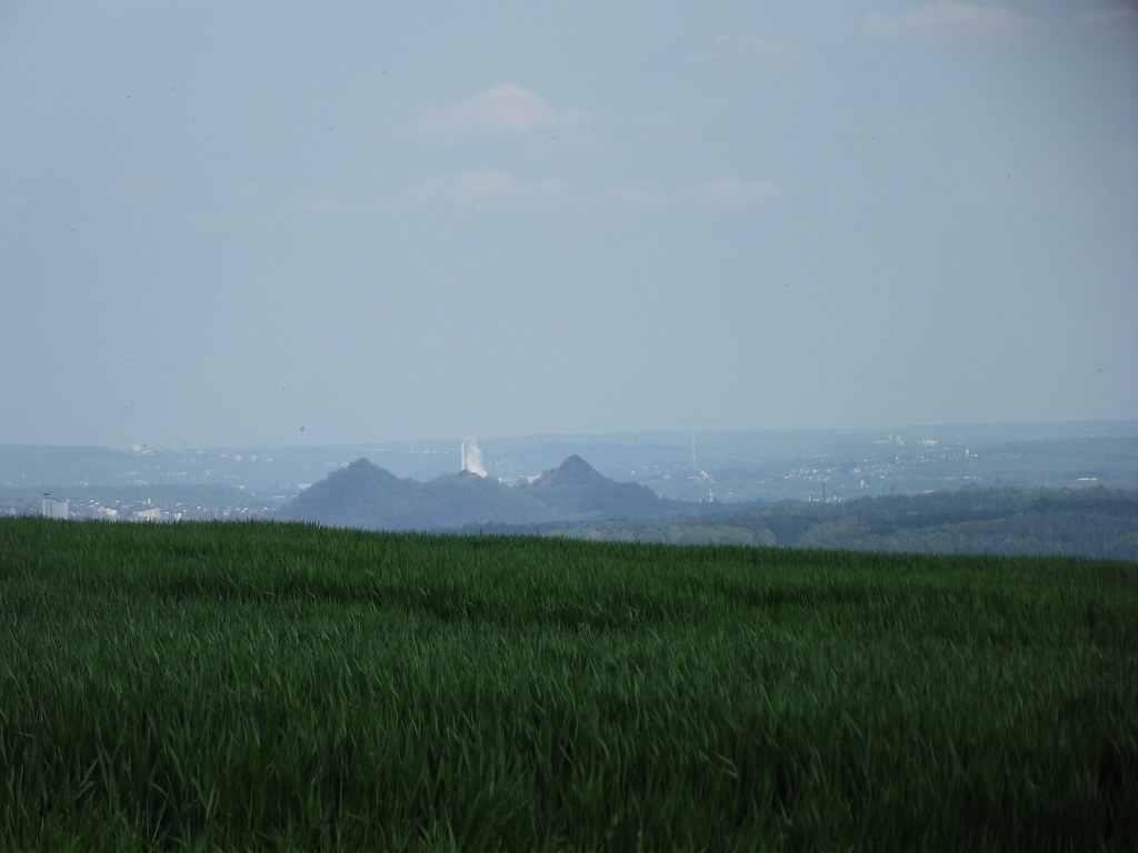
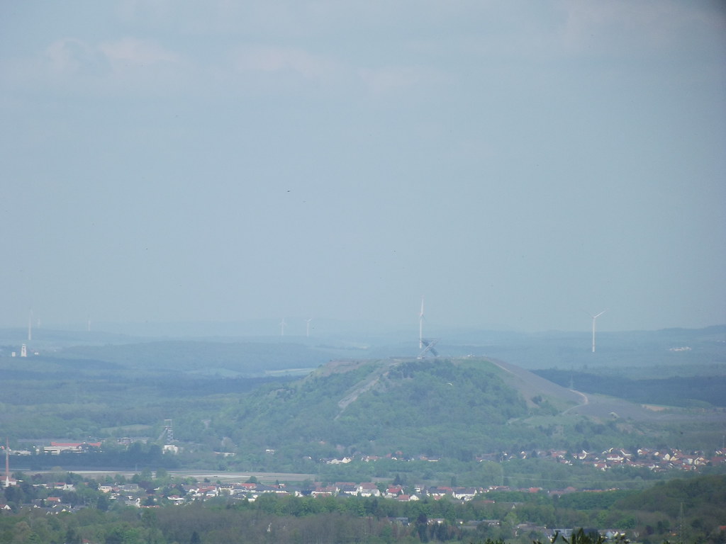
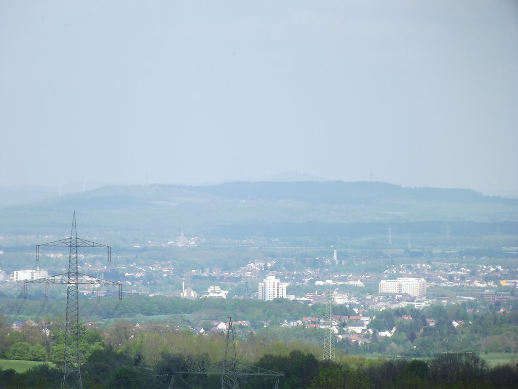
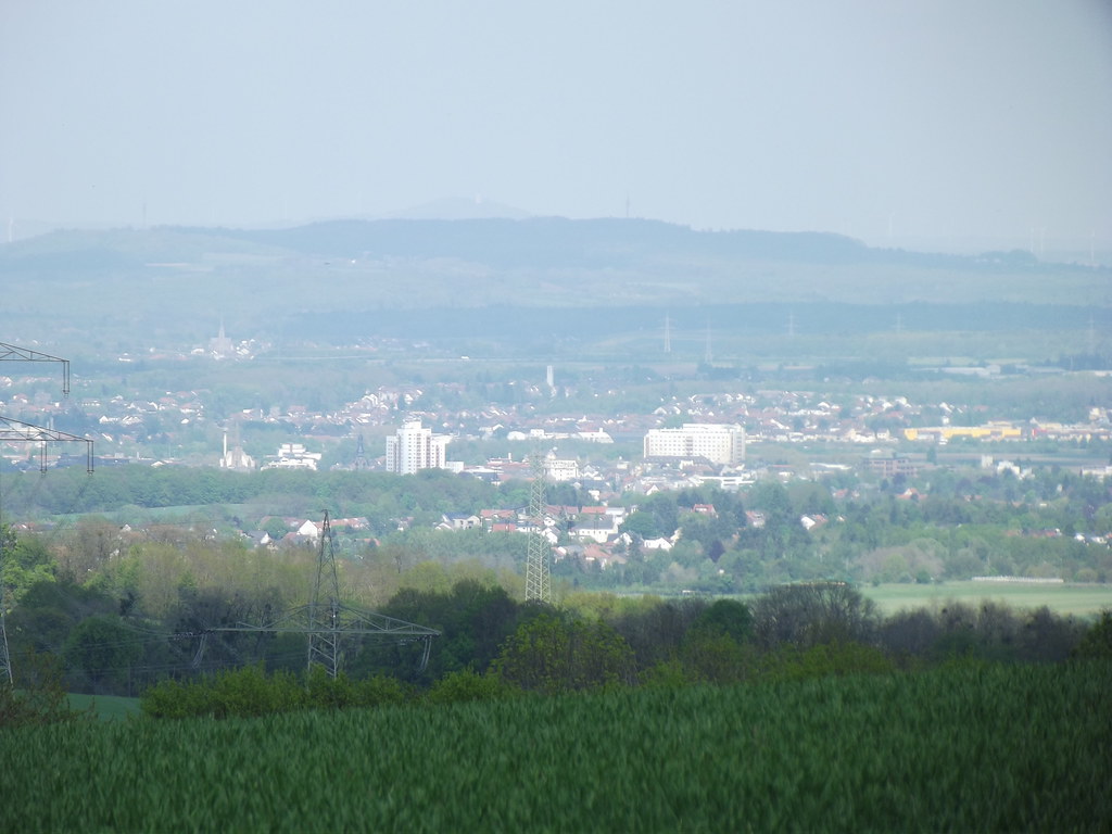
Photos Tromborn
|
See all photos of Tromborn :
Other photos of Tromborn and nearby towns can be found here: photos Tromborn
|
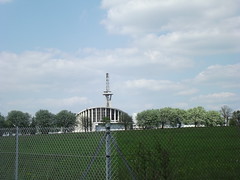
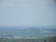
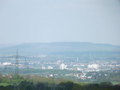
These photos taken near the town of Tromborn can be shown in full screen clicking on the thumbnails. Photos are copyrighted by their owners.
| | |
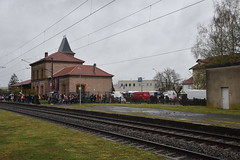
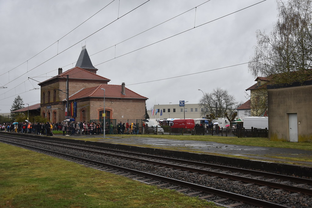
Bahnhof Bouzonville, 29.03.2023
|
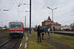
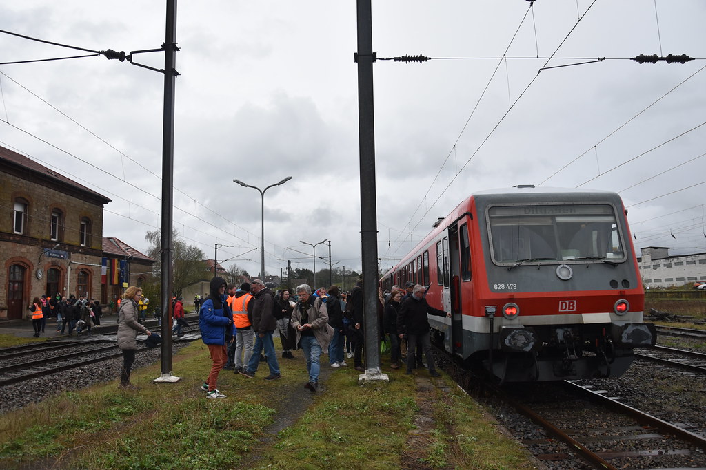
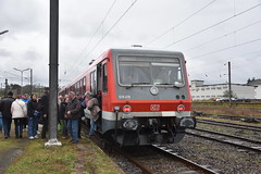
628 477, Bouzonville, 29.03.2024, RB 77 (12792)
|
| |
628 479, Bouzonville, 29.03.2024, RB 77 (12792)
|
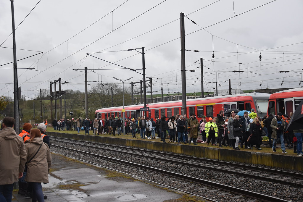
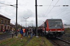
628 477, Bouzonville, 29.03.2024, RB 77 (12792)
|
| |
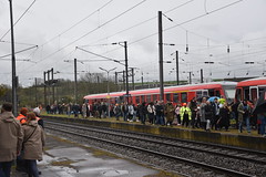
628 479, Bouzonville, 29.03.2024, RB 77 (12792)
|
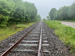
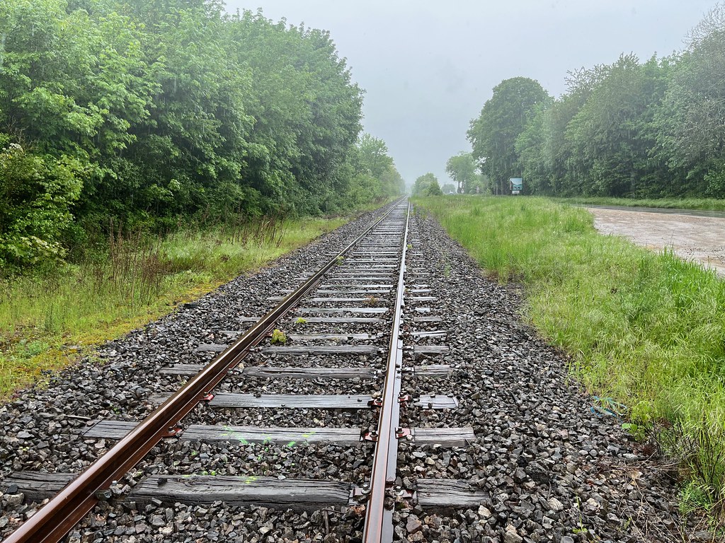
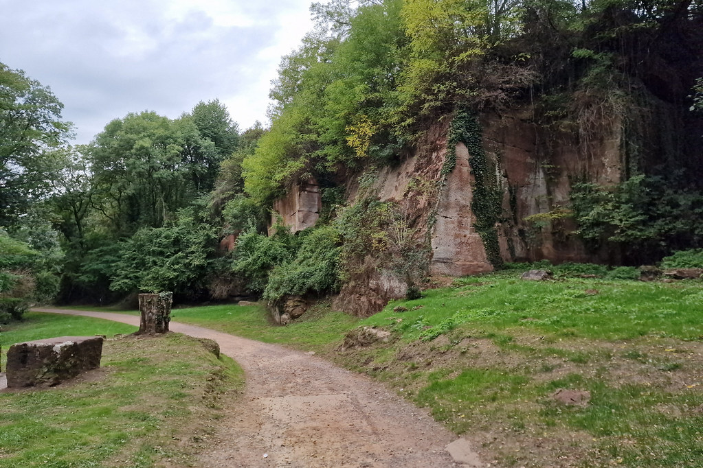
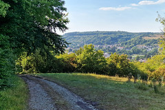
Track at Guerstling
|
| |
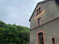
Guerstling border station
|
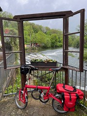
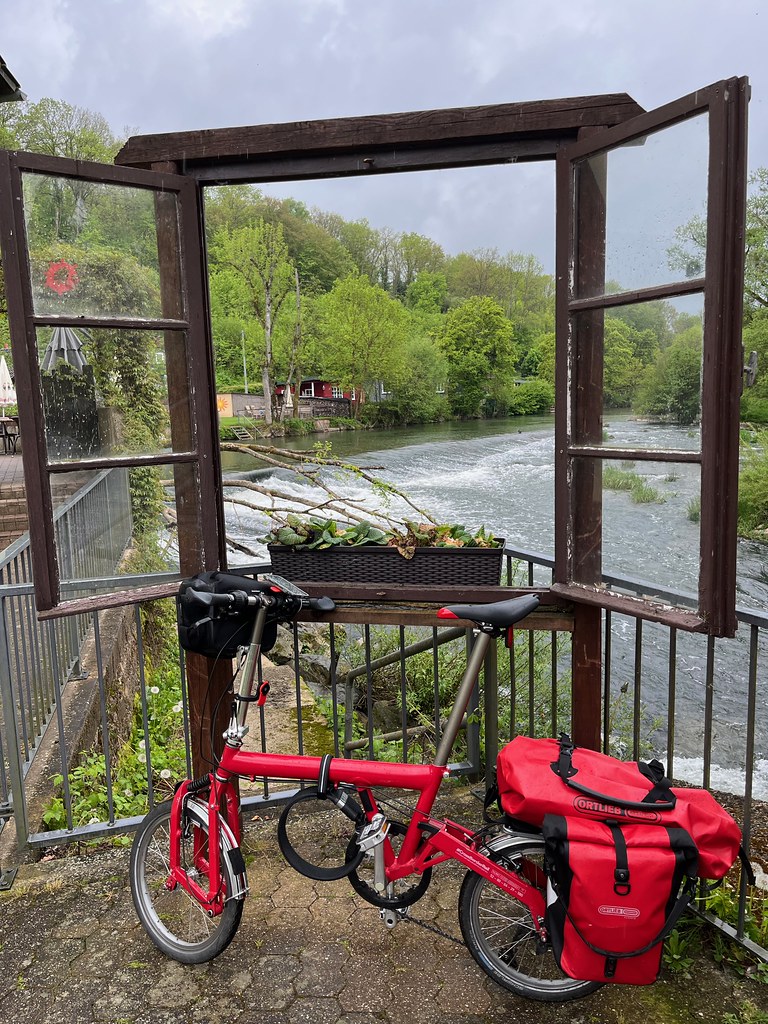
Birdy by the river
|
| |

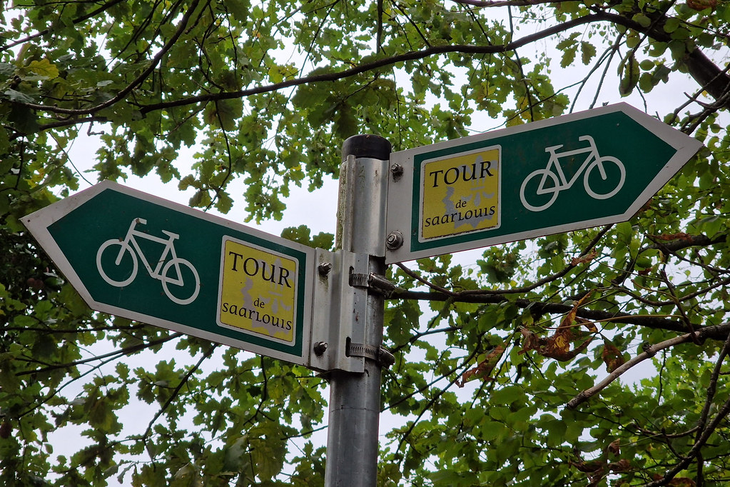
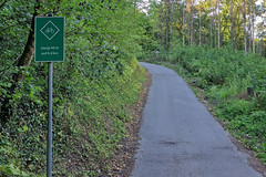
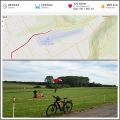
Bike route near Saarlouis
|

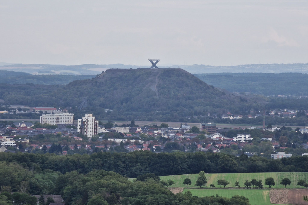
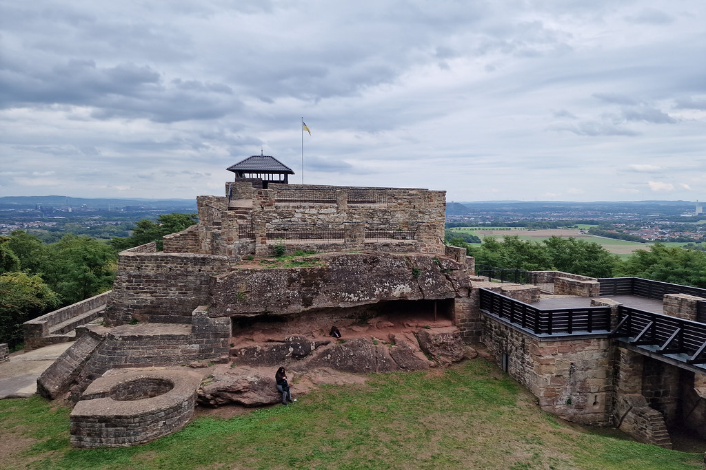
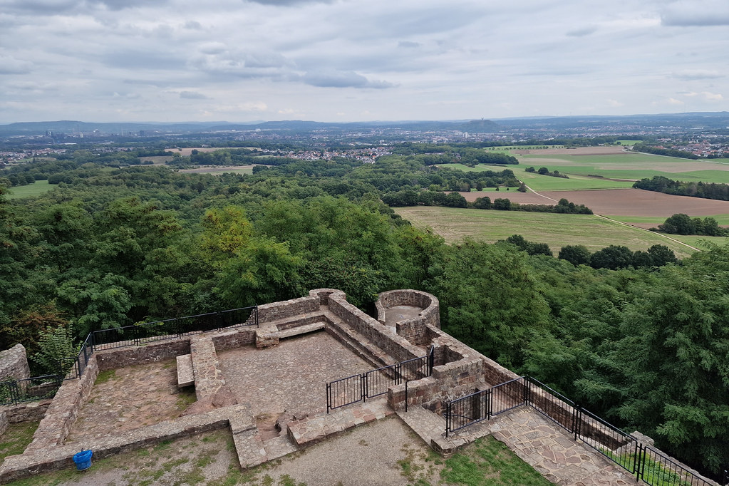
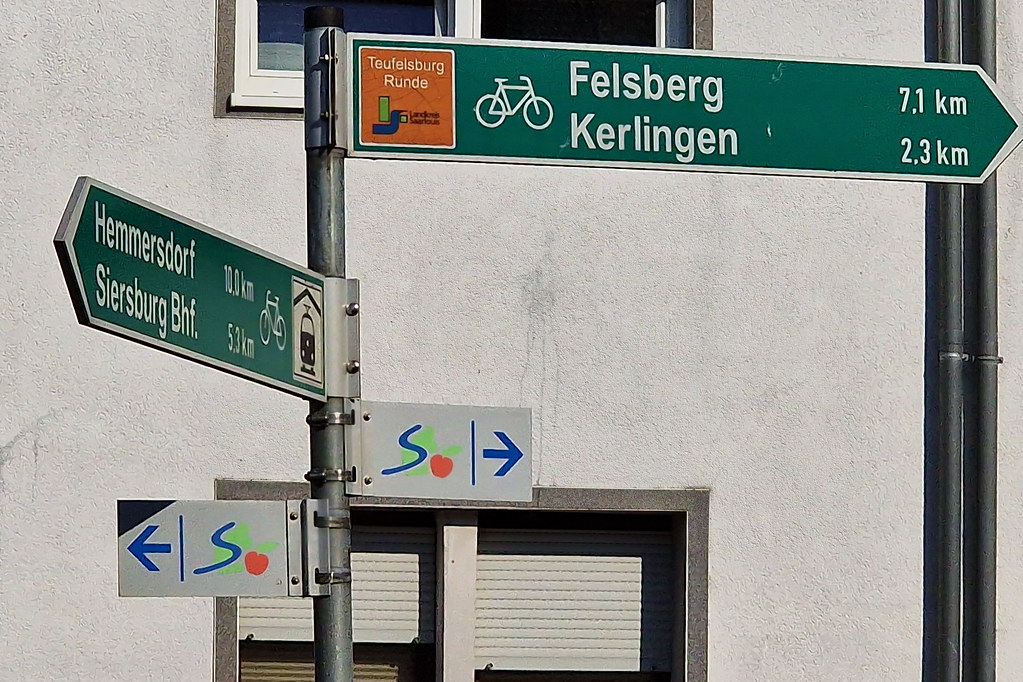
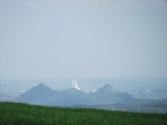
View to Saarlouis from Teufelsburg
|
| |
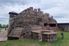
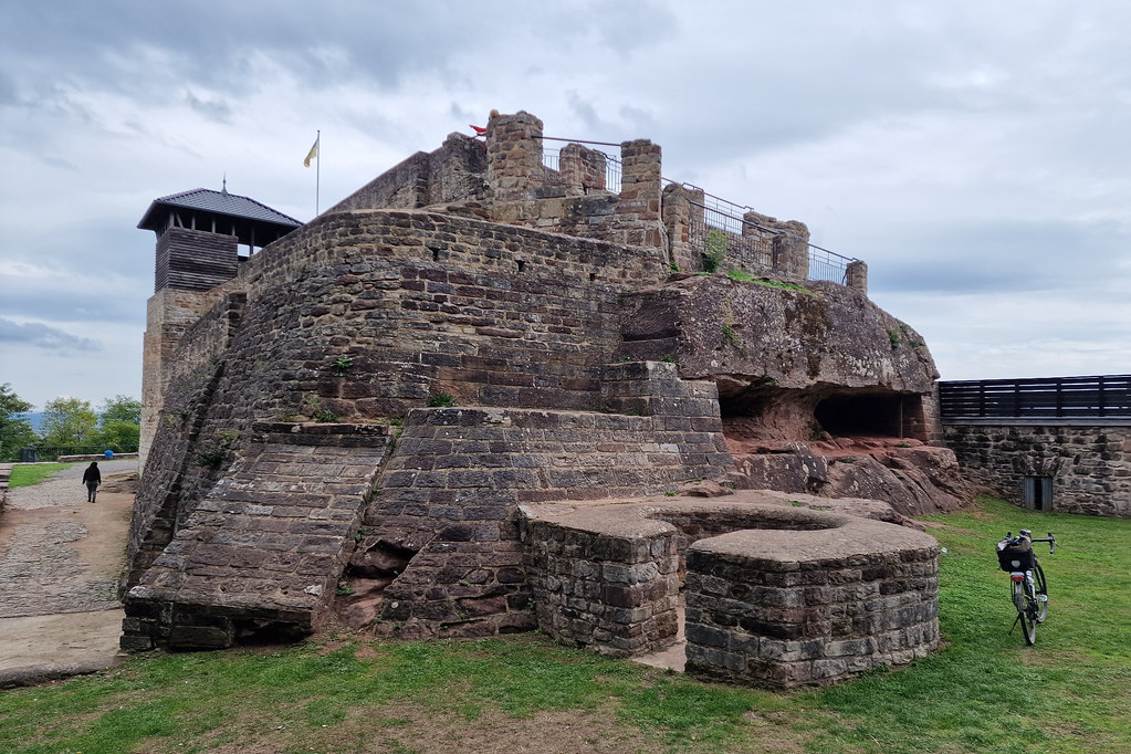
Teufelsburg
|
Track near Teufelsburg
|
| |
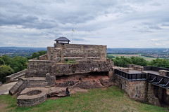
Teufelsburg
|

Tour de Saarlouis
|
| |

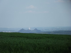
View from Teufelsburg
|
Teufelsburg Runde bike route
|
| |
Track near Hemmersdorf
|
Climb
|
| |
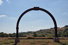
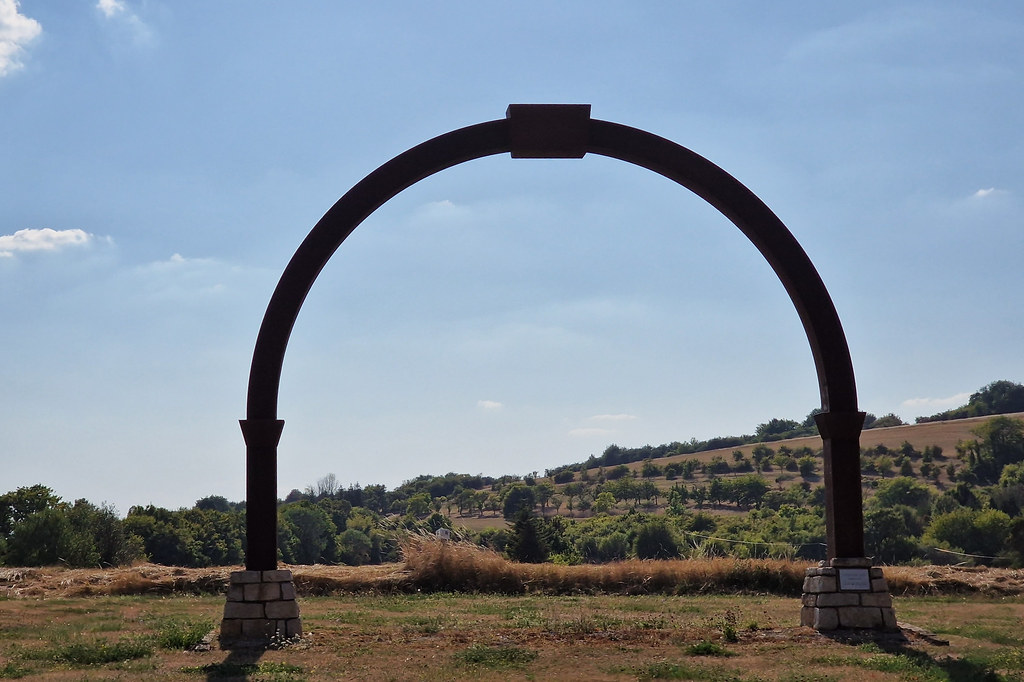
Arch
|
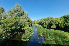
Nied river
|
| |
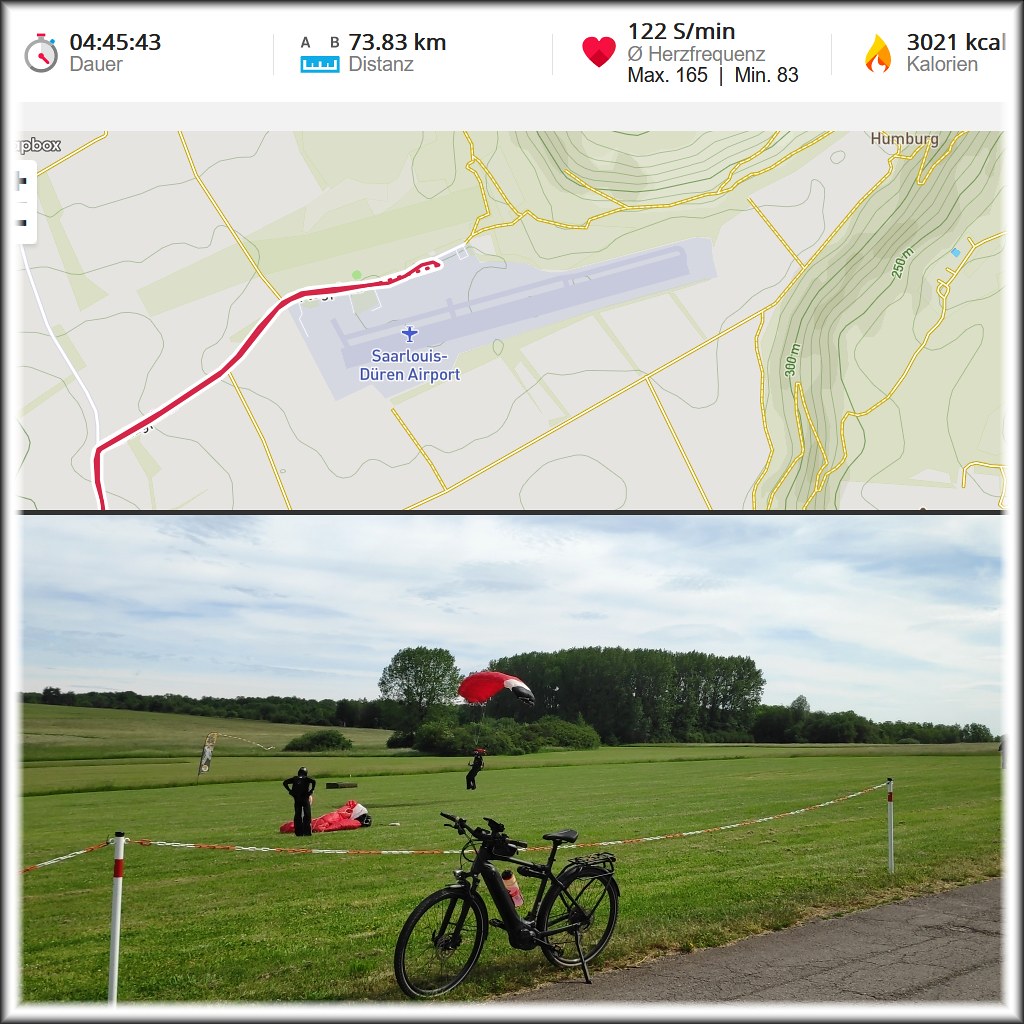
Tour_12-06-2021_plus_Info_1024x1024px_EDRJ_Jumpers
|
201905_0144
|
| |
201905_0145
|
201905_0146
|
| |
201905_0147
|
201905_0162
|
| |
201905_0164
|

201905_0165
|
| |

201905_0166
|
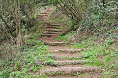
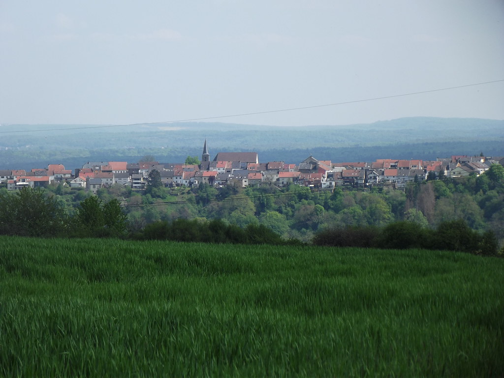
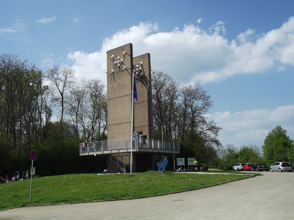
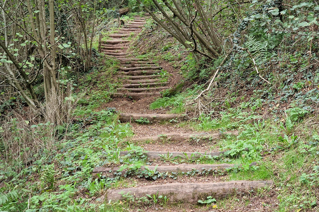
Steps
|
|
Tromborn weather forecast
Find next hours and 7 days weather forecast for Tromborn here : weather Tromborn (with english metrics)
This is the last weather forecast for Tromborn collected by the nearest observation station of Bouzonville.
Week Forecast:
The latest weather data for Tromborn were collected Tuesday, 23 April 2024 at 17:00 from the nearest observation station of Bouzonville.
| Tuesday, April 23rd |
10°C -1°C
0%
59%
|
Partly cloudy
Temperature Max: 10°C Temperature Min: -1°C
Precipitation Probability: 0%
Percentage of sky occluded by clouds: 59%
Wind speed: 10 km/h South
Humidity: 57%° UV Index: 3
Sunrise: 06:26 Sunset: 20:39 |
|
| | Wednesday, April 24th |
8°C 1°C
47%
87%
|
Drizzle
Temperature Max: 8°C Temperature Min: 1°C
Precipitation Probability: 47% (Rain)
Percentage of sky occluded by clouds: 87%
Wind speed: 16 km/h South-East
Humidity: 74%° UV Index: 3
Sunrise: 06:24 Sunset: 20:40 |
|
| | Thursday, April 25th |
8°C 1°C
25%
89%
|
Mostly cloudy
Temperature Max: 8°C Temperature Min: 1°C
Precipitation Probability: 25% (Rain)
Percentage of sky occluded by clouds: 89%
Wind speed: 14 km/h East
Humidity: 70%° UV Index: 3
Sunrise: 06:22 Sunset: 20:42 |
|
| | Friday, April 26th |
13°C 2°C
24%
86%
|
Mostly cloudy
Temperature Max: 13°C Temperature Min: 2°C
Precipitation Probability: 24% (Rain)
Percentage of sky occluded by clouds: 86%
Wind speed: 10 km/h North
Humidity: 69%° UV Index: 3
Sunrise: 06:20 Sunset: 20:43 |
|
|
Attribution: 
|
|
Other maps, hotels and towns in france
Find another town, zip code, department, region, ...
Quick links Tromborn :
Make a link to this page of Tromborn with the following code :
|
|
|
 French Version : http://www.cartesfrance.fr/carte-france-ville/57681_Tromborn.html