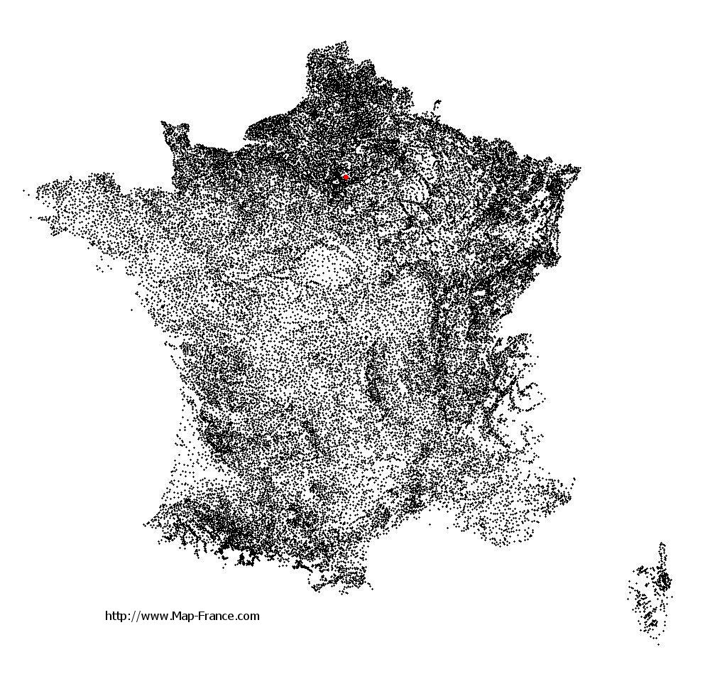
Vaujours on the relief France map in Lambert 93 coordinates
|
See the map of Vaujours in full screen (1000 x 949)
|
At left, here is the location of Vaujours on the relief France map in Lambert 93 coordinates.
Here are the altitudes of Vaujours :
- Town hall altitude of Vaujours is 100 meters
- Minimum altitude of Vaujours is 61 meters
- Maximum altitude of Vaujours is 127 meters
- Medium altitude of Vaujours is 94 meters
Here are the altitudes of Bobigny, prefecture of Seine-Saint-Denis department:
- Town hall altitude of Bobigny is 50 meters
- Minimum altitude of Bobigny is 39 meters
- Maximum altitude of Bobigny is 57 meters
- Medium altitude of Bobigny is 48 meters
Here are the altitudes of the french biggest cities:
Paris : 33 meters
Marseille : 20 meters
Lyon : 237 meters
Toulouse : 146 meters
Nice : 10 meters
Nantes : 20 meters
Strasbourg : 144 meters
Montpellier : 35 meters
Bordeaux : 16 meters
Lille : 20 meters
Rennes : 35 meters
Reims : 83 meters
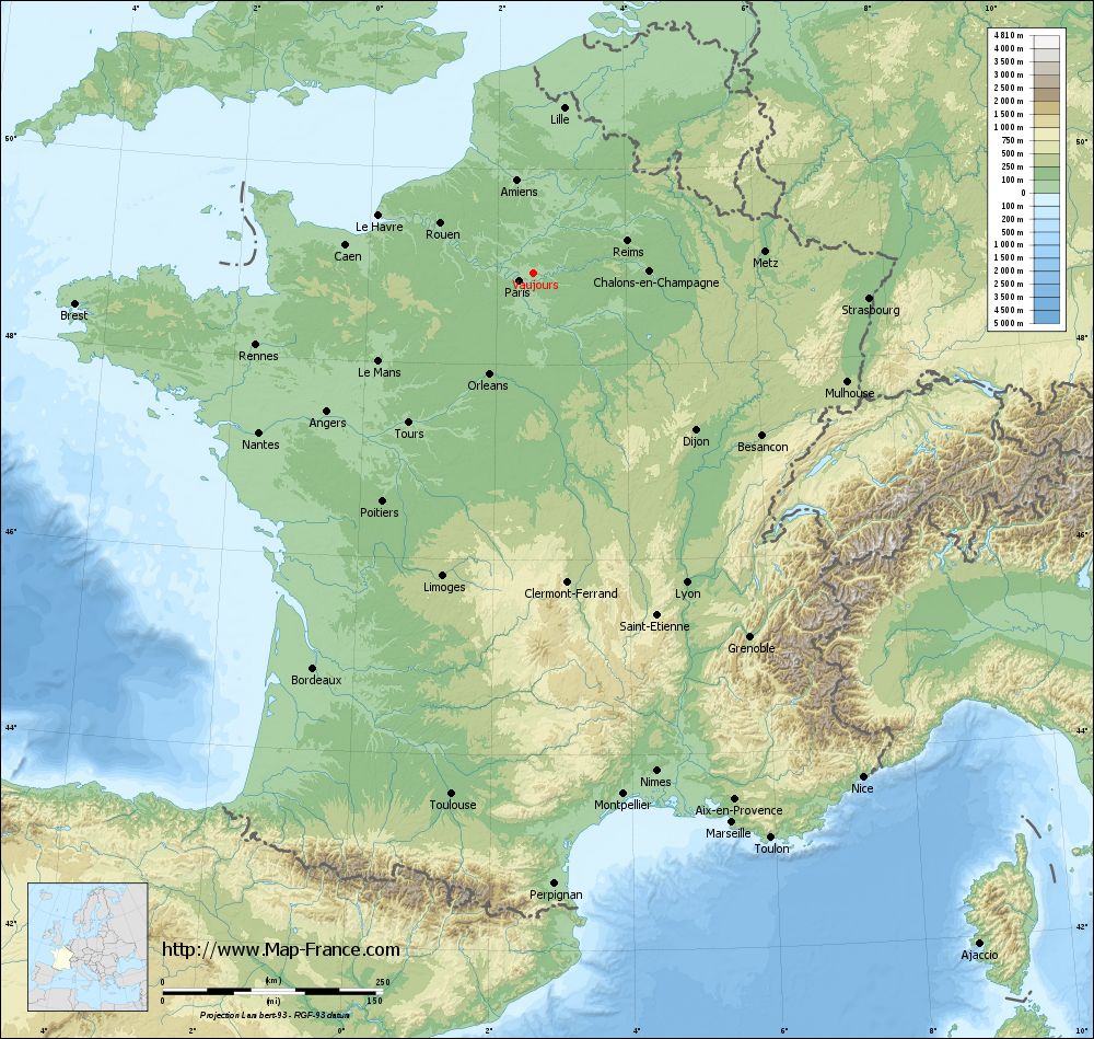
Click here for the terrain map of Vaujours in full screen:
Relief map of Vaujours
|
This relief map of Vaujours is reusable and modifiable by making a link to this page of the Map-France.com website or by using the given code :
|
Terrain base map of Vaujours
|

See the terrain base map of Vaujours in full screen (1000 x 949)
|
Small relief base map of Vaujours

|
This base map of Vaujours is reusable and modifiable by making a link to this page of the Map-France.com website or by using the given code :
|
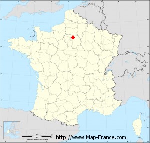
Map of Vaujours with regions and prefectures
|
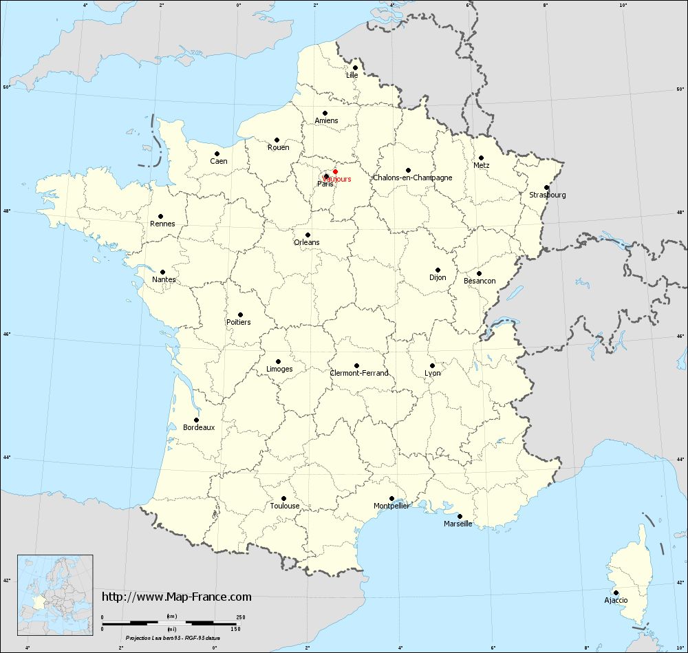
View the map of Vaujours in full screen (1000 x 949)
|
You will find the location of Vaujours on the map of France of regions in Lambert 93 coordinates. The city of Vaujours is located in the department of Seine-Saint-Denis of the french region Île-de-France.
Geographical sexagesimal coordinates / GPS (WGS84):
Latitude: 48° 56' 02'' North
Longitude: 02° 34' 19'' East
Geographical decimal coordinates :
Latitude: 48.932 degrees (48.932° North)
Longitude: 2.569 degrees (2.569° East)
Lambert 93 coordinates :
X: 6 686 hectometers
Y: 68 705 hectometers
Lambert 2 coordinates :
X: 6 173 hectometers
Y: 24 373 hectometers
Below, the geographical coordinates of Bobigny, prefecture of the Seine-Saint-Denis department:
Geographical sexagesimal coordinates / GPS (WGS84):
Latitude: 48° 54' 35'' North
Longitude: 02° 26' 19'' East
Geographical decimal coordinates :
Latitude: 48.908 degrees (48.908° North)
Longitude: 2.442 degrees (2.442° East)
Lambert 93 coordinates :
X: 6 589 hectometers
Y: 68 679 hectometers
Lambert 2 coordinates :
X: 6 075 hectometers
Y: 24 346 hectometers
|
This map of Vaujours is reusable and modifiable by making a link to this page of the Map-France.com website or by using the given code :
|
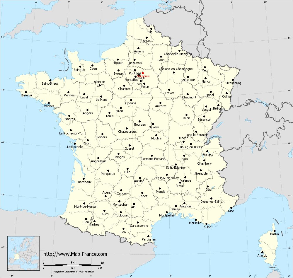
Map of Vaujours with departments and prefectures
|
Voir la carte of Vaujours en grand format (1000 x 949)
|
Here is the localization of Vaujours on the France map of departments in Lambert 93 coordinates. The city of Vaujours is shown on the map by a red point.
The city of Vaujours is located in the department of Seine-Saint-Denis of the french region Île-de-France.
The latitude of Vaujours is 48.932 degrees North.
The longitude of Vaujours is 2.569 degrees East.
Here the distance between Vaujours and the biggest cities of France:
Distances are calculated as the crow flies (orthodromic distance)
Distance between Vaujours and Paris : 18.11 kilometers
Distance between Vaujours and Marseille : 662.78 kilometers
Distance between Vaujours and Lyon : 391.51 kilometers
Distance between Vaujours and Toulouse : 598.59 kilometers
Distance between Vaujours and Nice : 682.94 kilometers
Distance between Vaujours and Nantes : 360.32 kilometers
Distance between Vaujours and Strasbourg : 381.80 kilometers
Distance between Vaujours and Montpellier : 599.84 kilometers
Distance between Vaujours and Bordeaux : 513.10 kilometers
Distance between Vaujours and Lille : 191.51 kilometers
Distance between Vaujours and Rennes : 325.79 kilometers
Distance between Vaujours and Reims : 112.40 kilometers
Clic here to see the map of Vaujours in full screen:
Vaujours on the map of french departments
|
This administrative map of Vaujours is reusable and modifiable by making a link to this page of the Map-France.com website or by using the given code :
|
Administrative base maps of Vaujours
|

See the administrative base map of Vaujours in full screen (1000 x 949)
|
Small administrative base map of Vaujours
|
This base map administrative of Vaujours is reusable and modifiable by making a link to this page of the Map-France.com website or by using the given code :
|
 French Version : http://www.cartesfrance.fr