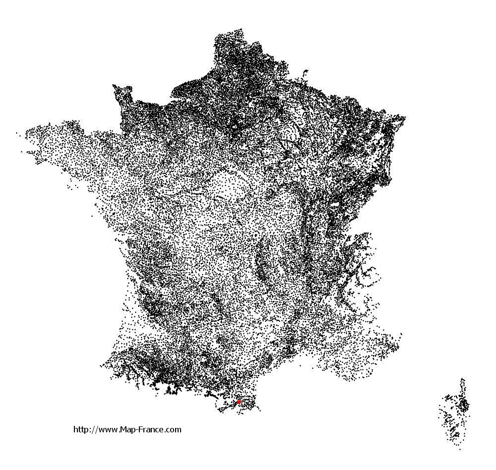
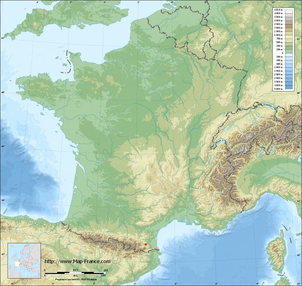
Vinça on the relief France map in Lambert 93 coordinates
|

See the map of Vinça in full screen (1000 x 949)
|
At left, here is the location of Vinça on the relief France map in Lambert 93 coordinates.
Here are the altitudes of Vinça :
- Town hall altitude of Vinça is 260 meters
- Minimum altitude of Vinça is 199 meters
- Maximum altitude of Vinça is 364 meters
- Medium altitude of Vinça is 282 meters
Here are the altitudes of Perpignan, prefecture of Pyrénées-Orientales department:
- Town hall altitude of Perpignan is 40 meters
- Minimum altitude of Perpignan is 8 meters
- Maximum altitude of Perpignan is 95 meters
- Medium altitude of Perpignan is 52 meters
Here are the altitudes of the french biggest cities:
Paris : 33 meters
Marseille : 20 meters
Lyon : 237 meters
Toulouse : 146 meters
Nice : 10 meters
Nantes : 20 meters
Strasbourg : 144 meters
Montpellier : 35 meters
Bordeaux : 16 meters
Lille : 20 meters
Rennes : 35 meters
Reims : 83 meters
Click here for the terrain map of Vinça in full screen:
Relief map of Vinça
|
This relief map of Vinça is reusable and modifiable by making a link to this page of the Map-France.com website or by using the given code :
|
Terrain base map of Vinça
|
See the terrain base map of Vinça in full screen (1000 x 949)
|
Small relief base map of Vinça

|
This base map of Vinça is reusable and modifiable by making a link to this page of the Map-France.com website or by using the given code :
|
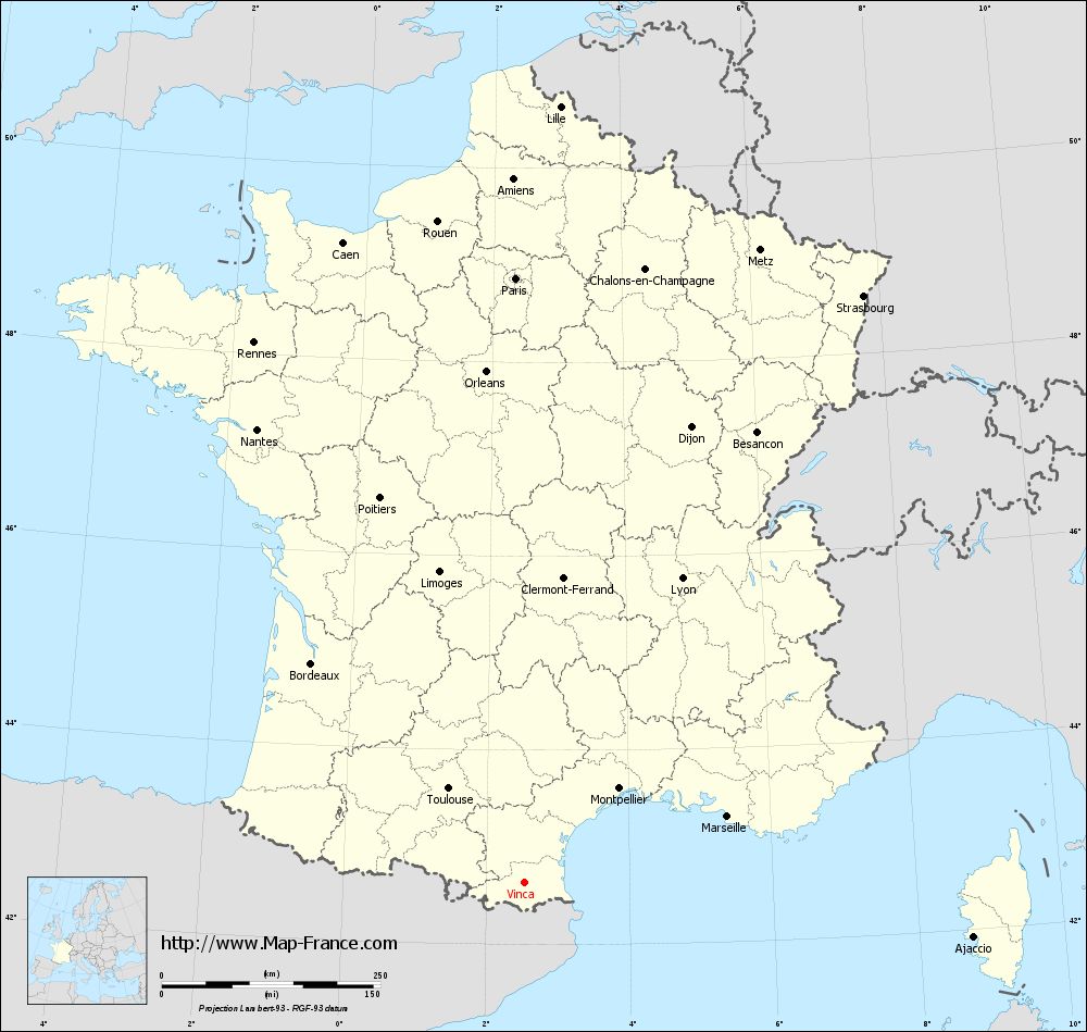
Map of Vinça with regions and prefectures
|
View the map of Vinça in full screen (1000 x 949)
|
You will find the location of Vinça on the map of France of regions in Lambert 93 coordinates. The town of Vinça is located in the department of Pyrénées-Orientales of the french region Languedoc-Roussillon.
Geographical sexagesimal coordinates / GPS (WGS84):
Latitude: 42° 38' 42'' North
Longitude: 02° 31' 43'' East
Geographical decimal coordinates :
Latitude: 42.645 degrees (42.645° North)
Longitude: 2.528 degrees (2.528° East)
Lambert 93 coordinates :
X: 6 613 hectometers
Y: 61 718 hectometers
Lambert 2 coordinates :
X: 6 158 hectometers
Y: 17 380 hectometers
Below, the geographical coordinates of Perpignan, prefecture of the Pyrénées-Orientales department:
Geographical sexagesimal coordinates / GPS (WGS84):
Latitude: 42° 41' 51'' North
Longitude: 02° 53' 41'' East
Geographical decimal coordinates :
Latitude: 42.698 degrees (42.698° North)
Longitude: 2.893 degrees (2.893° East)
Lambert 93 coordinates :
X: 6 914 hectometers
Y: 61 776 hectometers
Lambert 2 coordinates :
X: 6 459 hectometers
Y: 17 440 hectometers
|
This map of Vinça is reusable and modifiable by making a link to this page of the Map-France.com website or by using the given code :
|
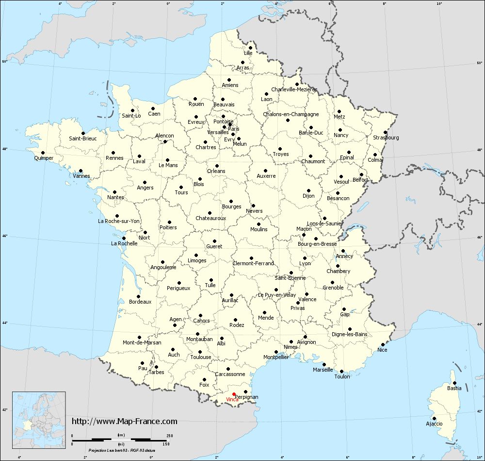
Map of Vinça with departments and prefectures
|
Voir la carte of Vinça en grand format (1000 x 949)
|
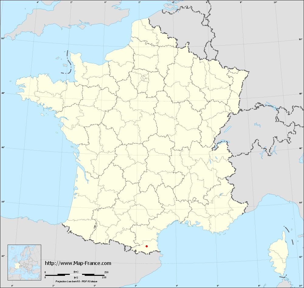
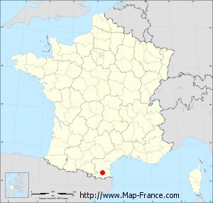
Here is the localization of Vinça on the France map of departments in Lambert 93 coordinates. The city of Vinça is shown on the map by a red point.
The town of Vinça is located in the department of Pyrénées-Orientales of the french region Languedoc-Roussillon.
The latitude of Vinça is 42.645 degrees North.
The longitude of Vinça is 2.528 degrees East.
Here the distance between Vinça and the biggest cities of France:
Distances are calculated as the crow flies (orthodromic distance)
Distance between Vinça and Paris : 690.73 kilometers
Distance between Vinça and Marseille : 244.43 kilometers
Distance between Vinça and Lyon : 391.76 kilometers
Distance between Vinça and Toulouse : 137.43 kilometers
Distance between Vinça and Nice : 401.24 kilometers
Distance between Vinça and Nantes : 600.91 kilometers
Distance between Vinça and Strasbourg : 774.51 kilometers
Distance between Vinça and Montpellier : 152.91 kilometers
Distance between Vinça and Bordeaux : 348.74 kilometers
Distance between Vinça and Lille : 887.81 kilometers
Distance between Vinça and Rennes : 689.82 kilometers
Distance between Vinça and Reims : 743.81 kilometers
Clic here to see the map of Vinça in full screen:
Vinça on the map of french departments
|
This administrative map of Vinça is reusable and modifiable by making a link to this page of the Map-France.com website or by using the given code :
|
Administrative base maps of Vinça
|
See the administrative base map of Vinça in full screen (1000 x 949)
|
Small administrative base map of Vinça
|
This base map administrative of Vinça is reusable and modifiable by making a link to this page of the Map-France.com website or by using the given code :
|
 French Version : http://www.cartesfrance.fr