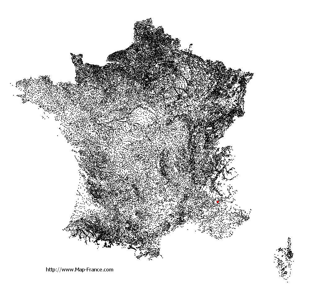
Vitrolles on the relief France map in Lambert 93 coordinates
|

See the map of Vitrolles in full screen (1000 x 949)
|
At left, here is the location of Vitrolles on the relief France map in Lambert 93 coordinates.
Here are the altitudes of Vitrolles :
- Town hall altitude of Vitrolles is 760 meters
- Minimum altitude of Vitrolles is 545 meters
- Maximum altitude of Vitrolles is 1 455 meters
- Medium altitude of Vitrolles is 1 000 meters
Here are the altitudes of Gap, prefecture of Hautes-Alpes department:
- Town hall altitude of Gap is 767 meters
- Minimum altitude of Gap is 625 meters
- Maximum altitude of Gap is 2 360 meters
- Medium altitude of Gap is 1 493 meters
Here are the altitudes of the french biggest cities:
Paris : 33 meters
Marseille : 20 meters
Lyon : 237 meters
Toulouse : 146 meters
Nice : 10 meters
Nantes : 20 meters
Strasbourg : 144 meters
Montpellier : 35 meters
Bordeaux : 16 meters
Lille : 20 meters
Rennes : 35 meters
Reims : 83 meters
Click here for the terrain map of Vitrolles in full screen:
Relief map of Vitrolles
|
This relief map of Vitrolles is reusable and modifiable by making a link to this page of the Map-France.com website or by using the given code :
|
Terrain base map of Vitrolles
|

See the terrain base map of Vitrolles in full screen (1000 x 949)
|
Small relief base map of Vitrolles

|
This base map of Vitrolles is reusable and modifiable by making a link to this page of the Map-France.com website or by using the given code :
|
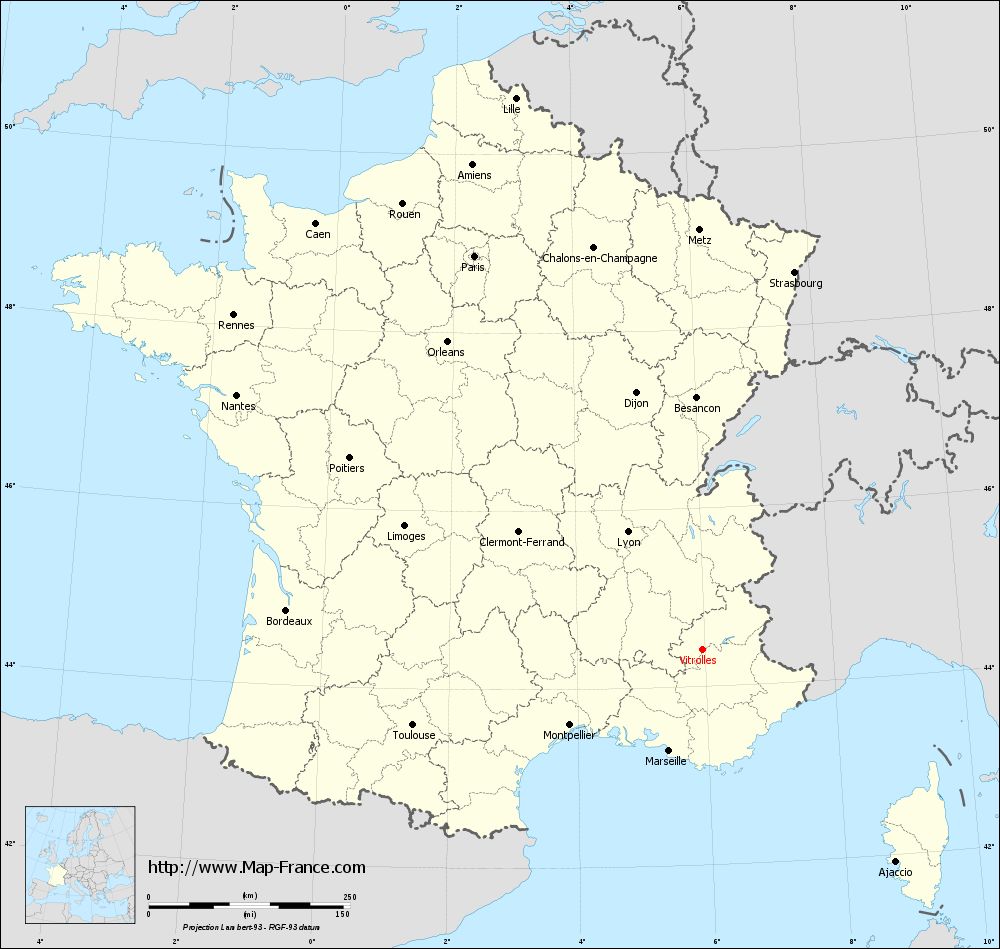
Map of Vitrolles with regions and prefectures
|
View the map of Vitrolles in full screen (1000 x 949)
|
You will find the location of Vitrolles on the map of France of regions in Lambert 93 coordinates. The town of Vitrolles is located in the department of Hautes-Alpes of the french region Provence-Alpes-Côte d'Azur.
Geographical sexagesimal coordinates / GPS (WGS84):
Latitude: 44° 24' 44'' North
Longitude: 05° 57' 15'' East
Geographical decimal coordinates :
Latitude: 44.437 degrees (44.437° North)
Longitude: 5.949 degrees (5.949° East)
Lambert 93 coordinates :
X: 9 352 hectometers
Y: 63 725 hectometers
Lambert 2 coordinates :
X: 8 882 hectometers
Y: 19 412 hectometers
Below, the geographical coordinates of Gap, prefecture of the Hautes-Alpes department:
Geographical sexagesimal coordinates / GPS (WGS84):
Latitude: 44° 33' 31'' North
Longitude: 06° 04' 40'' East
Geographical decimal coordinates :
Latitude: 44.558 degrees (44.558° North)
Longitude: 6.077 degrees (6.077° East)
Lambert 93 coordinates :
X: 9 444 hectometers
Y: 63 891 hectometers
Lambert 2 coordinates :
X: 8 973 hectometers
Y: 19 579 hectometers
|
This map of Vitrolles is reusable and modifiable by making a link to this page of the Map-France.com website or by using the given code :
|
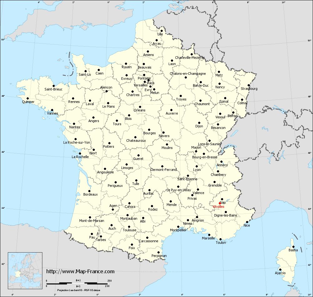
Map of Vitrolles with departments and prefectures
|
Voir la carte of Vitrolles en grand format (1000 x 949)
|
Here is the localization of Vitrolles on the France map of departments in Lambert 93 coordinates. The city of Vitrolles is shown on the map by a red point.
The town of Vitrolles is located in the department of Hautes-Alpes of the french region Provence-Alpes-Côte d'Azur.
The latitude of Vitrolles is 44.437 degrees North.
The longitude of Vitrolles is 5.949 degrees East.
Here the distance between Vitrolles and the biggest cities of France:
Distances are calculated as the crow flies (orthodromic distance)
Distance between Vitrolles and Paris : 563.02 kilometers
Distance between Vitrolles and Marseille : 134.01 kilometers
Distance between Vitrolles and Lyon : 171.03 kilometers
Distance between Vitrolles and Toulouse : 371.25 kilometers
Distance between Vitrolles and Nice : 132.55 kilometers
Distance between Vitrolles and Nantes : 657.66 kilometers
Distance between Vitrolles and Strasbourg : 481.06 kilometers
Distance between Vitrolles and Montpellier : 189.59 kilometers
Distance between Vitrolles and Bordeaux : 517.63 kilometers
Distance between Vitrolles and Lille : 721.44 kilometers
Distance between Vitrolles and Rennes : 713.42 kilometers
Distance between Vitrolles and Reims : 555.11 kilometers
Clic here to see the map of Vitrolles in full screen:
Vitrolles on the map of french departments
|
This administrative map of Vitrolles is reusable and modifiable by making a link to this page of the Map-France.com website or by using the given code :
|
Administrative base maps of Vitrolles
|
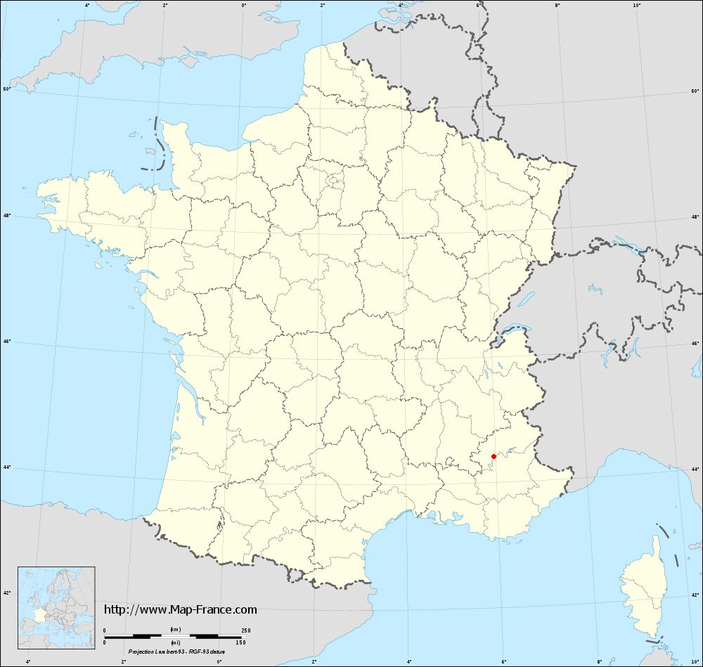
See the administrative base map of Vitrolles in full screen (1000 x 949)
|
Small administrative base map of Vitrolles
|
This base map administrative of Vitrolles is reusable and modifiable by making a link to this page of the Map-France.com website or by using the given code :
|
 French Version : http://www.cartesfrance.fr