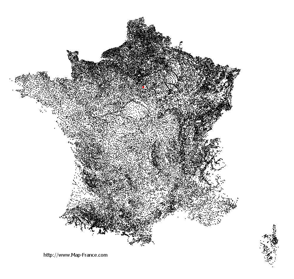
Arbonne-la-Forêt on the relief France map in Lambert 93 coordinates
|
See the map of Arbonne-la-Forêt in full screen (1000 x 949)
|
At left, here is the location of Arbonne-la-Forêt on the relief France map in Lambert 93 coordinates.
Here are the altitudes of Arbonne-la-Forêt :
- Town hall altitude of Arbonne-la-Forêt is 73 meters
- Minimum altitude of Arbonne-la-Forêt is 64 meters
- Maximum altitude of Arbonne-la-Forêt is 129 meters
- Medium altitude of Arbonne-la-Forêt is 97 meters
Here are the altitudes of Melun, prefecture of Seine-et-Marne department:
- Town hall altitude of Melun is 50 meters
- Minimum altitude of Melun is 37 meters
- Maximum altitude of Melun is 102 meters
- Medium altitude of Melun is 70 meters
Here are the altitudes of the french biggest cities:
Paris : 33 meters
Marseille : 20 meters
Lyon : 237 meters
Toulouse : 146 meters
Nice : 10 meters
Nantes : 20 meters
Strasbourg : 144 meters
Montpellier : 35 meters
Bordeaux : 16 meters
Lille : 20 meters
Rennes : 35 meters
Reims : 83 meters
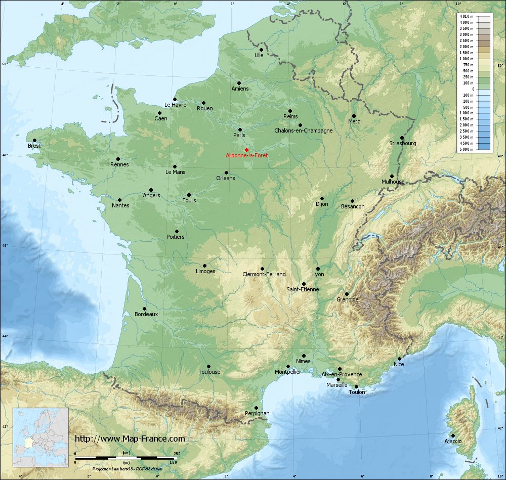
Click here for the terrain map of Arbonne-la-Forêt in full screen:
Relief map of Arbonne-la-Forêt
|
This relief map of Arbonne-la-Forêt is reusable and modifiable by making a link to this page of the Map-France.com website or by using the given code :
|
Terrain base map of Arbonne-la-Forêt
|

See the terrain base map of Arbonne-la-Forêt in full screen (1000 x 949)
|
Small relief base map of Arbonne-la-Forêt

|
This base map of Arbonne-la-Forêt is reusable and modifiable by making a link to this page of the Map-France.com website or by using the given code :
|
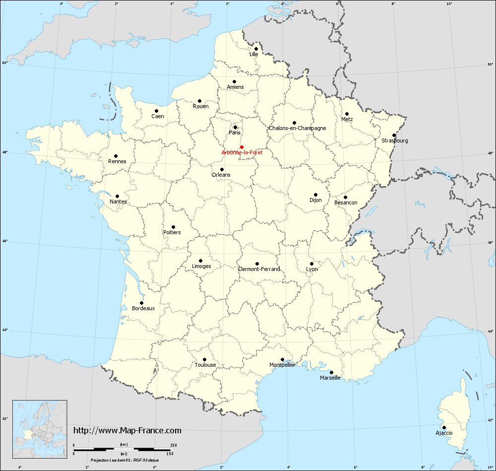
Map of Arbonne-la-Forêt with regions and prefectures
|
View the map of Arbonne-la-Forêt in full screen (1000 x 949)
|
You will find the location of Arbonne-la-Forêt on the map of France of regions in Lambert 93 coordinates. The town of Arbonne-la-Forêt is located in the department of Seine-et-Marne of the french region Île-de-France.
Geographical sexagesimal coordinates / GPS (WGS84):
Latitude: 48° 24' 48'' North
Longitude: 02° 33' 54'' East
Geographical decimal coordinates :
Latitude: 48.414 degrees (48.414° North)
Longitude: 2.564 degrees (2.564° East)
Lambert 93 coordinates :
X: 6 678 hectometers
Y: 68 126 hectometers
Lambert 2 coordinates :
X: 6 169 hectometers
Y: 23 794 hectometers
Below, the geographical coordinates of Melun, prefecture of the Seine-et-Marne department:
Geographical sexagesimal coordinates / GPS (WGS84):
Latitude: 48° 32' 23'' North
Longitude: 02° 39' 33'' East
Geographical decimal coordinates :
Latitude: 48.541 degrees (48.541° North)
Longitude: 2.657 degrees (2.657° East)
Lambert 93 coordinates :
X: 6 748 hectometers
Y: 68 267 hectometers
Lambert 2 coordinates :
X: 6 238 hectometers
Y: 23 935 hectometers
|
This map of Arbonne-la-Forêt is reusable and modifiable by making a link to this page of the Map-France.com website or by using the given code :
|
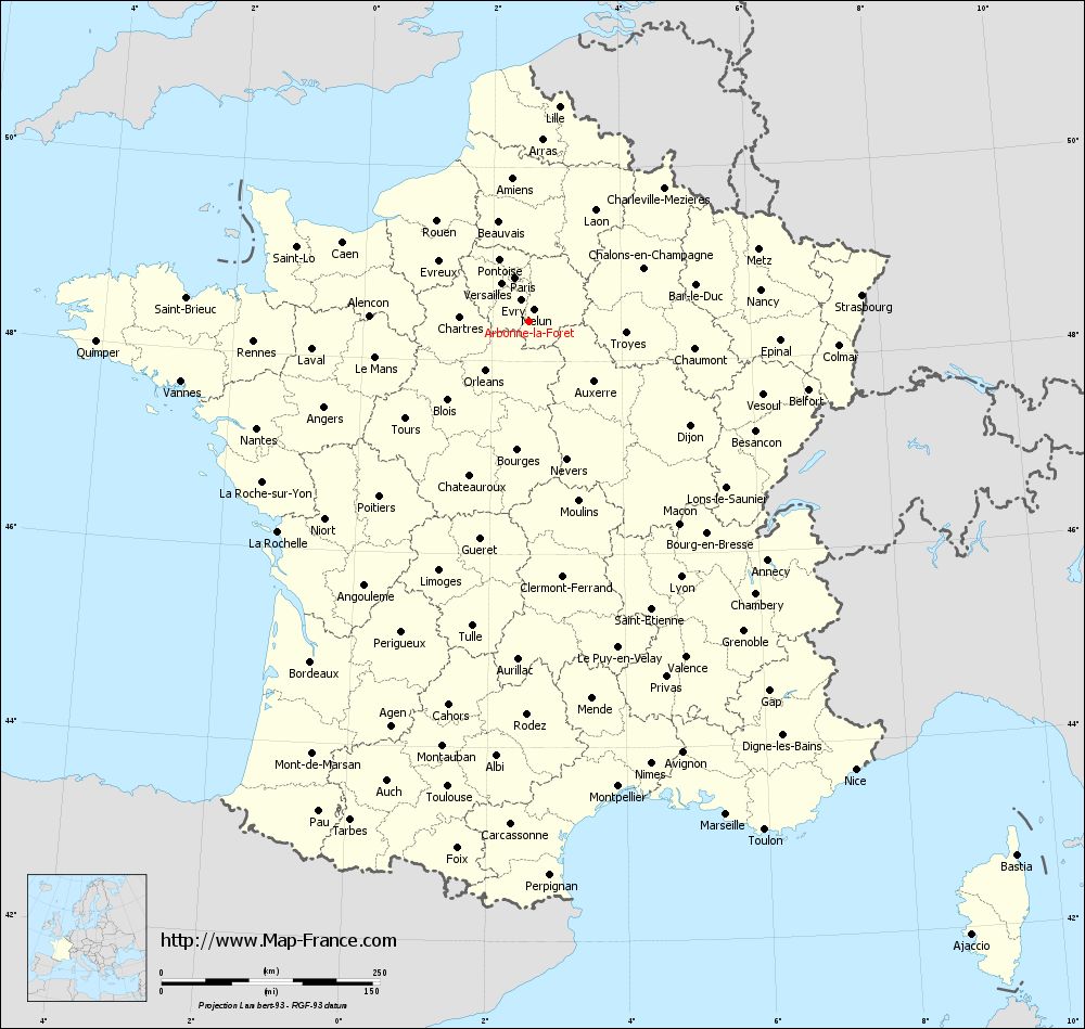
Map of Arbonne-la-Forêt with departments and prefectures
|
Voir la carte of Arbonne-la-Forêt en grand format (1000 x 949)
|
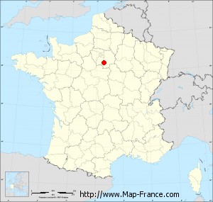
Here is the localization of Arbonne-la-Forêt on the France map of departments in Lambert 93 coordinates. The city of Arbonne-la-Forêt is shown on the map by a red point.
The town of Arbonne-la-Forêt is located in the department of Seine-et-Marne of the french region Île-de-France.
The latitude of Arbonne-la-Forêt is 48.414 degrees North.
The longitude of Arbonne-la-Forêt is 2.564 degrees East.
Here the distance between Arbonne-la-Forêt and the biggest cities of France:
Distances are calculated as the crow flies (orthodromic distance)
Distance between Arbonne-la-Forêt and Paris : 52.21 kilometers
Distance between Arbonne-la-Forêt and Marseille : 609.19 kilometers
Distance between Arbonne-la-Forêt and Lyon : 341.19 kilometers
Distance between Arbonne-la-Forêt and Toulouse : 541.67 kilometers
Distance between Arbonne-la-Forêt and Nice : 635.92 kilometers
Distance between Arbonne-la-Forêt and Nantes : 334.64 kilometers
Distance between Arbonne-la-Forêt and Strasbourg : 382.6 kilometers
Distance between Arbonne-la-Forêt and Montpellier : 543.3 kilometers
Distance between Arbonne-la-Forêt and Bordeaux : 463.33 kilometers
Distance between Arbonne-la-Forêt and Lille : 248.46 kilometers
Distance between Arbonne-la-Forêt and Rennes : 315.77 kilometers
Distance between Arbonne-la-Forêt and Reims : 142.51 kilometers
Clic here to see the map of Arbonne-la-Forêt in full screen:
Arbonne-la-Forêt on the map of french departments
|
This administrative map of Arbonne-la-Forêt is reusable and modifiable by making a link to this page of the Map-France.com website or by using the given code :
|
Administrative base maps of Arbonne-la-Forêt
|

See the administrative base map of Arbonne-la-Forêt in full screen (1000 x 949)
|
Small administrative base map of Arbonne-la-Forêt
|
This base map administrative of Arbonne-la-Forêt is reusable and modifiable by making a link to this page of the Map-France.com website or by using the given code :
|
 French Version : http://www.cartesfrance.fr