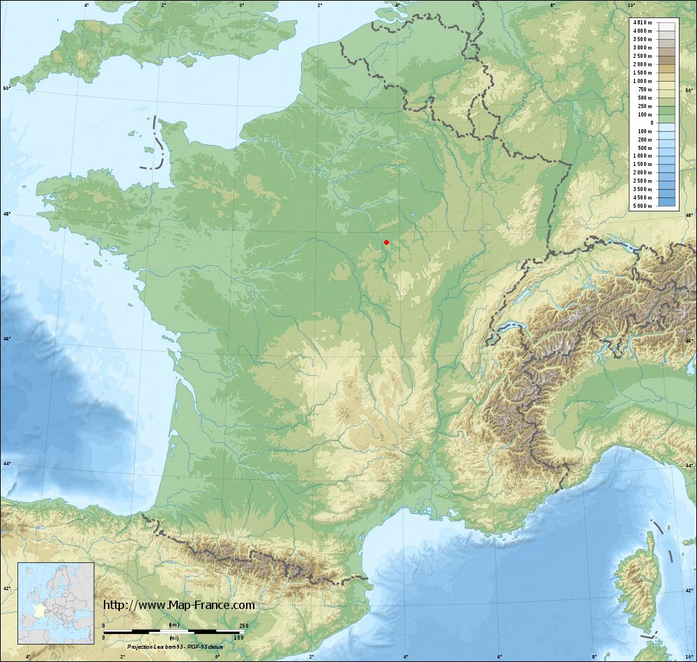
Bleigny-le-Carreau on the relief France map in Lambert 93 coordinates
|

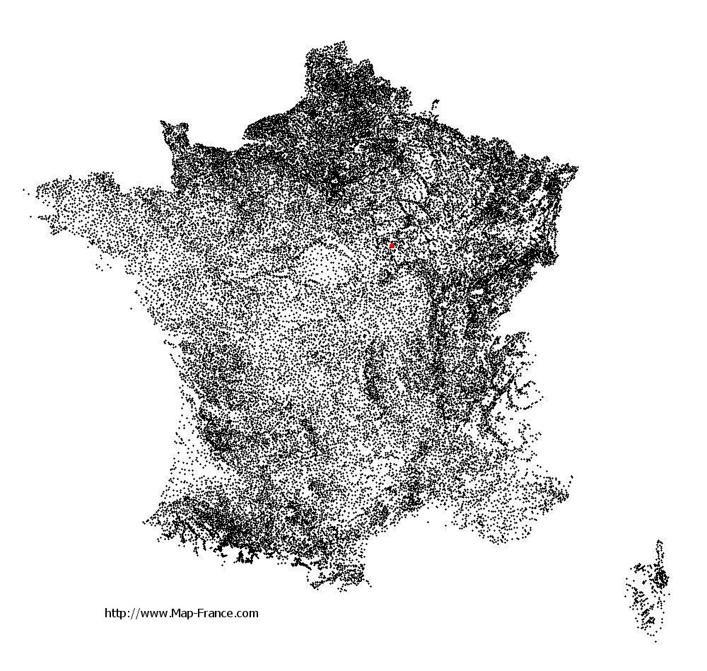
See the map of Bleigny-le-Carreau in full screen (1000 x 949)
|
At left, here is the location of Bleigny-le-Carreau on the relief France map in Lambert 93 coordinates.
Here are the altitudes of Bleigny-le-Carreau :
- Town hall altitude of Bleigny-le-Carreau is 250 meters
- Minimum altitude of Bleigny-le-Carreau is 149 meters
- Maximum altitude of Bleigny-le-Carreau is 291 meters
- Medium altitude of Bleigny-le-Carreau is 220 meters
Here are the altitudes of Auxerre, prefecture of Yonne department:
- Town hall altitude of Auxerre is 120 meters
- Minimum altitude of Auxerre is 93 meters
- Maximum altitude of Auxerre is 217 meters
- Medium altitude of Auxerre is 155 meters
Here are the altitudes of the french biggest cities:
Paris : 33 meters
Marseille : 20 meters
Lyon : 237 meters
Toulouse : 146 meters
Nice : 10 meters
Nantes : 20 meters
Strasbourg : 144 meters
Montpellier : 35 meters
Bordeaux : 16 meters
Lille : 20 meters
Rennes : 35 meters
Reims : 83 meters
Click here for the terrain map of Bleigny-le-Carreau in full screen:
Relief map of Bleigny-le-Carreau
|
This relief map of Bleigny-le-Carreau is reusable and modifiable by making a link to this page of the Map-France.com website or by using the given code :
|
Terrain base map of Bleigny-le-Carreau
|
See the terrain base map of Bleigny-le-Carreau in full screen (1000 x 949)
|
Small relief base map of Bleigny-le-Carreau

|
This base map of Bleigny-le-Carreau is reusable and modifiable by making a link to this page of the Map-France.com website or by using the given code :
|
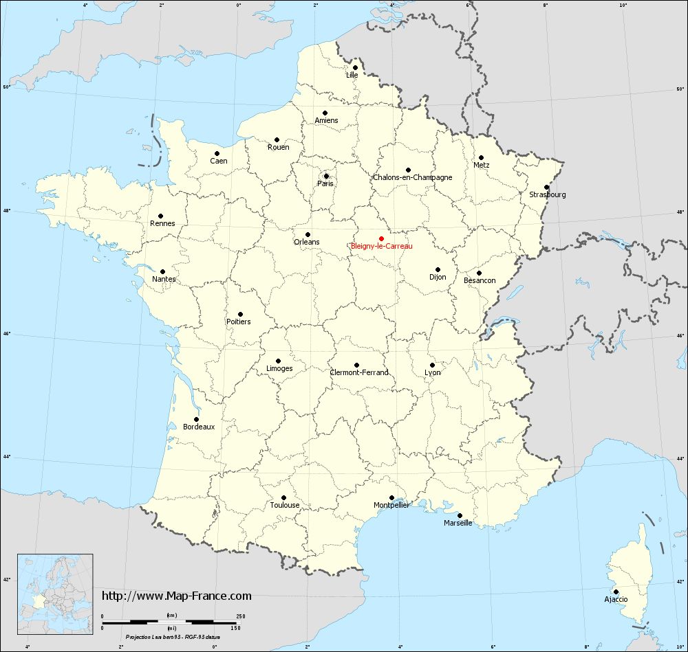
Map of Bleigny-le-Carreau with regions and prefectures
|
View the map of Bleigny-le-Carreau in full screen (1000 x 949)
|
You will find the location of Bleigny-le-Carreau on the map of France of regions in Lambert 93 coordinates. The town of Bleigny-le-Carreau is located in the department of Yonne of the french region Bourgogne.
Geographical sexagesimal coordinates / GPS (WGS84):
Latitude: 47° 50' 08'' North
Longitude: 03° 40' 58'' East
Geographical decimal coordinates :
Latitude: 47.835 degrees (47.835° North)
Longitude: 3.683 degrees (3.683° East)
Lambert 93 coordinates :
X: 7 511 hectometers
Y: 67 486 hectometers
Lambert 2 coordinates :
X: 7 008 hectometers
Y: 23 160 hectometers
Below, the geographical coordinates of Auxerre, prefecture of the Yonne department:
Geographical sexagesimal coordinates / GPS (WGS84):
Latitude: 47° 47' 51'' North
Longitude: 03° 34' 01'' East
Geographical decimal coordinates :
Latitude: 47.798 degrees (47.798° North)
Longitude: 3.571 degrees (3.571° East)
Lambert 93 coordinates :
X: 7 424 hectometers
Y: 67 443 hectometers
Lambert 2 coordinates :
X: 6 922 hectometers
Y: 23 116 hectometers
|
This map of Bleigny-le-Carreau is reusable and modifiable by making a link to this page of the Map-France.com website or by using the given code :
|
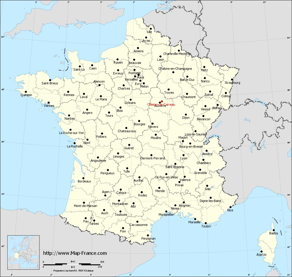
Map of Bleigny-le-Carreau with departments and prefectures
|
Voir la carte of Bleigny-le-Carreau en grand format (1000 x 949)
|
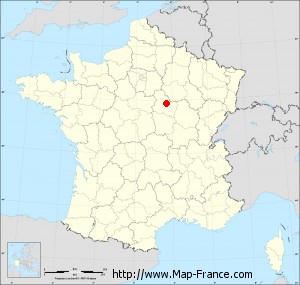
Here is the localization of Bleigny-le-Carreau on the France map of departments in Lambert 93 coordinates. The city of Bleigny-le-Carreau is shown on the map by a red point.
The town of Bleigny-le-Carreau is located in the department of Yonne of the french region Bourgogne.
The latitude of Bleigny-le-Carreau is 47.835 degrees North.
The longitude of Bleigny-le-Carreau is 3.683 degrees East.
Here the distance between Bleigny-le-Carreau and the biggest cities of France:
Distances are calculated as the crow flies (orthodromic distance)
Distance between Bleigny-le-Carreau and Paris : 150.75 kilometers
Distance between Bleigny-le-Carreau and Marseille : 521.53 kilometers
Distance between Bleigny-le-Carreau and Lyon : 246.68 kilometers
Distance between Bleigny-le-Carreau and Toulouse : 501.37 kilometers
Distance between Bleigny-le-Carreau and Nice : 535.99 kilometers
Distance between Bleigny-le-Carreau and Nantes : 398.71 kilometers
Distance between Bleigny-le-Carreau and Strasbourg : 312.81 kilometers
Distance between Bleigny-le-Carreau and Montpellier : 469.81 kilometers
Distance between Bleigny-le-Carreau and Bordeaux : 465.9 kilometers
Distance between Bleigny-le-Carreau and Lille : 313.72 kilometers
Distance between Bleigny-le-Carreau and Rennes : 400 kilometers
Distance between Bleigny-le-Carreau and Reims : 160.14 kilometers
Clic here to see the map of Bleigny-le-Carreau in full screen:
Bleigny-le-Carreau on the map of french departments
|
This administrative map of Bleigny-le-Carreau is reusable and modifiable by making a link to this page of the Map-France.com website or by using the given code :
|
Administrative base maps of Bleigny-le-Carreau
|

See the administrative base map of Bleigny-le-Carreau in full screen (1000 x 949)
|
Small administrative base map of Bleigny-le-Carreau
|
This base map administrative of Bleigny-le-Carreau is reusable and modifiable by making a link to this page of the Map-France.com website or by using the given code :
|
 French Version : http://www.cartesfrance.fr