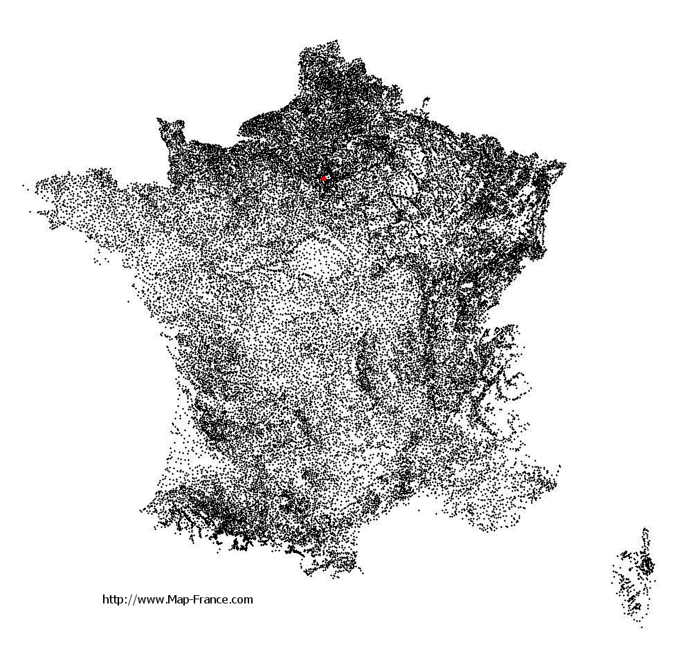
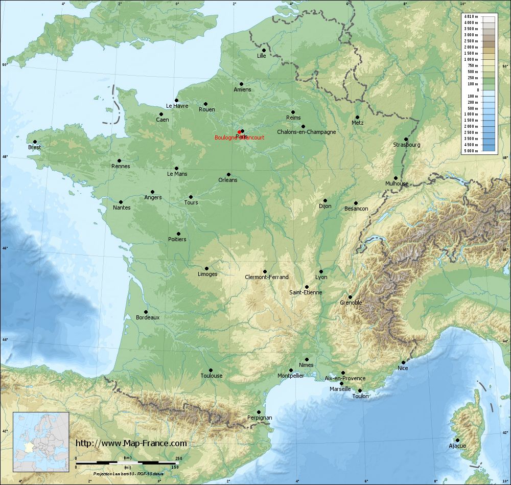
Boulogne-Billancourt on the relief France map in Lambert 93 coordinates
|
See the map of Boulogne-Billancourt in full screen (1000 x 949)
|
At left, here is the location of Boulogne-Billancourt on the relief France map in Lambert 93 coordinates.
Here are the altitudes of Boulogne-Billancourt :
- Town hall altitude of Boulogne-Billancourt is 33 meters
- Minimum altitude of Boulogne-Billancourt is 28 meters
- Maximum altitude of Boulogne-Billancourt is 40 meters
- Medium altitude of Boulogne-Billancourt is 34 meters
Here are the altitudes of Nanterre, prefecture of Hauts-de-Seine department:
- Town hall altitude of Nanterre is 42 meters
- Minimum altitude of Nanterre is 22 meters
- Maximum altitude of Nanterre is 127 meters
- Medium altitude of Nanterre is 75 meters
Here are the altitudes of the french biggest cities:
Paris : 33 meters
Marseille : 20 meters
Lyon : 237 meters
Toulouse : 146 meters
Nice : 10 meters
Nantes : 20 meters
Strasbourg : 144 meters
Montpellier : 35 meters
Bordeaux : 16 meters
Lille : 20 meters
Rennes : 35 meters
Reims : 83 meters
Click here for the terrain map of Boulogne-Billancourt in full screen:
Relief map of Boulogne-Billancourt
|
This relief map of Boulogne-Billancourt is reusable and modifiable by making a link to this page of the Map-France.com website or by using the given code :
|
Terrain base map of Boulogne-Billancourt
|

See the terrain base map of Boulogne-Billancourt in full screen (1000 x 949)
|
Small relief base map of Boulogne-Billancourt

|
This base map of Boulogne-Billancourt is reusable and modifiable by making a link to this page of the Map-France.com website or by using the given code :
|
Map of Boulogne-Billancourt with regions and prefectures
|
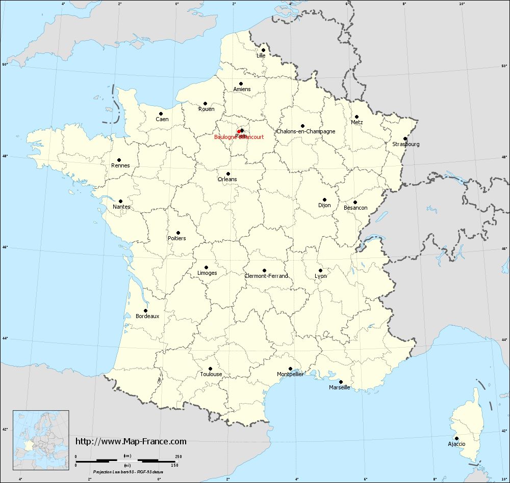
View the map of Boulogne-Billancourt in full screen (1000 x 949)
|
You will find the location of Boulogne-Billancourt on the map of France of regions in Lambert 93 coordinates. The city of Boulogne-Billancourt is located in the department of Hauts-de-Seine of the french region Île-de-France.
Geographical sexagesimal coordinates / GPS (WGS84):
Latitude: 48° 50' 07'' North
Longitude: 02° 14' 29'' East
Geographical decimal coordinates :
Latitude: 48.84 degrees (48.84° North)
Longitude: 2.242 degrees (2.242° East)
Lambert 93 coordinates :
X: 6 443 hectometers
Y: 68 598 hectometers
Lambert 2 coordinates :
X: 5 930 hectometers
Y: 24 263 hectometers
Below, the geographical coordinates of Nanterre, prefecture of the Hauts-de-Seine department:
Geographical sexagesimal coordinates / GPS (WGS84):
Latitude: 48° 53' 26'' North
Longitude: 02° 12' 13'' East
Geographical decimal coordinates :
Latitude: 48.891 degrees (48.891° North)
Longitude: 2.209 degrees (2.209° East)
Lambert 93 coordinates :
X: 6 416 hectometers
Y: 68 659 hectometers
Lambert 2 coordinates :
X: 5 903 hectometers
Y: 24 325 hectometers
|
This map of Boulogne-Billancourt is reusable and modifiable by making a link to this page of the Map-France.com website or by using the given code :
|
Map of Boulogne-Billancourt with departments and prefectures
|
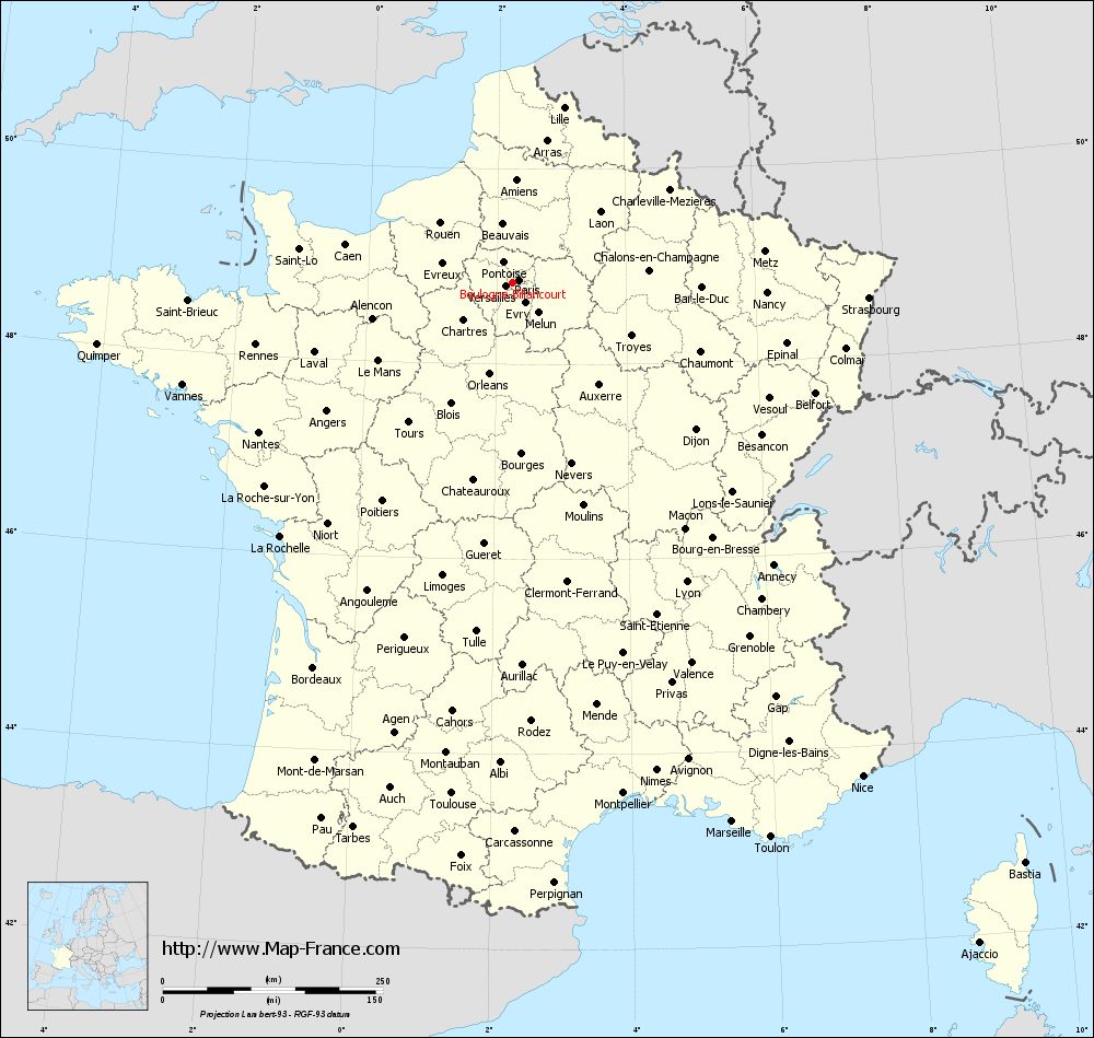
Voir la carte of Boulogne-Billancourt en grand format (1000 x 949)
|
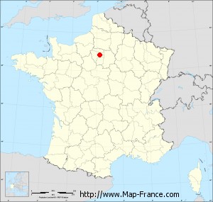
Here is the localization of Boulogne-Billancourt on the France map of departments in Lambert 93 coordinates. The city of Boulogne-Billancourt is shown on the map by a red point.
The city of Boulogne-Billancourt is located in the department of Hauts-de-Seine of the french region Île-de-France.
The latitude of Boulogne-Billancourt is 48.84 degrees North.
The longitude of Boulogne-Billancourt is 2.242 degrees East.
Here the distance between Boulogne-Billancourt and the biggest cities of France:
Distances are calculated as the crow flies (orthodromic distance)
Distance between Boulogne-Billancourt and Paris : 7.92 kilometers
Distance between Boulogne-Billancourt and Marseille : 661.98 kilometers
Distance between Boulogne-Billancourt and Lyon : 393.97 kilometers
Distance between Boulogne-Billancourt and Toulouse : 585.33 kilometers
Distance between Boulogne-Billancourt and Nice : 688.11 kilometers
Distance between Boulogne-Billancourt and Nantes : 334.57 kilometers
Distance between Boulogne-Billancourt and Strasbourg : 405.12 kilometers
Distance between Boulogne-Billancourt and Montpellier : 594.52 kilometers
Distance between Boulogne-Billancourt and Bordeaux : 492.89 kilometers
Distance between Boulogne-Billancourt and Lille : 206.88 kilometers
Distance between Boulogne-Billancourt and Rennes : 300.11 kilometers
Distance between Boulogne-Billancourt and Reims : 138.32 kilometers
Clic here to see the map of Boulogne-Billancourt in full screen:
Boulogne-Billancourt on the map of french departments
|
This administrative map of Boulogne-Billancourt is reusable and modifiable by making a link to this page of the Map-France.com website or by using the given code :
|
Administrative base maps of Boulogne-Billancourt
|

See the administrative base map of Boulogne-Billancourt in full screen (1000 x 949)
|
Small administrative base map of Boulogne-Billancourt
|
This base map administrative of Boulogne-Billancourt is reusable and modifiable by making a link to this page of the Map-France.com website or by using the given code :
|
 French Version : http://www.cartesfrance.fr