Map of France

Bouttencourt photos


Find a town, a zip code,
a department, a region... in France
I like Map-France.com !


Bouttencourt pictures


Here are the photos of the town of Bouttencourt and nearby towns. Bouttencourt is located in the department of Somme in the region of Picardie. You will find the satellite map of Bouttencourt under these photos.

To see photos of nearby towns of Bouttencourt, you can try the following links :
   - Pictures of Blangy-sur-Bresle (76340) : town located at 0.88 km
   - Pictures of Neslette (80140) : town located at 2.57 km
   - Pictures of Bouillancourt-en-Séry (80220) : town located at 2.81 km
   - Pictures of Monchaux-Soreng (76340) : town located at 3.23 km
   - Pictures of Framicourt (80140) : town located at 3.79 km
   - Pictures of Nesle-Normandeuse (76340) : town located at 3.91 km
   - Pictures of Rieux (76340) : town located at 3.95 km
   - Pictures of Le Translay (80140) : town located at 4.75 km
   - Pictures of Pierrecourt (76340) : town located at 4.85 km
   - Pictures of Rambures (80140) : town located at 4.89 km
   - Pictures of Nesle-l'Hôpital (80140) : town located at 5.17 km
   - Pictures of Biencourt (80140) : town located at 5.99 km

 - photos of the department prefecture of Somme : photos of Amiens
 - pictures of others cities of Somme : Somme


To see Bouttencourt from the sky, here is the satellite map of the town of Bouttencourt : Bouttencourt map.

I like Bouttencourt !


Photos of the town of Bouttencourt

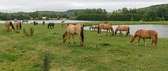
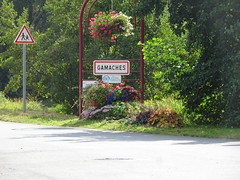
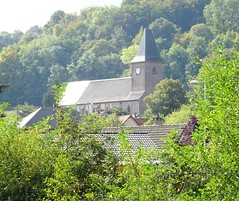
These photos taken near the town of Bouttencourt can be shown in full screen clicking on the thumbnails. Photos are copyrighted by their owners.

photo_00484 - Photo of Bouttencourt
photo_00484

2015_07_17 107 Following Henry V by Bike - Photo of Bouttencourt
2015_07_17 107 Following Henry V by Bike

Église Saint-Clément de Longroy - Photo of Bouttencourt
Église Saint-Clément de Longroy

Beauchamps, Lieu-Dieu, Somme, en2021  (7) - Photo of Bouttencourt
Beauchamps, Lieu-Dieu, Somme, en2021 (7)

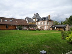
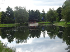
Lieu-Dieu les étangs - Photo of Bouttencourt
Lieu-Dieu les étangs

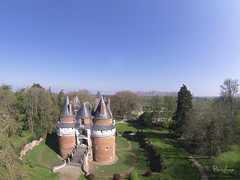
Kite Aerial Photography on Chateau de Rambures - Photo of Bouttencourt
Kite Aerial Photography on Chateau de Rambures

Photo of Bouttencourt

Baie de Somme_1099.jpg - Photo of Bouttencourt
Baie de Somme_1099.jpg

Baie de Somme_1086.jpg - Photo of Bouttencourt
Baie de Somme_1086.jpg

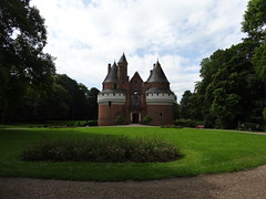
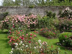
Tour Normandie 214 Chateau de Rambures - Photo of Bouttencourt
Tour Normandie 214 Chateau de Rambures

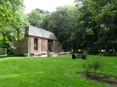
Tour Normandie 213 Chateau de Rambures - Photo of Bouttencourt
Tour Normandie 213 Chateau de Rambures

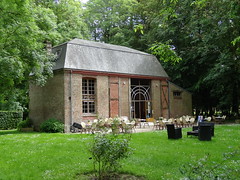
Tour Normandie 212 Chateau de Rambures - Photo of Bouttencourt
Tour Normandie 212 Chateau de Rambures

Tour Normandie 211 Chateau de Rambures - Photo of Bouttencourt
Tour Normandie 211 Chateau de Rambures

Tour Normandie 209 Chateau de Rambures - Photo of Bouttencourt
Tour Normandie 209 Chateau de Rambures


Bouttencourt from the sky


Old photos of the town of Bouttencourt

These photos taken near the town of Bouttencourt can be shown in full screen clicking on the thumbnails. Photos are copyrighted by their owners.


Other maps, hotels and towns in france


Find another town, zip code, department, region, ...


Quick links Bouttencourt :


Back to the menus Map of France :


Make a link to this page of Bouttencourt with the following code :


Map of France | Regions | Departments | Cities | Partners | Terms | Contact