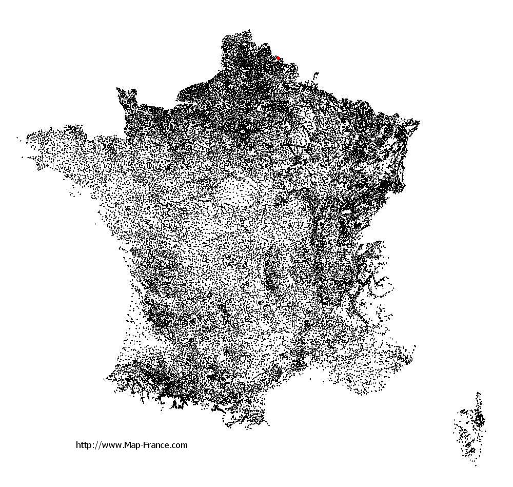
Bruille-Saint-Amand on the relief France map in Lambert 93 coordinates
|
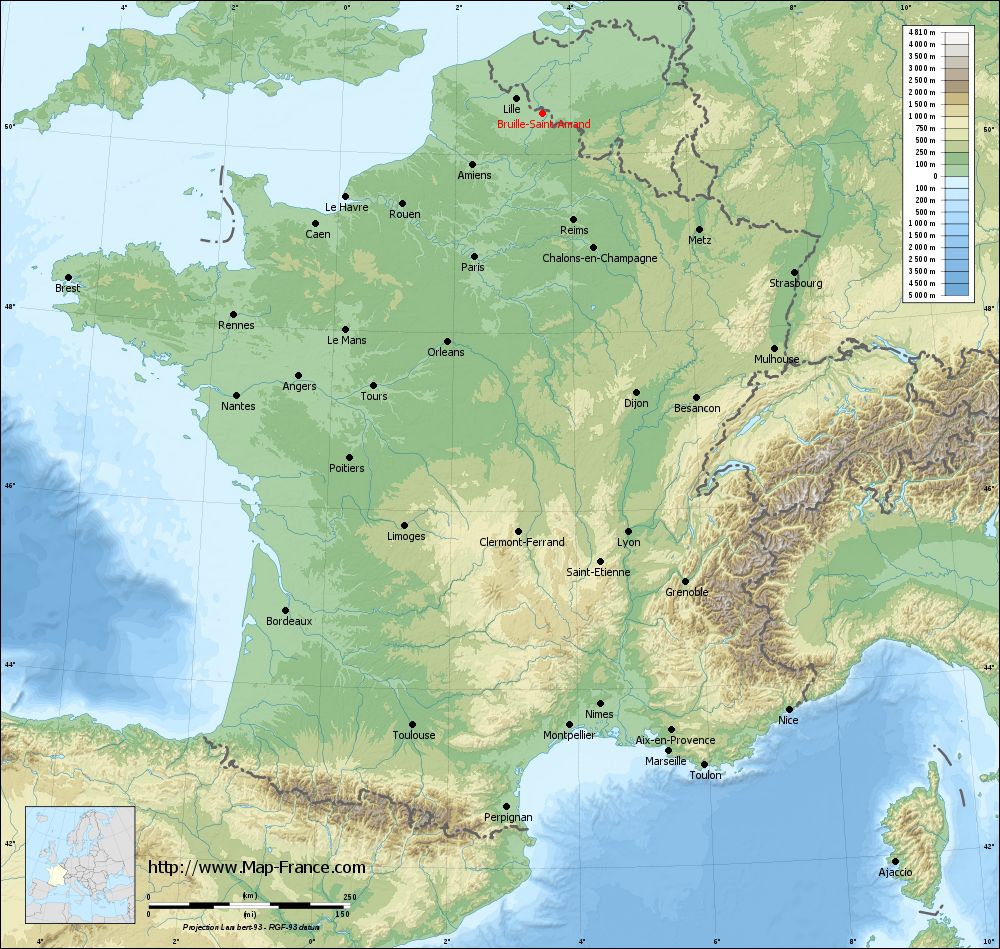
See the map of Bruille-Saint-Amand in full screen (1000 x 949)
|
At left, here is the location of Bruille-Saint-Amand on the relief France map in Lambert 93 coordinates.
Here are the altitudes of Bruille-Saint-Amand :
- Town hall altitude of Bruille-Saint-Amand is 25 meters
- Minimum altitude of Bruille-Saint-Amand is 16 meters
- Maximum altitude of Bruille-Saint-Amand is 38 meters
- Medium altitude of Bruille-Saint-Amand is 27 meters
Here are the altitudes of Lille, prefecture of Nord department:
- Town hall altitude of Lille is 20 meters
- Minimum altitude of Lille is 17 meters
- Maximum altitude of Lille is 45 meters
- Medium altitude of Lille is 31 meters
Here are the altitudes of the french biggest cities:
Paris : 33 meters
Marseille : 20 meters
Lyon : 237 meters
Toulouse : 146 meters
Nice : 10 meters
Nantes : 20 meters
Strasbourg : 144 meters
Montpellier : 35 meters
Bordeaux : 16 meters
Lille : 20 meters
Rennes : 35 meters
Reims : 83 meters
Click here for the terrain map of Bruille-Saint-Amand in full screen:
Relief map of Bruille-Saint-Amand
|
This relief map of Bruille-Saint-Amand is reusable and modifiable by making a link to this page of the Map-France.com website or by using the given code :
|
Terrain base map of Bruille-Saint-Amand
|

See the terrain base map of Bruille-Saint-Amand in full screen (1000 x 949)
|
Small relief base map of Bruille-Saint-Amand

|
This base map of Bruille-Saint-Amand is reusable and modifiable by making a link to this page of the Map-France.com website or by using the given code :
|
Map of Bruille-Saint-Amand with regions and prefectures
|
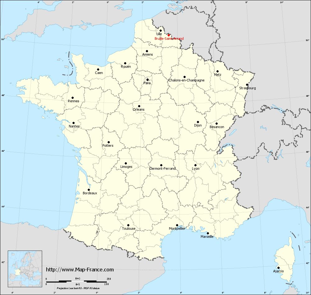
View the map of Bruille-Saint-Amand in full screen (1000 x 949)
|
You will find the location of Bruille-Saint-Amand on the map of France of regions in Lambert 93 coordinates. The town of Bruille-Saint-Amand is located in the department of Nord of the french region Nord-Pas-de-Calais.
Geographical sexagesimal coordinates / GPS (WGS84):
Latitude: 50° 27' 17'' North
Longitude: 03° 31' 10'' East
Geographical decimal coordinates :
Latitude: 50.473 degrees (50.473° North)
Longitude: 3.501 degrees (3.501° East)
Lambert 93 coordinates :
X: 7 369 hectometers
Y: 70 398 hectometers
Lambert 2 coordinates :
X: 6 842 hectometers
Y: 26 073 hectometers
Below, the geographical coordinates of Lille, prefecture of the Nord department:
Geographical sexagesimal coordinates / GPS (WGS84):
Latitude: 50° 37' 55'' North
Longitude: 03° 03' 27'' East
Geographical decimal coordinates :
Latitude: 50.628 degrees (50.628° North)
Longitude: 3.045 degrees (3.045° East)
Lambert 93 coordinates :
X: 7 041 hectometers
Y: 70 594 hectometers
Lambert 2 coordinates :
X: 6 511 hectometers
Y: 26 266 hectometers
|
This map of Bruille-Saint-Amand is reusable and modifiable by making a link to this page of the Map-France.com website or by using the given code :
|
Map of Bruille-Saint-Amand with departments and prefectures
|
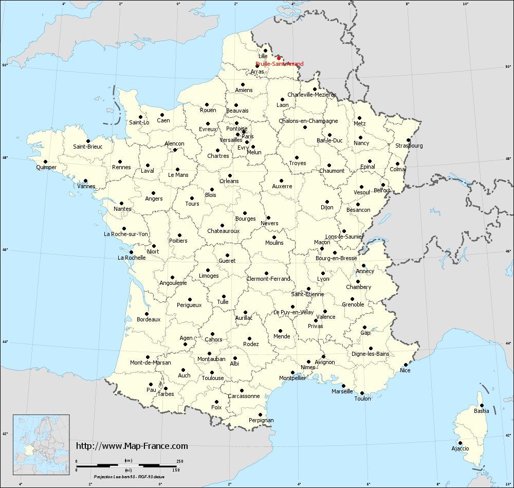
Voir la carte of Bruille-Saint-Amand en grand format (1000 x 949)
|
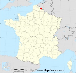
Here is the localization of Bruille-Saint-Amand on the France map of departments in Lambert 93 coordinates. The city of Bruille-Saint-Amand is shown on the map by a red point.
The town of Bruille-Saint-Amand is located in the department of Nord of the french region Nord-Pas-de-Calais.
The latitude of Bruille-Saint-Amand is 50.473 degrees North.
The longitude of Bruille-Saint-Amand is 3.501 degrees East.
Here the distance between Bruille-Saint-Amand and the biggest cities of France:
Distances are calculated as the crow flies (orthodromic distance)
Distance between Bruille-Saint-Amand and Paris : 197.47 kilometers
Distance between Bruille-Saint-Amand and Marseille : 810.14 kilometers
Distance between Bruille-Saint-Amand and Lyon : 532.95 kilometers
Distance between Bruille-Saint-Amand and Toulouse : 779.22 kilometers
Distance between Bruille-Saint-Amand and Nice : 803.65 kilometers
Distance between Bruille-Saint-Amand and Nantes : 516.81 kilometers
Distance between Bruille-Saint-Amand and Strasbourg : 371.66 kilometers
Distance between Bruille-Saint-Amand and Montpellier : 763.21 kilometers
Distance between Bruille-Saint-Amand and Bordeaux : 695.70 kilometers
Distance between Bruille-Saint-Amand and Lille : 36.50 kilometers
Distance between Bruille-Saint-Amand and Rennes : 458.14 kilometers
Distance between Bruille-Saint-Amand and Reims : 140.26 kilometers
Clic here to see the map of Bruille-Saint-Amand in full screen:
Bruille-Saint-Amand on the map of french departments
|
This administrative map of Bruille-Saint-Amand is reusable and modifiable by making a link to this page of the Map-France.com website or by using the given code :
|
Administrative base maps of Bruille-Saint-Amand
|

See the administrative base map of Bruille-Saint-Amand in full screen (1000 x 949)
|
Small administrative base map of Bruille-Saint-Amand
|
This base map administrative of Bruille-Saint-Amand is reusable and modifiable by making a link to this page of the Map-France.com website or by using the given code :
|
 French Version : http://www.cartesfrance.fr