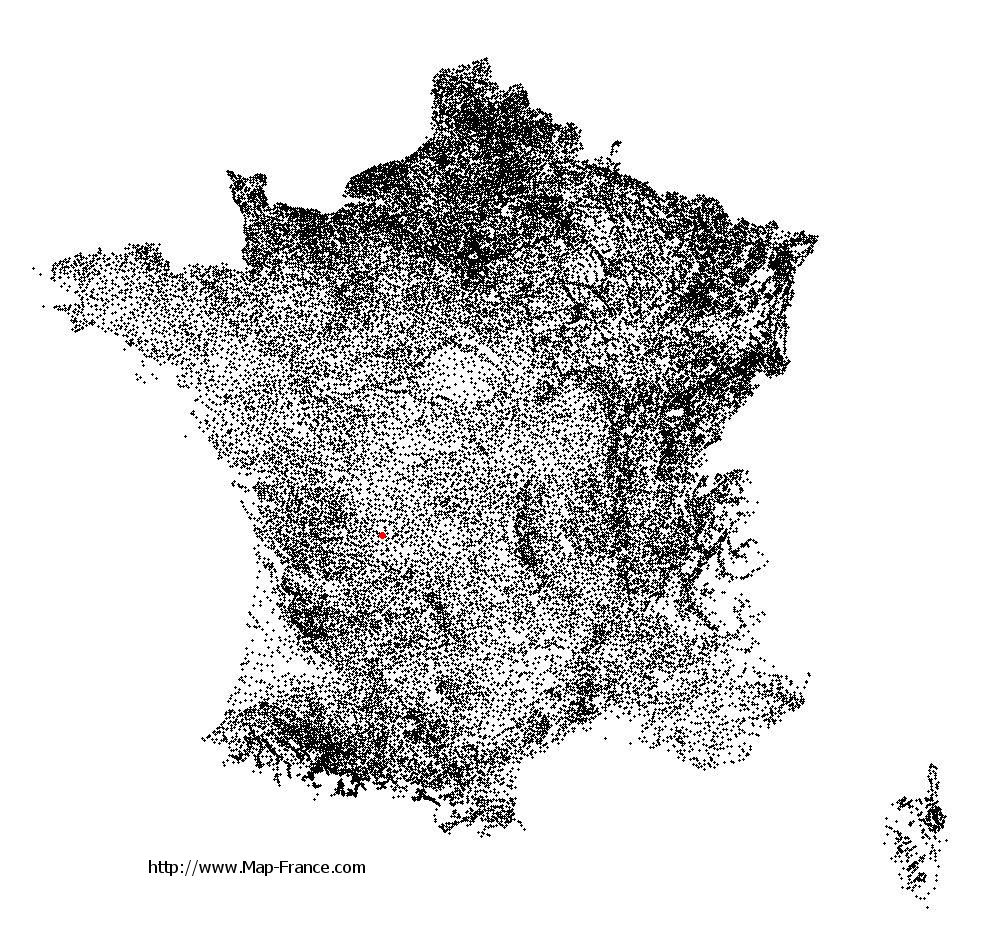
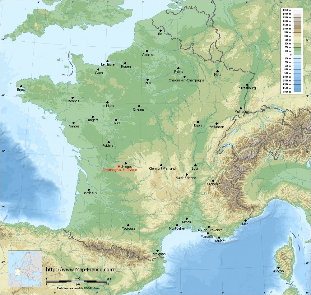
Champagnac-la-Rivière on the relief France map in Lambert 93 coordinates
|
See the map of Champagnac-la-Rivière in full screen (1000 x 949)
|
At left, here is the location of Champagnac-la-Rivière on the relief France map in Lambert 93 coordinates.
Here are the altitudes of Champagnac-la-Rivière :
- Town hall altitude of Champagnac-la-Rivière is 300 meters
- Minimum altitude of Champagnac-la-Rivière is 278 meters
- Maximum altitude of Champagnac-la-Rivière is 473 meters
- Medium altitude of Champagnac-la-Rivière is 376 meters
Here are the altitudes of Limoges, prefecture of Haute-Vienne department:
- Town hall altitude of Limoges is 306 meters
- Minimum altitude of Limoges is 209 meters
- Maximum altitude of Limoges is 431 meters
- Medium altitude of Limoges is 320 meters
Here are the altitudes of the french biggest cities:
Paris : 33 meters
Marseille : 20 meters
Lyon : 237 meters
Toulouse : 146 meters
Nice : 10 meters
Nantes : 20 meters
Strasbourg : 144 meters
Montpellier : 35 meters
Bordeaux : 16 meters
Lille : 20 meters
Rennes : 35 meters
Reims : 83 meters
Click here for the terrain map of Champagnac-la-Rivière in full screen:
Relief map of Champagnac-la-Rivière
|
This relief map of Champagnac-la-Rivière is reusable and modifiable by making a link to this page of the Map-France.com website or by using the given code :
|
Terrain base map of Champagnac-la-Rivière
|

See the terrain base map of Champagnac-la-Rivière in full screen (1000 x 949)
|
Small relief base map of Champagnac-la-Rivière
|
This base map of Champagnac-la-Rivière is reusable and modifiable by making a link to this page of the Map-France.com website or by using the given code :
|
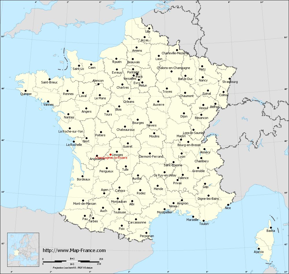
Map of Champagnac-la-Rivière with regions and prefectures
|
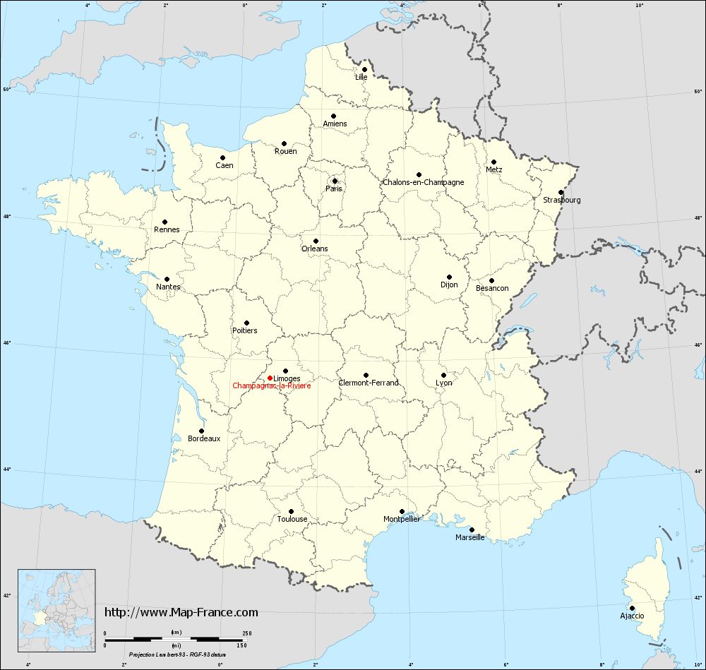
View the map of Champagnac-la-Rivière in full screen (1000 x 949)
|
You will find the location of Champagnac-la-Rivière on the map of France of regions in Lambert 93 coordinates. The town of Champagnac-la-Rivière is located in the department of Haute-Vienne of the french region Limousin.
Geographical sexagesimal coordinates / GPS (WGS84):
Latitude: 45° 42' 35'' North
Longitude: 00° 54' 44'' East
Geographical decimal coordinates :
Latitude: 45.711 degrees (45.711° North)
Longitude: 0.911 degrees (0.911° East)
Lambert 93 coordinates :
X: 5 376 hectometers
Y: 65 144 hectometers
Lambert 2 coordinates :
X: 4 891 hectometers
Y: 20 798 hectometers
Below, the geographical coordinates of Limoges, prefecture of the Haute-Vienne department:
Geographical sexagesimal coordinates / GPS (WGS84):
Latitude: 45° 50' 04'' North
Longitude: 01° 15' 42'' East
Geographical decimal coordinates :
Latitude: 45.832 degrees (45.832° North)
Longitude: 1.259 degrees (1.259° East)
Lambert 93 coordinates :
X: 5 651 hectometers
Y: 65 276 hectometers
Lambert 2 coordinates :
X: 5 165 hectometers
Y: 20 933 hectometers
|
This map of Champagnac-la-Rivière is reusable and modifiable by making a link to this page of the Map-France.com website or by using the given code :
|
Map of Champagnac-la-Rivière with departments and prefectures
|
Voir la carte of Champagnac-la-Rivière en grand format (1000 x 949)
|
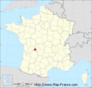
Here is the localization of Champagnac-la-Rivière on the France map of departments in Lambert 93 coordinates. The city of Champagnac-la-Rivière is shown on the map by a red point.
The town of Champagnac-la-Rivière is located in the department of Haute-Vienne of the french region Limousin.
The latitude of Champagnac-la-Rivière is 45.711 degrees North.
The longitude of Champagnac-la-Rivière is 0.911 degrees East.
Here the distance between Champagnac-la-Rivière and the biggest cities of France:
Distances are calculated as the crow flies (orthodromic distance)
Distance between Champagnac-la-Rivière and Paris : 366.29 kilometers
Distance between Champagnac-la-Rivière and Marseille : 445.3 kilometers
Distance between Champagnac-la-Rivière and Lyon : 304.3 kilometers
Distance between Champagnac-la-Rivière and Toulouse : 238.36 kilometers
Distance between Champagnac-la-Rivière and Nice : 548.53 kilometers
Distance between Champagnac-la-Rivière and Nantes : 252.31 kilometers
Distance between Champagnac-la-Rivière and Strasbourg : 607.48 kilometers
Distance between Champagnac-la-Rivière and Montpellier : 330.67 kilometers
Distance between Champagnac-la-Rivière and Bordeaux : 150.98 kilometers
Distance between Champagnac-la-Rivière and Lille : 568.69 kilometers
Distance between Champagnac-la-Rivière and Rennes : 331.03 kilometers
Distance between Champagnac-la-Rivière and Reims : 458.4 kilometers
Clic here to see the map of Champagnac-la-Rivière in full screen:
Champagnac-la-Rivière on the map of french departments
|
This administrative map of Champagnac-la-Rivière is reusable and modifiable by making a link to this page of the Map-France.com website or by using the given code :
|
Administrative base maps of Champagnac-la-Rivière
|

See the administrative base map of Champagnac-la-Rivière in full screen (1000 x 949)
|
Small administrative base map of Champagnac-la-Rivière
|
This base map administrative of Champagnac-la-Rivière is reusable and modifiable by making a link to this page of the Map-France.com website or by using the given code :
|
 French Version : http://www.cartesfrance.fr